2020s Maps of Prairie County, Montana
Explore 104 historic maps of Prairie County from the 2020s. These maps offer a rare glimpse into what life looked like during the 2020s — showing old roads, neighborhoods, homes, and landmarks that have changed or disappeared over time.
Whether you're researching your family's past, planning a metal detecting trip, or studying how Prairie County's landscape evolved across the 2020s, these high-resolution maps are a powerful tool for exploring the history of this region.
- Focus on a specific era: All maps on this page are from the 2020s, giving you a focused view of this time period.
- See what’s changed: Compare century-old streets, trails, and buildings to today's modern landscape using overlays and satellite layers.
- Research with precision: Use these maps for genealogy, historical research, land use analysis, or educational projects.
- View, download, or print: Maps are fully viewable online in high resolution, and can be downloaded or printed for your own records.
Start exploring Prairie County's history through authentic maps from the 2020s. This is your window into the past.
Prairie County, MT maps
(104)- 2020 Map of South Fork Reservoir, 2020 Print
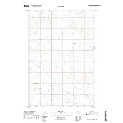 2020 South Fork Reservoir2020 Print · USGSPrairie County ranch lands are captured here in the early twenty-first century, showing a remote landscape shaped by water and wind. Researchers can trace the drainage of South Fork Reservoir and locate isolated landmarks like Sid Spring and Bowgun Rd.
 - 2020 Map of Fallon SW, 2020 Print
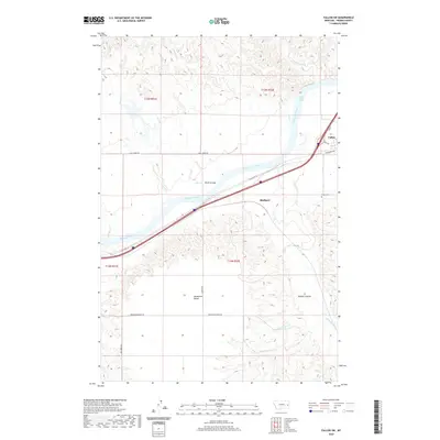 2020 Fallon SW2020 Print · USGSThe riverfront and high plains of Prairie County are captured here in the modern era as the Yellowstone River flows past Fallon. Local historians can trace the foundations of the area through the Fallon Cem, the site of Bluffport, and the White Island Rapids.
 - 2020 Map of Zero, 2020 Print
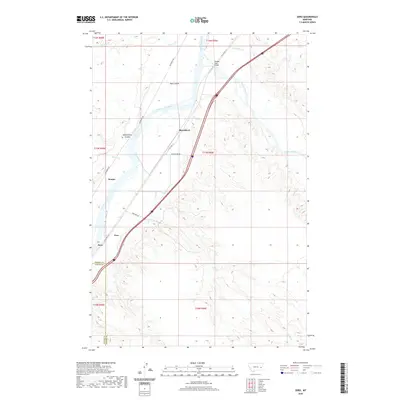 2020 Zero2020 Print · USGSEastern Montana at the turn of the 21st century remains defined by its rail history and river junctions. Trace the routes of the Milwaukee Rd and W Old Hwy 10 through rural stops like Zero, Saugus, and Blatchford.
 - 2020 Map of Combs Ranch, 2020 Print
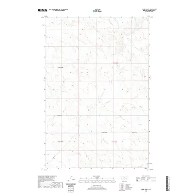 2020 Combs Ranch2020 Print · USGSPrairie County ranchlands come into focus in this contemporary survey of eastern Montana's high plains. Researchers can trace the network of creek beds and cattle routes including Cherry Creek Rd, Whites Cr, and the historic Combs Ranch.
 - 2020 Map of Watkins, 2020 Print
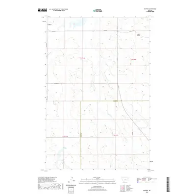 2020 Watkins2020 Print · USGSThe eastern Montana plains near the McCone and Prairie county line are shown here in recent detail, centered on the settlement of Watkins. Researchers can trace rural routes like Bob Fudge Rd and identify local water features including Lisk Cr Reservoir and Fryxell Coulee.
 - 2020 Map of Zero NE, 2020 Print
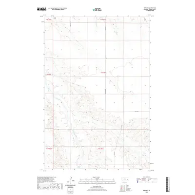 2020 Zero NE2020 Print · USGSPrairie County's river-carved plains are captured here in the 2020s, showing the essential connections of the Montana range. Trace the winding path of the Powder River or follow local routes like Terry Locate Rd and Ten Mile Rd.
 - 2020 Map of Becker Dam, 2020 Print
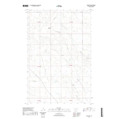 2020 Becker Dam2020 Print · USGSPrairie County's high-plateau ranching country is shown here in the early twenty-first century, defined by its water management and ridge roads. Researchers can trace the terrain from the Big Sheep Mountains down through Timber Coulee and past Becker Dam.
 - 2020 Map of Flat Top Butte SW, 2020 Print
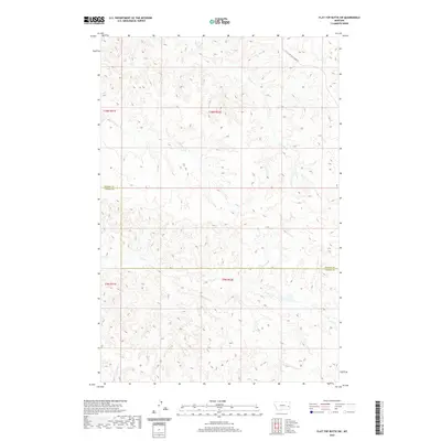 2020 Flat Top Butte SW2020 Print · USGSEastern Montana cattle country comes into focus in this recent survey of the Prairie and Custer County line. Genealogists and historians can trace local land divisions and the drainage of Tenmile Creek, Coal Creek, and Deep Creek.
 - 2020 Map of Morehouse Creek, 2020 Print
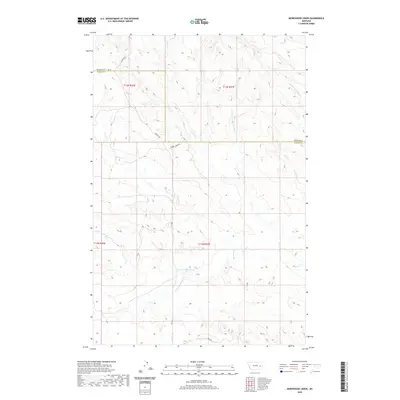 2020 Morehouse Creek2020 Print · USGSPrairie and Custer counties meet in this eastern Montana landscape during the early twenty-first century. Researchers can trace the winding paths of Custer Creek and Morehouse Creek alongside rural routes like Caprock Road.
 - 2020 Map of Flat Top Butte NE, 2020 Print
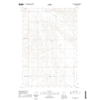 2020 Flat Top Butte NE2020 Print · USGSEastern Montana's Prairie County remains a land of expansive drainages and sparse ranch roads as documented in the early twenty-first century. Researchers can trace the seasonal flow of O'Fallon Cr and locate water landmarks like the Airport Reservoir.
 - 2020 Map of Fallon NE, 2020 Print
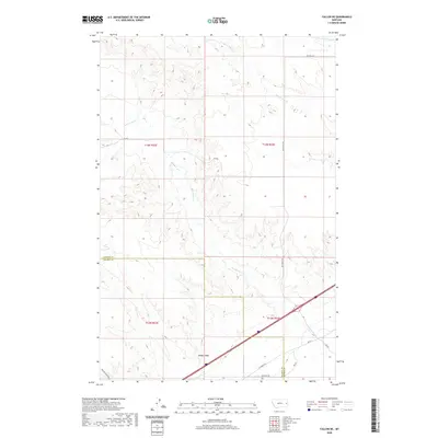 2020 Fallon NE2020 Print · USGSThe Montana high plains on the Dawson and Prairie County line are captured here in the early twenty-first century. Genealogists and local historians can trace rural travel routes like Whoopup Rd and Bad Route Rd near the landmark of Denbys Peak.
 - 2020 Map of Papps Reservoir, 2020 Print
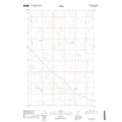 2020 Papps Reservoir2020 Print · USGSPrairie County rangeland remains a landscape of remote drainages and vital water catchments as seen in this recent survey. Researchers can trace the winding paths of Cedar Creek Rd and Cherry Creek RD near Papps Reservoir.
 - 2020 Map of Calypso, 2020 Print
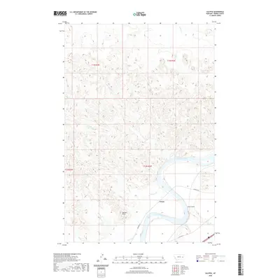 2020 Calypso2020 Print · USGSPrairie County at the Yellowstone River bend is captured here during the twenty-first century. Researchers can trace the path of the Milwaukee Rd through the settlement of Calypso and locate geographic landmarks like Sheridan Butte and Wolf Rapids.
 - 2020 Map of Corral Butte, 2020 Print
 2020 Corral Butte2020 Print · USGSThe high plains of the Prairie and Custer county line come into focus in this recent survey of the Montana interior. Researchers can trace the drainage systems of Corral Butte and Big Peak, following named watercourses like Cottonwood Cr and Miles Cr.
 - 2020 Map of Twin Buttes School, 2020 Print
 2020 Twin Buttes School2020 Print · USGSPrairie County ranching country is documented here in the early twenty-first century as the landscape transitions into Custer County. Researchers can locate remote landmarks like Twin Buttes School and trace the headwaters of Crow Rock Cr and Hamlick Reservoir.
 - 2020 Map of Little Whitney Creek, 2020 Print
 2020 Little Whitney Creek2020 Print · USGSThe Prairie and Custer County line was a landscape of remote transit and high-plains drainages in the early twenty-first century. Genealogists and historians can trace the paths of the Stage Line Rd and Terry Cut-Off Rd near Little Whitney Creek.
 - 2020 Map of McCloud, 2020 Print
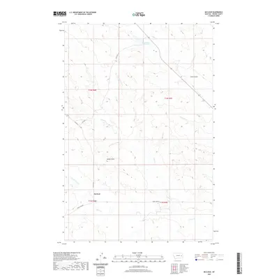 2020 McCloud2020 Print · USGSPrairie County at the start of the 2020s shows a landscape of wide drainages and isolated landmarks. Researchers can trace the layout of the McCloud area through local features like Homestead Reservoir, Bowgun Butte, and Smith Coulee.
 - 2020 Map of Physic Creek, 2020 Print
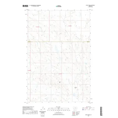 2020 Physic Creek2020 Print · USGSThe high plains of eastern Montana come into focus in this modern survey of the borderlands between Prairie and Custer Counties. Researchers can trace the drainage patterns of Physic Cr and identify landmarks like Ingersol Butte and Fallon Spring.
 - 2020 Map of Watkins SE, 2020 Print
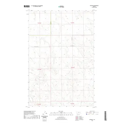 2020 Watkins SE2020 Print · USGSMcCone and Prairie Counties appear here in the early twenty-first century as a landscape of remote ranching tracts and high-plains drainages. Researchers can trace the path of the Redwater River or locate water sources like Morton Spring and Lisk Cr.
 - 2020 Map of McClure Reservoir, 2020 Print
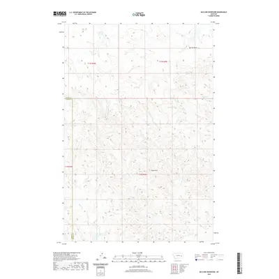 2020 McClure Reservoir2020 Print · USGSPrairie and Custer counties meet in this dissected Montana landscape during the early twenty-first century. Researchers can trace remote water sources and landforms including Silvertip Reservoir, Bootlegger Spring, and Eagle Butte.
 - 2020 Map of Flat Top Butte, 2020 Print
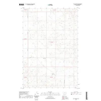 2020 Flat Top Butte2020 Print · USGSPrairie County at the start of the 2020s remains a landscape of high plains and deep coulees carved by seasonal waters. Researchers can trace the winding paths of Ash Cr and Dunwoodie Cr or locate landmarks like Flat Top Butte.
 - 2020 Map of Big Sheep Mountain NW, 2020 Print
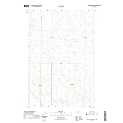 2020 Big Sheep Mountain NW2020 Print · USGSEastern Montana rangeland near the turn of the twenty-first century is defined by its sweeping drainage basins and county boundaries. Genealogists and land researchers can trace the routes of Ash Creek Road and the flow of East Duck Creek across the McCone and Prairie county line.
 - 2020 Map of Bearshack Creek, 2020 Print
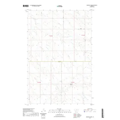 2020 Bearshack Creek2020 Print · USGSMcCone and Prairie Counties are captured here in a high-plains landscape where the Big Sheep Mountains meet the valley of Bearshack Creek. Genealogists and historians can trace the remote ranch roads and named drainage systems like Tusler Cr, Lower Summit, and Union Rd.
 - 2020 Map of Fallon, 2020 Print
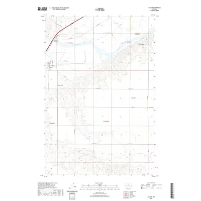 2020 Fallon2020 Print · USGSEastern Montana's river-and-prairie landscape is captured here in the early twenty-first century as the Yellowstone flows past the bluffs. Researchers can trace the rural road network across Fallon Flat and locate the Yellowstone River Bridge near Barrs Bluffs.
 - 2020 Map of Kinsey NE, 2020 Print
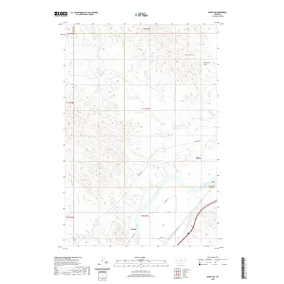 2020 Kinsey NE2020 Print · USGSThe Yellowstone River valley at the turn of the decade reveals a landscape of irrigation and historic transit routes on the Custer and Prairie County line. Researchers can trace the Shirley Main Canal and old roadbeds near Bonfield and the Devils Backbone.
Showing maps 1-25 of 104
Top cities of Prairie County
Frequently asked questions
- What are the different types of historical maps available for Prairie County?
- What is the oldest map of Prairie County?
- Where can I purchase historical maps of Prairie County for my home or office?
- Where can I download high-res historical maps of Prairie County?
- Are there historical topographic maps available for Prairie County?
- Is there historical aerial imagery available for Prairie County?
- Where are historical maps of Prairie County sourced from?