2010s Maps of Prairie County, Montana
Explore 156 historic maps of Prairie County from the 2010s. These maps offer a rare glimpse into what life looked like during the 2010s — showing old roads, neighborhoods, homes, and landmarks that have changed or disappeared over time.
Whether you're researching your family's past, planning a metal detecting trip, or studying how Prairie County's landscape evolved across the 2010s, these high-resolution maps are a powerful tool for exploring the history of this region.
- Focus on a specific era: All maps on this page are from the 2010s, giving you a focused view of this time period.
- See what’s changed: Compare century-old streets, trails, and buildings to today's modern landscape using overlays and satellite layers.
- Research with precision: Use these maps for genealogy, historical research, land use analysis, or educational projects.
- View, download, or print: Maps are fully viewable online in high resolution, and can be downloaded or printed for your own records.
Start exploring Prairie County's history through authentic maps from the 2010s. This is your window into the past.
Prairie County, MT maps
(156)- 2011 Map of McCloud, 2011 Print
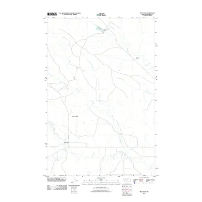 2011 McCloud2011 Print · USGSPrairie County at the start of the 2010s reveals a classic Montana landscape of isolated buttes and seasonal creek beds. Researchers can trace the local water infrastructure at Homestead Reservoir or locate the settlement of McCloud near Bowgun Butte.
 - 2011 Map of Calypso, 2011 Print
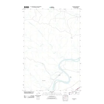 2011 Calypso2011 Print · USGSThe Yellowstone River corridor in Prairie County is captured here in the early twenty-first century, centered on the small settlement of Calypso. Local history researchers can trace the routes of the Milwaukee Rd and Old Hwy 10 as they pass by landmarks like Sheridan Butte.
 - 2011 Map of Papps Reservoir, 2011 Print
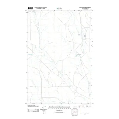 2011 Papps Reservoir2011 Print · USGSPrairie County ranch land and its vital water infrastructure are shown here in the early 2000s. Researchers can trace historical drainage patterns and land use through features like Papps Reservoir, Nefsy Number 2 Dam, and East Fork Cedar Creek.
 - 2011 Map of Flat Top Butte, 2011 Print
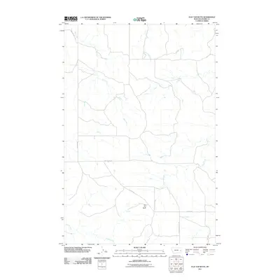 2011 Flat Top Butte2011 Print · USGSPrairie County at the start of the decade reveals a landscape where life follows the paths of Ash Creek and Dunwoodie Creek. Researchers can trace old rural routes like Ash Creek Rd and locate landmarks such as Flat Top Butte in this corner of Montana.
 - 2011 Map of McClure Reservoir, 2011 Print
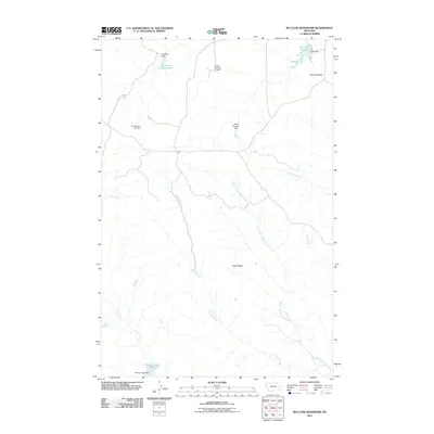 2011 McClure Reservoir2011 Print · USGSPrairie County ranchlands are defined here by a network of coulees and small dams at the start of the twenty-first century. Researchers can trace the water systems of Crooked Creek and locate landmarks like Eagle Butte, McClure Reservoir, and Silvertip Dam.
 - 2011 Map of Morehouse Creek, 2011 Print
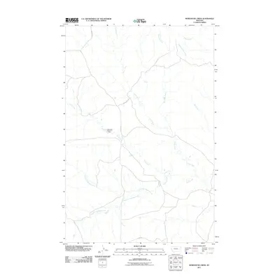 2011 Morehouse Creek2011 Print · USGSPrairie County at the start of the twenty-first century reveals a landscape shaped by ranching and essential water sources. You can trace the path of Custer Creek or locate landmarks like the T-Diamond Number 1 Dam and Reed Rd.
 - 2011 Map of Zero, 2011 Print
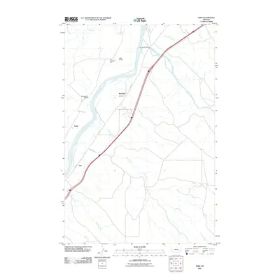 2011 Zero2011 Print · USGSThe confluence of the Yellowstone and Powder Rivers in the early 21st century reveals a landscape shaped by water and transport. Researchers can locate the small settlements of Zero, Blatchford, and Saugus while tracing old routes like Old Hwy 10.
 - 2011 Map of Little Sheep Mountain, 2011 Print
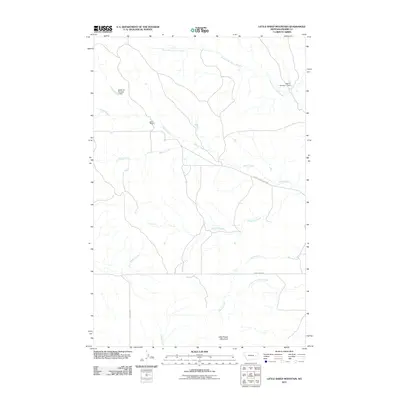 2011 Little Sheep Mountain2011 Print · USGSPrairie County ranch lands are detailed here during the early twenty-first century, showing the relationship between small-scale water management and the rugged terrain. Researchers can trace the legacy of local land use at Devlin Ranch and locate points of interest like the Keltner Number 1 Dam and Little Sheep Mountain.
 - 2011 Map of Twin Buttes School, 2011 Print
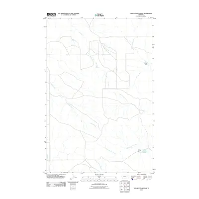 2011 Twin Buttes School2011 Print · USGSPrairie County ranch land and its vital water network are documented here in the early twenty-first century. Researchers can trace the local drainage system and early modern infrastructure through features like Hamlick Reservoir, Kountz Dam, and Crow Rock Creek.
 - 2011 Map of Fallon SW, 2011 Print
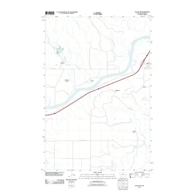 2011 Fallon SW2011 Print · USGSThe Yellowstone River corridor in Prairie County is captured here at a time when traditional water management and historic road systems still define the local landscape. Genealogists and historians can locate the Fallon Cemetery and trace early routes like Old Hwy 10 near Bluffport.
 - 2011 Map of South Fork Reservoir, 2011 Print
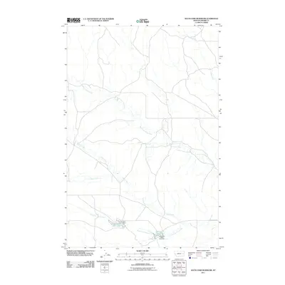 2011 South Fork Reservoir2011 Print · USGSPrairie County ranching country is mapped here in the early twenty-first century, showing the vital role of water management in the high plains. Researchers can locate essential local infrastructure like Clark Dam, the South Fork Reservoir, and Cherry Creek Rd.
 - 2011 Map of Terry, 2011 Print
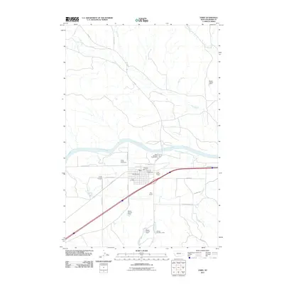 2011 Terry2011 Print · USGSThe community of Terry is shown during the early 2000s, centered within a network of prairie drainages. Genealogists and local historians can trace the town layout and its orientation to nearby water features like Cedar Creek and Cherry Creek.
 - 2011 Map of Zero NE, 2011 Print
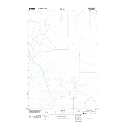 2011 Zero NE2011 Print · USGSPrairie County ranching country is documented here in the early twenty-first century, showing the remote landscape of the Yellowstone River basin. Researchers can trace the path of the Powder River and locate vital backcountry routes like Terry-Locate Rd and Mispah Rd.
 - 2011 Map of Physic Creek, 2011 Print
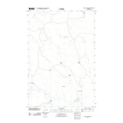 2011 Physic Creek2011 Print · USGSPrairie County at the start of the 2010s reveals a specialized landscape of water management and creek drainages. Trace the complex systems of reservoirs and named dams like Harmes Reservoir Dam, Swede Dam, and the prominent Ingersoll Butte.
 - 2011 Map of Little Whitney Creek, 2011 Print
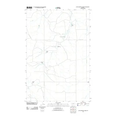 2011 Little Whitney Creek2011 Print · USGSPrairie County ranch lands are mapped here in the early twenty-first century, showing a remote landscape shaped by water management. Genealogists and historians can trace family-named water works like Lorin Dam and Payton Number 2 Dam along the course of Little Whitney Creek.
 - 2011 Map of Kinsey NE, 2011 Print
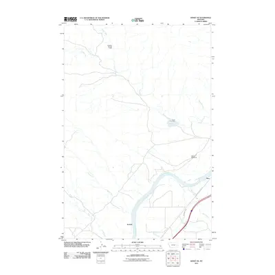 2011 Kinsey NE2011 Print · USGSCuster County is shown here in the early twenty-first century as a landscape defined by the Yellowstone River and historical western routes. Researchers can trace the path of the Lewis and Clark Trl and locate rural landmarks like Bonfield and the Devils Backbone.
 - 2011 Map of Fallon, 2011 Print
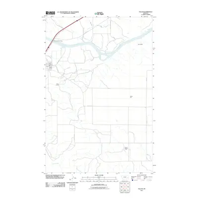 2011 Fallon2011 Print · USGSFallon and the Yellowstone River valley are captured here in the early twenty-first century, showing the crossroads of ranching life and major transport routes. Researchers can locate the Fallon Post Office, trace the banks of O'Fallon Creek, and identify landmarks like Barrs Bluffs.
 - 2011 Map of Diamond G Creek, 2011 Print
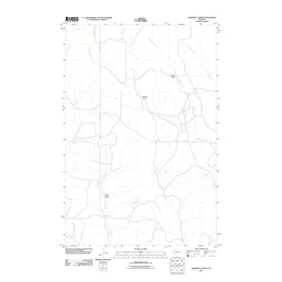 2011 Diamond G Creek2011 Print · USGSPrairie County ranchland is mapped in detail here at the start of the twenty-first century. Researchers can trace land-use patterns through water features like Nefsy Number 4 Dam and old transit routes such as Bad Route Rd.
 - 2011 Map of Flat Top Butte SW, 2011 Print
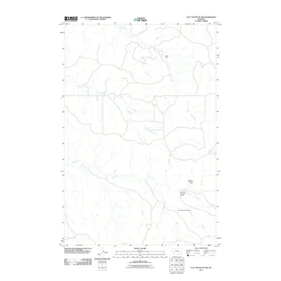 2011 Flat Top Butte SW2011 Print · USGSPrairie County ranching lands and seasonal waterways are captured here during the early twenty-first century. Researchers can trace the water infrastructure of the region through named landmarks like Olson Dam, Beardsley Number 1 Dam, and Coal Creek.
 - 2011 Map of Combs Ranch, 2011 Print
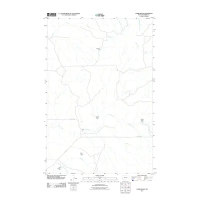 2011 Combs Ranch2011 Print · USGSPrairie County ranch lands are shown in detail during the early 21st century, revealing a landscape shaped by water management and remote homesteads. Genealogists and historians can locate family-named sites like Combs Ranch and trace vital water sources such as McMullin Dam and the Pfaff Irrigation Dam.
 - 2011 Map of Hendrickson Coulee, 2011 Print
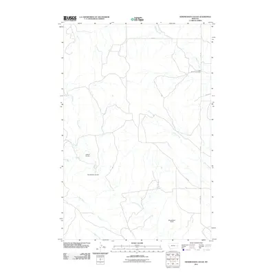 2011 Hendrickson Coulee2011 Print · USGSPrairie County ranching country is captured here during the early twenty-first century, showing the drainage of the northern plains. Researchers can trace land features like Hendrickson Coulee and Sheepshead Bluffs, or locate the Bad Route Creek Bridge.
 - 2011 Map of Spring Draw, 2011 Print
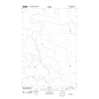 2011 Spring Draw2011 Print · USGSPrairie County ranchlands and river valleys are captured here in the early twenty-first century as the Powder River winds through the plains. Researchers can trace local water management and land use via named landmarks like Griffin Dam, Dondarlee Number 1 Dam, and Mispah Rd.
 - 2011 Map of Corral Butte, 2011 Print
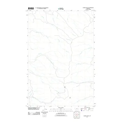 2011 Corral Butte2011 Print · USGSPrairie County, Montana, is shown here in the early twenty-first century, revealing a landscape of high buttes and seasonal creek beds. Researchers can trace the rugged topography around Corral Butte and the winding reaches of Miles Creek and E-2 Creek.
 - 2011 Map of Flat Top Butte NE, 2011 Print
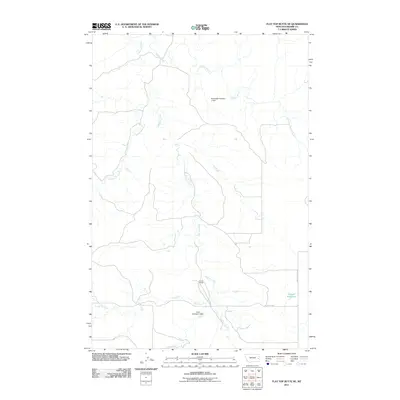 2011 Flat Top Butte NE2011 Print · USGSEastern Montana's rangeland comes into focus in this early twenty-first-century survey of Prairie County. Researchers can trace land use through water management at Airport Reservoir or locate family-named landmarks like Evertz Ranch.
 - 2011 Map of Dorothy Draw, 2011 Print
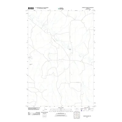 2011 Dorothy Draw2011 Print · USGSFallon County's rural plains are documented here in the early twenty-first century, showing a landscape shaped by creek beds and draws. Researchers can trace the drainage patterns of Cabin Creek and locate water landmarks like Cabin Dam and Rattlesnake Dam.
Showing maps 1-25 of 156
Top cities of Prairie County
Frequently asked questions
- What are the different types of historical maps available for Prairie County?
- What is the oldest map of Prairie County?
- Where can I purchase historical maps of Prairie County for my home or office?
- Where can I download high-res historical maps of Prairie County?
- Are there historical topographic maps available for Prairie County?
- Is there historical aerial imagery available for Prairie County?
- Where are historical maps of Prairie County sourced from?