2000s (21st Century) Maps of Keya Paha County, Nebraska
Explore 80 historic maps of Keya Paha County from the 2000s (21st Century). These maps offer a rare glimpse into what life looked like during the 2000s — showing old roads, neighborhoods, homes, and landmarks that have changed or disappeared over time.
Whether you're researching your family's past, planning a metal detecting trip, or studying how Keya Paha County's landscape evolved across the 2000s, these high-resolution maps are a powerful tool for exploring the history of this region.
- Focus on a specific era: All maps on this page are from the 2000s, giving you a focused view of this time period.
- See what’s changed: Compare century-old streets, trails, and buildings to today's modern landscape using overlays and satellite layers.
- Research with precision: Use these maps for genealogy, historical research, land use analysis, or educational projects.
- View, download, or print: Maps are fully viewable online in high resolution, and can be downloaded or printed for your own records.
Start exploring Keya Paha County's history through authentic maps from the 2000s. This is your window into the past.
Keya Paha County, NE maps
(80)- 2011 Map of Springview NW, 2011 Print
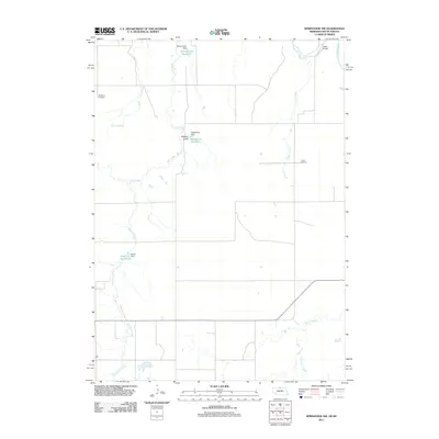 2011 Springview NW2011 Print · USGSKeya Paha County, Nebraska, is seen here in the early twenty-first century as a landscape of rural ranching and managed water. Researchers can locate family landmarks like Kenaston Cemetery and Jordan Cemetery or trace the Keya Paha River to the Dubel Bridge.
 - 2011 Map of Mariaville, 2011 Print
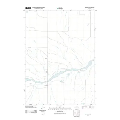 2011 Mariaville2011 Print · USGSThe Mariaville area of Rock County comes into focus in the early 21st century, centered on the Niobrara River valley. Genealogists and local researchers can trace family landmarks like the Simpson Cemetery or the site of Cook Dam and Mariaville itself.
 - 2011 Map of Bassett NW, 2011 Print
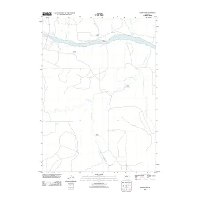 2011 Bassett NW2011 Print · USGSKeya Paha County is documented here in the early twenty-first century as a landscape of river valleys and isolated prairie cemeteries. Researchers can trace the Niobrara River crossings at McLain Bridge or locate ancestral sites like Huishizer Cemetery and the Camp Meeting Ground.
 - 2011 Map of Riverview, 2011 Print
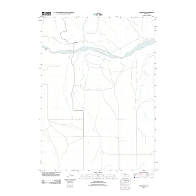 2011 Riverview2011 Print · USGSKeya Paha County's river-driven geography is clearly visible in this early 21st-century survey of the northern Nebraska plains. Genealogists and local historians can trace the small community of Riverview and land features along the Niobrara River and Kindall Island.
 - 2011 Map of Meadville NW, 2011 Print
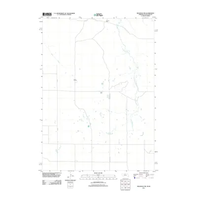 2011 Meadville NW2011 Print · USGSKeya Paha County ranchland is shown in detail during the early 21st century, highlighting the sprawling cattle operations along the Nebraska-South Dakota border. Genealogists and local historians can trace family ties at Heerten Cemetery or locate the boundaries of the Schroeder Ranch and Weston Ranch.
 - 2011 Map of Carns, 2011 Print
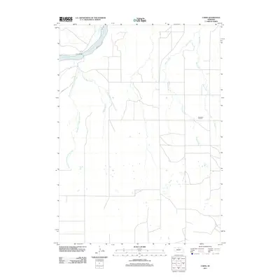 2011 Carns2011 Print · USGSKeya Paha County ranchland is captured here in the early 2010s, centered on the river crossing at the Niobrara River. Genealogists and local historians can locate the Willowdale Cemetery and trace the many branches of Laughing Water Creek.
 - 2011 Map of Burton, 2011 Print
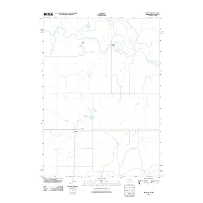 2011 Burton2011 Print · USGSKeya Paha County life is captured here in the early twenty-first century, showing the rural landscape near the South Dakota border. Genealogists and local historians can trace the community around Burton, identifying sites like the Burton Cemetery and the waters of the Keya Paha River.
 - 2011 Map of Meadville, 2011 Print
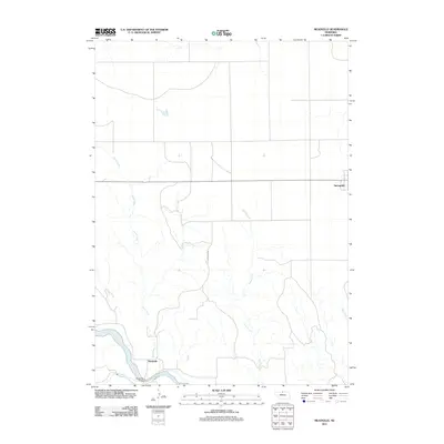 2011 Meadville2011 Print · USGSThe Niobrara River valley and the agricultural plains of Keya Paha County are captured here in the early twenty-first century. Researchers can trace the river crossings at Meadville and find the rural community of Springview near Jewett Creek.
 - 2011 Map of Dutch Creek, 2011 Print
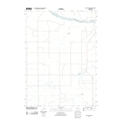 2011 Dutch Creek2011 Print · USGSThe northern Nebraska river valleys and high plains come into focus in the early 2010s. Researchers can trace the hydrology of the Niobrara River and its tributaries, or locate recreation spots like Keller Park Ponds and Devils Gulch.
 - 2011 Map of Meadville NE, 2011 Print
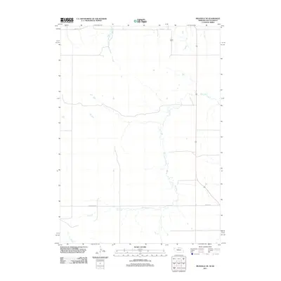 2011 Meadville NE2011 Print · USGSKeya Paha County's ranching frontier is captured here in the early twenty-first century, documenting a remote borderland landscape. Researchers can trace land use at Gierau Ranch and follow the paths of Holt Creek and Highway 183.
 - 2011 Map of Jamison, 2011 Print
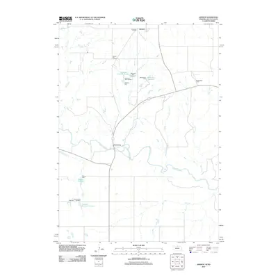 2011 Jamison2011 Print · USGSThe Nebraska-South Dakota borderlands appear in great detail at the start of the 2010s, centered on the Keya Paha River corridor. Researchers can trace local lineage at Emmanuel Cemetery or explore the network of small-scale water works like Richardson Reservoir and Hitchcock Dam.
 - 2011 Map of Springview SE, 2011 Print
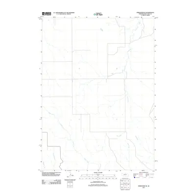 2011 Springview SE2011 Print · USGSKeya Paha County's high plains are defined by their winding watercourses in the early twenty-first century. Researchers can trace the drainage patterns of Spring Creek, Rock Creek, and Wyman Creek across this rural landscape.
 - 2011 Map of Jamison SW, 2011 Print
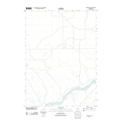 2011 Jamison SW2011 Print · USGSKeya Paha County near the South Dakota border appears here in the early twenty-first century as the winding Niobrara River defines the southern landscape. Researchers can trace the drainage of Anne Creek or locate the settlement at Dyer and the secluded Big Anne Spring.
 - 2011 Map of Huddle Table, 2011 Print
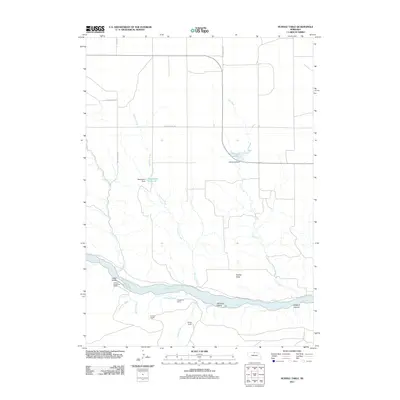 2011 Huddle Table2011 Print · USGSKeya Paha County ranching and river geography are documented here just after the turn of the millennium. Local researchers can trace family-named lands like the Kirkpatrick Ranch and Hurlbut Ranch or locate geographic landmarks such as Huddle Table and Buzzard Canyon.
 - 2011 Map of Mills, 2011 Print
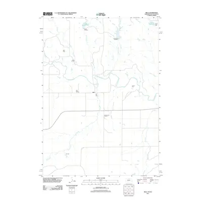 2011 Mills2011 Print · USGSKeya Paha County ranching country comes into focus in this modern survey of the Nebraska-South Dakota borderlands. Genealogists and historians can trace local foundations at the Olive Branch Cemetery or locate the historic Mills Post Office near the Keya Paha River.
 - 2011 Map of Springview, 2011 Print
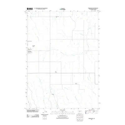 2011 Springview2011 Print · USGSSpringview and its surrounding High Plains rangeland are captured here in the early twenty-first century. Genealogists and local historians can locate community landmarks like Mount Hope Cemetery, the Keya Paha County Fair Grounds, and Sugarloaf Hill.
 - 2011 Map of Norden NW, 2011 Print
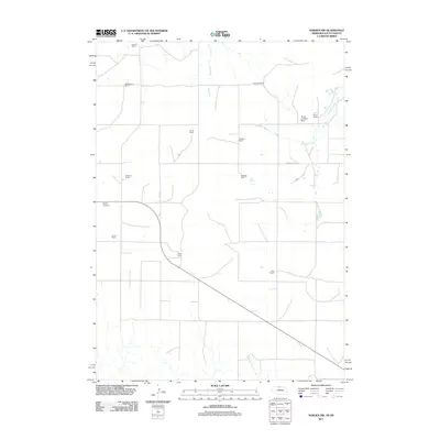 2011 Norden NW2011 Print · USGSThe ranchlands of the Nebraska-South Dakota border are captured here in the early 21st century, showing a landscape defined by expansive family estates. Genealogists and local historians can trace the boundaries of the Foster Ranch, locate the Sparks Cemetery, and follow the path of Shadley Creek.
 - 2011 Map of Norden, 2011 Print
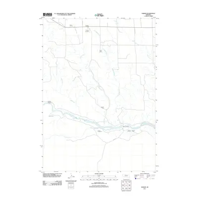 2011 Norden2011 Print · USGSKeya Paha County ranchlands meet the winding Niobrara River in the early twenty-first century. Genealogists and local historians can trace family roots at Norden Cemetery, locate School Number 31, or study river features like Kuhres Rapid and Norden Bridge.
 - 2011 Map of Hayford Lake, 2011 Print
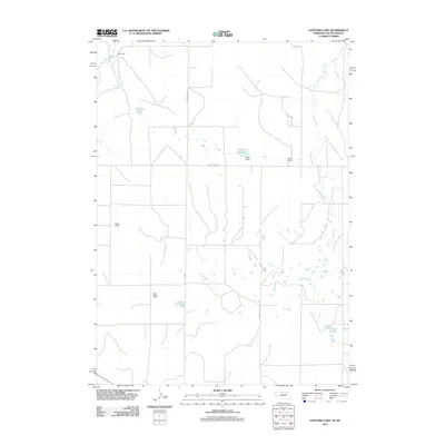 2011 Hayford Lake2011 Print · USGSKeya Paha County ranching country is captured here in the early twenty-first century, showcasing a vast landscape of prairie drainages and family-held land. Genealogists and historians can locate established holdings like Worth Ranch and Keogh Ranch alongside Hayford Lake.
 - 2011 Map of Muleshoe Creek, 2011 Print
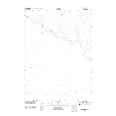 2011 Muleshoe Creek2011 Print · USGSKeya Paha County ranchlands meet the braided channels of the Niobrara River in this modern topographical study. Researchers can trace the river's course through Fritzs Island and Egelhoffs Rapid, or locate established sites like McKee Ranch.
 - 2014 Map of Jamison, 2014 Print
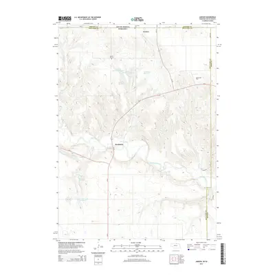 2014 Jamison2014 Print · USGSThis rural borderland between Nebraska and South Dakota is captured in the early twenty-first century, centered on the Keya Paha River valley. Local historians can trace family ties at Emmanuel Cem or locate old community hubs like Brocksburg and Jamison.
 - 2014 Map of Springview NW, 2014 Print
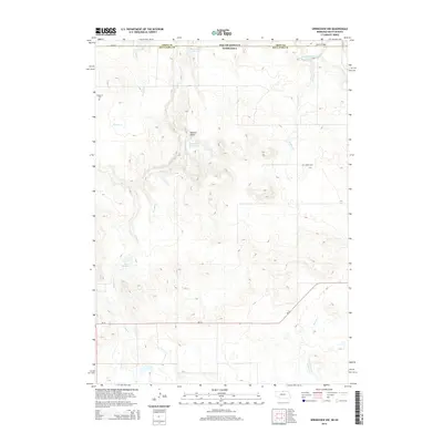 2014 Springview NW2014 Print · USGSThe Nebraska-South Dakota borderlands in the early twenty-first century are defined by the winding Keya Paha River and its rugged tributary draws. Genealogists and local historians can trace legacy sites like Kenaston Cem, Jordan Cem, and the crossing at Dubel Bridge.
 - 2014 Map of Springview SE, 2014 Print
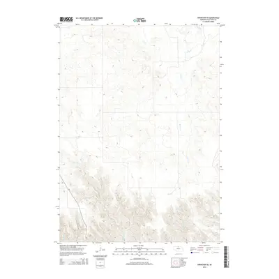 2014 Springview SE2014 Print · USGSKeya Paha County remains a territory of winding creek beds and open prairie in this recent survey. Researchers can trace the courses of Spring Creek and Wyman Creek or follow the path of Nebraska Highway 7 through the hills.
 - 2014 Map of Mariaville, 2014 Print
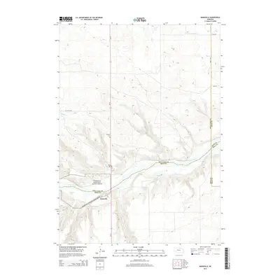 2014 Mariaville2014 Print · USGSThe Niobrara riverfront and the rural community of Mariaville are documented here in the early 21st century. Researchers can locate the Simpson Cem and trace the many drainages like Oak Cr and Simpson Cr that define this prairie landscape.
 - 2014 Map of Meadville, 2014 Print
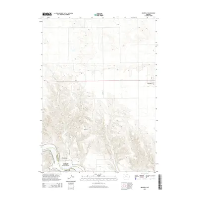 2014 Meadville2014 Print · USGSKeya Paha and Brown counties meet along the river canyon in this modern survey of north-central Nebraska. Trace the descent from Springview down to the historic river crossing at Meadville, including the Meadville Bridge and the Niobrara National Scenic River.
Showing maps 1-25 of 80
Top cities of Keya Paha County
Frequently asked questions
- What are the different types of historical maps available for Keya Paha County?
- What is the oldest map of Keya Paha County?
- Where can I purchase historical maps of Keya Paha County for my home or office?
- Where can I download high-res historical maps of Keya Paha County?
- Are there historical topographic maps available for Keya Paha County?
- Is there historical aerial imagery available for Keya Paha County?
- Where are historical maps of Keya Paha County sourced from?