2000-2009 Maps of Lincoln County, New Mexico
Explore 25 historic maps of Lincoln County from 2000-2009. These maps offer a rare glimpse into what life looked like during the 2000s — showing old roads, neighborhoods, homes, and landmarks that have changed or disappeared over time.
Whether you're researching your family's past, planning a metal detecting trip, or studying how Lincoln County's landscape evolved across the 2000s, these high-resolution maps are a powerful tool for exploring the history of this region.
- Focus on a specific era: All maps on this page are from the 2000s, giving you a focused view of this time period.
- See what’s changed: Compare century-old streets, trails, and buildings to today's modern landscape using overlays and satellite layers.
- Research with precision: Use these maps for genealogy, historical research, land use analysis, or educational projects.
- View, download, or print: Maps are fully viewable online in high resolution, and can be downloaded or printed for your own records.
Start exploring Lincoln County's history through authentic maps from the 2000s. This is your window into the past.
Lincoln County, NM maps
(25)- 2004 Map of Ruidoso Downs, 2006 Print
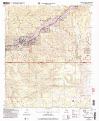 2004 Ruidoso Downs2006 Print · USGSRuidoso Downs and the Sierra Blanca foothills are captured in the early 2000s, showing the town's development near the tribal boundary. Local researchers can trace family roots at Stetson Cem or locate landmarks like the Ruidoso Downs Race Track.
 - 2004 Map of Ruidoso, 2006 Print
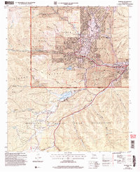 2004 Ruidoso2006 Print · USGSThe mountain town of Ruidoso and its surrounding canyons are captured here during a period of sustained growth in the early 2000s. Genealogists and local historians can trace the development of Hollywood and Ruidoso Downs or locate the Forest Lawn Cem and the Inn of the Mountain Gods.
 - 2004 Map of Nogal, 2006 Print
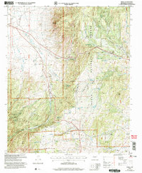 2004 Nogal2006 Print · USGSThe ranching and forest lands of Lincoln County are captured here in the early 2000s, centered on the community of Nogal. Genealogists and local historians can locate family-named landmarks like Peralta Ranch and Ferguson Ranch alongside the Nogal Cem.
 - 2004 Map of Church Mountain, 2006 Print
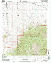 2004 Church Mountain2006 Print · USGSThe Sierra Blanca peaks and high desert ranch lands of Lincoln County are captured in this mid-2000s survey. Researchers can trace land use from the Diamond Peak Ranch to remote water sources like Tortolita Spring and Harkey Windmill.
 - 2004 Map of Capitan Peak, 2006 Print
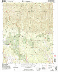 2004 Capitan Peak2006 Print · USGSThe high ridges of the Capitan Mountains are captured here in the early 2000s, showing a landscape defined by protected wilderness and working ranchland. Researchers can trace historic access routes like the Peppin Trail and locate remote water sources such as Raton Spring or the McDaniel Ranch.
 - 2004 Map of Fort Stanton, 2006 Print
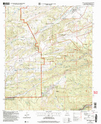 2004 Fort Stanton2006 Print · USGSLincoln County at the start of the millennium shows a landscape defined by frontier history and high-altitude ranching. Genealogists and historians can locate Fort Stanton and its Cem, the Four K Ranch, and the San Ysidro Ch near Ruidoso.
 - 2004 Map of Arabela, 2006 Print
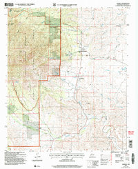 2004 Arabela2006 Print · USGSArabela and the eastern foothills of the Capitan Mountains are shown here as they appeared in the early 2000s. Genealogists and researchers can trace local landmarks like Las Patas Cem, Whitaker Ranch, and the Escondido Ditch irrigation system.
 - 2004 Map of Lincoln, 2006 Print
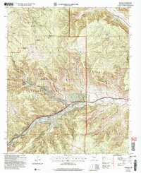 2004 Lincoln2006 Print · USGSLincoln and the surrounding canyon lands appear here in the early twenty-first century as a mix of national forest and historic ranching terrain. Genealogists and local historians can trace the sites of the Glencoe Cem, St Annes Chapel, and the Buckhorn Ranch.
 - 2004 Map of Ancho, 2006 Print
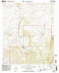 2004 Ancho2006 Print · USGSIn the high-desert country of Lincoln County during the early 2000s, ranching and mining define the local landscape. Genealogists and researchers can trace family land at Miller Ranch or Wilson Ranch, and locate industrial sites like the Jicarilla Mine near the Ancho Cem.
 - 2004 Map of Angus, 2006 Print
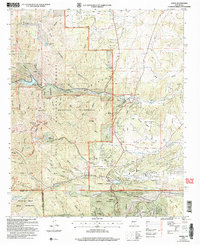 2004 Angus2006 Print · USGSLincoln County in the early 2000s showcases a landscape where alpine wilderness meets growing mountain communities. Researchers can trace the development of Sun Valley and Alpine Village alongside landmark sites like Villa Madonna and the high peaks of the White Mountain Wilderness.
 - 2004 Map of San Patricio, 2006 Print
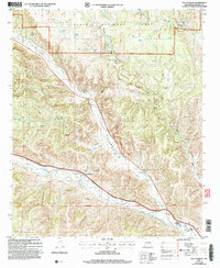 2004 San Patricio2006 Print · USGSLincoln County’s river valleys and forest lands are captured in this mid-2000s survey of the mountain west. Researchers can trace the legacy of local ranching and settlement through sites like the Fritz Cemetery, Hondo Valley School, and the junction of Rio Bonito and Rio Ruidoso.
 - 2004 Map of Arroyo Serrano West, 2006 Print
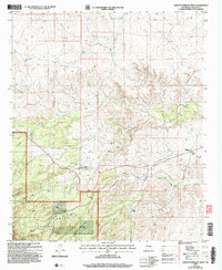 2004 Arroyo Serrano West2006 Print · USGSLincoln County’s high-desert ranching culture is well preserved in this turn-of-the-century survey. Researchers can locate family landmarks like Armstrong Ranch and Purcella Ranch or trace the rural footprint of the Plainview School.
 - 2004 Map of Godfrey Peak, 2006 Print
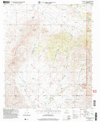 2004 Godfrey Peak2006 Print · USGSSouthern New Mexico ranching and wilderness come into focus in the mid-2000s at the intersection of tribal and national forest lands. Local historians can trace family ranching footprints at I-X Ranch, Bataan Lodge, and Three Rivers Ranch.
 - 2004 Map of Sheeppen Canyon, 2006 Print
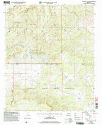 2004 Sheeppen Canyon2006 Print · USGSHigh desert canyons and cattle camps define this New Mexico landscape at the turn of the millennium. Genealogists and historians can trace traditional land use through family-named landmarks like Minters Corral and isolated outposts such as Cow Camp No 5.
 - 2004 Map of Capitan, 2006 Print
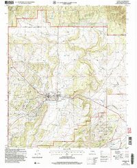 2004 Capitan2006 Print · USGSCapitan and its surrounding ranchlands are shown at the start of the millennium, just as the local landscape began its modern shift. Genealogists and historians can trace family ranch boundaries like Robinson Ranch and explore landmarks like Smokey Bear Historical Park and Fort Stanton.
 - 2004 Map of Jicarilla Peak, 2006 Print
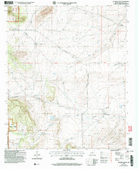 2004 Jicarilla Peak2006 Print · USGSLincoln County rangeland and forest are captured here at the start of the millennium as ranching traditions persisted in the high desert. Genealogists and local historians can trace the remote Patos Cem and historic homesteads like the Davis Ranch and Eldridge Ranch.
 - 2004 Map of Nogal Peak, 2006 Print
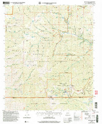 2004 Nogal Peak2006 Print · USGSLincoln National Forest at the start of the twenty-first century reveals a high-altitude landscape of mining history and modern recreation. Researchers can trace the heritage of Parsons Mine, the slopes of Sierra Blanca Ski Area, and the wild reaches of the White Mountain Wilderness.
 - 2004 Map of Capitan Pass, 2006 Print
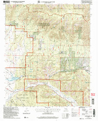 2004 Capitan Pass2006 Print · USGSThis Lincoln County high country at the turn of the 21st century showcases the intersection of federal wilderness and historic ranching. You can trace the rugged topography from Capitan Pass down to family-named sites like Padilla Ranch and the Griego Cem.
 - 2004 Map of Jacob Spring, 2006 Print
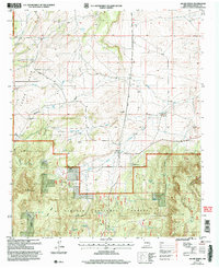 2004 Jacob Spring2006 Print · USGSLincoln National Forest ranching and mountain terrain are captured here in the early 2000s, showing the intersection of forest land and open range. Researchers can locate specific legacy holdings like Lacey Ranch and Waddell Ranch or trace water sources from Jacob Spring to the Iron Mine Tank.
 - 2004 Map of White Oaks South, 2006 Print
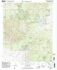 2004 White Oaks South2006 Print · USGSLincoln County mining and ranching traditions are preserved here at the start of the twenty-first century. Genealogists and historians can trace the heritage of White Oaks through the Old Abe Mines and the Cedarvale Cem, or explore the cattle-ranching layout at Robinson Ranch.
 - 2004 Map of Lone Mountain, 2006 Print
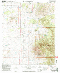 2004 Lone Mountain2006 Print · USGSLincoln County ranch lands and forest borders are captured here in the early 2000s. Researchers can trace the water-dependent infrastructure of the high desert, from the Dunning Ranch to remote landmarks like Collier Spring and Lone Mountain.
 - 2004 Map of Kyle Harrison Canyon, 2006 Print
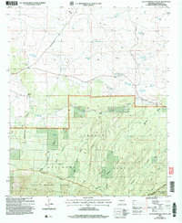 2004 Kyle Harrison Canyon2006 Print · USGSLincoln National Forest in the early 2000s shows a landscape of deep canyons and isolated mountain springs. Genealogists and historians can trace local landmarks like the Richardson School, Kyle Harrison Spring, and Millset Spring.
 - 2004 Map of Chupadero Mountain, 2006 Print
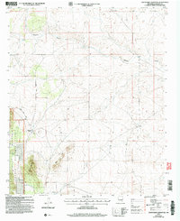 2004 Chupadero Mountain2006 Print · USGSLincoln County ranching and forest lands are captured here at the start of the millennium. Researchers can trace family history at the Carrabajal Cem or locate remote landmarks like the Gnatkowski Ranch, Soda Windmill, and Hasperos Camp.
 - 2004 Map of White Oaks North, 2006 Print
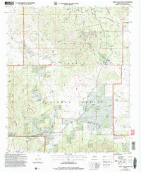 2004 White Oaks North2006 Print · USGSThe Jicarilla Mountains and Lincoln National Forest are captured here during the early twenty-first century, showcasing a landscape defined by mining and ranching. Researchers can locate the Jicarilla Sch, Reventon Cem, and family outposts like Snow Ranch.
 - 2004 Map of Encinoso, 2006 Print
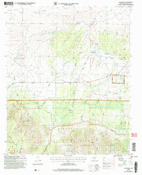 2004 Encinoso2006 Print · USGSLincoln County ranching and forest lands are revealed in this early twenty-first-century survey as the high desert meets the northern slopes. Genealogists and researchers can trace family-named landmarks like Edgar Ranch, Block Ranch, and the mountain community of Encinoso.
End of results
Showing maps 1-25 of 25
Top cities of Lincoln County
- Ruidoso historical maps
- Alto historical maps
- Ruidoso Downs historical maps
- Capitan historical maps
- Carrizozo historical maps
- Corona historical maps
Frequently asked questions
- What are the different types of historical maps available for Lincoln County?
- What is the oldest map of Lincoln County?
- Where can I purchase historical maps of Lincoln County for my home or office?
- Where can I download high-res historical maps of Lincoln County?
- Are there historical topographic maps available for Lincoln County?
- Is there historical aerial imagery available for Lincoln County?
- Where are historical maps of Lincoln County sourced from?