2020s Maps of Lincoln County, New Mexico
Explore 186 historic maps of Lincoln County from the 2020s. These maps offer a rare glimpse into what life looked like during the 2020s — showing old roads, neighborhoods, homes, and landmarks that have changed or disappeared over time.
Whether you're researching your family's past, planning a metal detecting trip, or studying how Lincoln County's landscape evolved across the 2020s, these high-resolution maps are a powerful tool for exploring the history of this region.
- Focus on a specific era: All maps on this page are from the 2020s, giving you a focused view of this time period.
- See what’s changed: Compare century-old streets, trails, and buildings to today's modern landscape using overlays and satellite layers.
- Research with precision: Use these maps for genealogy, historical research, land use analysis, or educational projects.
- View, download, or print: Maps are fully viewable online in high resolution, and can be downloaded or printed for your own records.
Start exploring Lincoln County's history through authentic maps from the 2020s. This is your window into the past.
Lincoln County, NM maps
(186)- 2020 Map of Ramon SW, 2020 Print
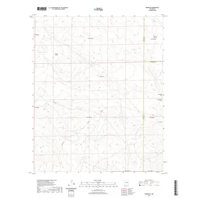 2020 Ramon SW2020 Print · USGSThe Chaves County borderlands come into focus in the early twenty-first century, showing a landscape defined by water management and natural landmarks. Trace the local ranching infrastructure through water sources like Railroad Tank and the geologic Natural Bridge.
 - 2020 Map of Loco Draw, 2020 Print
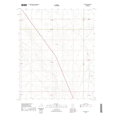 2020 Loco Draw2020 Print · USGSThe ranching country of eastern New Mexico is mapped here at the intersection of Lincoln and Guadalupe counties. Genealogists and historians can trace essential water sources like Fain Tank and Barrel Lake alongside routes like Loma Vista Rd.
 - 2020 Map of Ramon, 2020 Print
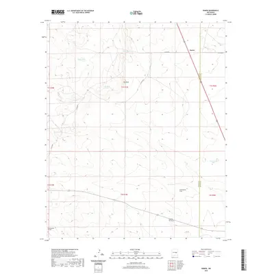 2020 Ramon2020 Print · USGSRamon and its surrounding rangelands are documented here in recent years, showing the intersection of Lincoln and De Baca counties. Researchers can trace land use through cattle-rearing landmarks like Schoolhouse Tank, Automobile Lake, and Dipping Vat Draw.
 - 2020 Map of Flying H NE, 2020 Print
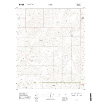 2020 Flying H NE2020 Print · USGSChaves County's high desert landscape is captured here in the early twenty-first century, showing the complex drainage systems of the New Mexico interior. Trace the deep cuts of Pine Tree Canyon and Monument Canyon or locate the prominent Border Hill.
 - 2020 Map of Arabela, 2020 Print
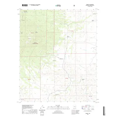 2020 Arabela2020 Print · USGSArabela and the eastern foothills of the Capitan Mountains are captured here in the early twenty-first century. Local history researchers can locate family landmarks like the Las Palas Cem or trace seasonal water sources such as Las Palas Spring and Bluewater Spring.
 - 2020 Map of Fort Stanton, 2020 Print
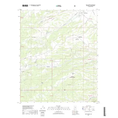 2020 Fort Stanton2020 Print · USGSThe high mountain desert near Ruidoso is captured here as it appeared in 2020, balancing historical sites with modern growth. Researchers can trace the legacy of Fort Stanton and the Buffalo Soldier Trail alongside features like Fort Stanton Mesa.
 - 2020 Map of Capitan Peak, 2020 Print
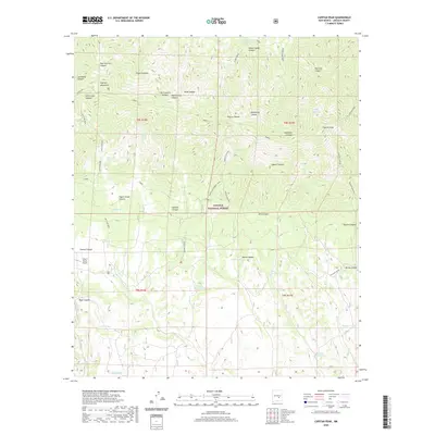 2020 Capitan Peak2020 Print · USGSIn the southern mountains of New Mexico during the early twenty-first century, this area shows a high-desert landscape of ranching and national forest lands. Researchers can locate remote water sources like Seven Cabins Spring and the G Bar F Ranch Airport.
 - 2020 Map of Jacob Spring, 2020 Print
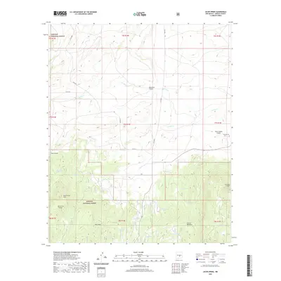 2020 Jacob Spring2020 Print · USGSLincoln County ranching and forest lands are detailed here during the late twenty-teens, showing the northern face of the Capitan Mountains. Genealogists and researchers can locate the Encinoso Cem and trace livestock history through names like Ten Dollar Tank and Jacob Spring.
 - 2020 Map of Capitan Pass, 2020 Print
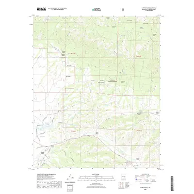 2020 Capitan Pass2020 Print · USGSLincoln County in the early twenty-first century is characterized by the rugged timberlands of the Lincoln National Forest and a complex network of high-desert water tanks. Researchers can trace historical routes and local landmarks like the Zamora Trail, the G Bar F Ranch Airport, and Griego Cem.
 - 2020 Map of Nelson Canyon West, 2020 Print
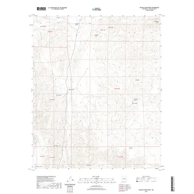 2020 Nelson Canyon West2020 Print · USGSLincoln County’s arid canyon lands are documented here in the early twenty-first century, showing the remote drainages east of the Capitan Mountains. Researchers can locate the historic Escondido Cem and trace seasonal waterways like Baca Spring Cr and Escondido Cr.
 - 2020 Map of Sheeppen Canyon, 2020 Print
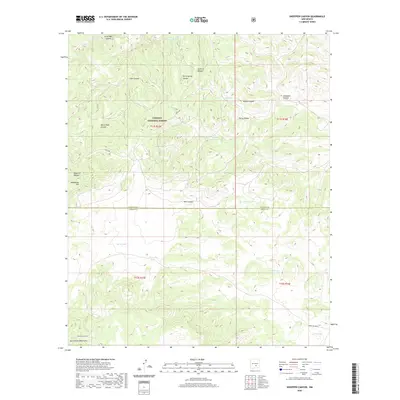 2020 Sheeppen Canyon2020 Print · USGSHigh in the Sacramento Mountains during the early twenty-first century, this forest survey tracks the complex water and trail systems of the Lincoln National Forest. Researchers can locate specialized catchments like Prairie Dog Tank and trace the paths of Indian Svc Rte 66 through Sheeppen Canyon.
 - 2020 Map of Kyle Harrison Canyon, 2020 Print
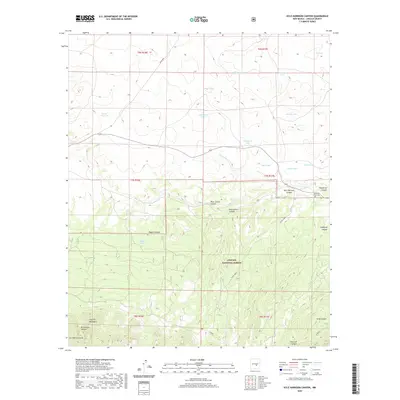 2020 Kyle Harrison Canyon2020 Print · USGSLincoln County’s high-desert landscape is captured here in the contemporary era, showing the transition from the forested peaks to the canyon-cut lowlands. Researchers can locate the Pleasant View Cem and trace livestock-era landmarks like Seven Cabins and Kyle Harrison Spring.
 - 2020 Map of Ancho, 2020 Print
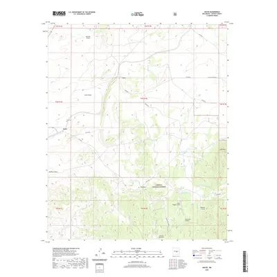 2020 Ancho2020 Print · USGSThe high valley and mountain terrain of Lincoln County come into focus in this recent survey. Genealogists and local historians can locate the Ancho Cem near the town of Ancho or trace the winding roads through Ancho Valley to Luna.
 - 2020 Map of North Lake, 2020 Print
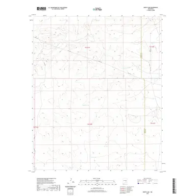 2020 North Lake2020 Print · USGSThe high desert plains at the Chaves and Lincoln county line are captured here in the early twenty-first century. Researchers can trace the drainage of Arroyo del Macho and locate essential ranching landmarks such as Percella Tank and North Lake.
 - 2020 Map of Skunk Canyon, 2020 Print
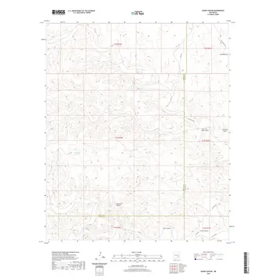 2020 Skunk Canyon2020 Print · USGSThe high plains of Chaves County are shown here in the early 21st century, where the county line meets a landscape carved by canyons. Researchers can trace remote routes like Salt Lake Rd and locate landmarks such as Pond Lake and Monument Canyon.
 - 2020 Map of White Flat, 2020 Print
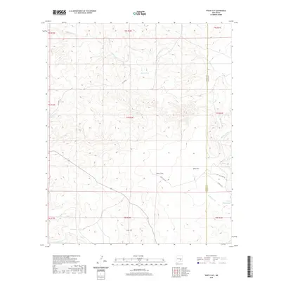 2020 White Flat2020 Print · USGSThe high desert border between Lincoln and Chaves counties is captured here in the contemporary era. Researchers can trace the network of vital water tanks like Big Joe Tank and Gavilan Tank alongside dry-wash features like Walnut Draw.
 - 2020 Map of San Patricio, 2020 Print
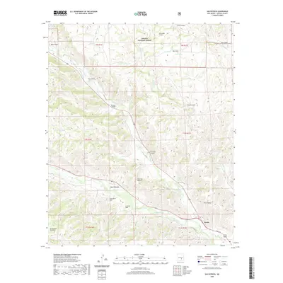 2020 San Patricio2020 Print · USGSThe Hondo Valley comes to life in this survey of the river confluence in Lincoln County. Researchers can trace the legacy of early ranching families through Fritz Cem, the San Patricio settlement, and numerous named water sources like Peter Hurd Spring.
 - 2020 Map of Wahalee Canyon, 2020 Print
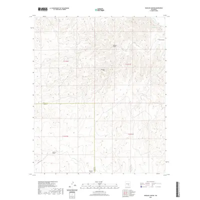 2020 Wahalee Canyon2020 Print · USGSThe high canyons of the Otero and Lincoln County border are documented here in the early twenty-first century. Researchers can trace the rugged drainage patterns of Wahalee Canyon, Half Moon Valley, and the course of Rio Hondo.
 - 2020 Map of Church Mountain, 2020 Print
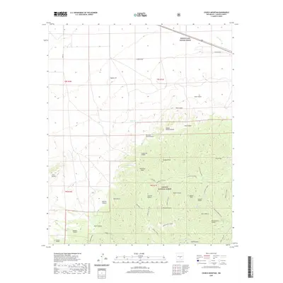 2020 Church Mountain2020 Print · USGSLincoln County’s high forest country is captured here in the modern era, showing the intersection of managed lands and rugged peaks. Researchers can locate family-named landmarks and water sources like Hughes Hill, Hatfield Spring, and the Bonito Lake System Annex.
 - 2020 Map of Horseshoe Bend NW, 2020 Print
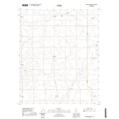 2020 Horseshoe Bend NW2020 Print · USGSChaves County in 2020 reveals a landscape defined by seasonal watercourses and the high desert terrain of the Pecos Valley region. Researchers can trace the winding paths of Blackwater Draw and Deadman Canyon near the local landmark of Border Hill.
 - 2020 Map of Capitan, 2020 Print
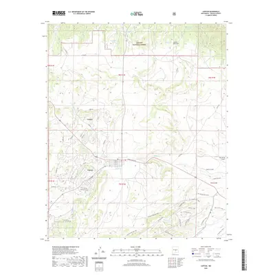 2020 Capitan2020 Print · USGSThe village of Capitan and its mountain backdrop appear in this recent survey of central Lincoln County. Trace local landmarks like Smokey Bear Blvd, the settlement of Coalora, and numerous historic routes including the Kit Carson Loop Trail.
 - 2020 Map of Pedernal Arroyo, 2020 Print
 2020 Pedernal Arroyo2020 Print · USGSLincoln County ranching country is documented here in the early twenty-first century, showing a landscape shaped by seasonal water. Researchers can trace the winding paths of Pedernal Arroyo and Arroyo del Macho alongside rural routes like CO RD 8008.
 - 2020 Map of Deadman Lake, 2020 Print
 2020 Deadman Lake2020 Print · USGSThe high-desert terrain of Chaves and Lincoln Counties is shown here in the 2020s, highlighting a landscape of ephemeral lakes and named canyons. Trace ranching history and local geography through features like Big Flying H Lake, Deadman Canyon, and Spur Tank.
 - 2020 Map of Tinnie, 2020 Print
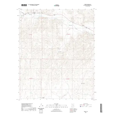 2020 Tinnie2020 Print · USGSLincoln County’s Rio Hondo valley comes into sharp focus here during the early twenty-first century, showing the small communities and complex canyon systems. Researchers can trace the river's path past Tinnie and Picacho, locating landmarks like the Rio Hondo Bridge and remote water sources like Lost Lake.
 - 2020 Map of Sunset, 2020 Print
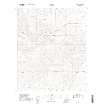 2020 Sunset2020 Print · USGSThe Lincoln County valley of the Rio Hondo is captured here in 2020, showing the persistent rural character of this region. Genealogists and local historians can trace the geography of small settlements like Sunset and Riverside or the canyon paths of Border Canyon.
Showing maps 1-25 of 186
Top cities of Lincoln County
- Ruidoso historical maps
- Alto historical maps
- Ruidoso Downs historical maps
- Capitan historical maps
- Carrizozo historical maps
- Corona historical maps
Frequently asked questions
- What are the different types of historical maps available for Lincoln County?
- What is the oldest map of Lincoln County?
- Where can I purchase historical maps of Lincoln County for my home or office?
- Where can I download high-res historical maps of Lincoln County?
- Are there historical topographic maps available for Lincoln County?
- Is there historical aerial imagery available for Lincoln County?
- Where are historical maps of Lincoln County sourced from?