2010s Maps of Lincoln County, New Mexico
Explore 279 historic maps of Lincoln County from the 2010s. These maps offer a rare glimpse into what life looked like during the 2010s — showing old roads, neighborhoods, homes, and landmarks that have changed or disappeared over time.
Whether you're researching your family's past, planning a metal detecting trip, or studying how Lincoln County's landscape evolved across the 2010s, these high-resolution maps are a powerful tool for exploring the history of this region.
- Focus on a specific era: All maps on this page are from the 2010s, giving you a focused view of this time period.
- See what’s changed: Compare century-old streets, trails, and buildings to today's modern landscape using overlays and satellite layers.
- Research with precision: Use these maps for genealogy, historical research, land use analysis, or educational projects.
- View, download, or print: Maps are fully viewable online in high resolution, and can be downloaded or printed for your own records.
Start exploring Lincoln County's history through authentic maps from the 2010s. This is your window into the past.
Lincoln County, NM maps
(279)- 2010 Map of Chivata Canyon, 2010 Print
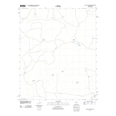 2010 Chivata Canyon2010 Print · USGSChaves County ranching life is documented here in the early twenty-first century, showing a landscape defined by water management and isolated homesteads. Researchers can trace the infrastructure of the Circle F Ranch and locate remote landmarks like North Windmill and Treasure Canyon.
 - 2010 Map of White Flat, 2010 Print
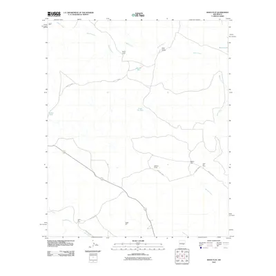 2010 White Flat2010 Print · USGSChaves County's ranching landscape is captured here in the early 2000s, showcasing the isolated outposts of the high plains. Genealogists and local historians can trace the footprints of established cattle operations like Middle Arroyo Ranch and White Flat Ranch.
 - 2010 Map of Elsie Canyon, 2010 Print
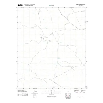 2010 Elsie Canyon2010 Print · USGSChaves County ranching lands are captured here during the first decade of the 2000s, showcasing the isolated outposts of the New Mexico desert. Researchers can trace the holdings at Salt Creek Ranch and Porter Ranch or locate water sources like Antelope Lake.
 - 2010 Map of North Lake, 2010 Print
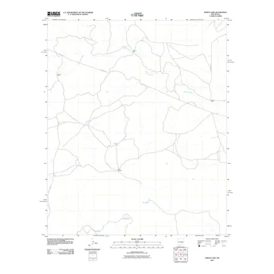 2010 North Lake2010 Print · USGSChaves County's high desert ranching country is documented here in the early 21st century. Researchers and genealogists can trace the infrastructure of historic landholdings such as McNally Ranch and Johnson Ranch or locate water features like Lafferty Well.
 - 2010 Map of Horseshoe Bend, 2010 Print
 2010 Horseshoe Bend2010 Print · USGSChaves County ranching and farming operations are documented here in the early twenty-first century, centered on the winding Rio Hondo. Genealogists and historians can locate family-named sites like Nuñez Ranch and Bar H Farm or trace the route of Baton Rouge Rd.
 - 2010 Map of Claunch, 2010 Print
 2010 Claunch2010 Print · USGSThe community of Claunch and its surrounding ranchlands are shown here in the first decade of the 2000s. Researchers and family historians can trace the local road network and seasonal watercourses like Polecat Draw or locate the Dean Ranch near the center of the sheet.
 - 2010 Map of Claunch SE, 2010 Print
 2010 Claunch SE2010 Print · USGSLincoln County’s high desert landscape appears in this 2010 survey as a network of deep canyons and isolated outposts. Researchers can trace the rugged paths of Pinatosa Canyon and Largo Canyon or locate the remote Sloan Wells Camp.
 - 2010 Map of Gallo Spring Canyon, 2010 Print
 2010 Gallo Spring Canyon2010 Print · USGSLincoln County’s arid canyon lands are captured here in the early twenty-first century, showing a landscape shaped by drainage and ranching. Researchers can trace the roads near Raney and Ryberg Ranch or follow the paths of Gallo Spring Canyon and Hodge Canyon.
 - 2010 Map of Red Bluff Draw West, 2010 Print
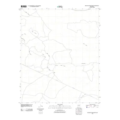 2010 Red Bluff Draw West2010 Print · USGSLincoln County ranchlands are documented here in the early twenty-first century, showing a landscape defined by deep canyons and isolated homesteads. Researchers can locate the Baker Place and Walker Ranch or trace the path of Red Bluff Draw.
 - 2010 Map of Corona South, 2010 Print
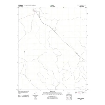 2010 Corona South2010 Print · USGSThe village of Corona and the surrounding high-desert canyons are documented here in the early 21st century. Local historians can trace the rugged drainage systems of Gallo Canyon and Bonita Canyon alongside rural corridors like County Rd-A033.
 - 2010 Map of Pelon Hill, 2010 Print
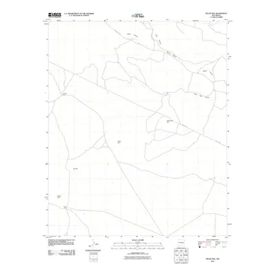 2010 Pelon Hill2010 Print · USGSLincoln County rangeland is captured here in the first decade of the millennium, showing a landscape defined by high peaks and deep drainage cuts. Researchers can locate the Lovelace Ranch and trace the paths of Bonita Canyon and Pipeline Rd.
 - 2010 Map of Gacho Hill SW, 2010 Print
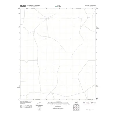 2010 Gacho Hill SW2010 Print · USGSLincoln County ranching country is documented here during the early twenty-first century, showing the quiet character of the New Mexico plains. Researchers can locate Burgette Ranch and follow the route of County Rd-3ka across this rural landscape.
 - 2010 Map of Polecat Draw, 2010 Print
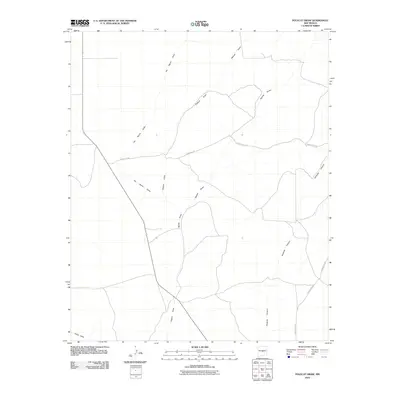 2010 Polecat Draw2010 Print · USGSLincoln County, New Mexico, is shown during the first decade of the new millennium as a region shaped by desert drainages and remote county roads. Researchers can trace the path of Pinatosa Canyon and identify old routes like County Rd-213 and County Rd-A020.
 - 2010 Map of Cowboy Mesa NW, 2010 Print
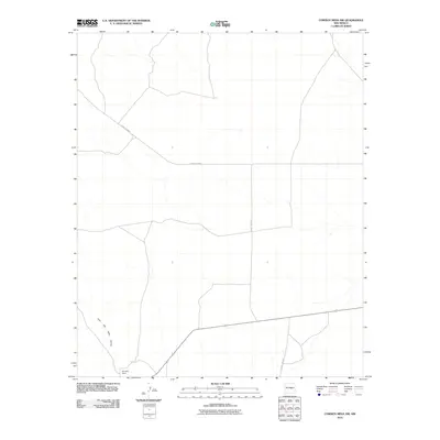 2010 Cowboy Mesa NW2010 Print · USGSLincoln County ranching country is mapped here in the early twenty-first century, showing the quiet landscape of the New Mexico mesa. Researchers can trace rural routes like County Rd-B041 to the Reynolds Ranch and the seasonal waters of the Cola del Gallo Arroyo.
 - 2010 Map of Cowboy Mesa SW, 2010 Print
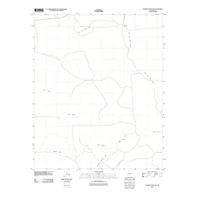 2010 Cowboy Mesa SW2010 Print · USGSLincoln County ranching country is captured here during the first decade of the new millennium, showing a landscape defined by seasonal arroyos. Researchers can locate the J Reynolds Ranch and follow the paths of Gallo Arroyo and Hackberry Draw.
 - 2010 Map of Gacho Hill SE, 2010 Print
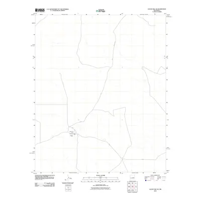 2010 Gacho Hill SE2010 Print · USGSLincoln County ranching country is documented here in the early twenty-first century, showing the persistence of rural homesteads. Genealogists and local historians can trace the specific locations of Roadrunner Ranch and Sanders Ranch along County Rd 31.
 - 2010 Map of Cowboy Mesa NE, 2010 Print
 2010 Cowboy Mesa NE2010 Print · USGSLincoln County ranchlands and high-desert terrain come into focus in this early 21st-century survey. Researchers and local historians can trace the rural road network connecting Lon to outlying features like Ditch Lake and the various branches of County Rd B020.
 - 2010 Map of Camaleon Draw East, 2010 Print
 2010 Camaleon Draw East2010 Print · USGSLincoln County at the start of the 2010s reveals a ranching landscape defined by its essential water features. Researchers can trace the path of Camaleon Draw across the terrain or locate the isolated catchment of Jojonera Lake.
 - 2010 Map of Cowboy Mesa, 2010 Print
 2010 Cowboy Mesa2010 Print · USGSLincoln County ranching country is captured here in the early twenty-first century, showing a landscape shaped by arroyos and remote outposts. Researchers can trace land use at Roadrunner Ranch South and Shanks Ranch or follow the path of Cola del Gallo Arroyo.
 - 2010 Map of Ramon SW, 2010 Print
 2010 Ramon SW2010 Print · USGSChaves County's high plains are documented here in the early 2000s, showing a landscape shaped by ranching and seasonal water. Researchers can trace rural infrastructure through isolated outposts like West Camp, Shearing Shed Camp, and landmarks like Natural Bridge.
 - 2010 Map of Ramon, 2010 Print
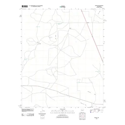 2010 Ramon2010 Print · USGSLincoln County ranching life is preserved here in the early twenty-first century, showing a landscape shaped by water management. Genealogists and historians can locate family landmarks like Simpson Ranch, Merritt Ranch, and the waters of Schoolhouse Tank.
 - 2010 Map of Oscura Peak, 2010 Print
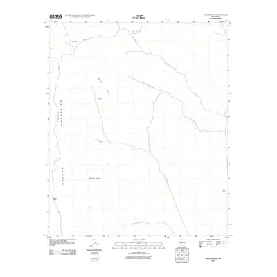 2010 Oscura Peak2010 Print · USGSThe high-desert terrain of the Oscura Mountains is captured here during the first decade of the 21st century. Researchers can trace the legacy of family ranching at A D Helm Ranch and Withers Ranch or locate isolated water sites like Selso Martinez Tank.
 - 2010 Map of Wagon Canyon, 2010 Print
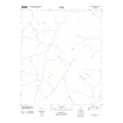 2010 Wagon Canyon2010 Print · USGSLincoln County ranching and rugged desert drainages are documented here in the early twenty-first century. Researchers can locate remote outposts like Barnes Ranch and a network of named water sources including Pop Jackson Tank and Sixshooter Tank.
 - 2010 Map of Red Canyon, 2010 Print
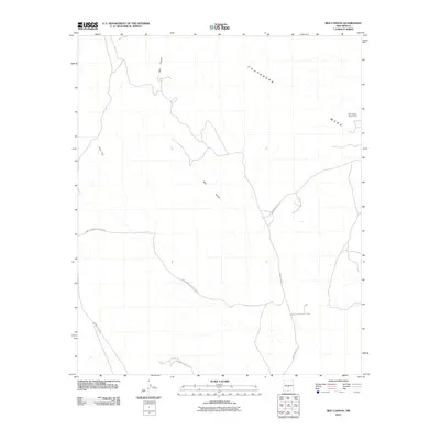 2010 Red Canyon2010 Print · USGSLincoln County’s high desert is captured here in the early twenty-first century, dominated by restricted military land. Researchers can trace the layout of the White Sands Missile Range, the Red Canyon Range Camp, and the rugged Chupadera Mesa.
 - 2010 Map of Oscura, 2010 Print
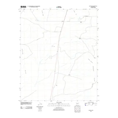 2010 Oscura2010 Print · USGSLincoln County’s high desert landscape is shown here in the early twenty-first century, centered on the small settlements and mining history of the region. Researchers can locate ranching landmarks like Brownstein Windmill or trace the geography of the Rey Mine and North Siding.
Showing maps 1-25 of 279
Top cities of Lincoln County
- Ruidoso historical maps
- Alto historical maps
- Ruidoso Downs historical maps
- Capitan historical maps
- Carrizozo historical maps
- Corona historical maps
Frequently asked questions
- What are the different types of historical maps available for Lincoln County?
- What is the oldest map of Lincoln County?
- Where can I purchase historical maps of Lincoln County for my home or office?
- Where can I download high-res historical maps of Lincoln County?
- Are there historical topographic maps available for Lincoln County?
- Is there historical aerial imagery available for Lincoln County?
- Where are historical maps of Lincoln County sourced from?