2020s Maps of Sandoval County, New Mexico
Explore 178 historic maps of Sandoval County from the 2020s. These maps offer a rare glimpse into what life looked like during the 2020s — showing old roads, neighborhoods, homes, and landmarks that have changed or disappeared over time.
Whether you're researching your family's past, planning a metal detecting trip, or studying how Sandoval County's landscape evolved across the 2020s, these high-resolution maps are a powerful tool for exploring the history of this region.
- Focus on a specific era: All maps on this page are from the 2020s, giving you a focused view of this time period.
- See what’s changed: Compare century-old streets, trails, and buildings to today's modern landscape using overlays and satellite layers.
- Research with precision: Use these maps for genealogy, historical research, land use analysis, or educational projects.
- View, download, or print: Maps are fully viewable online in high resolution, and can be downloaded or printed for your own records.
Start exploring Sandoval County's history through authentic maps from the 2020s. This is your window into the past.
Sandoval County, NM maps
(178)- 2020 Map of Laguna Seca, 2020 Print
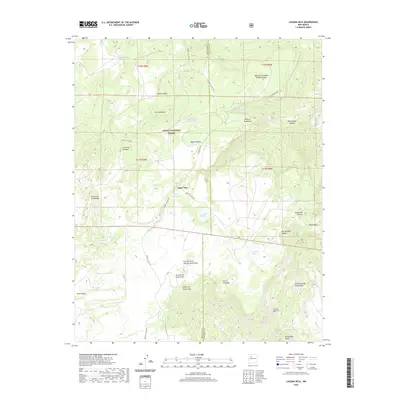 2020 Laguna Seca2020 Print · USGSCovers Sandoval County, including Eagle Nest, McKinley County, and other nearby areas
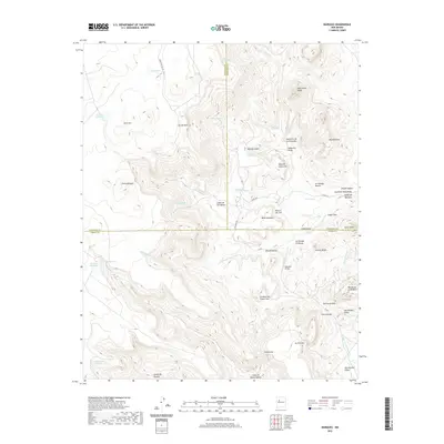
 - 2020 Map of Herrera, 2020 Print
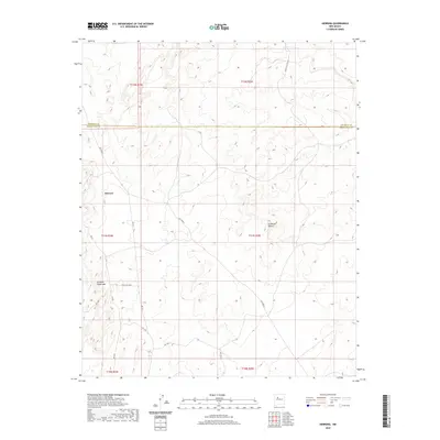 2020 Herrera2020 Print · USGSCovers Sandoval County, including Eastern Navajo Agency, Herrera, and other nearby areas
 - 2020 Map of Guadalupe, 2020 Print
 2020 Guadalupe2020 Print · USGSCovers Sandoval County, including Guadalupe, United States, and other nearby areas
 - 2020 Map of Wolf Stand, 2020 Print
 2020 Wolf Stand2020 Print · USGSCovers Sandoval County, including Eastern Navajo Agency, Torreon, and other nearby areas
 - 2020 Map of Marquez, 2020 Print
 2020 Marquez2020 Print · USGSCovers Sandoval County, including Marquez, McKinley County, and other nearby areas
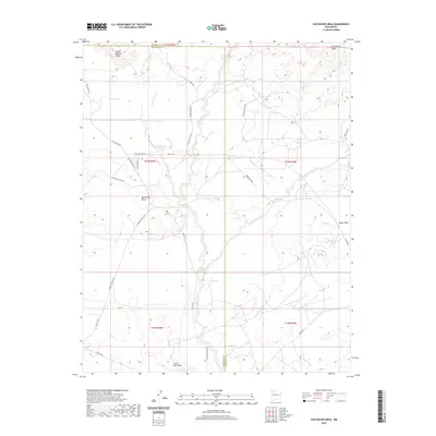
 - 2020 Map of Headcut Reservoir, 2020 Print
 2020 Headcut Reservoir2020 Print · USGSCovers Sandoval County, including United States, New Mexico, and other nearby areas
 - 2020 Map of Ojo Encino Mesa, 2020 Print
 2020 Ojo Encino Mesa2020 Print · USGSCovers Sandoval County, including Eastern Navajo Agency, Ojo Encino, and other nearby areas
 - 2020 Map of Casa Salazar, 2020 Print
 2020 Casa Salazar2020 Print · USGSCovers Sandoval County, including Casa Salazar, United States, and other nearby areas
 - 2020 Map of Arroyo Empedrado, 2020 Print
 2020 Arroyo Empedrado2020 Print · USGSCovers Sandoval County, including Eastern Navajo Agency, United States, and other nearby areas
 - 2020 Map of Cerro Tinaja, 2020 Print
 2020 Cerro Tinaja2020 Print · USGSCovers Sandoval County, including United States, New Mexico, and other nearby areas
 - 2020 Map of Cabezon Peak, 2020 Print
 2020 Cabezon Peak2020 Print · USGSCovers Sandoval County, including United States, New Mexico, and other nearby areas
 - 2020 Map of Johnson Trading Post, 2020 Print
 2020 Johnson Trading Post2020 Print · USGSCovers Sandoval County, including Eastern Navajo Agency, Penistaja, and other nearby areas
 - 2020 Map of Puerco Dam, 2020 Print
 2020 Puerco Dam2020 Print · USGSCovers Sandoval County, including Cuervo Crossing, United States, and other nearby areas
 - 2020 Map of Arch Mesa, 2020 Print
 2020 Arch Mesa2020 Print · USGSCovers Sandoval County, including Eastern Navajo Agency, Piedra Lumbre, and other nearby areas
 - 2020 Map of Canada Calladita, 2020 Print
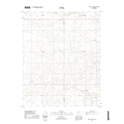 2020 Canada Calladita2020 Print · USGSCovers Sandoval County, including Eastern Navajo Agency, McKinley County, and other nearby areas
 - 2020 Map of Tinian, 2020 Print
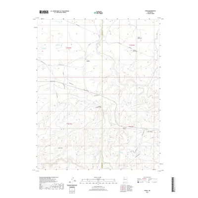 2020 Tinian2020 Print · USGSCovers Sandoval County, including Eastern Navajo Agency, Tinian, and other nearby areas
 - 2020 Map of San Luis, 2020 Print
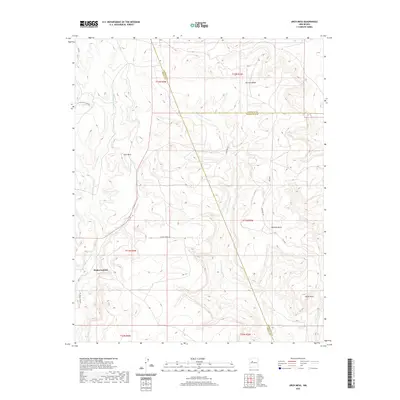
 2020 San Luis2020 Print · USGSCovers Sandoval County, including Cabezon, San Luis, and other nearby areas
 - 2020 Map of Pueblo Alto Trading Post, 2020 Print
 2020 Pueblo Alto Trading Post2020 Print · USGSCovers Sandoval County, including Eastern Navajo Agency, Tsédááʼtóhí, and other nearby areas
 - 2020 Map of Cerro Parido, 2020 Print
 2020 Cerro Parido2020 Print · USGSCovers Sandoval County, including McKinley County, United States, and other nearby areas
 - 2020 Map of La Gotera, 2020 Print
 2020 La Gotera2020 Print · USGSCovers Sandoval County, including La Gotera, Dos Tristes, and other nearby areas
 - 2020 Map of Mesa Portales, 2020 Print
 2020 Mesa Portales2020 Print · USGSCovers Sandoval County, including United States, New Mexico, and other nearby areas
 - 2020 Map of Star Lake, 2020 Print
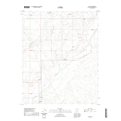
 2020 Star Lake2020 Print · USGSCovers Sandoval County, including Eastern Navajo Agency, McKinley County, and other nearby areas
 - 2020 Map of Santa Ana Pueblo, 2020 Print
 2020 Santa Ana Pueblo2020 Print · USGSCovers Sandoval County, including Santa Ana Pueblo, Algodones, and other nearby areas
 - 2020 Map of San Pablo, 2020 Print
 2020 San Pablo2020 Print · USGSCovers Sandoval County, including Campo El Deseo, San Miguel, and other nearby areas
 - 2020 Map of Arroyo de las Calabacillas, 2020 Print
 2020 Arroyo de las Calabacillas2020 Print · USGSCovers Sandoval County, including Rio Rancho, United States, and other nearby areas
Showing maps 1-25 of 178
Top cities of Sandoval County
- Rio Rancho historical maps
- Bernalillo historical maps
- Corrales historical maps
- Cuba historical maps
- Peña Blanca historical maps
- Jemez Springs historical maps
See more
Frequently asked questions
- What are the different types of historical maps available for Sandoval County?
- What is the oldest map of Sandoval County?
- Where can I purchase historical maps of Sandoval County for my home or office?
- Where can I download high-res historical maps of Sandoval County?
- Are there historical topographic maps available for Sandoval County?
- Is there historical aerial imagery available for Sandoval County?
- Where are historical maps of Sandoval County sourced from?