1970s Maps of North Dakota
Explore 534 historic maps of North Dakota from the 1970s. These maps offer a rare glimpse into what life looked like during the 1970s — showing old roads, neighborhoods, homes, and landmarks that have changed or disappeared over time.
Whether you're researching your family's past, planning a metal detecting trip, or studying how North Dakota's landscape evolved across the 1970s, these high-resolution maps are a powerful tool for exploring the history of this region.
- Focus on a specific era: All maps on this page are from the 1970s, giving you a focused view of this time period.
- See what’s changed: Compare century-old streets, trails, and buildings to today's modern landscape using overlays and satellite layers.
- Research with precision: Use these maps for genealogy, historical research, land use analysis, or educational projects.
- View, download, or print: Maps are fully viewable online in high resolution, and can be downloaded or printed for your own records.
Start exploring North Dakota's history through authentic maps from the 1970s. This is your window into the past.
North Dakota maps
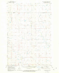
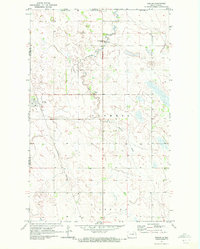
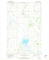
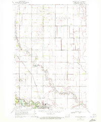
(534)- 1970 Map of Northwood SE, 1972 Print
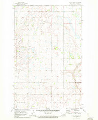
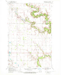 1970 Northwood SE1972 Print · USGSSteele County's rural townships were characterized by sprawling grain farms and quiet community centers in the 1970s. Researchers can pinpoint early landmarks like Little Forks Ch, the Townhall, and family burial sites including Stevens Memorial Cem.
 - 1970 Map of Bluegrass, 1972 Print
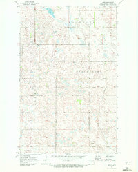
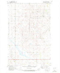
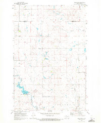 1970 Bluegrass1972 Print · USGSNorth Dakota's prairie landscape comes into focus during the early 1970s, showcasing a rural world of small settlements and emerging conservation areas. Genealogists and historians can trace the local drainage of Sweet Briar Creek, the development of Storm Creek Lake, and the remote outposts of Bluegrass and Briar.
 - 1970 Map of Hatton, 1972 Print
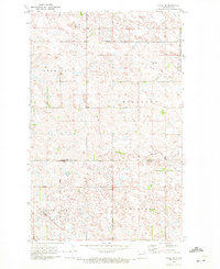
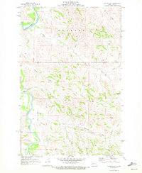
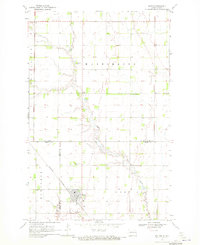 1970 Hatton1972 Print · USGSHatton and the surrounding prairie townships are captured here in the early 1970s at the intersection of Traill, Grand Forks, and Steele counties. Genealogists can locate family landmarks like St Johns Cem, Zoar Cem, and the rural Washington Prairie Ch.
 - 1970 Map of Alsen, 1972 Print
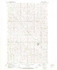
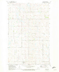 1970 Alsen1972 Print · USGSCavalier County agricultural life in the early seventies centers on the rail-fed hub of Alsen and the surrounding prairie townships. Researchers can trace family roots through the Soo Line rail corridor and sites like Rosehill Cem and Storlie.
 - 1970 Map of Mount Carmel, 1972 Print
 1970 Mount Carmel1972 Print · USGSCavalier County agricultural lands met the international border in the early seventies, centered on the rural community of Mount Carmel. Researchers can trace local landmarks like the Townhall or industrial sites including a Shale Pit and the Little South Pembina River.
 - 1970 Map of New Salem NW, 1972 Print
 1970 New Salem NW1972 Print · USGSWestern North Dakota prairie life in the early seventies centered on rural settlements and the land's hidden resources. Genealogists and researchers can locate the site of Youngtown, trace the winding Sweet Briar Creek, or identify workings at the local Strip Mine.
 - 1970 Map of Eagle Draw, 1972 Print
 1970 Eagle Draw1972 Print · USGSNorthwestern North Dakota's badlands terrain is captured here at the start of the 1970s where three counties meet. Genealogists and researchers can trace drainage systems like Beaver Creek and Morgan Draw alongside the meandering Little Missouri River.
 - 1970 Map of Sarles NE, 1972 Print
 1970 Sarles NE1972 Print · USGSThe North Dakota borderlands meet the Canadian line in this early 1970s survey of rural Cavalier County. Genealogists and local historians can locate the Byron Cem and trace the agricultural development of Glenila and Byron townships.
 - 1970 Map of Hailstone Butte, 1972 Print
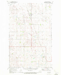
 1970 Hailstone Butte1972 Print · USGSMorton and Oliver counties are documented here in the early seventies, showing a landscape of high plains agriculture and scattered prairie landmarks. Genealogists can locate rural burial sites like St Markus Cem and Bluegrass Cem or trace the drainages of Hailstone Creek.
 - 1970 Map of Judson, 1972 Print
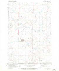
 1970 Judson1972 Print · USGSMorton County at the start of the 1970s reveals a prairie landscape of railroads and resource extraction. Researchers can trace the layout of Judson and locate regional landmarks like the Lignite Pits and Sweet Briar Lake.
 - 1970 Map of Calvin, 1972 Print
 1970 Calvin1972 Print · USGSCavalier County agricultural life in the early seventies is anchored by the rail connection and small-town centers of the North Dakota prairie. Genealogists and local historians can trace the exact locations of Corinthian Cem, the town of Calvin, and the Burlington Northern line.
 - 1970 Map of Sarles SE, 1972 Print
 1970 Sarles SE1972 Print · USGSCavalier County prairie lands are captured here in the late sixties, showcasing a landscape of glacial wetlands and rural townships. Genealogists and local historians can locate the Evangelical Cem and trace early section roads through Huron and Grey.
 - 1970 Map of Sarles, 1972 Print
 1970 Sarles1972 Print · USGSNear the international boundary in the early 1970s, this area of North Dakota shows a remote agricultural landscape centered on the rail-line town of Sarles. Genealogists and researchers can trace local family landmarks like Woodbridge Cem, the US Customs station, and the Burlington Northern tracks.
 - 1970 Map of Northwood NW, 1972 Print
 1970 Northwood NW1972 Print · USGSThe Grand Forks and Steele county line is defined by quiet prairie drainages and social centers like Bethania Ch in the early seventies. Genealogists can trace family roots through the Herickson Cem, Hanson Cem, and community Townhall locations.
 - 1970 Map of Hannah SW, 1972 Print
 1970 Hannah SW1972 Print · USGSCavalier County township life in the early seventies is defined by isolated farmsteads and the prairie pothole landscape. Genealogists and local historians can locate Our Saviors Ch, a rural Townhall, and the township boundaries of Moscow and Minto.
 - 1970 Map of Wales, 1972 Print
 1970 Wales1972 Print · USGSUpper Cavalier County near the Canadian border comes into focus in the early seventies, centered on the rail town of Wales. Genealogists and researchers can trace the Burlington Northern line and locate sites across Minto and Dresden townships.
 - 1970 Map of Hannah, 1972 Print
 1970 Hannah1972 Print · USGSThe North Dakota borderlands near the Canadian line are captured here in the early seventies, centered on the village of Hannah. Researchers can trace the path of the Burlington Northern railroad and locate local landmarks like the Hannah Cem and the U S Customs station.
 - 1970 Map of Loma, 1972 Print
 1970 Loma1972 Print · USGSCavalier County agricultural life is captured here in the early seventies, centered on the Soo Line rail corridor. Genealogists and local historians can trace the footprint of Loma, the nearby Storlie siding, and rural landmarks like Bethel Ch.
 - 1970 Map of Alsen SE, 1972 Print
 1970 Alsen SE1972 Print · USGSThe prairie pothole region of Cavalier County comes into focus in the early 1970s, showcasing a landscape of wetlands and isolated townships. Researchers can trace local landmarks like the Loma Cem, the Townhall, and the Burlington Northern rail line.
 - 1970 Map of Lakota, 1972 Print
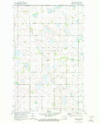
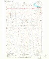
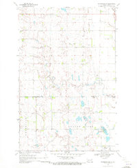
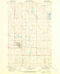 1970 Lakota1972 Print · USGSThe Nelson County seat of Lakota is shown here during the early 1970s, as the railway and highway network supported a growing prairie hub. Researchers can trace the town's footprint including the Lakota center, the Cem, and the Golf Course.2 unique versions available
 - 1970 Map of Mayville North, 1972 Print
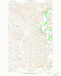
 1970 Mayville North1972 Print · USGSTraill County agriculture and rail transit are captured here in the early seventies as the local economy centered on the river forks. Researchers can trace the Burlington Northern line through Portland Junction or locate family roots at Holmes Cem and Morgan Cem.
 - 1970 Map of Hannah SE, 1972 Print
 1970 Hannah SE1972 Print · USGSCavalier County agricultural life is captured here in the early seventies, showing a landscape of strictly gridded townships and rural parishes. Genealogists can locate St John Ch, Bethel Cem, and the Townhall among the fields of Waterloo and Moscow.
 - 1970 Map of Hanks Gully, 1972 Print
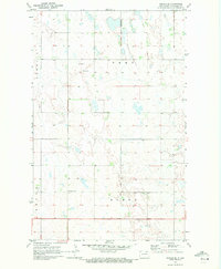
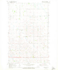
 1970 Hanks Gully1972 Print · USGSThe North Dakota Badlands in the early 1970s are defined by the winding Little Missouri River and the complex terrain of Rhoades. Geologists and researchers can trace the drainage patterns of Magpie Creek or locate landmarks like Buckhorn Butte and the local Oil Well.2 unique versions available
 - 1970 Map of Hampden, 1972 Print
 1970 Hampden1972 Print · USGSThe Ramsey and Cavalier county line area in the early 1970s is defined by its prairie wetlands and small-town rail connections. Genealogists and local historians can trace the Burlington Northern route through Hampden and locate the Storlie Cem.2 unique versions available
 - 1970 Map of Glen Ullin NE, 1972 Print
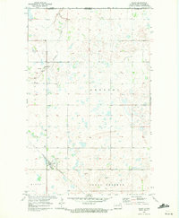
 1970 Glen Ullin NE1972 Print · USGSMorton County in the early seventies shows a landscape shaped by rural industry and prairie waterways. Researchers can trace the courses of Coyote Creek and Haymarsh Creek or locate early industrial sites like the Gravel Pits.
Showing maps 1-25 of 534
Top cities of North Dakota
- Fargo historical maps
- Bismarck historical maps
- Grand Forks historical maps
- West Fargo historical maps
- Minot historical maps
- Williston historical maps
See more
Top counties of North Dakota
- Cass County historical maps
- Burleigh County historical maps
- Ward County historical maps
- Grand Forks County historical maps
- Williams County historical maps
- Stark County historical maps
See more
Frequently asked questions
- What are the different types of historical maps available for North Dakota?
- What is the oldest map of North Dakota?
- Where can I purchase historical maps of North Dakota for my home or office?
- Where can I download high-res historical maps of North Dakota?
- Are there historical topographic maps available for North Dakota?
- Is there historical aerial imagery available for North Dakota?
- Where are historical maps of North Dakota sourced from?