2000s (21st Century) Maps of Divide County, North Dakota
Explore 150 historic maps of Divide County from the 2000s (21st Century). These maps offer a rare glimpse into what life looked like during the 2000s — showing old roads, neighborhoods, homes, and landmarks that have changed or disappeared over time.
Whether you're researching your family's past, planning a metal detecting trip, or studying how Divide County's landscape evolved across the 2000s, these high-resolution maps are a powerful tool for exploring the history of this region.
- Focus on a specific era: All maps on this page are from the 2000s, giving you a focused view of this time period.
- See what’s changed: Compare century-old streets, trails, and buildings to today's modern landscape using overlays and satellite layers.
- Research with precision: Use these maps for genealogy, historical research, land use analysis, or educational projects.
- View, download, or print: Maps are fully viewable online in high resolution, and can be downloaded or printed for your own records.
Start exploring Divide County's history through authentic maps from the 2000s. This is your window into the past.
Divide County, ND maps
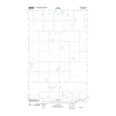
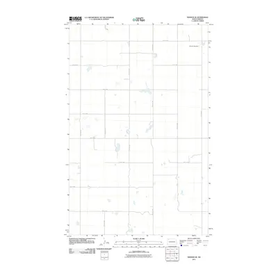
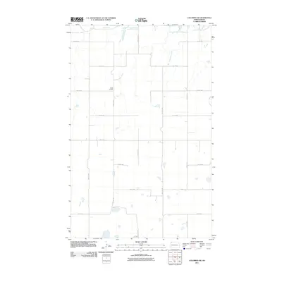
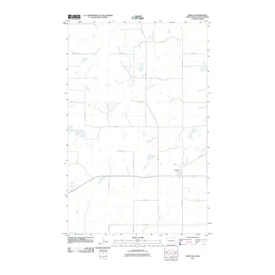
(150)- 2011 Map of Crosby SE, 2011 Print
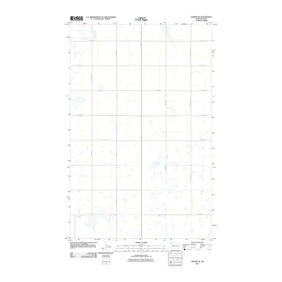 2011 Crosby SE2011 Print · USGSCovers Divide County, including United States, North Dakota, and other nearby areas
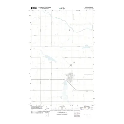
 - 2011 Map of Stady, 2011 Print
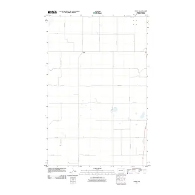 2011 Stady2011 Print · USGSCovers Divide County, including Stady, Williams County, and other nearby areas
 - 2011 Map of Writing Rock North, 2011 Print
 2011 Writing Rock North2011 Print · USGSCovers Divide County, including United States, North Dakota, and other nearby areas
 - 2011 Map of Colgan SE, 2011 Print
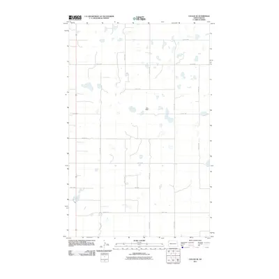 2011 Colgan SE2011 Print · USGSCovers Divide County, including United States, North Dakota, and other nearby areas
 - 2011 Map of Hamlet, 2011 Print
 2011 Hamlet2011 Print · USGSCovers Divide County, including Hamlet, Williams County, and other nearby areas
 - 2011 Map of Smoky Butte, 2011 Print
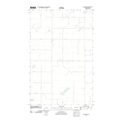
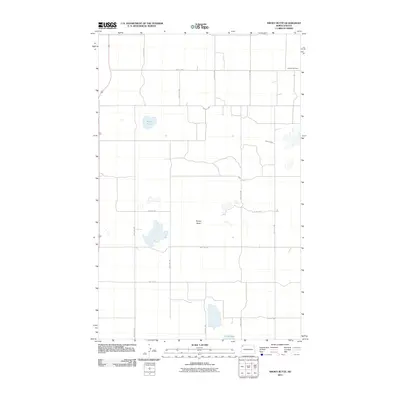 2011 Smoky Butte2011 Print · USGSCovers Divide County, including Williams County, United States, and other nearby areas
 - 2011 Map of Crosby SW, 2011 Print
 2011 Crosby SW2011 Print · USGSCovers Divide County, including United States, North Dakota, and other nearby areas
 - 2011 Map of Alamo NE, 2011 Print
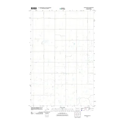
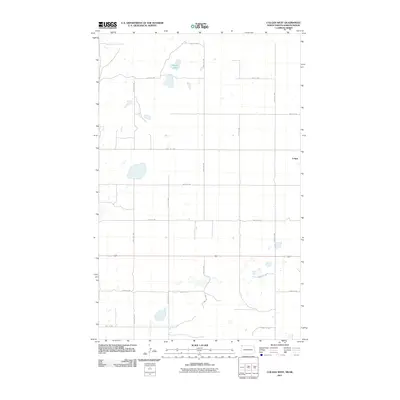
 2011 Alamo NE2011 Print · USGSCovers Divide County, including Williams County, United States, and other nearby areas
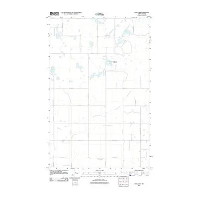
 - 2011 Map of Bright Water Lake, 2011 Print
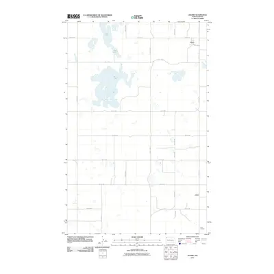
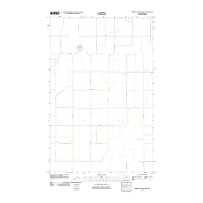 2011 Bright Water Lake2011 Print · USGSCovers Divide County, including Williams County, United States, and other nearby areas
 - 2011 Map of Writing Rock South, 2011 Print
 2011 Writing Rock South2011 Print · USGSCovers Divide County, including Williams County, United States, and other nearby areas
 - 2011 Map of Wildrose, 2011 Print
 2011 Wildrose2011 Print · USGSCovers Divide County, including Wildrose, Williams County, and other nearby areas
 - 2011 Map of Camp Lake, 2011 Print
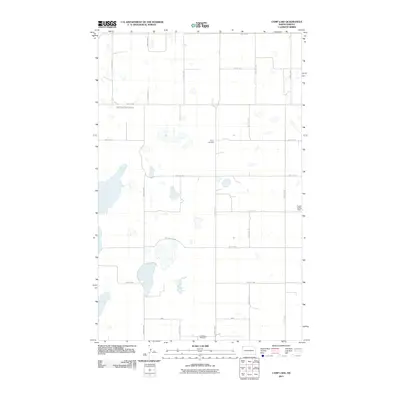 2011 Camp Lake2011 Print · USGSCovers Divide County, including Grenora, Williams County, and other nearby areas
 - 2011 Map of Noonan SE, 2011 Print
 2011 Noonan SE2011 Print · USGSCovers Divide County, including United States, North Dakota, and other nearby areas
 - 2011 Map of Alkabo, 2011 Print
 2011 Alkabo2011 Print · USGSCovers Divide County, including Alkabo, United States, and other nearby areas
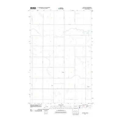
 - 2011 Map of Alexandria, 2011 Print
 2011 Alexandria2011 Print · USGSCovers Divide County, including United States, North Dakota, and other nearby areas
 - 2011 Map of Noonan SW, 2011 Print
 2011 Noonan SW2011 Print · USGSCovers Divide County, including United States, North Dakota, and other nearby areas
 - 2011 Map of Columbus SW, 2011 Print
 2011 Columbus SW2011 Print · USGSCovers Divide County, including Burke County, United States, and other nearby areas
 - 2011 Map of Bush Lake, 2011 Print
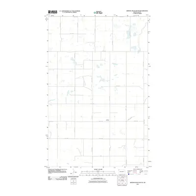
 2011 Bush Lake2011 Print · USGSCovers Divide County, including Williams County, Burke County, and other nearby areas
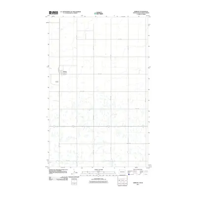
 - 2011 Map of Paulson, 2011 Print
 2011 Paulson2011 Print · USGSCovers Divide County, including Paulson, Cambria No. 6, and other nearby areas
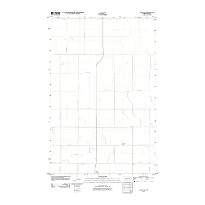
 - 2011 Map of Ambrose, 2011 Print
 2011 Ambrose2011 Print · USGSCovers Divide County, including Ambrose, Marienthal, and other nearby areas
 - 2011 Map of Fortuna, 2011 Print
 2011 Fortuna2011 Print · USGSCovers Divide County, including Fortuna, Souris Valley No. 7, and other nearby areas
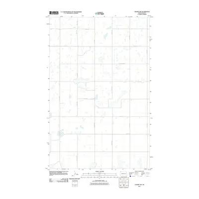
 - 2011 Map of Crosby, 2011 Print
 2011 Crosby2011 Print · USGSCovers Divide County, including Crosby, Cambria No. 6, and other nearby areas
 - 2011 Map of Colgan West, 2011 Print
 2011 Colgan West2011 Print · USGSCovers Divide County, including Souris Valley No. 7, United States, and other nearby areas
 - 2011 Map of Skjermo Lake, 2011 Print
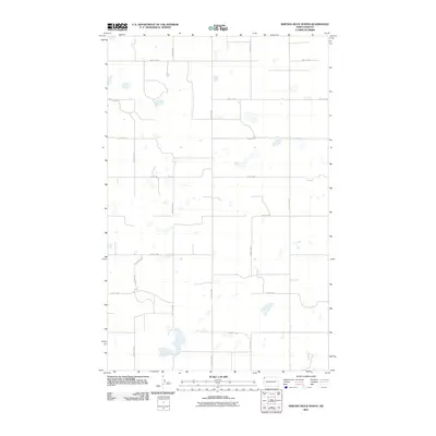
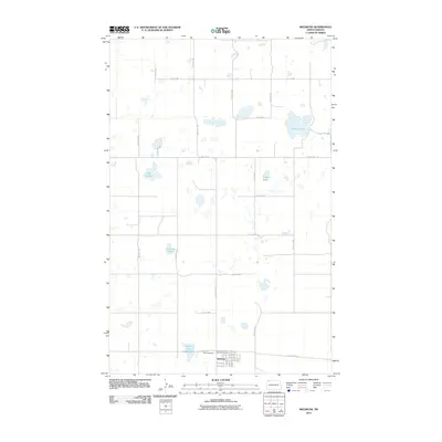
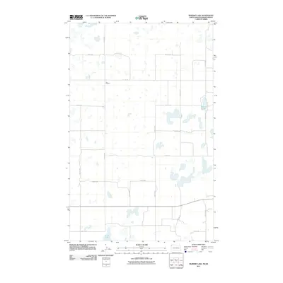 2011 Skjermo Lake2011 Print · USGSCovers Divide County, including Souris Valley No. 7, United States, and other nearby areas
 - 2011 Map of Colgan East, 2011 Print
 2011 Colgan East2011 Print · USGSCovers Divide County, including Colgan, Cambria No. 6, and other nearby areas
Showing maps 1-25 of 150
Top cities of Divide County
Frequently asked questions
- What are the different types of historical maps available for Divide County?
- What is the oldest map of Divide County?
- Where can I purchase historical maps of Divide County for my home or office?
- Where can I download high-res historical maps of Divide County?
- Are there historical topographic maps available for Divide County?
- Is there historical aerial imagery available for Divide County?
- Where are historical maps of Divide County sourced from?