2020s Maps of Divide County, North Dakota
Explore 60 historic maps of Divide County from the 2020s. These maps offer a rare glimpse into what life looked like during the 2020s — showing old roads, neighborhoods, homes, and landmarks that have changed or disappeared over time.
Whether you're researching your family's past, planning a metal detecting trip, or studying how Divide County's landscape evolved across the 2020s, these high-resolution maps are a powerful tool for exploring the history of this region.
- Focus on a specific era: All maps on this page are from the 2020s, giving you a focused view of this time period.
- See what’s changed: Compare century-old streets, trails, and buildings to today's modern landscape using overlays and satellite layers.
- Research with precision: Use these maps for genealogy, historical research, land use analysis, or educational projects.
- View, download, or print: Maps are fully viewable online in high resolution, and can be downloaded or printed for your own records.
Start exploring Divide County's history through authentic maps from the 2020s. This is your window into the past.
Divide County, ND maps
(60)- 2020 Map of Westby South, 2020 Print
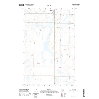 2020 Westby South2020 Print · USGSThe high plains of the Montana-North Dakota border come into focus in this recent survey of the area around Westby. Researchers can trace the rural grid of Stateline Rd and Scandia Rd or locate the historic Daneville Cemetery.
 - 2020 Map of Dominek Lake, 2020 Print
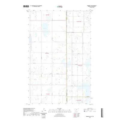 2020 Dominek Lake2020 Print · USGSThe borderlands of Montana and North Dakota come into focus in this recent survey of the high prairie. Local historians can trace family roots at Immanuel Cem or explore the hydrography of Dominek Lake and the wetlands along Stateline Rd.
 - 2020 Map of Westby North, 2020 Print
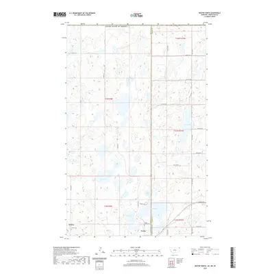 2020 Westby North2020 Print · USGSThe Montana-North Dakota borderlands and the international boundary come into focus in this contemporary survey of the high plains. Researchers can trace local heritage sites like McElroy Cem and the waters of Flat Lake and Gaulke Lake.
 - 2020 Map of Crosby SW, 2020 Print
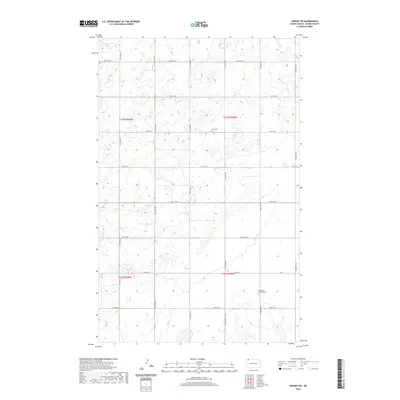 2020 Crosby SW2020 Print · USGSDivide County's prairie landscape and rural section lines are preserved here as they appeared in the early twenty-first century. Genealogists and historians can locate markers of the area's heritage at Troy Cem and the Bethlehem Lutheran Cem near Co Rd 14.
 - 2020 Map of Fortuna, 2020 Print
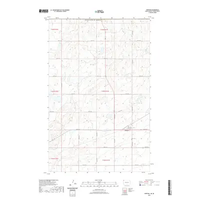 2020 Fortuna2020 Print · USGSFortuna and the surrounding Divide County plains are shown here in the modern era, just miles from the international border. Genealogists and local historians can trace the town's footprint along ND 5 and locate the Fortuna Cem among the prairie wetlands.
 - 2020 Map of Colgan West, 2020 Print
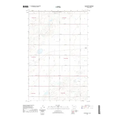 2020 Colgan West2020 Print · USGSDivide County's northern plains are captured here in the modern era, showing a landscape defined by the section-line grid and rural settlements. Trace the roads around Colgan or locate water features like Goose Lake within this agricultural corridor.
 - 2020 Map of Alkabo, 2020 Print
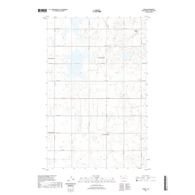 2020 Alkabo2020 Print · USGSDivide County in the late 2010s remains a landscape of high-plains agriculture and quiet rural crossroads. Genealogists can trace family footprints at Hillcrest Cem and Skabo Cem, or explore the environs of Alkabo near the shores of North Lake.
 - 2020 Map of Columbus SW, 2020 Print
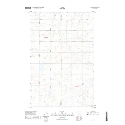 2020 Columbus SW2020 Print · USGSDivide and Burke counties meet in this 2020 landscape of glacial potholes and organized section-line roads. Genealogists can locate family landmarks like Prairie Chapel Cem and Larson Lutheran Cem near the headwaters of W Br Short Cr.
 - 2020 Map of Hamlet, 2020 Print
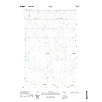 2020 Hamlet2020 Print · USGSThe Divide and Williams county line comes into focus in this recent look at the North Dakota prairie. Researchers can trace the layout of the tiny settlement of Hamlet, find the Trinity Cem, and locate landmarks like Jensen Lake and The Swamp.
 - 2020 Map of Noonan SE, 2020 Print
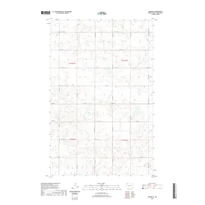 2020 Noonan SE2020 Print · USGSDivide County’s pothole prairie is captured here in the early twenty-first century, showing a landscape of scattered wetlands and section-line roads. Trace the intersection of agricultural life and difficult terrain along Farm to Market Rd and 110th Ave NW.
 - 2020 Map of Camp Lake, 2020 Print
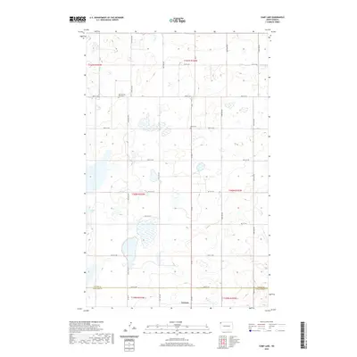 2020 Camp Lake2020 Print · USGSThe rural prairie around the Divide Co line comes into focus in this recent survey. Local historians and genealogists can pinpoint regional landmarks like West Writing Rock Cem, Bethel Cem, and the waters of Camp Lake near Grenora.
 - 2020 Map of Alamo NE, 2020 Print
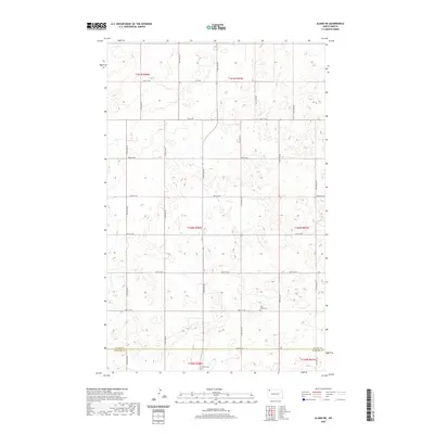 2020 Alamo NE2020 Print · USGSDivide and Williams counties in northwestern North Dakota are captured in this 2020 survey, showing the enduring grid of the high plains. Researchers can locate rural burial sites like East Opdal Cem and Corinth Cem along 90th St NW.
 - 2020 Map of Skjermo Lake, 2020 Print
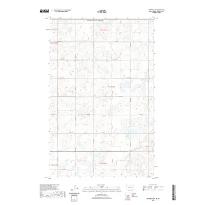 2020 Skjermo Lake2020 Print · USGSDivide County sits at the edge of the international border in the early twenty-first century, showcasing a landscape of high-plains agriculture and prairie potholes. Researchers can locate the Oslo Cem and trace the drainage patterns of Skjermo Lake and North Lake.
 - 2020 Map of Atcoal, 2020 Print
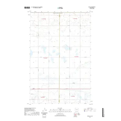 2020 Atcoal2020 Print · USGSDivide and Burke counties are shown in this modern survey of the North Dakota prairie, where the rural grid meets a landscape of scattered wetlands. Genealogists and local historians can locate Atcoal and the Assembly of God Cem along 102nd St NW.
 - 2020 Map of Colgan SE, 2020 Print
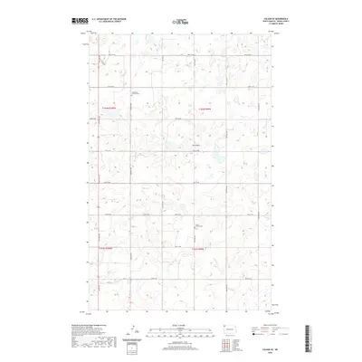 2020 Colgan SE2020 Print · USGSDivide County's rural township grids are preserved here in the late twenty-teens, showing a landscape defined by prairie potholes and remote homesteads. Genealogists and historians can locate legacy sites including Twin Butte Lutheran Cem, Trinity Lutheran Cem, and the prominent Twin Butte landmark.
 - 2020 Map of Bright Water Lake, 2020 Print
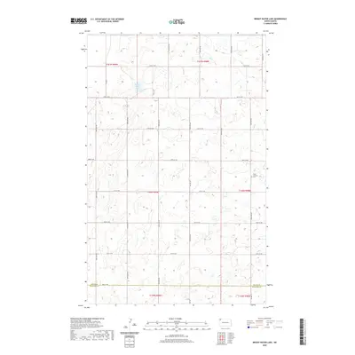 2020 Bright Water Lake2020 Print · USGSThe Divide and Williams County line in northwestern North Dakota is captured here in the early twenty-first century. Genealogists and local historians can locate family sites near Skabo Lutheran Cem and trace the drainage patterns around Bright Water Lake.
 - 2020 Map of Smoky Butte, 2020 Print
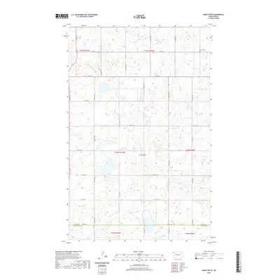 2020 Smoky Butte2020 Print · USGSThe high plains of the North Dakota borderlands are captured here in the 2020s, showing a remote landscape of prairie potholes and section lines. Genealogists and local historians can locate Herman Cem and trace the terrain around Smoky Butte or Holm Lake.
 - 2020 Map of Crosby SE, 2020 Print
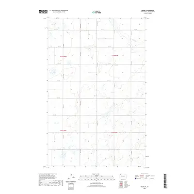 2020 Crosby SE2020 Print · USGSDivide County in the northern plains shows a landscape of agricultural grids and seasonal wetlands in this contemporary survey. Researchers can trace rural property access and prairie drainage patterns along Co 14 and local roads like 97th St NW.
 - 2020 Map of Wildrose, 2020 Print
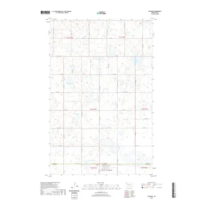 2020 Wildrose2020 Print · USGSThe northern prairie landscape near the Divide and Williams county line comes into focus in this recent survey. Local researchers can trace the streets of Wildrose, locate the Grace Cem, and identify water features like Thorsons Lake and Rosten Slough.
 - 2020 Map of Writing Rock South, 2020 Print
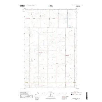 2020 Writing Rock South2020 Print · USGSNorthwestern North Dakota remains a landscape of sprawling prairie and family heritage in this recent survey. Local historians can trace the Divide Co Williams Co border and locate sites like Bethany Cem and the private Storseth Airstrip.
 - 2020 Map of Ambrose, 2020 Print
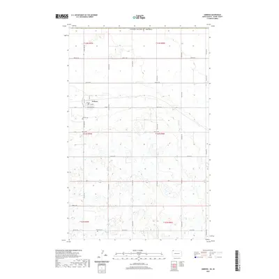 2020 Ambrose2020 Print · USGSNear the international border in the years following the millennium, this North Dakota prairie landscape centers on the small town of Ambrose. Researchers can trace the section-line roads and the local layout of 127th Ave NW amidst a high concentration of prairie wetlands.
 - 2020 Map of Writing Rock North, 2020 Print
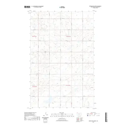 2020 Writing Rock North2020 Print · USGSDivide County's prairie landscape is captured in this recent survey of the state's northwestern corner. Genealogists and local researchers can locate the Writing Rock Cem and trace the drainage patterns of Marsland Slough and Rattler Lake.
 - 2020 Map of Stady, 2020 Print
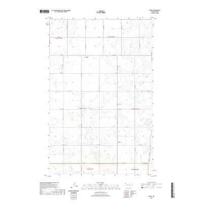 2020 Stady2020 Print · USGSThe Divide County prairie near the Williams County line is shown here in the early twenty-first century. Researchers can trace local heritage at Stady or find family history at Rudser Church Cem and Thompson Cem.
 - 2020 Map of Crosby, 2020 Print
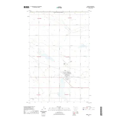 2020 Crosby2020 Print · USGSCrosby and the surrounding North Dakota prairie are captured here at the start of the 2020s, just miles from the Canadian border. Researchers can locate the Divide County Court House, Saint Patricks Cem, and Troy Field in this detailed survey of the county seat.
 - 2020 Map of Colgan East, 2020 Print
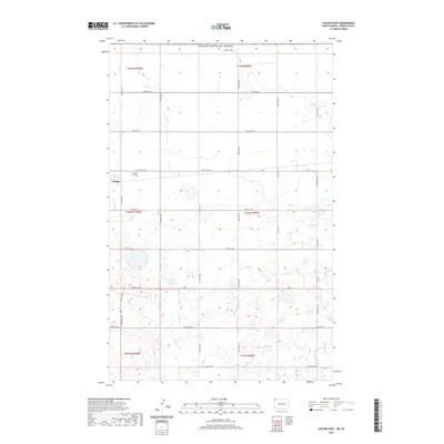 2020 Colgan East2020 Print · USGSDivide County near the Canadian border is documented here in the early twenty-first century, showcasing the sparse settlement of the northern plains. Researchers can locate the Colgan townsite and the Zion Lutheran Cem, or trace rural routes like ND 5 and CO 2.
Showing maps 1-25 of 60
Top cities of Divide County
Frequently asked questions
- What are the different types of historical maps available for Divide County?
- What is the oldest map of Divide County?
- Where can I purchase historical maps of Divide County for my home or office?
- Where can I download high-res historical maps of Divide County?
- Are there historical topographic maps available for Divide County?
- Is there historical aerial imagery available for Divide County?
- Where are historical maps of Divide County sourced from?