2010s Maps of Coos County, Oregon
Explore 135 historic maps of Coos County from the 2010s. These maps offer a rare glimpse into what life looked like during the 2010s — showing old roads, neighborhoods, homes, and landmarks that have changed or disappeared over time.
Whether you're researching your family's past, planning a metal detecting trip, or studying how Coos County's landscape evolved across the 2010s, these high-resolution maps are a powerful tool for exploring the history of this region.
- Focus on a specific era: All maps on this page are from the 2010s, giving you a focused view of this time period.
- See what’s changed: Compare century-old streets, trails, and buildings to today's modern landscape using overlays and satellite layers.
- Research with precision: Use these maps for genealogy, historical research, land use analysis, or educational projects.
- View, download, or print: Maps are fully viewable online in high resolution, and can be downloaded or printed for your own records.
Start exploring Coos County's history through authentic maps from the 2010s. This is your window into the past.
Coos County, OR maps
(135)- 2011 Map of Empire, 2011 Print
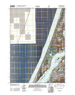 2011 Empire2011 Print · USGSThe coastal community of Empire is shown here in the early 2000s, where maritime industry meets the Pacific shore. Researchers can trace local landmarks like the Empire Post Office, Empire Cemetery, and the Roseburg Lumber Chip Facility Airstrip on the North Spit.
 - 2011 Map of Barklow Mountain, 2011 Print
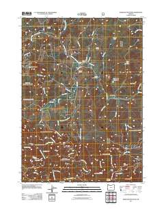 2011 Barklow Mountain2011 Print · USGSCoos County ranching and mining history come into focus in this recent study of the Oregon Coast Range mountains. Genealogists and local researchers can locate family sites like Avery Ranch and Dement Ranch, or find the Huckleberry Knoll Cemetery and Blue Jay Mine.
 - 2011 Map of Mount Bolivar, 2011 Print
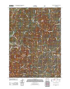 2011 Mount Bolivar2011 Print · USGSCoastal Oregon high country comes into focus in this early 21st-century survey of the Douglas County peaks. Map enthusiasts and hikers can trace the access roads leading to Fuller Mine, locate the remote Cold Spring Camp, or study the headwaters of the South Fork Coquille River.
 - 2011 Map of Marial, 2011 Print
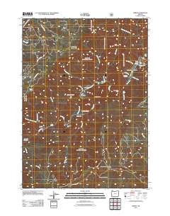 2011 Marial2011 Print · USGSThe Rogue River wilderness is captured here in the early twenty-first century, centered on the remote settlement of Marial. Researchers can trace old family sites at Mule Creek Cemetery and explore the geography of the canyon near Rogue River Ranch and Mule Creek Canyon.
 - 2011 Map of Rasler Creek, 2011 Print
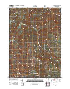 2011 Rasler Creek2011 Print · USGSCoos County’s timberlands and high-elevation drainages are captured here in the early twenty-first century. Researchers can trace forest access routes and historical family-named sites like Jenkins Prairie, Rasler Creek, and Myrtle Creek.
 - 2011 Map of Lakeside, 2011 Print
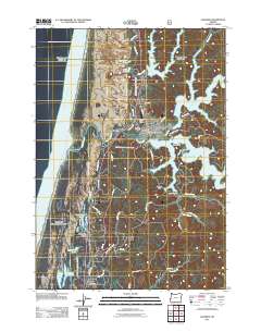 2011 Lakeside2011 Print · USGSCoastal Oregon at the start of the 2010s shows a landscape defined by the branching waters of Tenmile Lake and its surrounding dunes. Genealogists and local historians can trace residential pockets at Shutter Landing, the Lakeside Post Office, and the grounds of Lakeside Cemetery.
 - 2011 Map of North Bend, 2011 Print
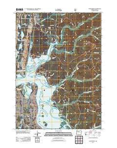 2011 North Bend2011 Print · USGSCoastal Oregon at the turn of the decade reveals a landscape where maritime inlets and aviation hubs meet. Genealogists and local historians can trace the residential streets of North Bend, the settlement at Glasgow, and landmarks like the McCullough Memorial Bridge.
 - 2011 Map of Bone Mountain, 2011 Print
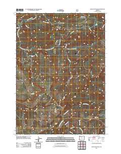 2011 Bone Mountain2011 Print · USGSDouglas County’s high ridges and river headwaters are captured in detail during the early 2010s. Researchers can trace remote forest access via Signal Tree Rd and locate landmarks like Bone Mountain, Ketchin Butte, and Long Prairie.
 - 2011 Map of Ophir Mountain, 2011 Print
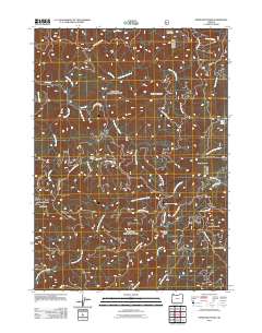 2011 Ophir Mountain2011 Print · USGSThe Southern Oregon Coast Range comes into focus during this 2011 survey of the high-elevation terrain near the Coos County line. Genealogists and outdoor historians can trace the network of forest development roads leading to sites like Toast Camp, Camp Victoria, and Ophir Mountain.
 - 2011 Map of Dement Creek, 2011 Print
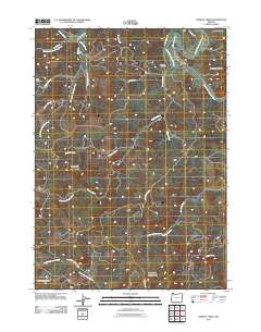 2011 Dement Creek2011 Print · USGSCoastal Oregon’s river-carved interior is documented here in the early twenty-first century as it spans the heights of the Coast Range. Local historians and genealogists can trace family-named landmarks like Dement Cemetery, Bills Prairie, and the South Fork Coquille River.
 - 2011 Map of Calf Ranch Mountain, 2011 Print
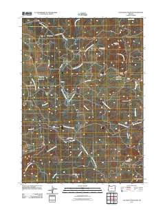 2011 Calf Ranch Mountain2011 Print · USGSCoastal Oregon highlands come into focus in the early 2010s, showing a network of remote camps and ridges shaped by the Floras Creek drainage. Researchers can locate the Ocean View Cemetery, trace the road to Okietown, or find the curious White Elephant Bridge.
 - 2011 Map of Langlois, 2011 Print
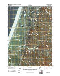 2011 Langlois2011 Print · USGSThe Southern Oregon coast near Denmark and Langlois is shown here in the early twenty-first century, just inland from the New River corridor. Researchers can trace local landmarks like Denmark Cemetery, Russell Bridge, and the dairying country surrounding Floras Lake.
 - 2011 Map of Cedar Creek, 2011 Print
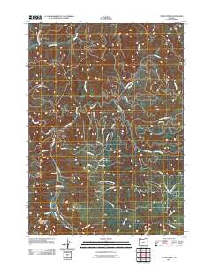 2011 Cedar Creek2011 Print · USGSDouglas County timberlands and the Williams River are captured here during the early twenty-first century. Researchers can trace the complex network of logging routes and find landmarks like Woods Camp, Green Peak, and the winding Cedar Creek.
 - 2011 Map of Camas Valley, 2011 Print
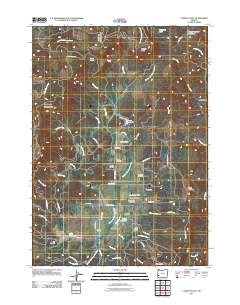 2011 Camas Valley2011 Print · USGSCamas Valley and the surrounding Douglas County timberlands are shown here in the early 21st century. Genealogists and local historians can trace the community's roots through several family-named landmarks like Martindale Cemetery, Murray Cemetery, and Day Cemetery.
 - 2011 Map of Golden Falls, 2011 Print
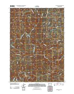 2011 Golden Falls2011 Print · USGSCoos County's timberlands and river forks come into focus in the early twenty-first century as the region manages its diverse water resources. Researchers can trace the winding paths of the East Fork Millicoma River and locate the Coos River Fish Hatchery or Golden and Silver Falls St Park.
 - 2011 Map of Elk Peak, 2011 Print
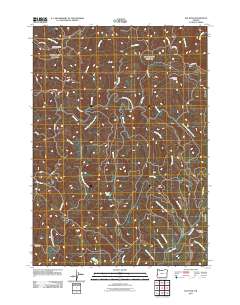 2011 Elk Peak2011 Print · USGSCoastal Oregon's timberlands and river headwaters are captured here at the start of the 2010s. Researchers can trace historical forestry routes like Umpcoos Rd and find remote landmarks such as Loon Lake Lookout and Stulls Falls.
 - 2011 Map of Remote, 2011 Print
 2011 Remote2011 Print · USGSCoastal Oregon's river valleys remained a patchwork of small homesteads and timber access points in the early twenty-first century. Genealogists and local historians can pinpoint the Remote Post Office and trace family sites at Enchanted Prairie Cemetery and Fetter Cemetery.
 - 2011 Map of Ivers Peak, 2011 Print
 2011 Ivers Peak2011 Print · USGSDouglas County’s wilderness near the turn of the decade reveals a landscape of high ridges and deep-cut creek beds. Researchers can trace the headwaters of the East Fork Millicoma River and find landmarks like Ivers Peak and Coos Ridge.
 - 2011 Map of Sitkum, 2011 Print
 2011 Sitkum2011 Print · USGSThe Sitkum area of Coos County is shown in detail during the early 2010s, defined by the winding East Fork Coquille River and steep timberlands. Researchers can trace forest access routes and geographic landmarks like Skeeter Camp, Burnt Mountain, and the Sitkum-County Line Rd.
 - 2011 Map of Dora, 2011 Print
 2011 Dora2011 Print · USGSDora and the surrounding Coast Range foothills are documented here at the start of the 2010s. Researchers can trace family sites at McKinley Cemetery or explore the drainage of the East Fork Coquille River near Brewster Canyon and Brewster Valley.
 - 2011 Map of Mount Gurney, 2011 Print
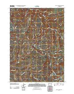 2011 Mount Gurney2011 Print · USGSDouglas County’s timberlands and historic travel routes are documented here in the early twenty-first century. You can trace the path of the Coos Bay Wagon Rd or locate remote landmarks like Lost Creek Falls and the summit of Mount Gurney.
 - 2011 Map of Coos Mountain, 2011 Print
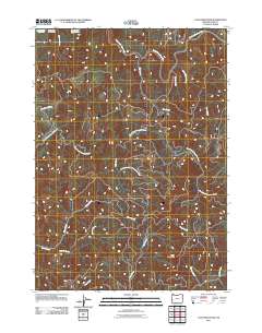 2011 Coos Mountain2011 Print · USGSThe Oregon Coast Range is captured here in the early twenty-first century, showcasing the rugged divide between the Coos and Coquille river systems. Local historians can trace the paths of Coquille-Fairview Rd and the operations at the Coos River Fish Hatchery.
 - 2011 Map of Kenyon Mountain, 2011 Print
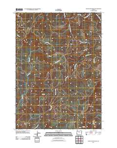 2011 Kenyon Mountain2011 Print · USGSDouglas County's high ridges and creek drainages are mapped in detail here during the early twenty-first century. Researchers can locate forest landmarks like Camas Lookout or trace the routes of Weaver Creek Rd and Upper Rock Creek Rd.
 - 2011 Map of Loon Lake, 2011 Print
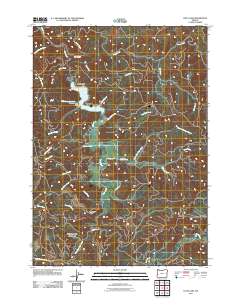 2011 Loon Lake2011 Print · USGSDouglas County’s timberlands and remote settlements appear in detail during the early 2010s. Trace the winding roads of Ash Valley and locate distinctive landmarks like Beehive Rock, Saint Patricks Rock, and the waters of Loon Lake.
 - 2011 Map of Tioga, 2011 Print
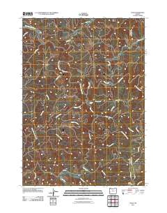 2011 Tioga2011 Print · USGSDouglas County timberlands are mapped here in the early twenty-first century, showing the complex road networks used to navigate these steep drainages. Researchers can trace the paths of S Coos River Rd to remote sites like Old Tioga Camp and Farrin Camp.
Showing maps 1-25 of 135
Top cities of Coos County
- Coos Bay historical maps
- North Bend historical maps
- Coquille historical maps
- Bandon historical maps
- Myrtle Point historical maps
- Barview historical maps
See more
Frequently asked questions
- What are the different types of historical maps available for Coos County?
- What is the oldest map of Coos County?
- Where can I purchase historical maps of Coos County for my home or office?
- Where can I download high-res historical maps of Coos County?
- Are there historical topographic maps available for Coos County?
- Is there historical aerial imagery available for Coos County?
- Where are historical maps of Coos County sourced from?