2020s Maps of Coos County, Oregon
Explore 90 historic maps of Coos County from the 2020s. These maps offer a rare glimpse into what life looked like during the 2020s — showing old roads, neighborhoods, homes, and landmarks that have changed or disappeared over time.
Whether you're researching your family's past, planning a metal detecting trip, or studying how Coos County's landscape evolved across the 2020s, these high-resolution maps are a powerful tool for exploring the history of this region.
- Focus on a specific era: All maps on this page are from the 2020s, giving you a focused view of this time period.
- See what’s changed: Compare century-old streets, trails, and buildings to today's modern landscape using overlays and satellite layers.
- Research with precision: Use these maps for genealogy, historical research, land use analysis, or educational projects.
- View, download, or print: Maps are fully viewable online in high resolution, and can be downloaded or printed for your own records.
Start exploring Coos County's history through authentic maps from the 2020s. This is your window into the past.
Coos County, OR maps
(90)- 2020 Map of Floras Lake, 2020 Print
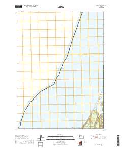 2020 Floras Lake2020 Print · USGSThe southern Oregon coast meets the sea at the start of the 2020s, showing a landscape defined by water and stone. Researchers can trace the shoreline around Floras Lake and locate coastal landmarks like Blacklock Point and Tower Rock.
 - 2020 Map of Calf Ranch Mountain, 2020 Print
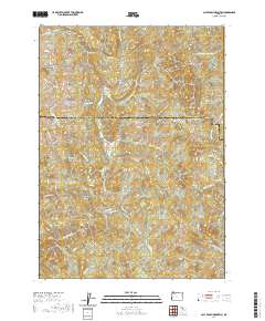 2020 Calf Ranch Mountain2020 Print · USGSThe Southern Oregon coastal mountains come into focus in this recent survey of the Coos and Curry county line. Local historians can trace the headwaters of Floras Creek and locate landmarks like the Ocean View Cem and White Elephant Bridge.
 - 2020 Map of Langlois, 2020 Print
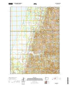 2020 Langlois2020 Print · USGSThe Oregon coast near Denmark and Langlois is captured in the modern era, showing where the New River skirts the shoreline. Genealogists and local historians can locate the Denmark Cem and trace rural routes to Russell Bridge or up to White Mtn.
 - 2020 Map of Ophir Mountain, 2020 Print
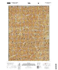 2020 Ophir Mountain2020 Print · USGSThe Oregon Coast Range at the Coos and Curry county line is shown here in the contemporary era, centered on the Elk Wild and Scenic River. Topographic researchers can trace the drainages of Poverty Gulch or locate landmarks like Ophir Mtn and the unique Devils Half Acre.
 - 2020 Map of Daniels Creek, 2020 Print
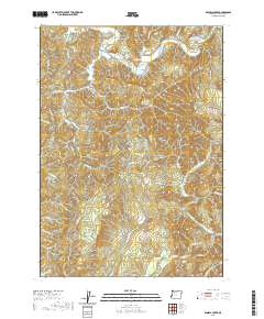 2020 Daniels Creek2020 Print · USGSDellwood and the surrounding Coos County timberlands are documented here during the late twenty-teens. Genealogists and hikers can trace the steep drainages of the Blue Ridge and locate specific riverside landmarks like Myrtle Tree Hole and Contrary Bend.
 - 2020 Map of Bridge, 2020 Print
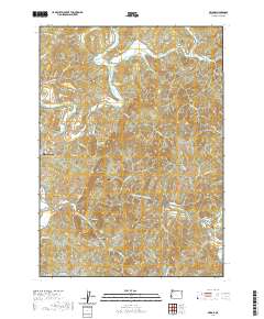 2020 Bridge2020 Print · USGSCoastal Oregon foothills come into focus in the early twenty-first century, showing the enduring rural layout of Coos County. Genealogists can locate family burial sites like Brack Cem and Brewer Cem or trace the winding course of the East Fork Coquille River.
 - 2020 Map of Bandon, 2020 Print
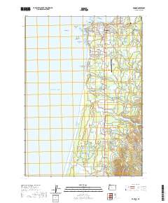 2020 Bandon2020 Print · USGSThe Oregon coast at the mouth of the Coquille River is captured here in the contemporary era. Researchers can trace the development of Bandon and find local landmarks such as the Knights of Pythias Cem or the distinct formations of Face Rock and Haystack Rock.
 - 2020 Map of McKinley, 2020 Print
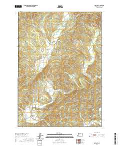 2020 McKinley2020 Print · USGSThe North Fork Coquille River valley in Coos County shows a landscape of timber and rural history in the early twenty-first century. Genealogists and researchers can trace local heritage through Morris-Baker Cem, the historic Coos Bay Wagon Rd, and the settlement at McKinley.
 - 2020 Map of Lakeside, 2020 Print
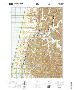 2020 Lakeside2020 Print · USGSLakeside and the surrounding Oregon coast are captured here in the contemporary era, defined by a maze of freshwater lakes and massive dunes. Genealogists and researchers can locate Lakeside Cem, the Lakeside Municipal Airport, and tracing family names along Larsen Ranch Rd and Saunders Creek.
 - 2020 Map of Myrtle Point, 2020 Print
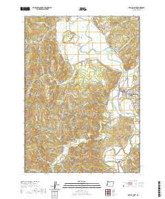 2020 Myrtle Point2020 Print · USGSThe river forks and timber valleys of Coos County are detailed here as they appeared in the early twenty-first century. Genealogists and local historians can trace family roots through numerous burial grounds like Norway Cem and Hermann Cem or locate old homesteads near Arago and Broadbent.
 - 2020 Map of Bill Peak, 2020 Print
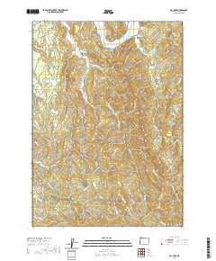 2020 Bill Peak2020 Print · USGSCoastal Oregon highlands meet the winding Coquille River in this detailed survey of Coos County. Researchers can trace rural lineages through local landmarks like Bear Creek Cem, Lampa Creek Cem, and the prominent Bill Peak.
 - 2020 Map of Coos Bay, 2020 Print
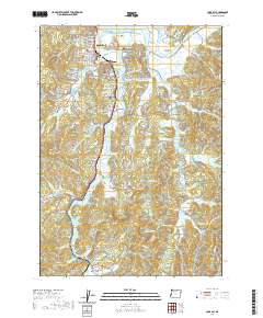 2020 Coos Bay2020 Print · USGSThe Coos Bay waterfront and its surrounding tidal sloughs are shown in detail during the early twenty-first century. Researchers can trace family history through local landmarks like Sunset Memorial Park, Haynes Cem, and the community at Millington.
 - 2020 Map of Allegany, 2020 Print
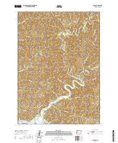 2020 Allegany2020 Print · USGSThe river forks of Coos County are captured here in the early twenty-first century as they converge at Allegany. Researchers can trace the drainage of the Millicoma River system and locate family-history sites like Allegany Cem and the South Fork Cem.
 - 2020 Map of Powers, 2020 Print
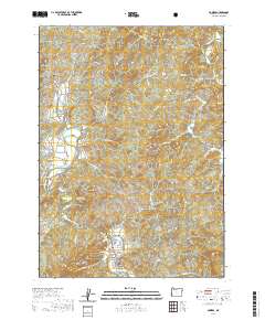 2020 Powers2020 Print · USGSCoastal Oregon's timber and river country is documented here in the recent era, centered on the community of Powers and the South Fork Coquille River. Researchers can locate several distinct burial sites including Warner Grave, Wise Cem, and Waterman Cem.
 - 2020 Map of Coos Mountain, 2020 Print
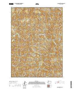 2020 Coos Mountain2020 Print · USGSCoos County's interior hills are charted in detail in the early twenty-first century, showing the rugged water-carved terrain of the Coast Range. Researchers can trace the winding paths of Coquille Fairview Rd and Fork Ridge Rd as they bridge the gap between Coos Mtn and the South Fork Coos River.
 - 2020 Map of China Flat, 2020 Print
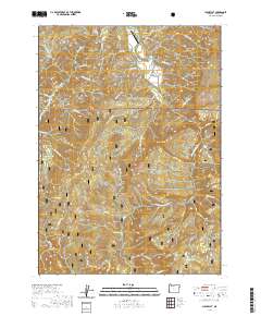 2020 China Flat2020 Print · USGSCoastal mountains and river valleys define this Coos County landscape during the early twenty-first century. Genealogists and hikers can trace remote landmarks like the Norris Family Cem, the namesake China Flat, and the heights of Johnson Mtn.
 - 2020 Map of Remote, 2020 Print
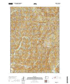 2020 Remote2020 Print · USGSRemote and the winding banks of the Middle Fork Coquille River are documented here in the early twenty-first century. Genealogists and local researchers can locate the Enchanted Prairie Cem, Fetter Cem, and the historic crossing at Remote Bridge.
 - 2020 Map of Empire, 2020 Print
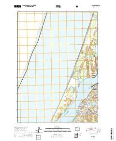 2020 Empire2020 Print · USGSCoastal Oregon at the turn of the decade shows a unique blend of industrial port life and dune recreation. Genealogists and researchers can trace local family sites at Empire Cem, navigate the North Spit trails, or locate the Southwest Oregon Regional Airport.
 - 2020 Map of Barklow Mountain, 2020 Print
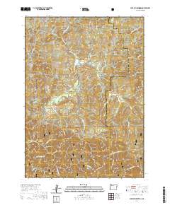 2020 Barklow Mountain2020 Print · USGSThe Oregon Coast Range in the 2020s remains a wild, high-elevation landscape defined by the Sixes River headwaters and the Siskiyou National Forest. Researchers can find isolated historical markers like Haines Cem and trace the timber-industry routes along N Fork Sixes River Rd.
 - 2020 Map of Illahe, 2020 Print
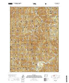 2020 Illahe2020 Print · USGSThe Rogue River wilderness of Curry County comes into sharp focus in these modern records of the mountain frontier. Researchers can pinpoint the site of Illahe and the Illahe Cem, or trace travel routes through Agness Pass and along Eden Ridge.
 - 2020 Map of Lakeside OE W, 2020 Print
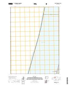 2020 Lakeside OE W2020 Print · USGSThe Oregon coast at the junction of Douglas and Coos counties is captured here in the years following the millennium. Genealogists and historians can trace the boundary of the Siuslaw National Forest as it meets the Pacific Ocean.
 - 2020 Map of Riverton, 2020 Print
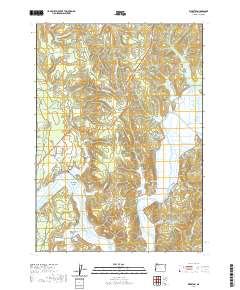 2020 Riverton2020 Print · USGSThe tidal Coquille River corridor and its surrounding valleys are captured here in the 2020s, showing a landscape of small river towns and family cemeteries. Researchers can trace the layout of Riverton, Randolph, and Parkersburg alongside features like Randolph Island and the Kronenberg Cem.
 - 2020 Map of Trail Butte, 2020 Print
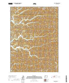 2020 Trail Butte2020 Print · USGSCoastal Oregon hill country and the intricate arms of the Tenmile lakes are shown here in the 2020s. Genealogists and local historians can trace the settlement at Templeton, the Templeton Cemetery, and landmarks like Tenmile Butte and Twin Sisters.
 - 2020 Map of Cape Arago, 2020 Print
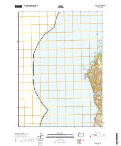 2020 Cape Arago2020 Print · USGSThe Coos County coastline is seen here in recent years, documenting the intricate shelf of reefs and coves south of Charleston. Researchers can trace land access along Seven Devils Rd to isolated landmarks like Sacchi Beach and Cape Arago.
 - 2020 Map of Coquille, 2020 Print
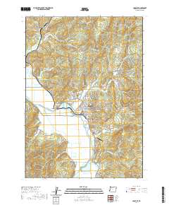 2020 Coquille2020 Print · USGSCoos County's river-driven landscape comes into focus during this 2020 survey, centered on the historic timber and ranching hub of Coquille. Genealogists and historians can locate the Independent Order of Odd Fellows Cem, the Coos County Courthouse, and the settlement at Coaledo.
Showing maps 1-25 of 90
Top cities of Coos County
- Coos Bay historical maps
- North Bend historical maps
- Coquille historical maps
- Bandon historical maps
- Myrtle Point historical maps
- Barview historical maps
See more
Frequently asked questions
- What are the different types of historical maps available for Coos County?
- What is the oldest map of Coos County?
- Where can I purchase historical maps of Coos County for my home or office?
- Where can I download high-res historical maps of Coos County?
- Are there historical topographic maps available for Coos County?
- Is there historical aerial imagery available for Coos County?
- Where are historical maps of Coos County sourced from?