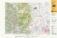
1990s Maps of Linn County, Oregon
Explore 29 historic maps of Linn County from the 1990s. These maps offer a rare glimpse into what life looked like during the 1990s — showing old roads, neighborhoods, homes, and landmarks that have changed or disappeared over time.
Whether you're researching your family's past, planning a metal detecting trip, or studying how Linn County's landscape evolved across the 1990s, these high-resolution maps are a powerful tool for exploring the history of this region.
- Focus on a specific era: All maps on this page are from the 1990s, giving you a focused view of this time period.
- See what’s changed: Compare century-old streets, trails, and buildings to today's modern landscape using overlays and satellite layers.
- Research with precision: Use these maps for genealogy, historical research, land use analysis, or educational projects.
- View, download, or print: Maps are fully viewable online in high resolution, and can be downloaded or printed for your own records.
Start exploring Linn County's history through authentic maps from the 1990s. This is your window into the past.
Linn County, OR maps
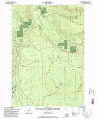
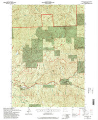
(29)- 1991 Map of North Santiam River, 1993 Print
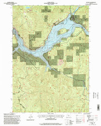
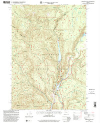
 1991 North Santiam River1993 Print · USGSMarion and Linn counties come into focus in the early 1990s as the Santiam River valley transitions from the Willamette Valley floor to the Cascade peaks. Researchers can trace timber and rail history through Mill City, locate family landmarks near Stayton, or explore the boundaries of Silver Falls State Park.
 - 1992 Map of Eugene
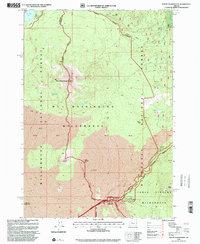
 1992 Eugene1992 Print · USGSThe Willamette Valley and Coast Range are captured in the early nineties, showing the growth of Eugene and Springfield. Researchers can trace timber history in the Siuslaw National Forest or locate valley settlements like Junction City and Harrisburg.
 - 1994 Map of Detroit, 1998 Print
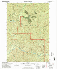
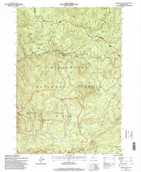
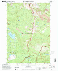
 1994 Detroit1998 Print · USGSIn the mid-1990s, the North Santiam canyon was a hub of water management and forest activity centered around the high-elevation reservoir. Historians can trace the development of Detroit and find the location of the Detroit Dam, Detroit Lake State Park, and the smaller settlement of Sparton.
 - 1994 Map of Quartzville, 1998 Print
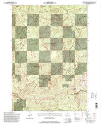
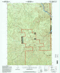
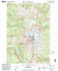
 1994 Quartzville1998 Print · USGSThe Cascades of Linn County are shown here in the 1990s, highlighting the transition from mining district to managed forest and wilderness. Researchers can trace the legacy of the Quartzville (Site) gold rush through features like the Albany Mine, Packers Gulch, and numerous Quarry locations along the Middle Santiam River.
 - 1994 Map of Harter Mountain, 1998 Print
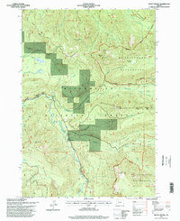
 1994 Harter Mountain1998 Print · USGSLinn County’s high Cascades come into focus during the mid-1990s, centering on the high-altitude transit routes through the Willamette National Forest. Researchers can trace the path of the Old Santiam Wagon Road and locate sites like Cool Camp and the Iron Mountain Lookout.
 - 1994 Map of Marion Forks, 1998 Print
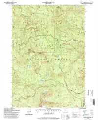
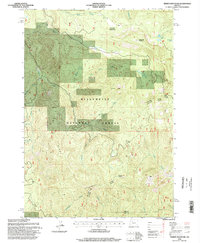
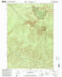
 1994 Marion Forks1998 Print · USGSThe Santiam canyon highlands come to life in the mid-nineties, centering on the remote outpost of Marion Forks. Researchers can trace the legacy of forest management and water use through landmarks like the State Fish Hatchery and the Marion Mountain Lookout House.
 - 1994 Map of Chimney Peak, 1998 Print
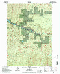
 1994 Chimney Peak1998 Print · USGSThe Oregon Cascades in the mid-1990s reveal a landscape of high-elevation peaks and protected forests. Researchers can trace the drainages of the Middle Santiam River and locate remote landmarks like the McQuade Creek Shelter and Chimney Peak.
 - 1994 Map of Echo Mountain, 1998 Print
 1994 Echo Mountain1998 Print · USGSLinn County’s high Cascades are shown here in the mid-1990s as a landscape of ancient forests and volcanic flows. You can trace the historic Santiam Wagon Road and explore landmarks like the Hackleman Old-Growth Grove, Fish Lake, and Echo Mountain.
 - 1994 Map of Coffin Mountain, 1998 Print
 1994 Coffin Mountain1998 Print · USGSThe Cascades of Linn County are shown here in the mid-1990s as a managed landscape of timber and trails. Researchers can trace high-altitude routes like the Old Cascade Crest Trail or locate remote water bodies such as Parish Lake and Daly Lake.
 - 1994 Map of Cascadia, 1998 Print
 1994 Cascadia1998 Print · USGSLinn County during the 1990s shows a landscape defined by the Santiam corridor and the expansive waters of Green Peter Lake. Genealogists and historians can trace the Old Santiam Road and locate sites like the Whitcomb Cem and the mineral waters of Soda Spring.
 - 1994 Map of Lawhead Creek, 1998 Print
 1994 Lawhead Creek1998 Print · USGSThe Cascade foothills of Linn County appear in the mid-1990s as a landscape of timber management and recreation. You can trace the rugged topography from Monument Peak down to the Detroit Lake Reservoir, or locate remote access points near Lawhead Creek and Potato Hill.
 - 1994 Map of Mount Bruno, 1998 Print
 1994 Mount Bruno1998 Print · USGSMarion and Linn counties meet in the high Cascades during the mid-nineties, where the North Santiam River divides the national forest. Hikers and historians can trace backcountry routes past McCoy Shelter, Bruno Lakes, and the heights of Mount Bruno.
 - 1994 Map of Tidbits Mountain, 1998 Print
 1994 Tidbits Mountain1998 Print · USGSLinn County’s high timber country in the mid-1990s is captured here just as modern Forest Service management was evolving. Researchers can trace the rugged drainages of the Calapooia River and find specific landmarks like Gordon Meadows, Tidbits Mountain, and Lost Lake.
 - 1994 Map of Elkhorn, 1998 Print
 1994 Elkhorn1998 Print · USGSThe North Santiam river corridor in the mid-1990s reveals a landscape of high timber country and riverfront settlements. Researchers can trace the layout of small communities like Elkhorn, Niagara, and Minto, alongside landmarks such as the Niagara Dam and Rocky Top.
 - 1994 Map of Idanha, 1998 Print
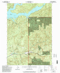
 1994 Idanha1998 Print · USGSThe mountain settlement of Idanha and the upper reaches of Detroit Lake are captured here during the mid-1990s. Researchers can trace the river-valley economy through local landmarks like the Gaging Station, Whispering Falls, and the Santiam State Forest.
 - 1994 Map of Upper Soda, 1998 Print
 1994 Upper Soda1998 Print · USGSThe Cascade foothills near the Santiam River are captured here in the mid-nineties as a blend of timber lands and wilderness. Researchers can trace the historic Santiam Wagon Road or locate local landmarks like Long Ranch, Fernview, and the Long Bow Organizational Camp.
 - 1997 Map of Farmers Butte, 2001 Print
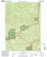
 1997 Farmers Butte2001 Print · USGSLinn County timberlands and the southern reaches of the Willamette National Forest are shown here during the late 1990s. Researchers can trace forest management roads and hydrology from Farmers Butte down to the Calapooia River and Cascada Falls.
 - 1997 Map of Mount Hagan, 2001 Print
 1997 Mount Hagan2001 Print · USGSThe high divide between the Calapooia and McKenzie rivers is shown here in the late 1990s as it winds through the Willamette National Forest. Local historians can trace early mountain access via 4WD tracks near King Camp or explore the riverfront geography of Finn Rock.
 - 1997 Map of Vida, 2001 Print
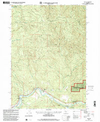 1997 Vida2001 Print · USGSThe McKenzie River valley in the late nineties is documented here, showing the community of Vida and its surrounding public lands. You can locate the historic Goodpasture Bridge (Covered) and the Leaburg Fish Hatchery along the river banks.
 - 1997 Map of Tamolitch Falls, 2001 Print
 1997 Tamolitch Falls2001 Print · USGSThe upper McKenzie River corridor in the late nineties showcases a landscape of hydroelectric power and forest recreation. Trace the waterway's development through Smith River Reservoir, the Spillway Powerplant, and the Mc Kenzie River National Recreation Trail.
 - 1997 Map of Mount Washington, 2001 Print
 1997 Mount Washington2001 Print · USGSOregon’s high volcanic spine at the close of the century reveals a landscape where historic pioneer routes meet modern wilderness protection. Trace the Santiam Wagon Road past the Cache Creek Toll Station and the Dee Wright Observatory near Mc Kenzie Pass.
 - 1997 Map of Clear Lake, 2001 Print
 1997 Clear Lake2001 Print · USGSLinn County during the late nineties showcases a high-country landscape shaped by volcanic activity and the McKenzie River headwaters. Trace the path of the McKenzie Pass Scenic Byway past Sahalie Falls, Clear Lake, and the remote Twin Craters.
 - 1997 Map of Marion Lake, 2001 Print
 1997 Marion Lake2001 Print · USGSThe Cascades backcountry at the turn of the millennium reveals a landscape shaped by volcanic peaks and alpine waters. Trace the Pacific Crest National Scenic Trail past Marion Lake to find the solitary John Swallow Grave.
 - 1997 Map of Mount Jefferson, 2001 Print
 1997 Mount Jefferson2001 Print · USGSThe high Cascade crest at Mount Jefferson comes into sharp focus during the late 1990s, where three counties and several national forests converge. Hikers and researchers can trace the Pacific Crest National Scenic Trail past Whitewater Glacier and remote alpine basins like Hunts Cove.
 - 1997 Map of Carpenter Mountain, 2001 Print
 1997 Carpenter Mountain2001 Print · USGSThe high Cascades of Linn and Lane counties are documented here in the late nineties, showing the vital intersection of timber management and forest research. Trace the drainages of Blue River and locate distinctive landmarks like Wolf Rock and Jumpoff Joe Mountain.
Showing maps 1-25 of 29
Top cities of Linn County
- Lebanon historical maps
- Sweet Home historical maps
- Harrisburg historical maps
- Brownsville historical maps
- Lyons historical maps
- Tangent historical maps
See more
Frequently asked questions
- What are the different types of historical maps available for Linn County?
- What is the oldest map of Linn County?
- Where can I purchase historical maps of Linn County for my home or office?
- Where can I download high-res historical maps of Linn County?
- Are there historical topographic maps available for Linn County?
- Is there historical aerial imagery available for Linn County?
- Where are historical maps of Linn County sourced from?