2000s (21st Century) Maps of Linn County, Oregon
Explore 321 historic maps of Linn County from the 2000s (21st Century). These maps offer a rare glimpse into what life looked like during the 2000s — showing old roads, neighborhoods, homes, and landmarks that have changed or disappeared over time.
Whether you're researching your family's past, planning a metal detecting trip, or studying how Linn County's landscape evolved across the 2000s, these high-resolution maps are a powerful tool for exploring the history of this region.
- Focus on a specific era: All maps on this page are from the 2000s, giving you a focused view of this time period.
- See what’s changed: Compare century-old streets, trails, and buildings to today's modern landscape using overlays and satellite layers.
- Research with precision: Use these maps for genealogy, historical research, land use analysis, or educational projects.
- View, download, or print: Maps are fully viewable online in high resolution, and can be downloaded or printed for your own records.
Start exploring Linn County's history through authentic maps from the 2000s. This is your window into the past.
Linn County, OR maps
(321)- 2011 Map of Upper Soda, 2011 Print
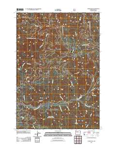 2011 Upper Soda2011 Print · USGSUpper Soda and the South Santiam River corridor are depicted here in the early 21st century, showing the intersection of logging roads and wild waterways. Researchers can trace forest access along Moose Mountain Rd and locate landmarks like Rooster Rock and Moose Lake.
 - 2011 Map of Tidbits Mountain, 2011 Print
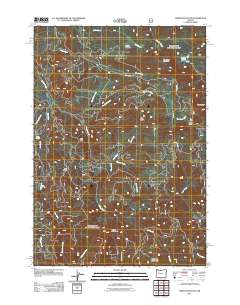 2011 Tidbits Mountain2011 Print · USGSThe high ridgelines of Lane County are documented here in the early twenty-first century, showing the headwaters of the Calapooia River. Researchers and hikers can trace remote landmarks like Pipe Rock, Gordon Meadows, and Bear Pass.
 - 2011 Map of Blue River, 2011 Print
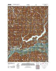 2011 Blue River2011 Print · USGSThe community of Blue River is captured here in the early twenty-first century, centered between its eponymous lake and the McKenzie River. Local historians can trace the network of mountain roads and water access points like Hamlin Boat Landing, Blue River Post Office, and Blue River Lake.
 - 2011 Map of Swamp Mountain, 2011 Print
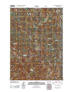 2011 Swamp Mountain2011 Print · USGSLinn County’s high timber country is shown here in the early twenty-first century, centered on the drainage basins of the Cascades. Map collectors can trace forest roads and hydrologic features like Flimflam Creek, Wiley Creek, and the Green Mountain Lookout Tower.
 - 2011 Map of Tamolitch Falls, 2011 Print
 2011 Tamolitch Falls2011 Print · USGSThe high Cascades of Lane County are documented here in the early twenty-first century, showing a landscape shaped by water power and conservation. Researchers can trace the drainage of Smith Reservoir and Carmen Reservoir or locate landmarks like Tamolitch Falls and Koosah Falls.
 - 2011 Map of Harter Mountain, 2011 Print
 2011 Harter Mountain2011 Print · USGSThe high ridges and river forks of Linn County are documented here in the early twenty-first century. Outdoor historians and researchers can trace access routes to remote locations like Shedd Camp Shelter, the meadows of Tombstone Prairie, and summits including Iron Mountain.
 - 2011 Map of Lawhead Creek, 2011 Print
 2011 Lawhead Creek2011 Print · USGSMarion County's high country is documented here during the early twenty-first century, showing the intersection of heavy timber access roads and major waterways. Researchers can trace the path of Lawhead Creek toward Detroit Lake or locate landmarks like Monument Peak and Slate Rock.
 - 2011 Map of Farmers Butte, 2011 Print
 2011 Farmers Butte2011 Print · USGSThe high country of Lane County during the early twenty-first century is a landscape of timber ridges and deep drainages. Researchers can trace the watersheds of the Calapooia River and Wiley Creek past summits like Farmers Butte and Buck Mountain.
 - 2011 Map of Elkhorn, 2011 Print
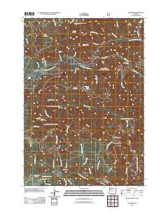 2011 Elkhorn2011 Print · USGSElkhorn and the banks of the North Santiam River are shown in this recent survey of the Oregon wilderness. Local researchers can trace old forest routes and landmarks like the Henline Mountain Lookout, the Niagara settlement, and several cascades such as Salmon Falls.
 - 2011 Map of Quartzville, 2011 Print
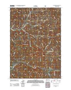 2011 Quartzville2011 Print · USGSLinn County mountain country is shown here in the early 21st century as a landscape of steep ridges and deep river drainages. Researchers can trace the waterways of the Middle Santiam River and locate historic sites like Quartzville and Lone Star.
 - 2011 Map of Detroit, 2011 Print
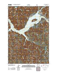 2011 Detroit2011 Print · USGSThe town of Detroit and its namesake reservoir are captured here during the early twenty-first century. Outdoor enthusiasts and local historians can trace the paths of Blowout Rd and Upper Divide Creek Rd through the high country past Stahlman Point and Piety Knob.
 - 2011 Map of Vida, 2011 Print
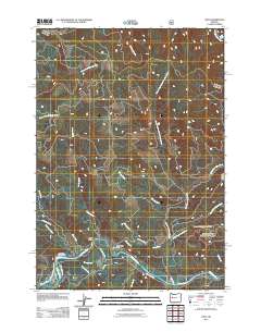 2011 Vida2011 Print · USGSLife along the McKenzie River in Lane County is captured here in the early twenty-first century. Researchers can trace local landmarks and infrastructure like the Vida Post Office, the McKenzie Trout Hatchery, and the Eugene Water and Electric Board Canal.
 - 2011 Map of Idanha, 2011 Print
 2011 Idanha2011 Print · USGSIdanha sits along the North Santiam River in the early twenty-first century, serving as a hub for timber and mountain recreation. Researchers can locate the Idanha Log Pond, New Idanha, and high-country landmarks like Bachelor Mountain and Bruno Meadows.
 - 2011 Map of Cascadia, 2011 Print
 2011 Cascadia2011 Print · USGSLinn County’s river valleys and reservoirs are captured here in the early twenty-first century as the South Santiam River flows through Cascadia. Researchers can locate the Whitcomb Island Cemetery near Green Peter Lake or trace the many cataracts like Moose Creek Falls.
 - 2011 Map of Chimney Peak, 2011 Print
 2011 Chimney Peak2011 Print · USGSLinn County's high Cascades come into focus during this early 21st-century survey of the Willamette National Forest. Researchers can trace the remote drainage networks of the Middle Santiam River and locate backcountry landmarks like McQuade Creek Shelter and Donaca Lake.
 - 2011 Map of Mount Hagan, 2011 Print
 2011 Mount Hagan2011 Print · USGSThe McKenzie River corridor and the heights of the Cascade foothills are captured here in the early twenty-first century. Genealogists and hikers can locate riverside sites like Finn Rock and Rennie Landing or trace the drainages of Wet Gulch and Doris Creek.
 - 2011 Map of Mount Bruno, 2011 Print
 2011 Mount Bruno2011 Print · USGSMarion County's high Cascade wilderness is documented in the early twenty-first century, showing a landscape defined by sharp peaks and river headwaters. Researchers can trace the rugged drainages of the North Santiam River and locate remote landmarks like Spire Rock, Peasley Lake, and Cheat Meadow.
 - 2011 Map of Mount Jefferson, 2011 Print
 2011 Mount Jefferson2011 Print · USGSThe high Cascades come into focus during this modern era, documenting the ice fields and alpine meadows surrounding the Oregon interior. Trace the glacial extent at Mount Jefferson and locate backcountry landmarks like Grizzly Flat and Jefferson Park.
 - 2011 Map of Marion Lake, 2011 Print
 2011 Marion Lake2011 Print · USGSHigh in the Cascades during the early twenty-first century, this alpine landscape is defined by its volcanic peaks and glacial lakes. Hikers and historians can trace routes through Minto Pass or locate remote landmarks like Camp Marion, Gatch Falls, and The Table.
 - 2011 Map of Marion Forks, 2011 Print
 2011 Marion Forks2011 Print · USGSLinn County’s high country is captured here during the early twenty-first century, showing the forest roads and river confluences of the Cascades. Researchers can locate the mountain outpost of Marion Forks and trace backcountry landmarks like Camp Pioneer or the cascades of Marion Falls.
 - 2011 Map of Mount Washington, 2011 Print
 2011 Mount Washington2011 Print · USGSHigh in the Cascades during the early 2010s, this area centers on the volcanic peaks and historical transit routes of the high desert fringe. Trace the path of the Old Santiam Wagon Rd and locate landmarks like the Dee Wright Observatory and Lava Camp Lake.
 - 2011 Map of Santiam Junction, 2011 Print
 2011 Santiam Junction2011 Print · USGSThe high Cascades of Linn County are captured here in the early twenty-first century as a landscape of historic transit and modern recreation. Trace the path of the Old Santiam Wagon Rd past volcanic landmarks like Hoodoo Butte and Sand Mountain.
 - 2011 Map of Carpenter Mountain, 2011 Print
 2011 Carpenter Mountain2011 Print · USGSThe high Cascades of Lane County are mapped in detail here during the early twenty-first century. Researchers can trace the complex network of forest roads and hydrologic features like Wolf Rock, Blue River, and the slopes of Carpenter Mountain.
 - 2011 Map of Three Fingered Jack, 2011 Print
 2011 Three Fingered Jack2011 Print · USGSHigh in the Oregon Cascades during the early 2010s, this area centers on the volcanic peaks and alpine lakes surrounding Santiam Pass. Outdoor historians and researchers can trace the footprint of Blue Lake Resort, Camp Tamarack, and the iconic Three Fingered Jack.
 - 2011 Map of Echo Mountain, 2011 Print
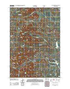 2011 Echo Mountain2011 Print · USGSLinn County’s high-country terrain is captured here in the early twenty-first century, featuring the intersection of historic transportation and wilderness. Trace the path of the Old Santiam Wagon Rd and locate sites like Lost Prairie and the Fish Lake Remount Depot.
Showing maps 1-25 of 321
Top cities of Linn County
- Lebanon historical maps
- Sweet Home historical maps
- Harrisburg historical maps
- Brownsville historical maps
- Lyons historical maps
- Tangent historical maps
See more
Frequently asked questions
- What are the different types of historical maps available for Linn County?
- What is the oldest map of Linn County?
- Where can I purchase historical maps of Linn County for my home or office?
- Where can I download high-res historical maps of Linn County?
- Are there historical topographic maps available for Linn County?
- Is there historical aerial imagery available for Linn County?
- Where are historical maps of Linn County sourced from?