2020s Maps of Linn County, Oregon
Explore 129 historic maps of Linn County from the 2020s. These maps offer a rare glimpse into what life looked like during the 2020s — showing old roads, neighborhoods, homes, and landmarks that have changed or disappeared over time.
Whether you're researching your family's past, planning a metal detecting trip, or studying how Linn County's landscape evolved across the 2020s, these high-resolution maps are a powerful tool for exploring the history of this region.
- Focus on a specific era: All maps on this page are from the 2020s, giving you a focused view of this time period.
- See what’s changed: Compare century-old streets, trails, and buildings to today's modern landscape using overlays and satellite layers.
- Research with precision: Use these maps for genealogy, historical research, land use analysis, or educational projects.
- View, download, or print: Maps are fully viewable online in high resolution, and can be downloaded or printed for your own records.
Start exploring Linn County's history through authentic maps from the 2020s. This is your window into the past.
Linn County, OR maps
(129)- 2020 Map of Idanha, 2020 Print
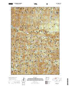 2020 Idanha2020 Print · USGSNear the Marion and Linn county line, this recent survey captures the timber and river country around Idanha in the early twenty-first century. Researchers can trace forest access routes and water features like the North Santiam River, Cold Spring Reservoir, and Rainbow Lake.
 - 2020 Map of Cascadia, 2020 Print
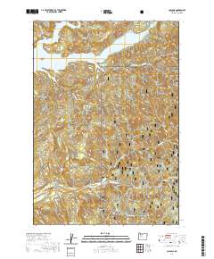 2020 Cascadia2020 Print · USGSThe Cascadia region of the Oregon Cascades is shown here in the 2020s, dominated by the waters of the Santiam and the surrounding national forest. Researchers can trace forest access routes and locate numerous landmarks like Garland Bridge, Rainbow Falls, and Whitcomb Island.
 - 2020 Map of Mount Bruno, 2020 Print
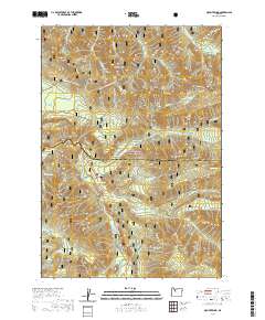 2020 Mount Bruno2020 Print · USGSMarion and Linn counties meet in this high-altitude section of the Cascades during the early twenty-first century. Researchers can trace specialized winter transit paths like the McCoy #3 - Outerson Route (Snow) and locate remote landmarks such as Bruno Lakes, Minto Mtn, and Wild Cheat Meadow.
 - 2020 Map of Scio, 2020 Print
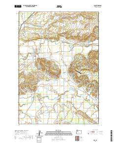 2020 Scio2020 Print · USGSLinn County agriculture and local history converge in this survey of the valley near the turn of the decade. Genealogists can locate family sites at Miller Cem and Franklin Butte Cem, while tracing rural landmarks like Schimanek Bridge and Shelburn.
 - 2020 Map of Jordan, 2020 Print
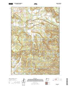 2020 Jordan2020 Print · USGSLinn County's timbered hills and rural valleys are captured in the late 2010s, showing a landscape defined by creeks and historic family settlements. Genealogists can trace several local burial sites like Bilyeu Cem or find crossings such as Jordan Bridge and Hannah Bridge.
 - 2020 Map of Union Point, 2020 Print
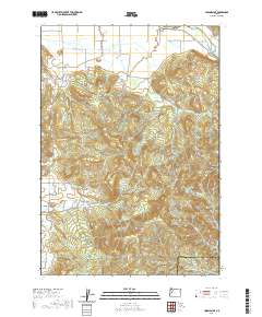 2020 Union Point2020 Print · USGSThe foothills of the Cascades meet the Willamette Valley in this recent survey of the Linn and Lane county line. Genealogists and hikers can trace the geography of family-named landmarks and crossings, including Diamond Hill, the McKercher Bridge, and the heights of Bald Mountain.
 - 2020 Map of Chimney Peak, 2020 Print
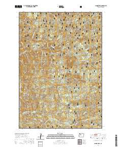 2020 Chimney Peak2020 Print · USGSLinn County’s high Cascades are documented here in the early twenty-first century, showing the remote drainages of the Willamette National Forest. Outdoor historians and topographic researchers can trace the course of the Middle Santiam River and locate distinct landmarks like Donaca Lake and McNabb Falls.
 - 2020 Map of Coffin Mountain, 2020 Print
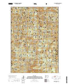 2020 Coffin Mountain2020 Print · USGSThe high Cascades of Linn County are captured here in the early twenty-first century, showing a wilderness of sharp peaks and alpine basins. Trace the trails leading to the Coffin Lookout and locate remote water bodies like Parish Lake and Riggs Lake.
 - 2020 Map of Yellowstone Mountain, 2020 Print
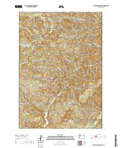 2020 Yellowstone Mountain2020 Print · USGSThe Oregon Cascades in Linn County are shown here in recent detail, dominated by high peaks and sharp river drainages. Researchers can trace forest access routes and water features including Crabtree Lake, Cascade Falls, and the summit of Yellowstone Mtn.
 - 2020 Map of Echo Mountain, 2020 Print
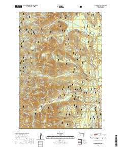 2020 Echo Mountain2020 Print · USGSThe Oregon Cascades in the modern era still follow the historical corridor of the Santiam Wagon Road W through the Willamette National Forest. Researchers can trace old mountain routes near Lost Prairie, Fish Lake, and the Hackleman O.G. Grove.
 - 2020 Map of Keel Mountain, 2020 Print
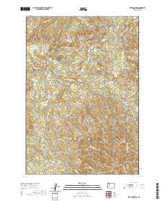 2020 Keel Mountain2020 Print · USGSLinn County’s high country is captured here in the late twenty-teens, showing a landscape defined by steep ridges and mountain watersheds. Outdoor enthusiasts and geologists can trace the rugged topography around Keel Mtn, Lost Dog Rock, and Billy Lake.
 - 2020 Map of Upper Soda, 2020 Print
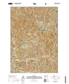 2020 Upper Soda2020 Print · USGSThe South Santiam River corridor in Linn County appears here in the modern era, dominated by the dense timberlands of the Willamette National Forest. Researchers can trace the historic Santiam Wagon Road W near Upper Soda or locate high-country features like Gordon Lakes.
 - 2020 Map of Mount Nebo, 2020 Print
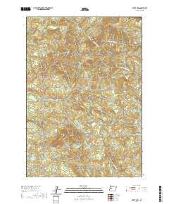 2020 Mount Nebo2020 Print · USGSThe foothills of Lane County are mapped here in the modern era, showing the rugged headwaters of the Mohawk River. You can trace the drainage basins of Mill Cr and Oshkosh Cr as they flow around landmarks like Mt Nebo and Oshkosh Mtn.
 - 2020 Map of Mill City South, 2020 Print
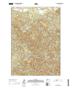 2020 Mill City South2020 Print · USGSMill City and the surrounding Oregon foothills are documented in the twenty-first century as the area balances its timber heritage with aviation and recreation. Researchers can trace land divisions near Fairview Cem or locate Davis Airport alongside natural landmarks like Potato Hill and Thomas Cr.
 - 2020 Map of Crawfordsville, 2020 Print
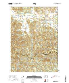 2020 Crawfordsville2020 Print · USGSLinn County’s southern foothills come into focus in the contemporary era, centered on the Calapooia River valley. Genealogists and local historians can trace family-named sites such as the Crawfordsville Union Cem, the Matlock Bridge, and the Independent Order of Odd Fellows Cem.
 - 2020 Map of Detroit, 2020 Print
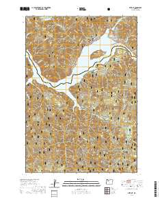 2020 Detroit2020 Print · USGSThe mountain settlement of Detroit and the vast Detroit Lake reservoir are the centerpieces of this modern survey. Genealogists and researchers can trace the rugged topography of the Willamette National Forest through landmarks like Piety Knob and Stahlman Point.
 - 2020 Map of Sweet Home, 2020 Print
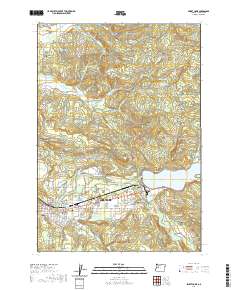 2020 Sweet Home2020 Print · USGSSweet Home and the South Santiam River valley are shown here in the early twenty-first century, highlighting a landscape shaped by timber and water. Researchers can locate family heritage sites like Ames Cem and Wiley Cem or trace old routes through Berlin and Lower Pleasant Valley.
 - 2020 Map of Green Peter, 2020 Print
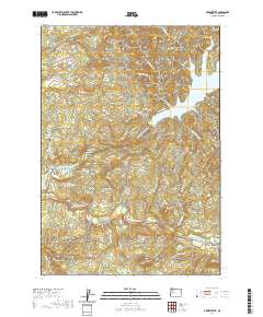 2020 Green Peter2020 Print · USGSThe Santiam river valleys of Linn County are documented here in the early twenty-first century as centers of timber and water management. Researchers can trace land patterns around Cascadia, locate the Spring Family Cem, and follow the banks of Green Peter Lake.
 - 2020 Map of Harter Mountain, 2020 Print
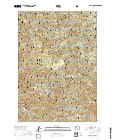 2020 Harter Mountain2020 Print · USGSThe Willamette National Forest in the contemporary era remains a landscape defined by its historic transit routes and peaks. Researchers can trace the Santiam Wagon Road W and identify landmarks like Iron Mountain and Tombstone Pass.
 - 2020 Map of Lawhead Creek, 2020 Print
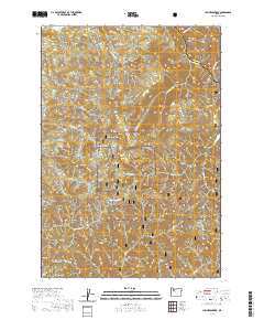 2020 Lawhead Creek2020 Print · USGSMarion and Linn counties meet along the high ridges of the Cascades in this modern survey of the timbered uplands. Researchers can trace the complex network of mountain drainages from Lawhead Cr and Thomas Cr to high points like Monument Peak and Slate Rock.
 - 2020 Map of Chandler Mountain, 2020 Print
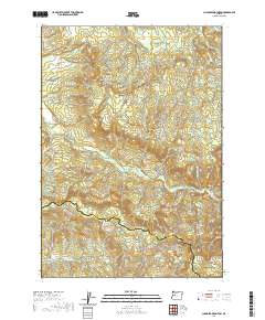 2020 Chandler Mountain2020 Print · USGSCalapooia and the surrounding drainage basins of the Cascade foothills are shown here in the early twenty-first century. Researchers can trace the rugged topography from Cassnor Peak down to the Calapooia River and identify routes like Upper Calapooia Dr.
 - 2020 Map of Quartzville, 2020 Print
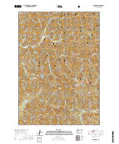 2020 Quartzville2020 Print · USGSLinn County’s high-elevation mining and forest lands are documented here during the 2020s, centered on the historic Quartzville area. Trace the rugged terrain of the Willamette National Forest along Galena Ridge and the Middle Santiam River.
 - 2020 Map of Waterloo, 2020 Print
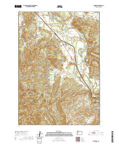 2020 Waterloo2020 Print · USGSLinn County’s river valleys and forested ridges are captured in detail during this 2020 survey of the South Santiam River corridor. Researchers can trace local history through the sites of Sodaville Mineral Springs, Klum Cem, and the rural community of Santiam Terrace.
 - 2020 Map of Snow Peak, 2020 Print
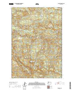 2020 Snow Peak2020 Print · USGSMarion and Linn counties appear at this modern moment, highlighting the high-elevation terrain of Snow Peak and the surrounding wilderness. Researchers can trace the water systems of Jordan Cr and Indian Prairie Lake or locate remote points like Devils Den.
 - 2020 Map of Lacomb, 2020 Print
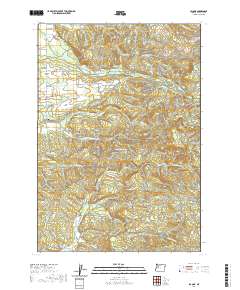 2020 Lacomb2020 Print · USGSLacomb and the Linn County foothills are shown here in the contemporary era, where valley farms meet the timbered heights of the Cascades. Genealogists and local historians can trace the rural layout surrounding Lacomb Cem, the historic Weddle Covered Bridge, and the site of Fords Mill.
Showing maps 1-25 of 129
Top cities of Linn County
- Lebanon historical maps
- Sweet Home historical maps
- Harrisburg historical maps
- Brownsville historical maps
- Lyons historical maps
- Tangent historical maps
See more
Frequently asked questions
- What are the different types of historical maps available for Linn County?
- What is the oldest map of Linn County?
- Where can I purchase historical maps of Linn County for my home or office?
- Where can I download high-res historical maps of Linn County?
- Are there historical topographic maps available for Linn County?
- Is there historical aerial imagery available for Linn County?
- Where are historical maps of Linn County sourced from?