2020s Maps of Marion County, Oregon
Explore 97 historic maps of Marion County from the 2020s. These maps offer a rare glimpse into what life looked like during the 2020s — showing old roads, neighborhoods, homes, and landmarks that have changed or disappeared over time.
Whether you're researching your family's past, planning a metal detecting trip, or studying how Marion County's landscape evolved across the 2020s, these high-resolution maps are a powerful tool for exploring the history of this region.
- Focus on a specific era: All maps on this page are from the 2020s, giving you a focused view of this time period.
- See what’s changed: Compare century-old streets, trails, and buildings to today's modern landscape using overlays and satellite layers.
- Research with precision: Use these maps for genealogy, historical research, land use analysis, or educational projects.
- View, download, or print: Maps are fully viewable online in high resolution, and can be downloaded or printed for your own records.
Start exploring Marion County's history through authentic maps from the 2020s. This is your window into the past.
Marion County, OR maps
(97)- 2020 Map of Saint Paul, 2020 Print
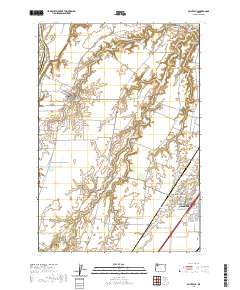 2020 Saint Paul2020 Print · USGSMarion County's historic agricultural heartland comes into focus in this contemporary survey of the French Prairie region. Researchers can trace family sites near St. Paul or locate old burial grounds like Champoeg Cem and Fairfield Cem along the Willamette River.
 - 2020 Map of Dundee, 2020 Print
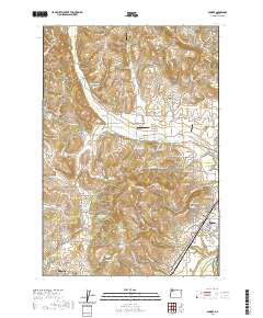 2020 Dundee2020 Print · USGSYamhill County wine country and the northern Willamette Valley are captured here just as the modern agricultural landscape was maturing. Genealogists can locate family landmarks like Noble Cem and Lafayette Pioneer Cem or trace the drainage of Chehalem Cr.
 - 2020 Map of Idanha, 2020 Print
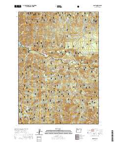 2020 Idanha2020 Print · USGSNear the Marion and Linn county line, this recent survey captures the timber and river country around Idanha in the early twenty-first century. Researchers can trace forest access routes and water features like the North Santiam River, Cold Spring Reservoir, and Rainbow Lake.
 - 2020 Map of Mount Bruno, 2020 Print
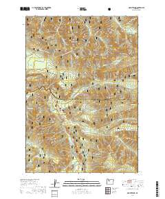 2020 Mount Bruno2020 Print · USGSMarion and Linn counties meet in this high-altitude section of the Cascades during the early twenty-first century. Researchers can trace specialized winter transit paths like the McCoy #3 - Outerson Route (Snow) and locate remote landmarks such as Bruno Lakes, Minto Mtn, and Wild Cheat Meadow.
 - 2020 Map of Mother Lode Mountain, 2020 Print
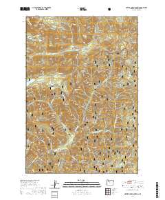 2020 Mother Lode Mountain2020 Print · USGSThe Oregon Cascades at the meeting point of the Mount Hood and Willamette National Forests are captured here in the 2020s. Researchers can locate remote landmarks like the Gold Butte Lookout or trace the course of the Breitenbush River past Humbug Flats.
 - 2020 Map of Drake Crossing, 2020 Print
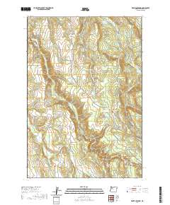 2020 Drake Crossing2020 Print · USGSMarion County high country and the waterfall-rich canyons of the Cascades are captured in this recent record of the region. Genealogists and local historians can trace legacy sites like Union Hill Cem or explore the many falls including Drake Falls and South Falls.
 - 2020 Map of Stayton NE, 2020 Print
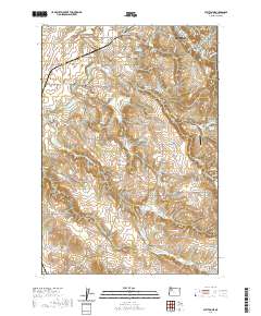 2020 Stayton NE2020 Print · USGSMarion County agriculture and the foothills of the Waldo Hills are on display in this contemporary look at the Silverton area. Researchers can trace family history through numerous rural burial sites like Mount Hope Cem and Dickens Cem.
 - 2020 Map of Battle Ax, 2020 Print
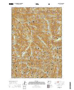 2020 Battle Ax2020 Print · USGSCovers Marion County, including United States, Oregon, and other nearby areas
 - 2020 Map of Detroit, 2020 Print
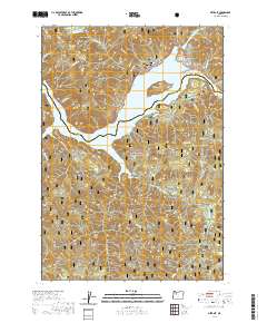 2020 Detroit2020 Print · USGSThe mountain settlement of Detroit and the vast Detroit Lake reservoir are the centerpieces of this modern survey. Genealogists and researchers can trace the rugged topography of the Willamette National Forest through landmarks like Piety Knob and Stahlman Point.
 - 2020 Map of Lawhead Creek, 2020 Print
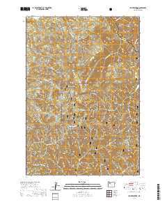 2020 Lawhead Creek2020 Print · USGSMarion and Linn counties meet along the high ridges of the Cascades in this modern survey of the timbered uplands. Researchers can trace the complex network of mountain drainages from Lawhead Cr and Thomas Cr to high points like Monument Peak and Slate Rock.
 - 2020 Map of Salem East, 2020 Print
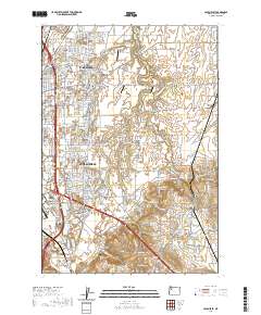 2020 Salem East2020 Print · USGSThe eastern edges of Salem meet the agricultural expanses of the Willamette Valley in this modern survey. Local historians can trace the growth of Four Corners and locate heritage sites like Stipp Memorial Cem and the Howell Cem.
 - 2020 Map of Snow Peak, 2020 Print
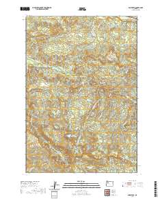 2020 Snow Peak2020 Print · USGSMarion and Linn counties appear at this modern moment, highlighting the high-elevation terrain of Snow Peak and the surrounding wilderness. Researchers can trace the water systems of Jordan Cr and Indian Prairie Lake or locate remote points like Devils Den.
 - 2020 Map of Stout Mountain, 2020 Print
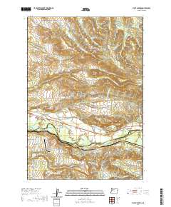 2020 Stout Mountain2020 Print · USGSThe North Santiam River valley and the foothills of the Cascades are documented here in the early twenty-first century as they border Marion and Linn counties. Genealogists and local researchers can trace family landmarks like Pietrock Cem, the settlement of Mehama, and rural airstrips including Kingston Airpark.
 - 2020 Map of Stayton, 2020 Print
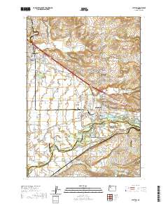 2020 Stayton2020 Print · USGSThe fertile plains of the Santiam Valley come into focus in this recent study of the corridor between Aumsville and STAYTON. Genealogists and local historians can locate numerous pioneer burial sites like Anderson Lone Fir Pioneer Cemetery and landmarks such as the Jordan Bridge.
 - 2020 Map of Bull of the Woods, 2020 Print
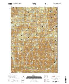 2020 Bull of the Woods2020 Print · USGSThe Oregon Cascades high country along the Clackamas and Marion county line is documented here in the early twenty-first century. Researchers can trace the rugged geography of the Bull Of The Woods area, locating the Mother Lode and alpine waters like Welcome Lakes.
 - 2020 Map of Wilhoit, 2020 Print
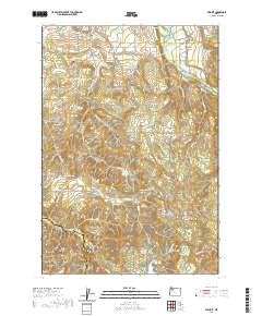 2020 Wilhoit2020 Print · USGSThe foothills of the Cascade Range come into focus in this recent survey of the Clackamas County backcountry. Researchers can locate the site of Wilhoit Mineral Springs and trace local family history through Dart Cem and Russellville Cem.
 - 2020 Map of Mount Lowe, 2020 Print
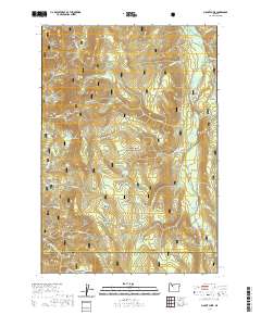 2020 Mount Lowe2020 Print · USGSMount Hood National Forest is shown here in the contemporary era as a protected wilderness at the border of Clackamas and Marion counties. Local history researchers can trace the high ridges and water sources of the region, from Mt Lowe and Graham Pass to the remote Tarzan Springs.
 - 2020 Map of Sherwood, 2020 Print
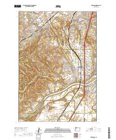 2020 Sherwood2020 Print · USGSThe northern Willamette Valley and Tualatin Valley intersect here in a landscape of historic river settlements and rising hills. Genealogists and historians can trace family locations through sites like Butteville Cem, Middleton, and the Willamette River shoreline.
 - 2020 Map of Woodburn, 2020 Print
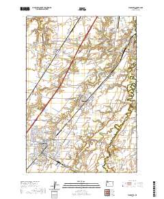 2020 Woodburn2020 Print · USGSMarion County agriculture and northern Willamette Valley settlements thrive during this era of modern growth. Researchers can trace rural lineages at Old Colony Cem, locate the Hubbard Mineral Spring, and explore the developed streets of Woodburn.
 - 2020 Map of Breitenbush Hot Springs, 2020 Print
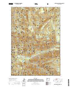 2020 Breitenbush Hot Springs2020 Print · USGSMarion County’s geothermal and forest lands are captured in 2020, centered on the retreat at Breitenbush Hot Springs. Researchers can trace the drainages of the Collawash Wild and Scenic River and locate high-altitude landmarks like Hawk Mtn Lookout and Claggett Lake.
 - 2020 Map of Canby, 2020 Print
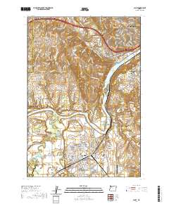 2020 Canby2020 Print · USGSThe northern Willamette Valley comes alive in this survey, showcasing the river's winding path through the growing communities of Canby and West Linn. Local historians can trace several significant burial grounds like Meridian Cem and Canemah Cem or locate the distinctive Dietz Airpark.
 - 2020 Map of Pinhead Buttes, 2020 Print
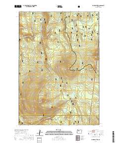 2020 Pinhead Buttes2020 Print · USGSHigh Cascades wilderness in the Mount Hood National Forest is defined by volcanic peaks and high-meadow springs in this modern survey. Hikers and researchers can trace the Pacific Crest National Scenic Trail as it passes North Pinhead Butte and the headwaters of the Warm Springs River.
 - 2020 Map of Olallie Butte, 2020 Print
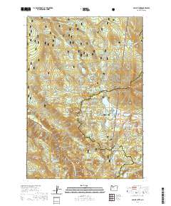 2020 Olallie Butte2020 Print · USGSThe Oregon Cascades come into focus in this contemporary survey of the high lake country where three counties meet. Track the Pacific Crest National Scenic Trail past dozens of alpine waters like Olallie Lake and landmarks including Olallie Butte and Double Peaks.
 - 2020 Map of Silverton, 2020 Print
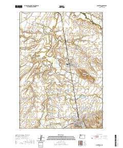 2020 Silverton2020 Print · USGSThe eastern Willamette Valley is captured here in recent years, showing a landscape defined by historic settlements and the winding Pudding River. Genealogists and historians can locate numerous early burial sites like Bethany Pioneer Cem and the landmark Gallon House Bridge.
 - 2020 Map of Fort Butte, 2020 Print
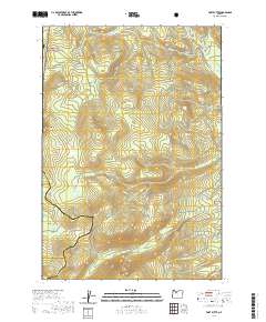 2020 Fort Butte2020 Print · USGSHigh-altitude ridges and meadowlands at the meeting point of three counties are preserved in this recent survey. Hikers and researchers can trace the Pacific Crest National Scenic Trail past Ft Butte, Lemiti Meadow, and Camas Prairie.
Showing maps 1-25 of 97
Top cities of Marion County
- Salem historical maps
- Keizer historical maps
- Woodburn historical maps
- Silverton historical maps
- Stayton historical maps
- Mount Angel historical maps
See more
Frequently asked questions
- What are the different types of historical maps available for Marion County?
- What is the oldest map of Marion County?
- Where can I purchase historical maps of Marion County for my home or office?
- Where can I download high-res historical maps of Marion County?
- Are there historical topographic maps available for Marion County?
- Is there historical aerial imagery available for Marion County?
- Where are historical maps of Marion County sourced from?