2000s (21st Century) Maps of Tennessee
Explore 4,111 historic maps of Tennessee from the 2000s (21st Century). These maps offer a rare glimpse into what life looked like during the 2000s — showing old roads, neighborhoods, homes, and landmarks that have changed or disappeared over time.
Whether you're researching your family's past, planning a metal detecting trip, or studying how Tennessee's landscape evolved across the 2000s, these high-resolution maps are a powerful tool for exploring the history of this region.
- Focus on a specific era: All maps on this page are from the 2000s, giving you a focused view of this time period.
- See what’s changed: Compare century-old streets, trails, and buildings to today's modern landscape using overlays and satellite layers.
- Research with precision: Use these maps for genealogy, historical research, land use analysis, or educational projects.
- View, download, or print: Maps are fully viewable online in high resolution, and can be downloaded or printed for your own records.
Start exploring Tennessee's history through authentic maps from the 2000s. This is your window into the past.
Tennessee maps
(4,111)- 2000 Map of Thunderhead Mtn, 2001 Print
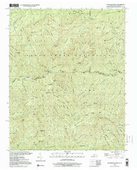 2000 Thunderhead Mtn2001 Print · USGSThe Tennessee-North Carolina border at the start of the 2000s remains a wild corridor of high-elevation gaps and remote ridges. Hikers and historians can trace the Appalachian Trail over Thunderhead Mtn and locate landmarks like Indian Flats Falls and Big Chestnut Bald.
 - 2000 Map of Silers Bald, 2001 Print
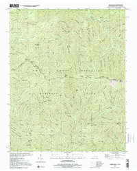 2000 Silers Bald2001 Print · USGSThe high divide of the Great Smoky Mountains is captured here at the turn of the millennium, showing the state line between Sevier County and Swain County. Hikers and historians can trace the Appalachian National Scenic Trail past Silers Bald, Double Spring Gap, and Mt Buckley.
 - 2000 Map of Barthell SW, 2001 Print
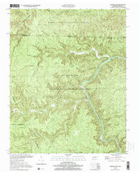 2000 Barthell SW2001 Print · USGSThe South Fork Cumberland River divides the Tennessee and Kentucky borderlands at the turn of the millennium. Researchers can find old family sites like Slaven Cem and historical rural outposts including No Business Sch and Anderson.
 - 2000 Map of Cades Cove, 2001 Print
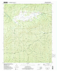 2000 Cades Cove2001 Print · USGSCades Cove at the turn of the millennium remains a significant site for tracing Appalachian homesteading and early mountain life. Researchers can locate family landmarks like the Henry Whitehead Cabin, Carter Shields Place, and several Cem sites preserved within the park.
 - 2000 Map of Mount Guyot, 2001 Print
 2000 Mount Guyot2001 Print · USGSThe high crest of the Smokies at the turn of the millennium remains a wilderness of named peaks and mountain trails along the state line. Trace the path of the Appalachian National Scenic Trail past Mount Guyot, Charles Bunion, and Tricorner Knob.
 - 2000 Map of Tapoco, 2001 Print
 2000 Tapoco2001 Print · USGSThe North Carolina-Tennessee borderlands appear here just as the new millennium began, dominated by the dams and wilderness of the Great Smoky Mountains. Trace the routes of hydroelectric development at Che Oah Dam or find local landmarks like Bethel Ch and Beers Sch.
 - 2000 Map of Clingmans Dome, 2001 Print
 2000 Clingmans Dome2001 Print · USGSHigh atop the border of North Carolina and Tennessee in the early 2000s, this area showcases the heart of the Smokies. Trace the highest ridges of the Great Smoky Mountains National Park along the Appalachian Scenic Trail from Clingmans Dome to Newfound Gap.
 - 2000 Map of Sharp Place, 2001 Print
 2000 Sharp Place2001 Print · USGSThe Kentucky and Tennessee borderlands appear in this detailed survey of the Upper Cumberland Plateau. Genealogists and historians can trace family roots at Sharp Place, Akers Chapel, and the Blevins Cem near Hazard Cave.
 - 2000 Map of Luftee Knob, 2001 Print
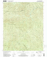 2000 Luftee Knob2001 Print · USGSThe high ridges of the Great Smokies meet at the border of North Carolina and Tennessee in this early twenty-first-century survey. Hikers and historians can trace the Appalachian Trail across Cosby Knob and locate the path of an Old Railroad Grade near Balsam High Top.
 - 2000 Map of Honey Creek, 2001 Print
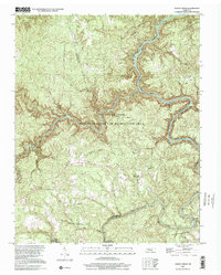 2000 Honey Creek2001 Print · USGSScott and Fentress Counties appear here at the turn of the millennium, centered on the confluence of the Cumberland River's forks. Genealogists and local historians can trace the foundations of mountain life through Honey Creek School, the Old Railroad Grade at Zenith, and Mt Helen Ch.
 - 2000 Map of Windrock, 2001 Print
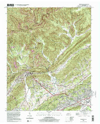 2000 Windrock2001 Print · USGSAnderson County at the turn of the millennium shows a landscape defined by ridge-top mining and valley settlements. Genealogists can locate family landmarks like Duncan Cem, Tupper Town, and the Atomic Energy Museum near Oak Ridge.
 - 2000 Map of Calderwood, 2001 Print
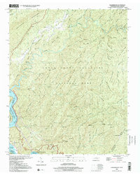 2000 Calderwood2001 Print · USGSThe Tennessee and North Carolina borderlands come into focus at the turn of the millennium, showing where the wilderness of the Smokies meets the dammed Little Tennessee River. Researchers can trace historic routes like the Cooper Road Trail or locate the Happy Valley Ch and the industrial Quarry near Calderwood.
 - 2000 Map of Gatlinburg, 2001 Print
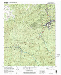 2000 Gatlinburg2001 Print · USGSGatlinburg and the northern Smokies appear here at the turn of the millennium, showing the transition from mountain resort to protected wilderness. Researchers can locate family cemeteries like Beech Grove Cem and legacy sites such as Elkmont and Starkeytown.
 - 2000 Map of Camp Hill, 2003 Print
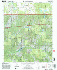 2000 Camp Hill2003 Print · USGSThe northern border of Benton County is mapped here around the turn of the century as the Holly Springs National Forest surrounds small timberlands. Researchers can trace rural landmarks like New Canaan, Zion Chapel, and the Medlock Ch.
 - 2000 Map of Walnut, 2003 Print
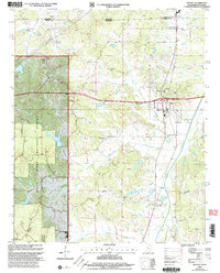 2000 Walnut2003 Print · USGSThe borderlands of Mississippi and Tennessee appear here at the turn of the millennium, centered on the growing town of Walnut. Researchers can trace rural lineages through numerous sites like New Salem Cem, Holiness Ch, and the outlying settlement of Tiplersville.
 - 2000 Map of Canaan, 2003 Print
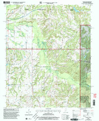 2000 Canaan2003 Print · USGSThe Tennessee-Mississippi borderlands at the start of the 2000s reveal a quiet landscape of forest preserves and family homesteads. Genealogists can trace decades of community roots through Michigan City and numerous rural landmarks like Harris Chapel or McKenzie Cem.
 - 2003 Map of Unicoi
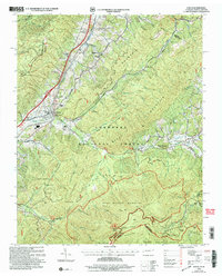 2003 Unicoi2003 Print · USGSThe valleys and high ridges of Unicoi County are captured here just after the turn of the millennium. Researchers can trace family sites like Swingle Cem, explore the early Appalachian Trail route, or locate local landmarks like Laughren Chapel and Marbleton.
 - 2003 Map of Chuckey, 2004 Print
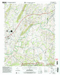 2003 Chuckey2004 Print · USGSEastern Tennessee at the turn of the millennium shows a landscape defined by the NOLICHUCKY RIVER and the NORFOLK SOUTHERN line. Trace local history through Rheatown, Dotsontown, and family-named landmarks like Jordan Knob.
 - 2003 Map of Calderwood, 2004 Print
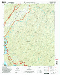 2003 Calderwood2004 Print · USGSThe Great Smoky Mountains and the Little Tennessee River valley are captured here just after the turn of the millennium. Researchers can trace the shoreline of Chilhowee Lake, locate the community of Calderwood, and find remote landmarks like Abrams Falls and Parson Bald.
 - 2003 Map of Baldwin Gap, 2004 Print
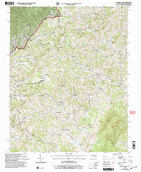 2003 Baldwin Gap2004 Print · USGSThe high ridges of the North Carolina and Tennessee border come alive in this early 2000s survey of the Appalachian highlands. Genealogists can trace family landmarks like the Winebarger Cemetery, Forge School, and the Rock Creek Baptist Church.
 - 2003 Map of Grayson, 2004 Print
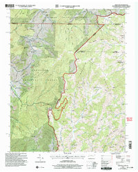 2003 Grayson2004 Print · USGSThe tri-state borderlands of Tennessee, Virginia, and North Carolina are mapped here during the early 2000s. Researchers can locate remote family landmarks and rural institutions, from Burnt School Cem to Farmers Store and Big Laurel Ch.
 - 2003 Map of Farner, 2004 Print
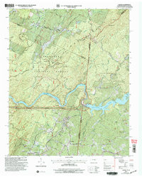 2003 Farner2004 Print · USGSThe Tennessee and North Carolina borderlands come into focus at the dawn of the new millennium, showcasing the interaction of the river and the national forests. Researchers can trace family history through sites like River Hill Cem, Cataska Ch, and the settlement of Ironsburg.
 - 2003 Map of Davy Crockett Lake, 2004 Print
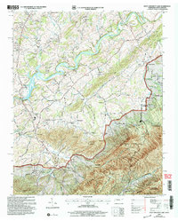 2003 Davy Crockett Lake2004 Print · USGSGreene County is shown at the turn of the century as the mountain landscape meets the Nolichucky River. Local historians can trace old thoroughfares like Stagecoach Road and locate rural landmarks such as Staunton Mill and Bernard Chapel.
 - 2003 Map of Cedar Creek, 2004 Print
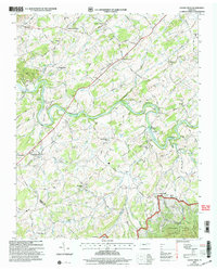 2003 Cedar Creek2004 Print · USGSIn the early twenty-first century, the river valleys of Greene and Cocke counties maintained a landscape of established family crossroads and rural landmarks. Researchers can locate the Meadow Creek Mill, the De Busk Sch, and the Susong Memorial Ch Cem.
 - 2003 Map of Etowah, 2004 Print
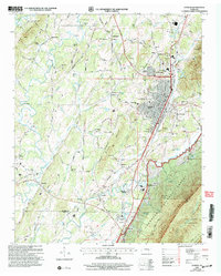 2003 Etowah2004 Print · USGSThe rail-driven hub of Etowah and the rugged slopes of the Cherokee National Forest meet in this detailed survey from the early 2000s. Researchers can trace family roots through sites like Jones Chapel Cem, Old Salem Ch, and the Delano Mill Pond.
Showing maps 1-25 of 4,111
Top cities of Tennessee
- Nashville historical maps
- Memphis historical maps
- Knoxville historical maps
- Chattanooga historical maps
- Clarksville historical maps
- Murfreesboro historical maps
See more
Top counties of Tennessee
- Shelby County historical maps
- Davidson County historical maps
- Knox County historical maps
- Hamilton County historical maps
- Rutherford County historical maps
- Williamson County historical maps
See more
Frequently asked questions
- What are the different types of historical maps available for Tennessee?
- What is the oldest map of Tennessee?
- Where can I purchase historical maps of Tennessee for my home or office?
- Where can I download high-res historical maps of Tennessee?
- Are there historical topographic maps available for Tennessee?
- Is there historical aerial imagery available for Tennessee?
- Where are historical maps of Tennessee sourced from?