2020s Maps of Tennessee
Explore 858 historic maps of Tennessee from the 2020s. These maps offer a rare glimpse into what life looked like during the 2020s — showing old roads, neighborhoods, homes, and landmarks that have changed or disappeared over time.
Whether you're researching your family's past, planning a metal detecting trip, or studying how Tennessee's landscape evolved across the 2020s, these high-resolution maps are a powerful tool for exploring the history of this region.
- Focus on a specific era: All maps on this page are from the 2020s, giving you a focused view of this time period.
- See what’s changed: Compare century-old streets, trails, and buildings to today's modern landscape using overlays and satellite layers.
- Research with precision: Use these maps for genealogy, historical research, land use analysis, or educational projects.
- View, download, or print: Maps are fully viewable online in high resolution, and can be downloaded or printed for your own records.
Start exploring Tennessee's history through authentic maps from the 2020s. This is your window into the past.
Tennessee maps
(858)- 2020 Map of Osceola, 2020 Print
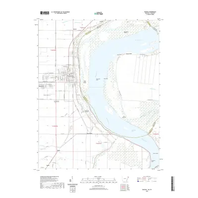 2020 Osceola2020 Print · USGSThe Mississippi River delta in the late 2010s reveals a landscape shaped by water and agriculture. Researchers can trace family roots at Mississippi County Memorial Gardens or explore the river's geography at Plum Point Reach and Sans Souci.
 - 2020 Map of Nodena, 2020 Print
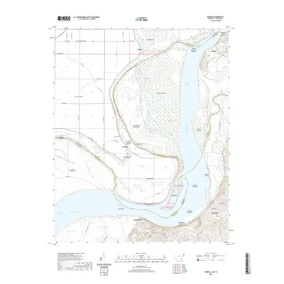 2020 Nodena2020 Print · USGSThe riverfronts of Lauderdale and Tipton Counties are captured here during a time of modern rural life along the Mississippi. Genealogists can locate family sites at Old Randolph Cem and Nodena Cem, or trace the winding course of the Hatchie River.
 - 2020 Map of Luxora, 2020 Print
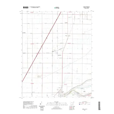 2020 Luxora2020 Print · USGSThe Arkansas Delta and the Mississippi River shoreline are captured here as they appeared in 2020. Local researchers can trace family roots through rural cemeteries like New Salem Cem and Citizen Cem or locate the historic river landings near Luxora.
 - 2020 Map of Armorel, 2020 Print
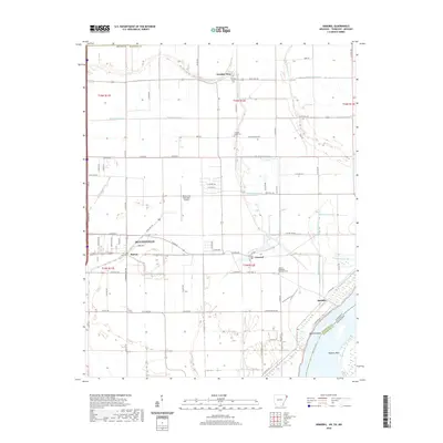 2020 Armorel2020 Print · USGSBlytheville and the eastern delta lands of Mississippi County are shown here as they appeared in 2020. Genealogists and local historians can locate Number Nine, the African Methodist Episcopal Cem, and the riverfront at Barfield Bend.
 - 2020 Map of Rosa, 2020 Print
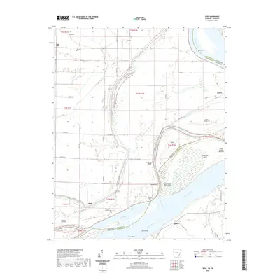 2020 Rosa2020 Print · USGSThe Mississippi River border between Tennessee and Arkansas is captured here in recent years, revealing a landscape shaped by shifting water and agricultural levees. Researchers can locate family burial sites at Rosa Cem and Steger Cem or trace the river's edge past Ashport Bar and Tomato.
 - 2020 Map of Edmondson, 2020 Print
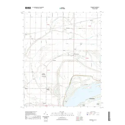 2020 Edmondson2020 Print · USGSCrittenden County and the edge of Memphis meet along the Mississippi River during this recent survey of the Arkansas-Tennessee border. Researchers can trace rural lineages through sites like Edmondson Cem and local communities such as Anthonyville and Proctor.
 - 2020 Map of West Memphis, 2020 Print
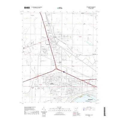 2020 West Memphis2020 Print · USGSWest Memphis and Marion sit at a critical transportation crossroads along the Mississippi River in this 2020 survey. Researchers can locate local landmarks like the Crittenden County Courthouse and Saint Johns Cem, or trace the paths of the BNSF RAILWAY and UNION PACIFIC RAILROAD.
 - 2020 Map of Jericho, 2020 Print
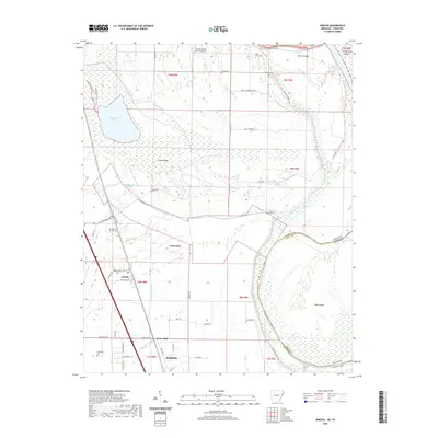 2020 Jericho2020 Print · USGSCrittenden County at the Arkansas-Tennessee border reveals a landscape shaped by the Mississippi's path and a network of small farming communities. Researchers can trace family sites at Malone Cem and New Mount Zion Cem or explore the area around Wapanocca Lake.
 - 2020 Map of Frenchmans Bayou, 2020 Print
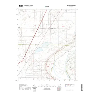 2020 Frenchmans Bayou2020 Print · USGSThe riverfront communities of Mississippi and Crittenden counties are shown here as they appeared in the early 2020s. Researchers can trace local landmarks like Rupe Cem or explore the shifting geography of Devils Elbow and Meneshea Lake.
 - 2020 Map of Fletcher Lake, 2020 Print
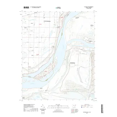 2020 Fletcher Lake2020 Print · USGSThe Mississippi River corridor south of Memphis shows a stark divide between industrial port development and rural riverfront settlements in this 2020 survey. Researchers can trace land use from the heavy industry on Presidents Island Number Forty-five to local landmarks like New Salem Cem and the Wyanoke Crevasse.
 - 2020 Map of Pecan Point, 2020 Print
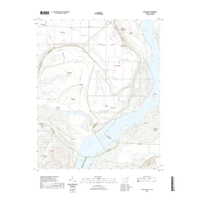 2020 Pecan Point2020 Print · USGSThe shifting channels of the Mississippi River define this borderland between Arkansas and Tennessee. Genealogists and river historians can trace family burial grounds at Jacob Cem and explore the historic reaches of Centennial Island and Pecan Point.
 - 2020 Map of Wilson, 2020 Print
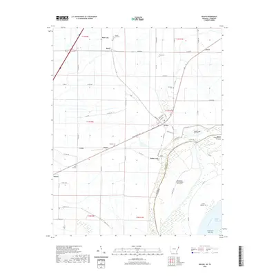 2020 Wilson2020 Print · USGSThe Mississippi River Delta in Eastern Arkansas is captured here during a period of modern agricultural stability and river management. Genealogists and local historians can locate rural landmarks like Golden Lake Cem, the community of Driver, and the residential streets of Wilson.
 - 2020 Map of Horseshoe Lake, 2020 Print
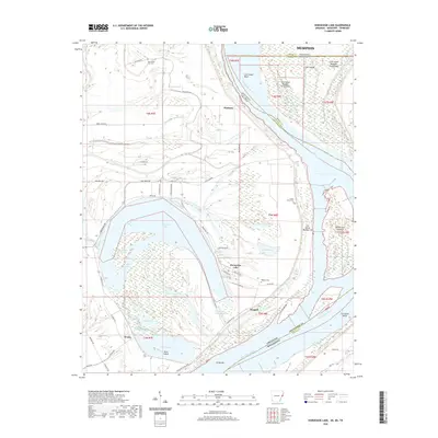 2020 Horseshoe Lake2020 Print · USGSThe oxbows and islands of the Mississippi River floodplain are documented here during the early twenty-first century. Researchers can locate family landmarks like New Mount Zion Cem and trace the early settlements of Pinckney and Bruins near the river levee.
 - 2020 Map of Beaverdale, 2020 Print
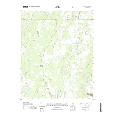 2020 Beaverdale2020 Print · USGSCrossing the Tennessee-Georgia line in the modern era, this area reveals a landscape of river-valley settlements and quiet ridge roads. Trace the community roots of Beaverdale and Crandall, or locate burial sites at Shields-Harris Cem and Ridley Cem.
 - 2020 Map of Hemp Top, 2020 Print
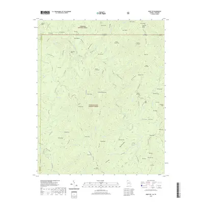 2020 Hemp Top2020 Print · USGSThe high ridges of the Georgia-Tennessee border are documented here in the early twenty-first century, showing the meeting of two National Forests. Trace the Benton MacKaye trail past Hemp Top or locate the Jones Cem near the banks of the Jacks River.
 - 2020 Map of Tennga, 2020 Print
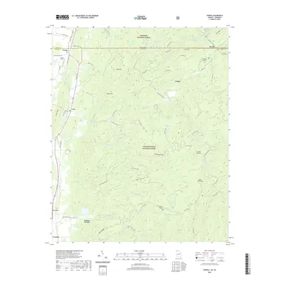 2020 Tennga2020 Print · USGSThe North Georgia mountains and Tennessee border meet in this recent survey of the backcountry around Tennga and Cisco. Researchers can trace old routes like Lost Silver Mine Road and find landmarks such as Cohutta Springs or the Alaculsy Valley.
 - 2020 Map of Epworth, 2020 Print
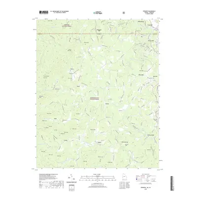 2020 Epworth2020 Print · USGSThe Georgia-Tennessee borderlands appear here in modern detail, centered on the historic river towns and mountain communities of Fannin County. Genealogists can locate family landmarks like the Patterson Family Cem or trace the legacy of local industry at Galloway Mill and Patterson Mill.
 - 2020 Map of New Home, 2020 Print
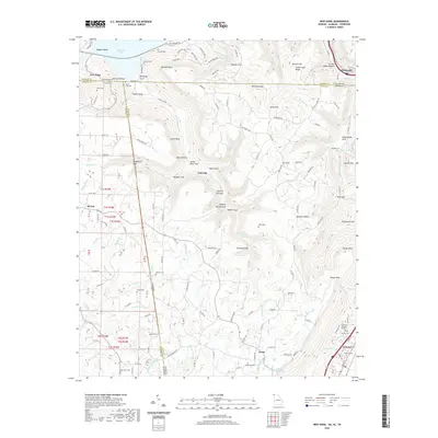 2020 New Home2020 Print · USGSThe tri-state borders of Georgia, Alabama, and Tennessee meet on the slopes of Sand Mountain in the early twenty-first century. Genealogists and local historians can trace family locations through numerous rural burial sites like State Line Cemetery and Clouse Cemetery.
 - 2020 Map of Ringgold, 2020 Print
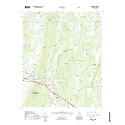 2020 Ringgold2020 Print · USGSRinggold and the surrounding Georgia-Tennessee borderlands are shown here in the contemporary era as they balance military history with mountain valley life. Researchers can locate family landmarks such as Old Ringgold Cem, Sugartown, and the Catoosa County Courthouse.
 - 2020 Map of Fort Oglethorpe, 2020 Print
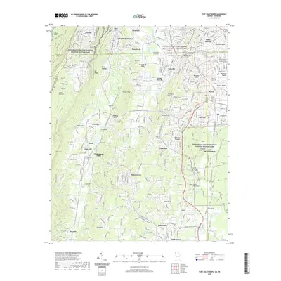 2020 Fort Oglethorpe2020 Print · USGSThe Tennessee-Georgia borderlands near Chattanooga are captured here in the contemporary era. Researchers can trace the legacy of the Civil War across Chickamauga and Chattanooga National Military Park, locating Wilder Tower and Ellis Family Cem.
 - 2020 Map of Mineral Bluff, 2020 Print
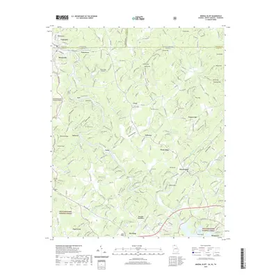 2020 Mineral Bluff2020 Print · USGSThe mountain borderlands of Georgia, Tennessee, and North Carolina are captured here in the contemporary era, centered on the Toccoa River valley. Researchers can pinpoint dozens of family burial sites like Anderson Cem and Allen Cem or locate rural communities such as Mineral Bluff and Galloway.
 - 2020 Map of Cohutta, 2020 Print
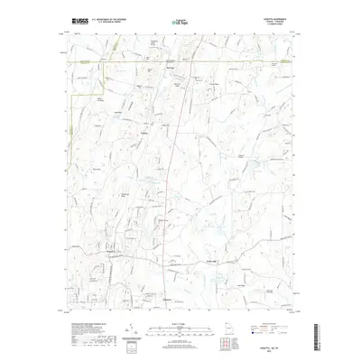 2020 Cohutta2020 Print · USGSThe Georgia-Tennessee borderlands appear here in the modern era, showing the enduring rural character of Whitfield County. Researchers can trace ancestral sites at Concord Cem, the historic waters of Varnell Spring, and the landmark Prater Mill.
 - 2020 Map of Hooker, 2020 Print
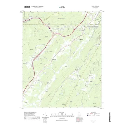 2020 Hooker2020 Print · USGSThe Tennessee-Georgia borderlands near Chattanooga are mapped here in the early twenty-first century, showing a landscape defined by prominent ridges and strategic gaps. Genealogists and historians can trace numerous rural burial sites like Paynes Chapel Cem and Haswell Cem tucked among landmarks like Lookout Mountain.
 - 2020 Map of Bridgeport, 2020 Print
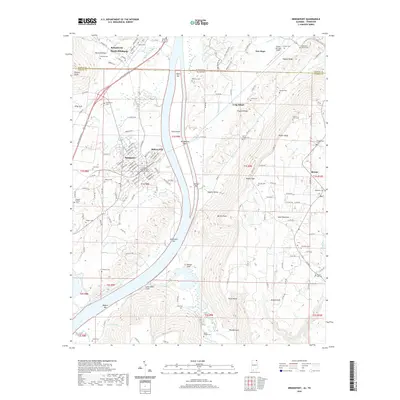 2020 Bridgeport2020 Print · USGSThe Alabama-Tennessee borderlands come into focus in this recent survey of the Tennessee River valley. Genealogists can trace family heritage through many local burial sites, including the US Military General Field Hospital Cem and Walker Family Cem.
 - 2020 Map of Eureka, 2020 Print
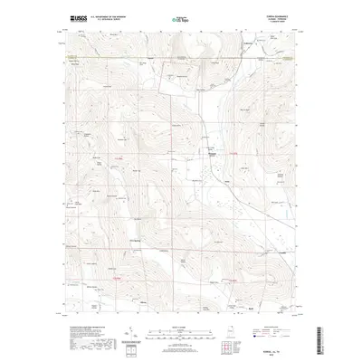 2020 Eureka2020 Print · USGSThe Alabama and Tennessee borderlands near Gonce are detailed here as they appeared in recent years. Genealogists can trace family heritage through numerous rural burial sites including Centennial Cem, Willis Cem, and Mount Gilead Cem across this highland terrain.
Showing maps 1-25 of 858
Top cities of Tennessee
- Nashville historical maps
- Memphis historical maps
- Knoxville historical maps
- Chattanooga historical maps
- Clarksville historical maps
- Murfreesboro historical maps
See more
Top counties of Tennessee
- Shelby County historical maps
- Davidson County historical maps
- Knox County historical maps
- Hamilton County historical maps
- Rutherford County historical maps
- Williamson County historical maps
See more
Frequently asked questions
- What are the different types of historical maps available for Tennessee?
- What is the oldest map of Tennessee?
- Where can I purchase historical maps of Tennessee for my home or office?
- Where can I download high-res historical maps of Tennessee?
- Are there historical topographic maps available for Tennessee?
- Is there historical aerial imagery available for Tennessee?
- Where are historical maps of Tennessee sourced from?