2000s (21st Century) Maps of Coleman County, Texas
Explore 150 historic maps of Coleman County from the 2000s (21st Century). These maps offer a rare glimpse into what life looked like during the 2000s — showing old roads, neighborhoods, homes, and landmarks that have changed or disappeared over time.
Whether you're researching your family's past, planning a metal detecting trip, or studying how Coleman County's landscape evolved across the 2000s, these high-resolution maps are a powerful tool for exploring the history of this region.
- Focus on a specific era: All maps on this page are from the 2000s, giving you a focused view of this time period.
- See what’s changed: Compare century-old streets, trails, and buildings to today's modern landscape using overlays and satellite layers.
- Research with precision: Use these maps for genealogy, historical research, land use analysis, or educational projects.
- View, download, or print: Maps are fully viewable online in high resolution, and can be downloaded or printed for your own records.
Start exploring Coleman County's history through authentic maps from the 2000s. This is your window into the past.
Coleman County, TX maps
(150)- 2010 Map of Lake Scarborough, 2010 Print
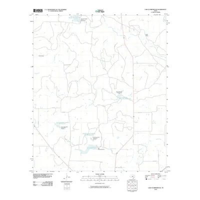 2010 Lake Scarborough2010 Print · USGSColeman County ranchlands are documented here in the early twenty-first century, showing a landscape shaped by water conservation and oil extraction. Trace local family history and land use through the Amzak-Morris Oil Field, Lake Scarborough, and numerous conservation dams.
 - 2010 Map of Novice West, 2010 Print
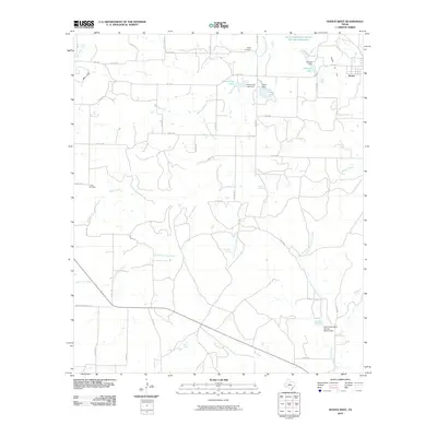 2010 Novice West2010 Print · USGSColeman County ranch lands and water projects are documented here as they appeared in 2010. Researchers can trace rural lineages through sites like Atoka Cemetery and Crews Cemetery or locate natural landmarks such as Blue Gap and Jim Ned Spring.
 - 2010 Map of Goldsboro, 2010 Print
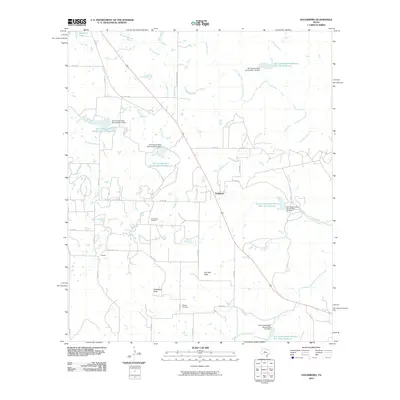 2010 Goldsboro2010 Print · USGSGoldsboro and the surrounding Coleman County ranch lands are documented here during the early twenty-first century. Genealogists and local historians can locate the Midway Cemetery and trace the drainage of Jim Ned Creek past landmarks like Jim Ned Peak.
 - 2010 Map of McEwen Draw, 2010 Print
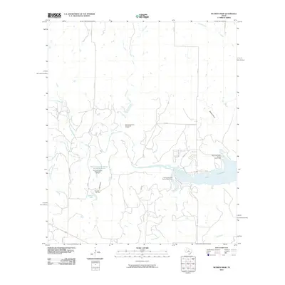 2010 McEwen Draw2010 Print · USGSCallahan County's ranching and water-management landscape is captured here in the early twenty-first century. Researchers can trace the development of local infrastructure through sites like Hudson Lake, McEwen Draw, and the extensive shoreline of Lake Coleman.
 - 2010 Map of Webbville, 2010 Print
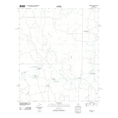 2010 Webbville2010 Print · USGSCentral Texas ranching country in the early twenty-first century is defined here by its sophisticated water management and rural crossroads. Researchers can trace family sites at Adams Cemetery or explore the hydrological network of Pecan Bayou and Webbville.
 - 2010 Map of Burkett, 2010 Print
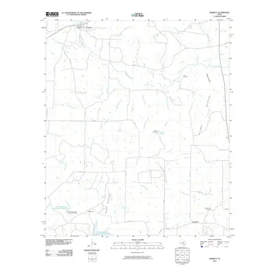 2010 Burkett2010 Print · USGSGrosvenor and Burkett are depicted here in the early twenty-first century, showing a landscape defined by cattle country and water conservation. Researchers can locate Smith Cemetery, trace the Barefoot Mountains, and identify landmarks like Red Knob and Jolley Lake.
 - 2010 Map of Coleman NE, 2010 Print
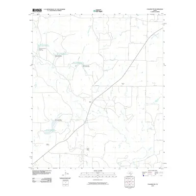 2010 Coleman NE2010 Print · USGSNorth of Coleman during the early twenty-first century, this landscape shows a high concentration of petroleum production and water conservation projects. Genealogists and local historians can locate the Walker Cemetery and trace the oil operations at Echo Oil Field or the Eastland Morris Oil Field.
 - 2010 Map of Cross Cut, 2010 Print
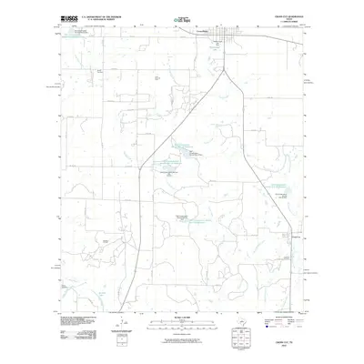 2010 Cross Cut2010 Print · USGSTexas ranching and oil country come into focus in this study of the landscape south of Cross Plains during the early 2000s. Genealogists and historians can trace family locations near Dressy Cemetery, Cross Cut, and the extensive Cross Plains Oil Field.
 - 2010 Map of Crooked Creek, 2010 Print
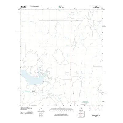 2010 Crooked Creek2010 Print · USGSCallahan County's rural landscape is defined by its water management and ranch roads during the early 2000s. Researchers can trace hydrological features like Lake Coleman, the Soil Conservation Service Site 9 Dam, and Jim Ned Creek.
 - 2010 Map of Mustang Creek, 2010 Print
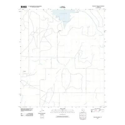 2010 Mustang Creek2010 Print · USGSColeman County ranchlands and river valleys are captured here in the early twenty-first century, centered on the O. H. Ivie Reservoir. Researchers can locate the Millersview Cemetery and trace the many branches of Mustang Creek as they wind through the terrain.
 - 2010 Map of Gouldbusk, 2010 Print
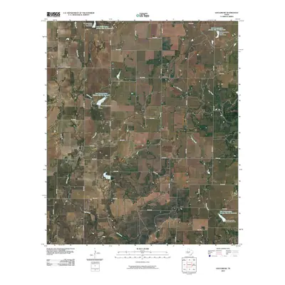 2010 Gouldbusk2010 Print · USGSIn Coleman County during the early twenty-first century, the rural landscape near Gouldbusk remains defined by its water management and country road networks. Researchers can trace the layout of small communities like Mozelle and Shields alongside reservoirs like Soil Conservation Service Site 17 Reservoir.
 - 2010 Map of Valera, 2010 Print
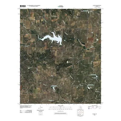 2010 Valera2010 Print · USGSValera and the surrounding Coleman County ranch lands are documented here in the early twenty-first century. Researchers can trace local lineage at the Old Valera Cemetery or study the regional water system through Hords Creek Lake and the Warner Oil Field.
 - 2010 Map of Trickham, 2010 Print
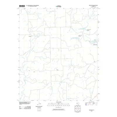 2010 Trickham2010 Print · USGSCentral Texas ranchlands and the settlement of Trickham are captured here in the early 2000s, showing a landscape defined by creek drainage and rural intersections. Researchers can trace local lineage at Rice Cemetery, Lee Cemetery, or Smith Cemetery among the valleys of Mukewater Creek.
 - 2010 Map of Novice East, 2010 Print
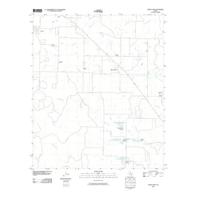 2010 Novice East2010 Print · USGSThe ranching and oil lands of Coleman County are seen here in the early twenty-first century. Researchers can trace family sites near Silver Valley, locate the Burroughs Oil Field, or find landmarks like Robinson Peak and Rough Creek Cemetery.
 - 2010 Map of Fisk, 2010 Print
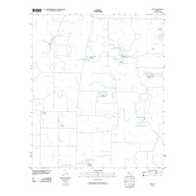 2010 Fisk2010 Print · USGSThe rural community of Fisk is centered within a network of Coleman County ranch roads and oil fields during the early twenty-first century. Genealogists and historians can locate the Brown Ranch Cemetery or trace the early energy footprint of the Overall Oil Field and Davis Bell Oil Field.
 - 2010 Map of Thrifty, 2010 Print
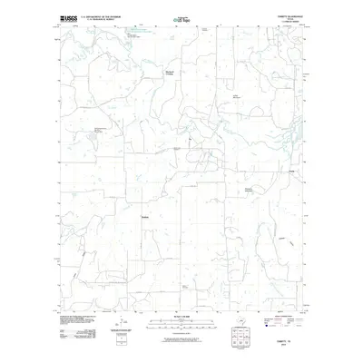 2010 Thrifty2010 Print · USGSBrown County's rural landscape is documented here in the early twenty-first century, showing a network of ranch roads and small settlements. Researchers can locate family sites near Fairview Cemetery, trace the path of Jim Ned Creek, or find the community of Thrifty.
 - 2010 Map of Lake San Tana, 2010 Print
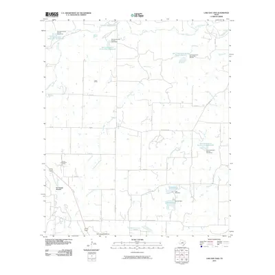 2010 Lake San Tana2010 Print · USGSColeman County's rural ranching and oil landscape is captured here during the first decade of the 21st century. Genealogists and local historians can trace the paths of Old Comanche Rd and find landmarks like San Angelo Junction and the Hagler Oil Field.
 - 2010 Map of Speck Mountain, 2010 Print
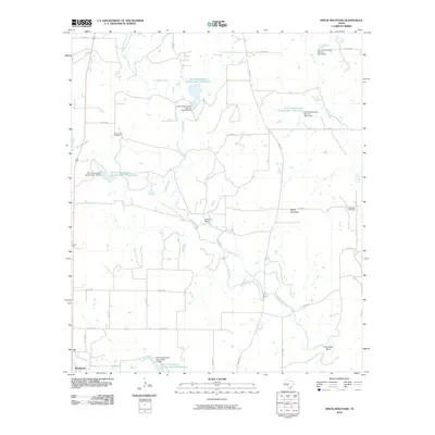 2010 Speck Mountain2010 Print · USGSColeman County ranchlands are documented here in the early twenty-first century as they surround the settlement of Rockwood. Researchers can trace family history at Stewardson Cemetery or locate landmarks like Speck Mountain and the prominent Horseshoe Bend of Home Creek.
 - 2010 Map of Santa Anna, 2010 Print
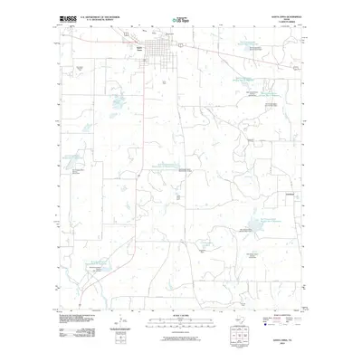 2010 Santa Anna2010 Print · USGSIn Coleman County during the early twenty-first century, the landscape around the Santa Anna Mountains reveals a complex system of water management and energy extraction. Researchers can trace the boundaries of the Santa Anna West Oil Field or locate rural communities like Cleveland and Santa Anna South.
 - 2010 Map of Bangs West, 2010 Print
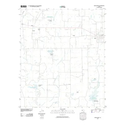 2010 Bangs West2010 Print · USGSBangs and the surrounding central Texas plains are shown in detail here during the first decade of the millennium. Researchers can trace rural lineages through the Mukewater Cemetery or locate old community hubs like Liberty, Obregon, and Concord.
 - 2010 Map of Bead Mountain, 2010 Print
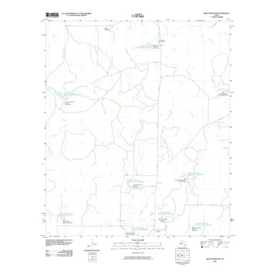 2010 Bead Mountain2010 Print · USGSColeman County's rural landscape is captured here in the early twenty-first century, showing a transition from traditional ranching to engineered water management. Genealogists and local historians can locate the Valera Cemetery and Voss Cemetery while tracing the numerous Soil Conservation Service reservoirs along Panther Creek.
 - 2010 Map of Little Grape Creek, 2010 Print
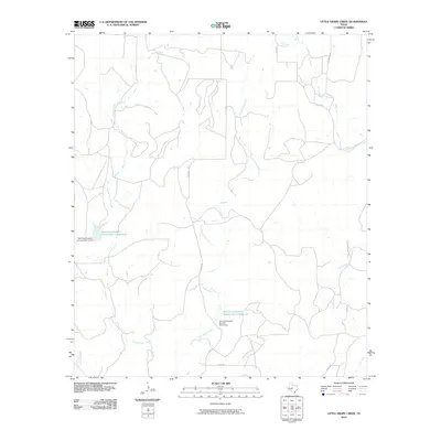 2010 Little Grape Creek2010 Print · USGSColeman County land use and water management are front and center in the first decade of the new millennium. Researchers can trace the drainage of Little Grape Creek and locate vital infrastructure like the Soil Conservation Service Site 1 Reservoir and Wheeler Branch.
 - 2010 Map of Doole, 2010 Print
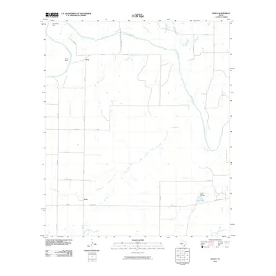 2010 Doole2010 Print · USGSMcCulloch County cattle and ranching lands appear in detail during the early 21st century. Researchers can trace the rural communities of Doole and Stacy, or locate specific features like J L Cox Estate-Lake and the sharp curves of Horseshoe Bend on the Colorado River.
 - 2010 Map of Talpa, 2010 Print
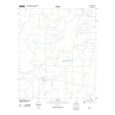 2010 Talpa2010 Print · USGSThe community of Talpa and the surrounding Coleman County ranch lands are documented here in the early twenty-first century. Researchers can trace family history at Herring Cemetery and Glen Cove Cemetery or follow the paths of Mustang Creek and Hords Creek.
 - 2010 Map of Mercury, 2010 Print
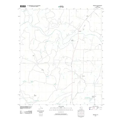 2010 Mercury2010 Print · USGSMcCulloch County's ranching country remains clearly defined in the early twenty-first century as the Colorado River winds past quiet rural outposts. Researchers can trace family history at the Winchell Cemetery or locate distinctive landmarks like High Lonesome Windmill and Morgan Mountain.
Showing maps 1-25 of 150
Top cities of Coleman County
Frequently asked questions
- What are the different types of historical maps available for Coleman County?
- What is the oldest map of Coleman County?
- Where can I purchase historical maps of Coleman County for my home or office?
- Where can I download high-res historical maps of Coleman County?
- Are there historical topographic maps available for Coleman County?
- Is there historical aerial imagery available for Coleman County?
- Where are historical maps of Coleman County sourced from?