2020s Maps of Culberson County, Texas
Explore 92 historic maps of Culberson County from the 2020s. These maps offer a rare glimpse into what life looked like during the 2020s — showing old roads, neighborhoods, homes, and landmarks that have changed or disappeared over time.
Whether you're researching your family's past, planning a metal detecting trip, or studying how Culberson County's landscape evolved across the 2020s, these high-resolution maps are a powerful tool for exploring the history of this region.
- Focus on a specific era: All maps on this page are from the 2020s, giving you a focused view of this time period.
- See what’s changed: Compare century-old streets, trails, and buildings to today's modern landscape using overlays and satellite layers.
- Research with precision: Use these maps for genealogy, historical research, land use analysis, or educational projects.
- View, download, or print: Maps are fully viewable online in high resolution, and can be downloaded or printed for your own records.
Start exploring Culberson County's history through authentic maps from the 2020s. This is your window into the past.
Culberson County, TX maps
(92)- 2020 Map of Jumping Spring, 2020 Print
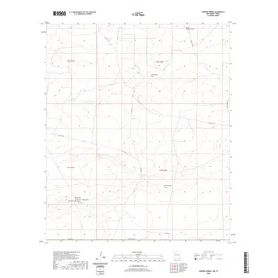 2020 Jumping Spring2020 Print · USGSEddy County, New Mexico, is mapped here in the modern era, showing a high desert landscape defined by essential water sources. Genealogists and local historians can trace named landmarks such as Washington Spring, Ben Slaughter Spring, and the winding Owl Draw.
 - 2020 Map of Red Bluff, 2020 Print
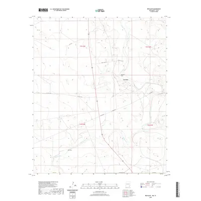 2020 Red Bluff2020 Print · USGSSoutheast New Mexico in the modern era continues to be defined by its major water arteries and remote ranching outposts. Researchers can trace the paths of the Pecos River and Delaware River alongside local landmarks like Red Bluff and Mule Tank.
 - 2020 Map of El Paso Gap, 2020 Print
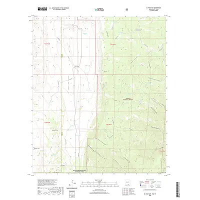 2020 El Paso Gap2020 Print · USGSThe high ridges of the Guadalupe Mountains are documented in this recent survey of the New Mexico borderlands. Researchers can locate remote high-desert water sources like Soldier Spring and Hatchet Spring or trace the winding course of Dark Canyon.
 - 2020 Map of Cottonwood Hills, 2020 Print
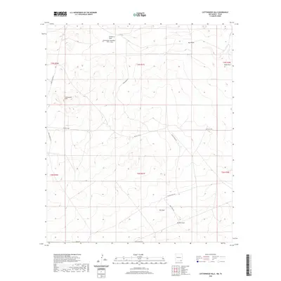 2020 Cottonwood Hills2020 Print · USGSEddy County ranching country is mapped here in the modern era, showing the intricate drainage patterns of the high desert. Researchers can trace the paths of Whites City Rd and Wilhoit Ranch Rd near landmarks like Tecolote Peak.
 - 2020 Map of Rattlesnake Springs, 2020 Print
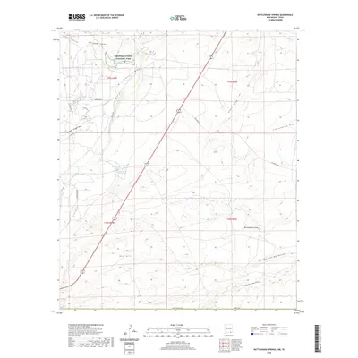 2020 Rattlesnake Springs2020 Print · USGSEddy County in 2020 showcases a unique intersection of federal parkland and working ranch territory at the edge of the desert. Researchers can trace land use through features like Rattlesnake Springs, Mayes Ranch Rd, and the Yeso Hills.
 - 2020 Map of Panther Canyon, 2020 Print
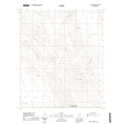 2020 Panther Canyon2020 Print · USGSOtero County, New Mexico, is shown here during the late twenty-teens, revealing a high-altitude landscape of critical water holes and livestock tanks. Researchers can trace land use and ranching history through markers like Indian Water Hole, Will Magby Tank, and Cutoff Ridge.
 - 2020 Map of Gunsight Canyon, 2020 Print
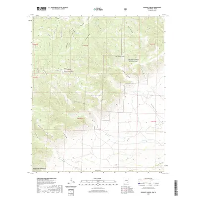 2020 Gunsight Canyon2020 Print · USGSThe high desert canyons of Eddy County are captured here at the turn of the decade, showing the intersections of Carlsbad Caverns and the Lincoln National Forest. Researchers can trace remote water sources like Aqua Dulce Seep and seasonal draws like Thurman Draw.
 - 2020 Map of Grapevine Draw, 2020 Print
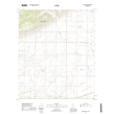 2020 Grapevine Draw2020 Print · USGSCanyons and desert draws define this Eddy County landscape in 2020, where federal parkland meets historic ranching territory. You can trace the Slaughter Canyon Trail or locate remote water sources like School Section Water Hole and Geyser Springs.
 - 2022 Map of Lobo, 2022 Print
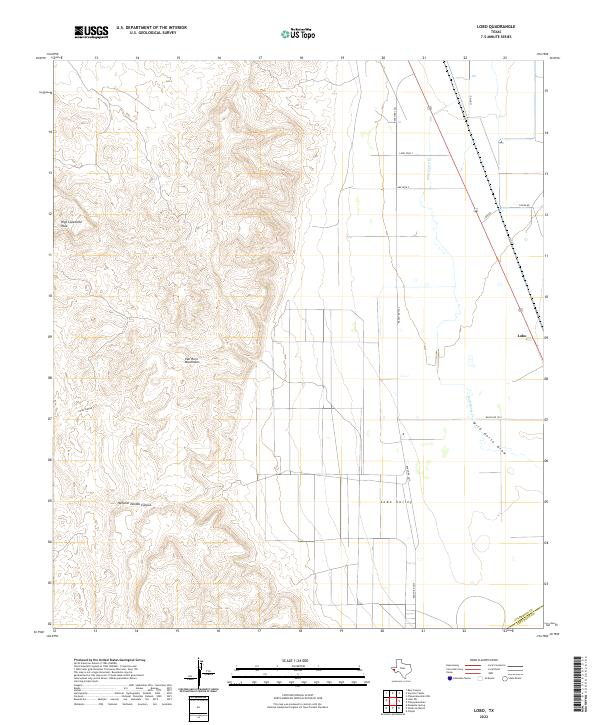 2022 Lobo2022 Print · USGSThe West Texas desert meets the high slopes of the Van Horn Mountains in this modern topographical study. Trace the remote settlement of Lobo and follow local ranching routes like Chispa Rd across the expansive Lobo Valley.
 - 2022 Map of Mayfield Hills, 2022 Print
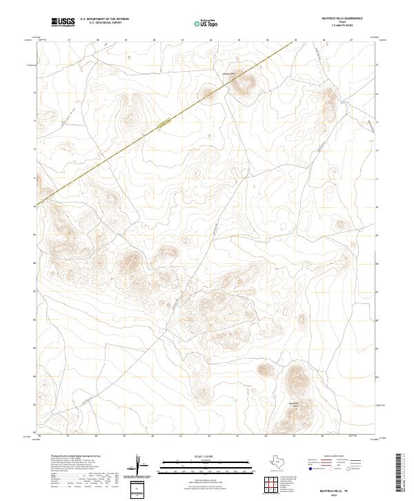 2022 Mayfield Hills2022 Print · USGSJeff Davis County at the edge of the Trans-Pecos is captured in this modern topographical study of the high desert. Researchers can trace ranching corridors along Moon Ranch Rd and locate prominent natural landmarks like Hogeye Mtn and the Mayfield Hills.
 - 2022 Map of Van Horn Wells, 2022 Print
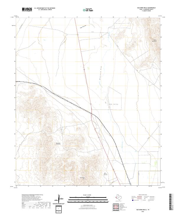 2022 Van Horn Wells2022 Print · USGSLobo Valley and the surrounding peaks of West Texas appear in this recent survey of Culberson County. Researchers can trace remote desert landmarks like Van Horn Wells Cem, the heights of Heliograph Hill, and drainage patterns along Wild Horse Cr.
 - 2022 Map of Herds Pass, 2022 Print
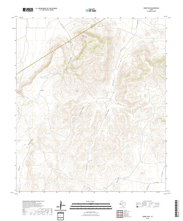 2022 Herds Pass2022 Print · USGSThe high desert country of Jeff Davis County comes to life in this survey of the rugged ranchlands along the Culberson County line. Researchers can trace historic water sources and landmarks like Herds Pass Spring, Horse Camp Peak, and Arp Flat.
 - 2022 Map of Bass Canyon, 2022 Print
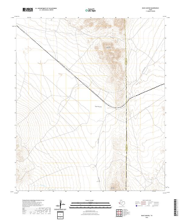 2022 Bass Canyon2022 Print · USGSHudspeth County, Texas, is documented in the early 2020s, showing the remote desert terrain at the state's western edge. Researchers can trace the elevation changes and seasonal drainage of Bass Canyon in this precise topographic record.
 - 2022 Map of Mesquite Spring, 2022 Print
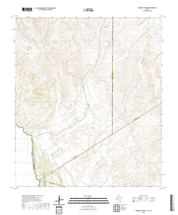 2022 Mesquite Spring2022 Print · USGSThe West Texas borderlands along the Rio Grande are captured here in the early twenty-first century, showing the intersection of four major counties. Researchers can trace water sources like Mesquite Spring and Catclaw Spring through the arid reaches of Eagle Canyon.
 - 2022 Map of Boracho Peak, 2022 Print
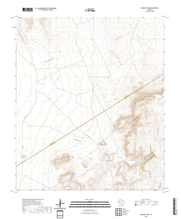 2022 Boracho Peak2022 Print · USGSThe high desert boundary of Culberson and Jeff Davis counties is surveyed here in the early twenty-first century. Researchers can trace the rugged drainage patterns of Indian Waterhole Draw and locate family-named landmarks like Bronc Mule Hill and Boracho Peak.
 - 2022 Map of Chispa Mountain NE, 2022 Print
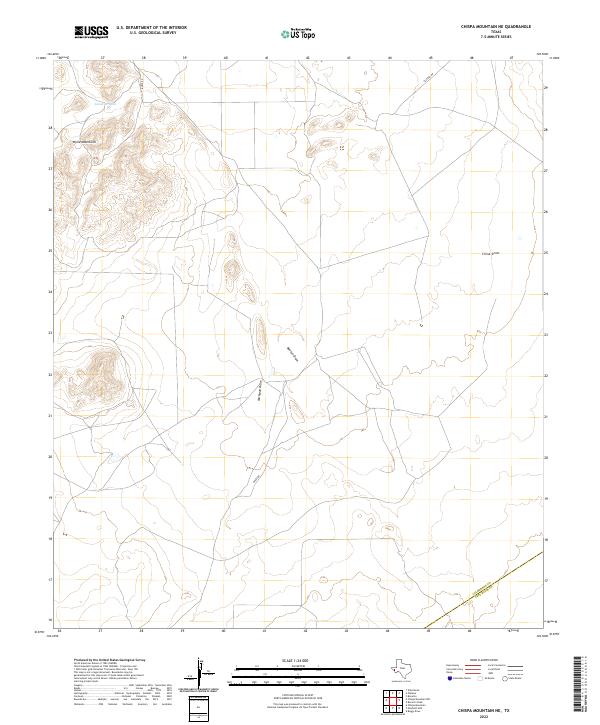 2022 Chispa Mountain NE2022 Print · USGSCulberson County, Texas, remains a landscape of high-desert vistas and seasonal watersheds as seen in this recent survey. Local researchers can trace the ranching terrain through Wylie Mountains, the waters of Javelina Tank, and the paths of Baeza Rd.
 - 2022 Map of Chispa Mountain NW, 2022 Print
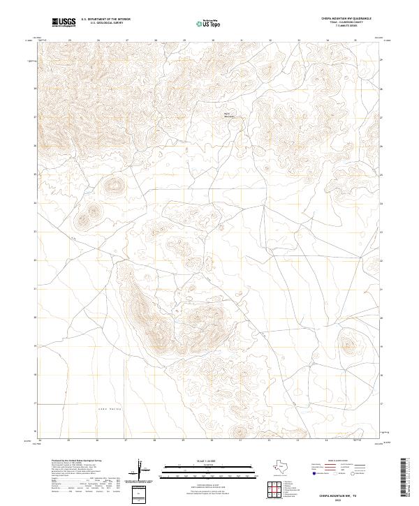 2022 Chispa Mountain NW2022 Print · USGSIn the arid landscape of West Texas, this Culberson County area showcases the dramatic transition from highland peaks to desert floor. Genealogists and land researchers can trace the path of 101 Rd through the Wylie Mountains and into the Lobo Valley.
 - 2022 Map of Chispa Mountain, 2022 Print
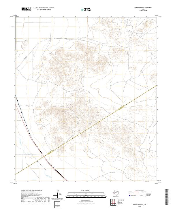 2022 Chispa Mountain2022 Print · USGSThe Trans-Pecos ranchlands of Culberson County are captured here in the early twenty-first century, showing a remote landscape of high peaks and desert valleys. Researchers can trace the drainage patterns of Wild Horse Draw and locate routes like Chispa HQ Rd and Aguire Rd.
 - 2022 Map of Ninetysix Ranch, 2022 Print
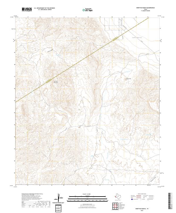 2022 Ninetysix Ranch2022 Print · USGSJeff Davis County is captured in this recent survey of the high desert ranchlands along the Culberson County line. Researchers and land owners can trace the connectivity of Chispa Rd and locate vital water points like Howard Tank and Baldy Tank near Needle Peak.
 - 2022 Map of Burnt Spring Hills SE, 2022 Print
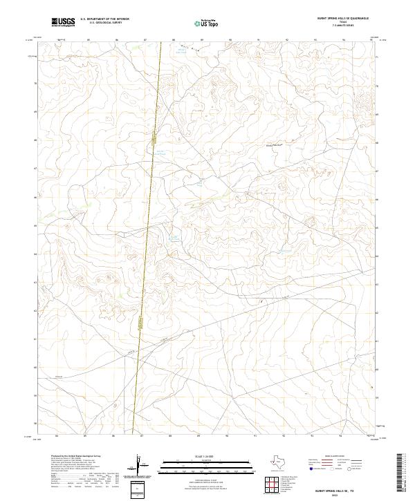 2022 Burnt Spring Hills SE2022 Print · USGSRanching lands along the Culberson and Reeves county line are documented here in the early twenty-first century. Researchers can trace historical water management through features like Hart Draw, Frijol Tank, and North Rock Tank.
 - 2022 Map of Two Mill Draw East, 2022 Print
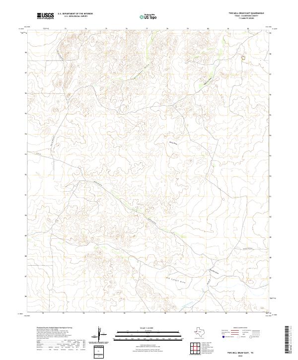 2022 Two Mill Draw East2022 Print · USGSCulberson County's desert landscape is documented in this modern topographic study of the West Texas draws and ranch roads. Researchers can trace the path of Monument Draw and locate the intersection of Brooks-Pecos Rd and Brooks Rd.
 - 2022 Map of Screw Bean Draw East, 2022 Print
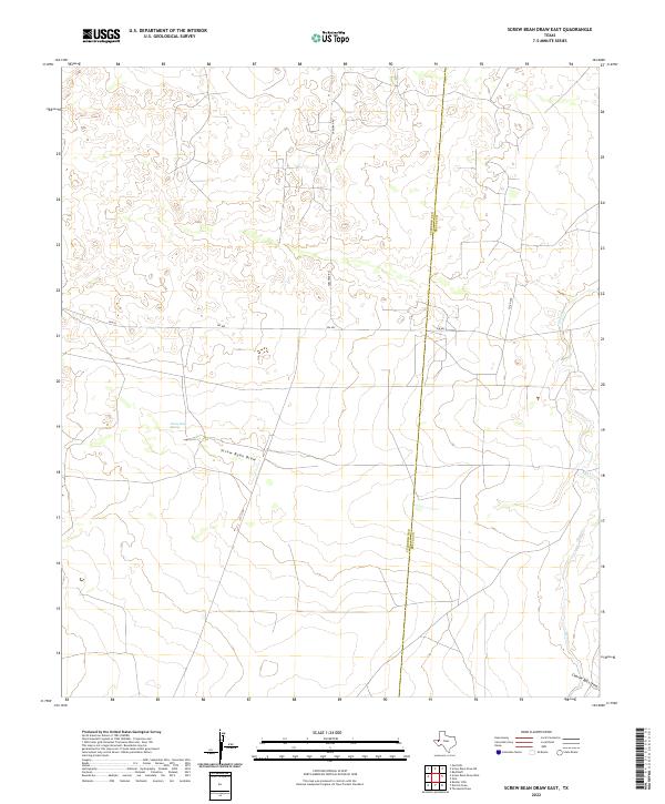 2022 Screw Bean Draw East2022 Print · USGSWest Texas ranching and desert lands are captured here in the early twenty-first century along the Culberson and Reeves county line. Researchers can trace the paths of Screw Bean Draw and find the location of Screw Bean Spring near FM 652.
 - 2022 Map of Burro Canyon, 2022 Print
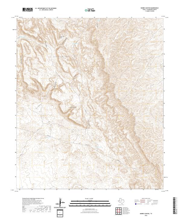 2022 Burro Canyon2022 Print · USGSCulberson County's high desert terrain is documented here in the early twenty-first century, showing a landscape defined by the Delaware Mountains. Researchers can trace essential water sources like Twin Tanks and Nester Tank alongside remote landmarks such as Janes Window.
 - 2022 Map of Castile Hill, 2022 Print
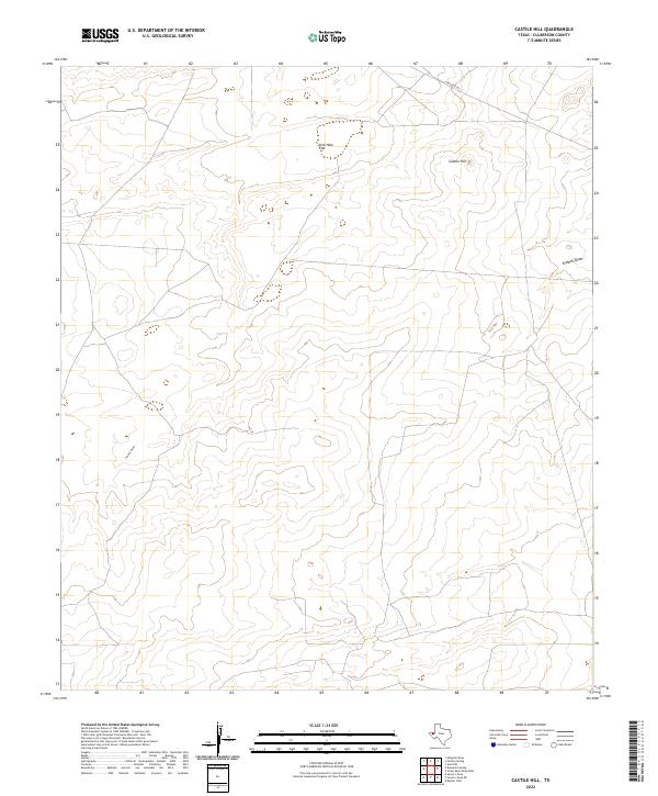 2022 Castile Hill2022 Print · USGSCulberson County rangeland remains wide open and sparsely settled in the early twenty-first century. Researchers can trace the desert hydrology through Castile Draw and Kimbell Draw, or locate natural landmarks like Sink Hole Flat and Castile Hill.
 - 2022 Map of Six Bar Ranch, 2022 Print
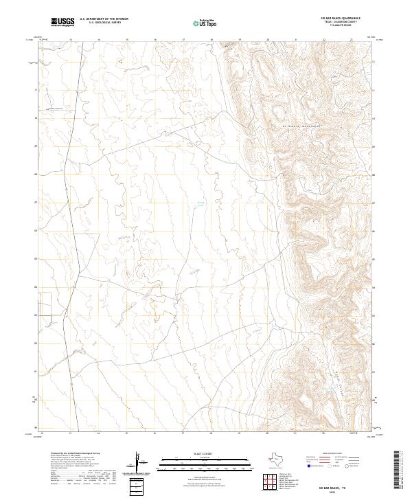 2022 Six Bar Ranch2022 Print · USGSCulberson County in the early 2020s remains a landscape of high ridges and essential water infrastructure. Researchers can trace ranching landmarks like Windy Tank and Hogue Tank or follow the path of Guadalupe School Rd through the foothills.
Showing maps 1-25 of 92
Top cities of Culberson County
Frequently asked questions
- What are the different types of historical maps available for Culberson County?
- What is the oldest map of Culberson County?
- Where can I purchase historical maps of Culberson County for my home or office?
- Where can I download high-res historical maps of Culberson County?
- Are there historical topographic maps available for Culberson County?
- Is there historical aerial imagery available for Culberson County?
- Where are historical maps of Culberson County sourced from?