2010s Maps of Culberson County, Texas
Explore 328 historic maps of Culberson County from the 2010s. These maps offer a rare glimpse into what life looked like during the 2010s — showing old roads, neighborhoods, homes, and landmarks that have changed or disappeared over time.
Whether you're researching your family's past, planning a metal detecting trip, or studying how Culberson County's landscape evolved across the 2010s, these high-resolution maps are a powerful tool for exploring the history of this region.
- Focus on a specific era: All maps on this page are from the 2010s, giving you a focused view of this time period.
- See what’s changed: Compare century-old streets, trails, and buildings to today's modern landscape using overlays and satellite layers.
- Research with precision: Use these maps for genealogy, historical research, land use analysis, or educational projects.
- View, download, or print: Maps are fully viewable online in high resolution, and can be downloaded or printed for your own records.
Start exploring Culberson County's history through authentic maps from the 2010s. This is your window into the past.
Culberson County, TX maps
(328)- 2010 Map of Fencepost Draw, 2010 Print
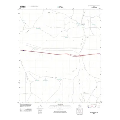 2010 Fencepost Draw2010 Print · USGSCattle ranching infrastructure dominates this West Texas landscape in Culberson County during the early twenty-first century. Genealogists and researchers can trace the operations of the Reynolds Cattle Company Dam and locate historic outposts like Gardner Camp and Horse Camp Spring.
 - 2010 Map of San Martine, 2010 Print
 2010 San Martine2010 Print · USGSReeves County ranching culture is on full display in the early twenty-first century, centered on the settlement of San Martine. Trace the vital network of desert water sources and landmarks including Seven Heart Crossing, T Diamond Ranch, and Gun Barrel Windmill.
 - 2010 Map of Plateau, 2010 Print
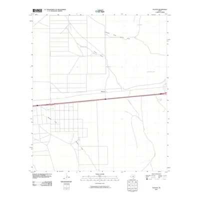 2010 Plateau2010 Print · USGSCulberson County's high desert landscape comes into focus during the early twenty-first century as ranching and transport dominate the terrain. Trace local infrastructure and water management through Sandhill Tank, Plateau, and routes like John Conoly Rd.
 - 2010 Map of Iron Mountain, 2010 Print
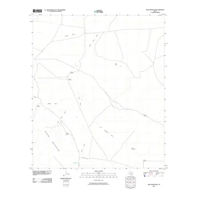 2010 Iron Mountain2010 Print · USGSWest Texas ranching country in the early twenty-first century is defined here by its essential water sources and mountain passes. Trace the locations of family-named landmarks and essential infrastructure like Pistola Windmill, Highway Tank, and Mountain Windmill.
 - 2010 Map of Kent, 2010 Print
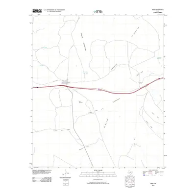 2010 Kent2010 Print · USGSKent is situated at a critical crossroads of highway and ranch roads in West Texas as the first decade of the new millennium ended. Researchers can trace land features like Kent Mountain, the crossing at Twin Bridges, and family-named sites such as Levinson Reservoir.
 - 2010 Map of Nutt Ranch, 2010 Print
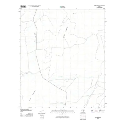 2010 Nutt Ranch2010 Print · USGSCulberson County ranching country is mapped here during the early twenty-first century, showcasing the arid basins between high desert peaks. Genealogists and researchers can trace local family landholdings and travel routes like Nutt Ranch, Puckett Ranch, and Whitehead Rd.
 - 2010 Map of Panther Canyon, 2010 Print
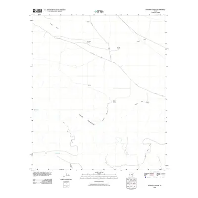 2010 Panther Canyon2010 Print · USGSThe Apache Mountains rise above the high desert of Culberson County in the early twenty-first century, where remote ranching operations rely on scattered water infrastructure. Trace the working landscape of Foster Ranch and a network of historic wells like Jackson Windmill and Panther Windmill.
 - 2010 Map of Wild Horse, 2010 Print
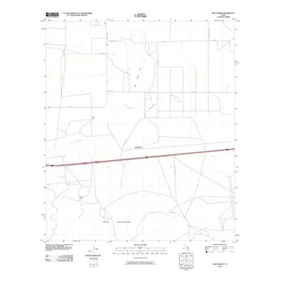 2010 Wild Horse2010 Print · USGSCulberson County ranching country is captured here during the first decade of the new millennium. Researchers can locate remote outposts like Durrill Camp and Harper Ranch or trace the desert drainage of Wild Horse Creek.
 - 2010 Map of East Hunter Canyon, 2010 Print
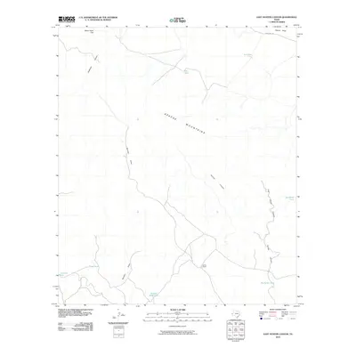 2010 East Hunter Canyon2010 Print · USGSThe Apache Mountains define this West Texas landscape during the early 21st century, where ranching life persists through managed water resources. Researchers can trace land usage and ranching boundaries at Gentry Ranch or follow the terrain from Seven Heart Gap to Sacaton Draw.
 - 2010 Map of Goat Canyon, 2010 Print
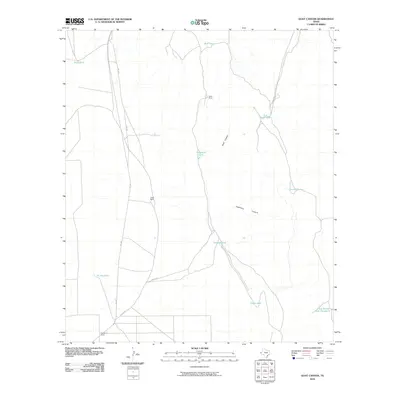 2010 Goat Canyon2010 Print · USGSCulberson County ranching life is documented here in the early twenty-first century, showing a remote landscape of isolated outposts and vital water catchments. Genealogists and land historians can trace family-named sites like Munn Ranch and Stansberry Ranch alongside the deep cuts of Goat Canyon.
 - 2010 Map of Watson Ranch, 2010 Print
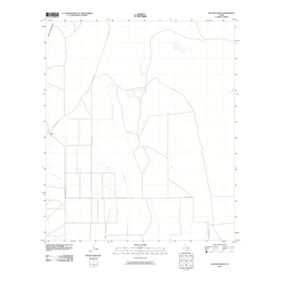 2010 Watson Ranch2010 Print · USGSCulberson County ranch lands are documented here at the turn of the millennium, showing a landscape defined by desert drainages and remote roads. Researchers can trace the layout of Watson Ranch and follow the paths of Wild Horse Creek and Sulphur Creek through the basin.
 - 2010 Map of Boracho, 2010 Print
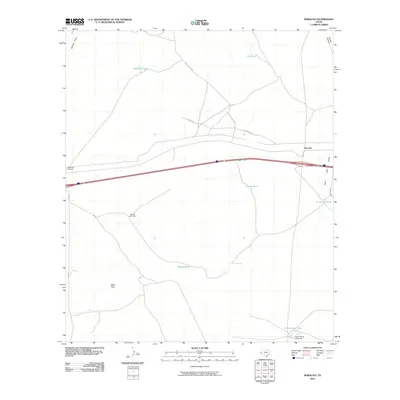 2010 Boracho2010 Print · USGSThe West Texas ranching landscape of Culberson County is documented here at the start of the century. Genealogists and researchers can trace the vital network of desert water infrastructure through Stewart Windmill, Badger Tank, and the settlement of Boracho.
 - 2010 Map of Sheep Peak, 2010 Print
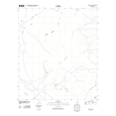 2010 Sheep Peak2010 Print · USGSCulberson County at the start of the decade remains a rugged domain of mountain ranges and scattered mineral claims. Miners and researchers can trace the history of desert industry at the Mohawk Mine, Hazel Mine, and Blackshaft Mine.
 - 2010 Map of Hackett Peak, 2010 Print
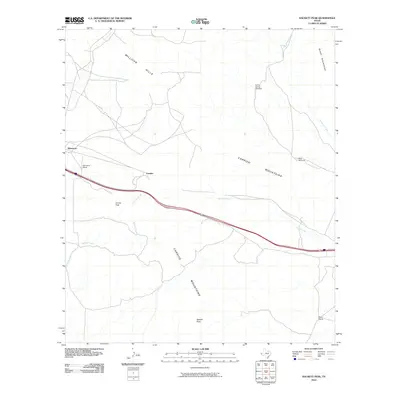 2010 Hackett Peak2010 Print · USGSWest Texas ranching and mountain terrain are captured here in the early twenty-first century as Interstate 10 cuts through the desert. Local historians can locate the Sammons Ranch and Mann Ranch or trace the water sources at Carrizo Spring Windmill and West Windmill.
 - 2010 Map of Gomez Peak, 2010 Print
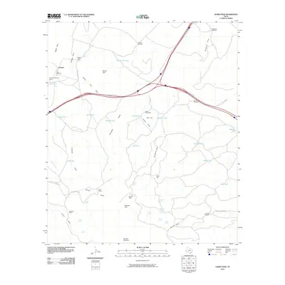 2010 Gomez Peak2010 Print · USGSThe ranching country of West Texas is documented here in the decade before 2010, showing the high desert basins and peaks of Culberson County. Genealogists and researchers can trace family-named lands like Cowden Ranch, the Cowan Homestead, and Woulfter Ranch.
 - 2010 Map of Van Horn, 2010 Print
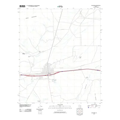 2010 Van Horn2010 Print · USGSVan Horn and the surrounding high desert of Culberson County are captured here during the early twenty-first century. Genealogists and local historians can trace legacy ranch sites like Neal Ranch and landmarks like the Harold Martin Lake Dam and Corner Windmill.
 - 2010 Map of Emory Corral, 2010 Print
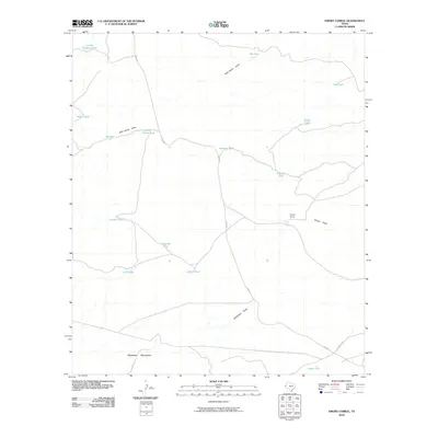 2010 Emory Corral2010 Print · USGSWest Texas ranching country at the base of the Delaware Mountains is captured here in the early 2000s. Genealogists and historians can trace the remote infrastructure of the Trans-Pecos through sites like Emory Corral, Carr Tanks, and Sifford Tank.
 - 2010 Map of Figure Two Ranch, 2010 Print
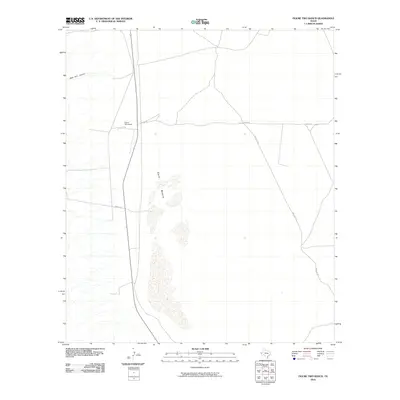 2010 Figure Two Ranch2010 Print · USGSCulberson County ranch lands are captured here in the early twenty-first century, showing the enduring cattle country of West Texas. Researchers can locate the Figure Two Ranch headquarters and trace routes like Stone Rd across the expansive Salt Basin.
 - 2010 Map of Dome Hill, 2010 Print
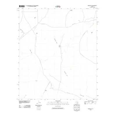 2010 Dome Hill2010 Print · USGSCulberson County ranching life is preserved in this 2010 study of the high desert, where water is the primary landmark. Trace the cattle-country infrastructure through family-named sites like Jones Ranch, Mutt and Jeff Windmills, and the historic route through Seven Heart Pass.
 - 2010 Map of Dry Lake, 2010 Print
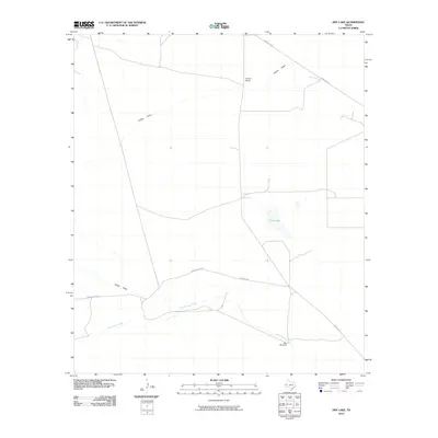 2010 Dry Lake2010 Print · USGSThe West Texas high desert in the early twenty-first century is a landscape of remote cattle operations and vital water points. Genealogists and researchers can trace ranching footprints at Derrick Ranch or locate water features like Dry Lake and the Juan Windmill.
 - 2010 Map of Delaware Spring, 2010 Print
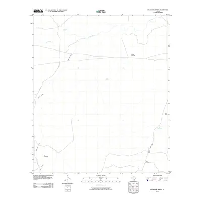 2010 Delaware Spring2010 Print · USGSCulberson County ranching country is captured here in the early twenty-first century, showing a landscape shaped by water and isolation. Researchers can locate remote landmarks like Castile Ranch, Rader Windmill, and the prominent Sulfur Mine Hill.
 - 2010 Map of Dellahunt Draw East, 2010 Print
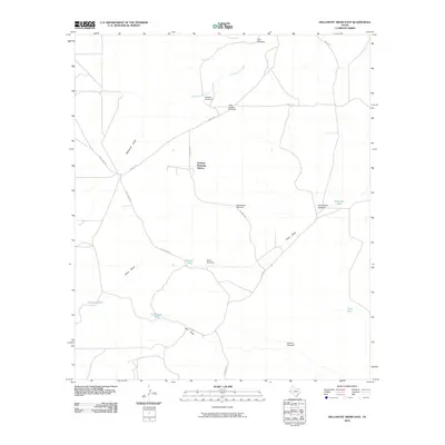 2010 Dellahunt Draw East2010 Print · USGSCulberson County ranch lands are defined by vital water infrastructure in this 2010 survey of the Texas High Plains. Researchers can trace the essential network of remote water sources and industrial points like Grisham Pumping Station, McCutchum Windmill, and Henderson Tank.
 - 2010 Map of Dellahunt Draw West, 2010 Print
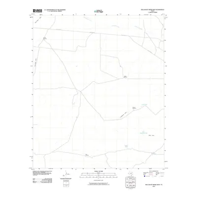 2010 Dellahunt Draw West2010 Print · USGSCulberson County ranching country is documented here during the early twenty-first century, showing the essential water infrastructure of the West Texas desert. Researchers can trace land improvements and water sources like Sulphur Windmill, Crow Windmill, and Five Line Tank.
 - 2010 Map of Cow Mountain, 2010 Print
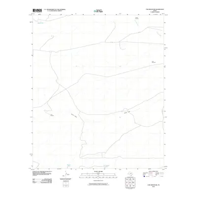 2010 Cow Mountain2010 Print · USGSCulberson County ranching country is documented here in the early twenty-first century, showing a landscape shaped by water and elevation. Researchers can trace the importance of isolated landmarks and catchment basins like Gray Windmill, Middle Tank, and Lamar Canyon.
 - 2010 Map of Independence Spring, 2010 Print
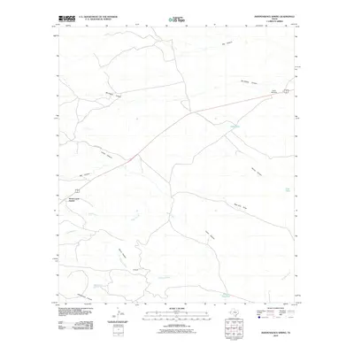 2010 Independence Spring2010 Print · USGSCulberson County ranch lands and canyon country are documented here during the early twenty-first century. Researchers can trace the layout of the D Ranch, locate Nickel Creek Station, and follow the deep paths of Mc Kittrick Canyon.
Showing maps 1-25 of 328
Top cities of Culberson County
Frequently asked questions
- What are the different types of historical maps available for Culberson County?
- What is the oldest map of Culberson County?
- Where can I purchase historical maps of Culberson County for my home or office?
- Where can I download high-res historical maps of Culberson County?
- Are there historical topographic maps available for Culberson County?
- Is there historical aerial imagery available for Culberson County?
- Where are historical maps of Culberson County sourced from?