2010s Maps of Gray County, Texas
Explore 80 historic maps of Gray County from the 2010s. These maps offer a rare glimpse into what life looked like during the 2010s — showing old roads, neighborhoods, homes, and landmarks that have changed or disappeared over time.
Whether you're researching your family's past, planning a metal detecting trip, or studying how Gray County's landscape evolved across the 2010s, these high-resolution maps are a powerful tool for exploring the history of this region.
- Focus on a specific era: All maps on this page are from the 2010s, giving you a focused view of this time period.
- See what’s changed: Compare century-old streets, trails, and buildings to today's modern landscape using overlays and satellite layers.
- Research with precision: Use these maps for genealogy, historical research, land use analysis, or educational projects.
- View, download, or print: Maps are fully viewable online in high resolution, and can be downloaded or printed for your own records.
Start exploring Gray County's history through authentic maps from the 2010s. This is your window into the past.
Gray County, TX maps
(80)- 2010 Map of Bowers City, 2010 Print
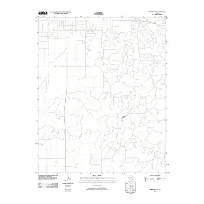 2010 Bowers City2010 Print · USGSBowers City and the surrounding Gray County ranch lands are documented here during the early twenty-first century. Genealogists and local historians can trace family land via rural routes like Thomas Rd and Seminole Rd near the North Fork Red River.
 - 2010 Map of Back, 2010 Print
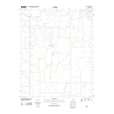 2010 Back2010 Print · USGSThis corner of Gray County in the early twenty-first century showcases a landscape defined by ranching roads and prairie hydrology. Genealogists and local historians can trace family land via Back and Kellerville, or locate landmarks like Hackberry Spring and the R D Back Dam.
 - 2010 Map of Pond Creek, 2010 Print
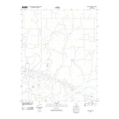 2010 Pond Creek2010 Print · USGSRanching life and water management define this corner of the Texas Panhandle during the early twenty-first century. Researchers can trace the layout of Denworth and identify family-named landmarks like Webb Ranch, Huselby Ranch, and the John C Haynes Lake Dam.
 - 2010 Map of Grandview School, 2010 Print
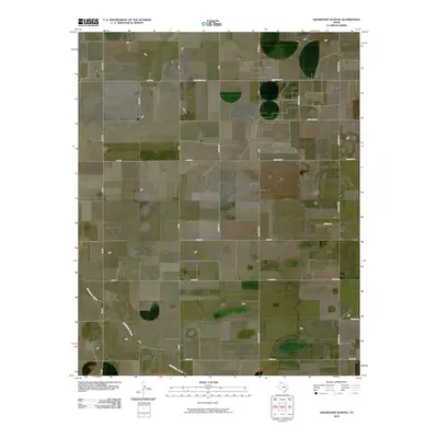 2010 Grandview School2010 Print · USGSGray County at the start of the 2010s reveals a structured Panhandle landscape of rural farm-to-market connectivity. Local historians can trace family-named routes like Baggerman Rd and Boydston Rd or follow the natural course of McClellan Creek.
 - 2010 Map of Deep Lake, 2010 Print
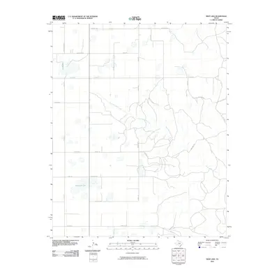 2010 Deep Lake2010 Print · USGSGray County ranching country is documented here during the early twenty-first century, showing the intersection of natural drainages and historical property lines. Genealogists can trace family-named routes such as Couts Thomas Rd, Gray Bros Rd, and Baggerman Rd near the waters of Wakefield Lake.
 - 2010 Map of Hudgens Ranch, 2010 Print
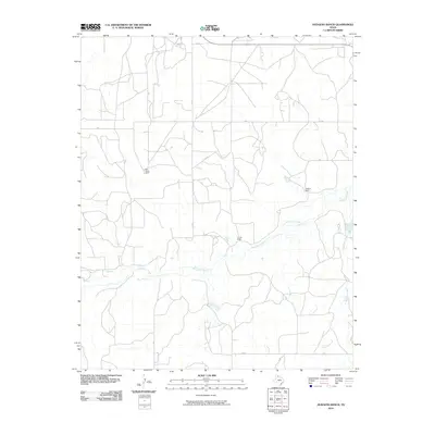 2010 Hudgens Ranch2010 Print · USGSGray County ranching country at the start of the new millennium is defined by its wide-open cattle ranges and prairie creek beds. Genealogists and local historians can trace family landholdings and rural junctions like Dial-Dickey Ranch, Pursley Ranch, and the Gray Y crossroads.
 - 2010 Map of Alanreed, 2010 Print
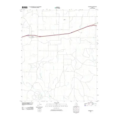 2010 Alanreed2010 Print · USGSAlanreed and the surrounding High Plains are captured here during the first decade of the millennium. Local researchers can trace rural land divisions along Whitefish Creek and Peterson Creek, or locate landmarks like the Cubine Lake Dam and the heart of Alanreed.
 - 2010 Map of Groom, 2010 Print
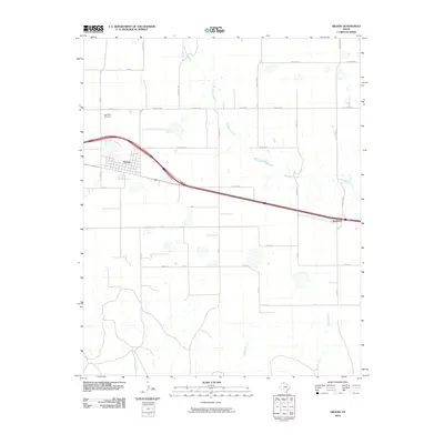 2010 Groom2010 Print · USGSThe Texas Panhandle township of Groom and the surrounding ranchlands are documented here at the turn of the decade. Researchers can trace the local watercourses of McClellan Creek and Sandy Creek or locate Saint Mary Cemetery and the settlement of Boydston.
 - 2010 Map of Hoover, 2010 Print
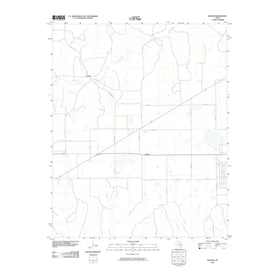 2010 Hoover2010 Print · USGSThe Texas Panhandle's open plains are documented at the start of the twenty-first century, centered on the settlements of Heaton and Hoover. Genealogists and local historians can trace the paths of Red Deer Creek and Thut Creek alongside ranch roads and county lines.
 - 2010 Map of Laketon, 2010 Print
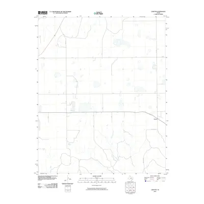 2010 Laketon2010 Print · USGSThe Texas Panhandle in the early twenty-first century is defined by the vast agricultural grid surrounding Laketon. Genealogists and land researchers can trace property boundaries and rural homesteads along Gray 8 Rd and the banks of Cantonment Creek.
 - 2010 Map of Pond Creek NW, 2010 Print
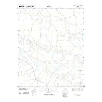 2010 Pond Creek NW2010 Print · USGSGray County at the start of the decade reveals a Texas Panhandle landscape shaped by the North Fork Red River and a network of remote ranch roads. Researchers can trace the paths of Sand Creek and Cantonment Creek or locate named water features like Franklin Lakes.
 - 2010 Map of Kingsmill, 2010 Print
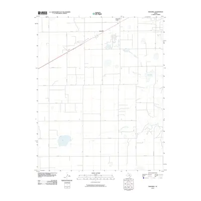 2010 Kingsmill2010 Print · USGSThis Gray County landscape in the Texas Panhandle is captured during a period of modern agricultural and energy development. Researchers can trace land ownership patterns through the extensive road grid and locate sites like Kingsmill Camp and Bell Lake.
 - 2010 Map of Pampa, 2010 Print
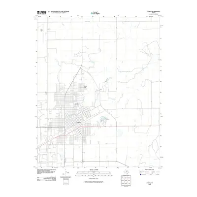 2010 Pampa2010 Print · USGSGray County settlement and infrastructure are at the forefront in this 2010 study of the Texas Panhandle. Genealogists and local historians can trace the urban growth of Pampa and locate specific sites like Fairview Cemetery and Perry Lefors Field.
 - 2010 Map of McLean, 2010 Print
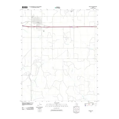 2010 McLean2010 Print · USGSMcLean and its surrounding ranchlands are captured in the early twenty-first century as the town transitions from its rail-hub origins. Researchers can trace local heritage at Hillcrest Cemetery or follow the paths of Skillet Creek and South Long Dry Creek through the county.
 - 2010 Map of Lefors, 2010 Print
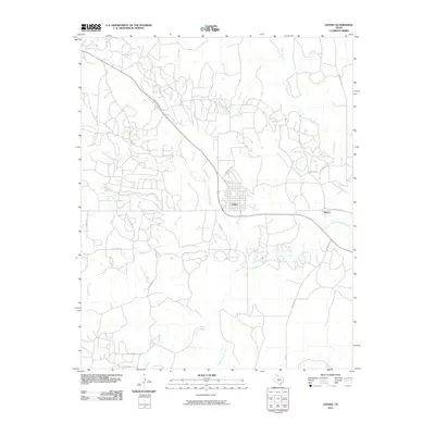 2010 Lefors2010 Print · USGSGray County ranching country and the river valley are captured here during the first decade of the 2000s. Researchers can trace the drainage of the North Fork Red River and locate rural sites along Hog Farm Rd and Tumbleweed Rd.
 - 2010 Map of Lake McConnell, 2010 Print
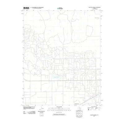 2010 Lake McConnell2010 Print · USGSIn the Texas Panhandle during the early twenty-first century, this Gray County landscape reveals a mix of aviation and rural industry. Researchers can trace the layout of Kingsmill Camp, identify the airfield at Perry Lefors Field, and locate Lake McConnell.
 - 2010 Map of Totty School, 2010 Print
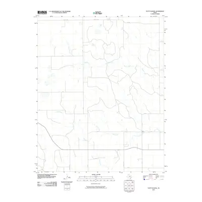 2010 Totty School2010 Print · USGSGray County ranch lands are captured here in the early twenty-first century, showing a landscape defined by seasonal creek beds and rural school sites. Trace the drainage of Sweetwater Creek and Cowboy Creek or locate the historic Totty School.
 - 2010 Map of Taylor Ranch, 2010 Print
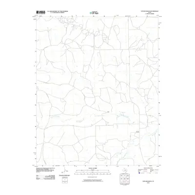 2010 Taylor Ranch2010 Print · USGSGray County ranch lands are captured here at the start of the 2010s, revealing a landscape defined by cattle country and dry creek beds. Family historians can locate the Elderidge Cemetery and trace the paths of North McClellan Creek and Taylor Ranch Rd.
 - 2010 Map of Jericho, 2010 Print
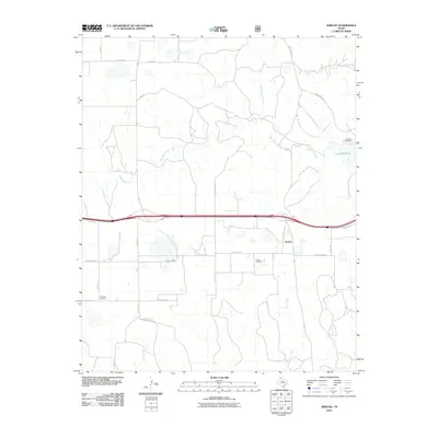 2010 Jericho2010 Print · USGSDonley County ranchlands are documented here in the early twenty-first century, centered on the settlement of Jericho. Family historians can locate the Jericho Cemetery and Boydston Cemetery, or trace watercourses like McClellan Creek and Big Sandy Creek.
 - 2010 Map of Rockledge, 2010 Print
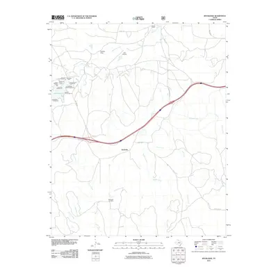 2010 Rockledge2010 Print · USGSDonley County, Texas, is mapped here in the early twenty-first century, showcasing a landscape of high plains ranching and reservoir recreation. Trace the road networks around Rockledge, explore the campgrounds near Lake McClellan, or locate the Johnson Ranch.
 - 2012 Map of Kingsmill, 2012 Print
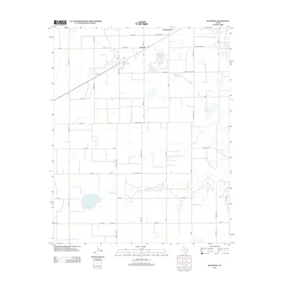 2012 Kingsmill2012 Print · USGSGray County ranching and industry are mapped in detail during the early 2010s, centered on the Kingsmill and Kingsmill Camp area. Genealogists and local historians can trace family-named landmarks like Webster Duncan Trak, Aderwald Rd, and the headwaters of the N Fork Red River.
 - 2012 Map of Pond Creek, 2012 Print
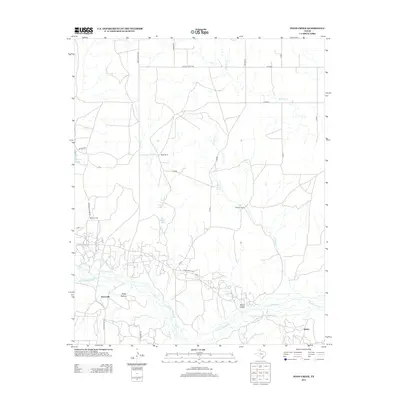 2012 Pond Creek2012 Print · USGSThe ranchlands of Gray County are captured here in the early twenty-first century as the N Fork Red River carves through the southern plains. Local historians can trace family-named sites like Harnes Ranch, the settlement of Denworth, and White Horse Spring.
 - 2012 Map of Taylor Ranch, 2012 Print
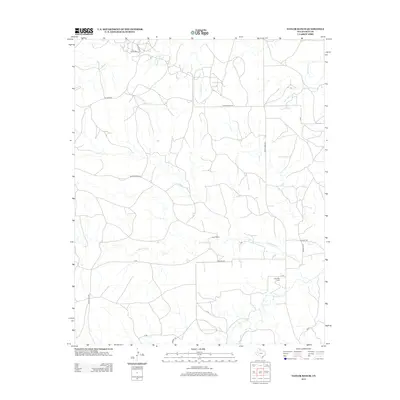 2012 Taylor Ranch2012 Print · USGSGray County ranching country is captured here in the early twenty-first century, showing a landscape defined by cattle operations and creek beds. Researchers can locate the Elderidge Cem and follow the paths of Little Turkey Cr and N McClellan Cr through the local terrain.
 - 2012 Map of Bowers City, 2012 Print
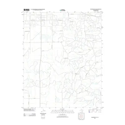 2012 Bowers City2012 Print · USGSBowers City and the surrounding Gray County plains are shown here in the early twenty-first century as the traditional ranching landscape continues to evolve. Researchers can trace family-named roads like Webster Duncan Trak and industry markers like Carbon Black Rd along the N Fork Red River.
 - 2012 Map of Laketon, 2012 Print
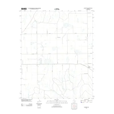 2012 Laketon2012 Print · USGSThe High Plains of the Texas Panhandle are captured here in the early 21st century, showing the small community of Laketon. Genealogists and local historians can trace ranching landmarks and historic property access via Rock House Rd, Franklin Ranch Rd, and the drainage of Cantonment Cr.
Showing maps 1-25 of 80
Top cities of Gray County
Frequently asked questions
- What are the different types of historical maps available for Gray County?
- What is the oldest map of Gray County?
- Where can I purchase historical maps of Gray County for my home or office?
- Where can I download high-res historical maps of Gray County?
- Are there historical topographic maps available for Gray County?
- Is there historical aerial imagery available for Gray County?
- Where are historical maps of Gray County sourced from?