2010s Maps of Hutchinson County, Texas
Explore 92 historic maps of Hutchinson County from the 2010s. These maps offer a rare glimpse into what life looked like during the 2010s — showing old roads, neighborhoods, homes, and landmarks that have changed or disappeared over time.
Whether you're researching your family's past, planning a metal detecting trip, or studying how Hutchinson County's landscape evolved across the 2010s, these high-resolution maps are a powerful tool for exploring the history of this region.
- Focus on a specific era: All maps on this page are from the 2010s, giving you a focused view of this time period.
- See what’s changed: Compare century-old streets, trails, and buildings to today's modern landscape using overlays and satellite layers.
- Research with precision: Use these maps for genealogy, historical research, land use analysis, or educational projects.
- View, download, or print: Maps are fully viewable online in high resolution, and can be downloaded or printed for your own records.
Start exploring Hutchinson County's history through authentic maps from the 2010s. This is your window into the past.
Hutchinson County, TX maps
(92)- 2010 Map of Camp Creek, 2010 Print
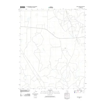 2010 Camp Creek2010 Print · USGSMoore County ranching country is captured here in the early twenty-first century, showing the rural infrastructure and waterways of the Panhandle. Researchers can trace the path of Camp Creek and Bugbee Creek or locate landmarks like Herring Ranch.
 - 2010 Map of Pringle, 2010 Print
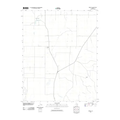 2010 Pringle2010 Print · USGSThe high plains of Hutchinson County come into focus during the early twenty-first century, showing a landscape defined by ranching and rural infrastructure. Genealogists and researchers can locate the Pringle settlement and the Rocking D Ranch, or trace the drainage of Big Creek and Cottonwood Creek.
 - 2010 Map of Garden Springs, 2010 Print
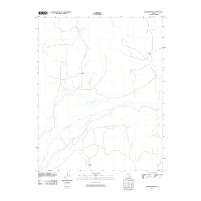 2010 Garden Springs2010 Print · USGSThe ranchlands of Hutchinson County are mapped here in the early 2000s, centered on the Canadian River corridor. Researchers can trace local landmarks like Garden Springs, Morrison Ranch, and the remote Pats Creek Camp.
 - 2010 Map of Morse, 2010 Print
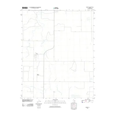 2010 Morse2010 Print · USGSHutchinson County at the turn of the twenty-first century reveals a landscape defined by the winding paths of North Palo Duro Creek and South Palo Duro Creek. Researchers can trace the rural road network connecting the settlement of Morse to the Lieb Cemetery.
 - 2010 Map of Pollard Creek NE, 2010 Print
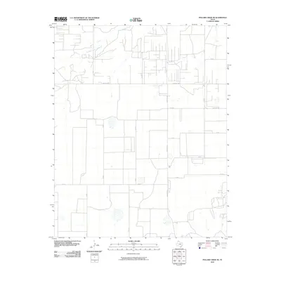 2010 Pollard Creek NE2010 Print · USGSThe High Plains of the Texas Panhandle are captured here in the early twenty-first century, showing a landscape shaped by ranching and a rigid section-line road network. Genealogists and land researchers can trace property boundaries and local routes like Ranch Rd 1598 and the banks of South Palo Duro Creek.
 - 2010 Map of McBride, 2010 Print
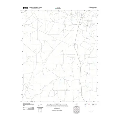 2010 McBride2010 Print · USGSCarson County's industrial and ranching landscape is captured here during the early twenty-first century. Researchers can locate specialized sites like the Burnett Oil Field and Sixtysix Sixtysix Ranch, along with the small communities of Hillard and McBride.
 - 2010 Map of Adobe Creek, 2010 Print
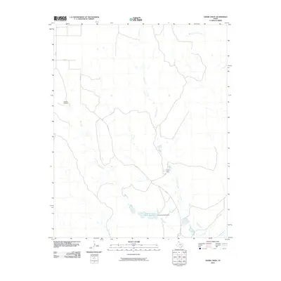 2010 Adobe Creek2010 Print · USGSHutchinson County ranch lands are detailed here in the early twenty-first century, showing the intersection of water management and cattle territory. Researchers can trace the layout of the Turkey Track Ranch and its nearby Turkey Track Ranch Reservoir along the winding Adobe Creek.
 - 2010 Map of Phillips, 2010 Print
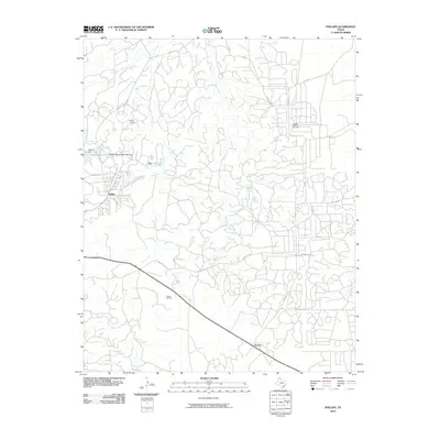 2010 Phillips2010 Print · USGSThe Texas Panhandle oil economy is on full display in this 2010 study of the industrial landscape near Borger. Researchers can trace the layout of Phillips and Texroy alongside critical infrastructure like the Borger Oil Field and the Pantex Reservoir.
 - 2010 Map of Borger, 2010 Print
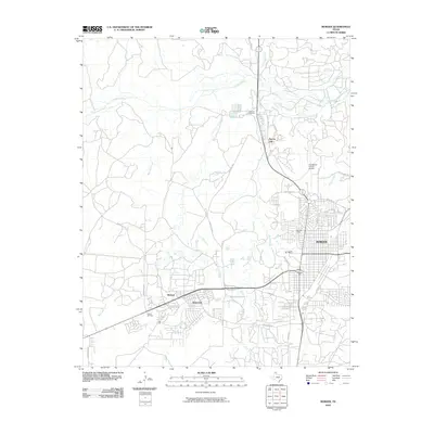 2010 Borger2010 Print · USGSBorger and the surrounding High Plains industrial landscape are captured here in the early twenty-first century. Genealogists and historians can trace local development near Borger, including Electric City, Bunavista, and the Pantex Oil Field.
 - 2010 Map of Plemons, 2010 Print
 2010 Plemons2010 Print · USGSThe Texas Panhandle near the old townsite of Plemons is shown here during a period of active energy production and ranching. Researchers can trace the winding Canadian River and locate industrial landmarks like the Dial Oil Field and Bugby Creek.
 - 2010 Map of Morse SE, 2010 Print
 2010 Morse SE2010 Print · USGSHutchinson County in the early twenty-first century shows a landscape dominated by ranching and agriculture. Researchers can trace rural property boundaries and drainage patterns along Horse Creek and key local corridors like Fm 281 and Co Rd 16.
 - 2010 Map of Borger SE, 2010 Print
 2010 Borger SE2010 Print · USGSHutchinson County remains a landscape of industrial energy and natural drainage at the turn of the decade. Researchers can trace the extent of the Garner Oil Field and the complex reach of the Dixon Creek and Bear Creek tributary systems.
 - 2010 Map of Skellytown NW, 2010 Print
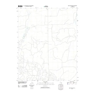 2010 Skellytown NW2010 Print · USGSHutchinson County ranch land and rural corridors are captured here during the first decade of the millennium. Researchers can trace local water features like Jims Lake and the paths of Spring Creek and White Deer Creek.
 - 2010 Map of Skellytown NE, 2010 Print
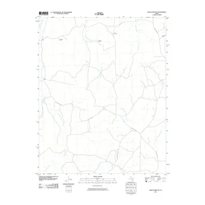 2010 Skellytown NE2010 Print · USGSHutchinson County ranchlands are captured here in the early twenty-first century, showing a landscape defined by cattle operations and seasonal watercourses. Genealogists and historians can locate family landmarks like Price Ranch and West Camp or trace the winding path of White Deer Creek.
 - 2010 Map of Spearman SE, 2010 Print
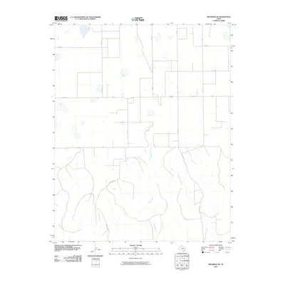 2010 Spearman SE2010 Print · USGSHutchinson County at the turn of the decade showcases the grid-like expansion of Texas Panhandle ranching and transport. Researchers can trace local drainage patterns along Pats Creek and follow early road corridors like Brainard Rd and Fm 281.
 - 2010 Map of Holt, 2010 Print
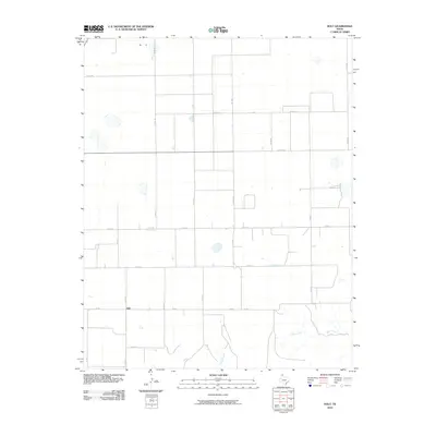 2010 Holt2010 Print · USGSThe rural settlement of Holt and the surrounding High Plains are captured here in the early twenty-first century. Researchers can trace the path of Adobe Creek and Johns Creek through the prairie landscape alongside family-named routes like Co Rd A.
 - 2010 Map of Adobe Creek SE, 2010 Print
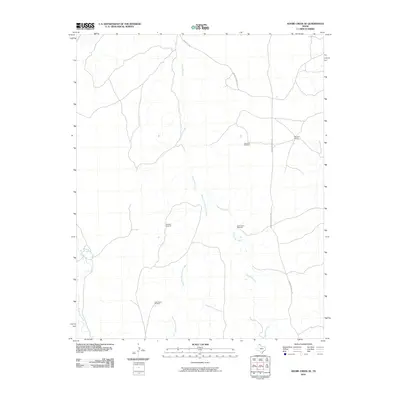 2010 Adobe Creek SE2010 Print · USGSHutchinson County ranching lands are captured here in the early twenty-first century as part of the Adobe Creek SE quadrangle. Researchers can locate specific pastoral landmarks like Morrison Ranch and several named water points including Cake House Windmill and North Camp Windmill.
 - 2010 Map of Adobe Creek SW, 2010 Print
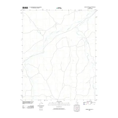 2010 Adobe Creek SW2010 Print · USGSHutchinson County, Texas, was characterized by its wide river valleys and sparse high plains roads during the early twenty-first century. Researchers can trace the hydrology of the Canadian River and its various tributaries including White Deer Creek and Carson Creek.
 - 2010 Map of Stinnett, 2010 Print
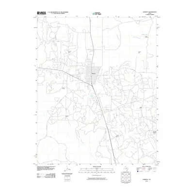 2010 Stinnett2010 Print · USGSHutchinson County's energy landscape is captured here in the early 21st century, centered on the oil and gas operations surrounding Stinnett. Researchers can trace industrial settlements and infrastructure like Supreme Camp, the Stinnett Oil Field, and the Canadian Gasoline Plant.
 - 2010 Map of Deal, 2010 Print
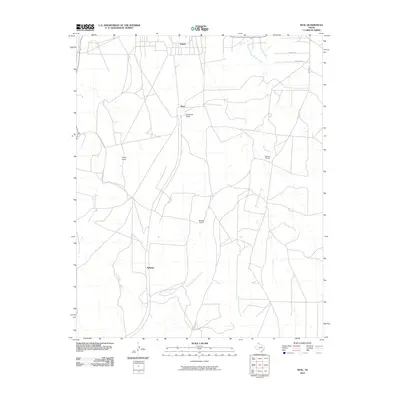 2010 Deal2010 Print · USGSThe Texas Panhandle comes into focus during the early twenty-first century, showing a landscape shaped by ranching and deep creek drainages. Genealogists and local historians can trace family land at Poling Ranch or Sanford Ranch and locate the small outpost of Wilhelm.
 - 2010 Map of Capps Switch SE, 2010 Print
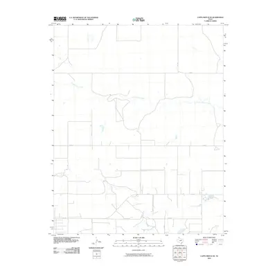 2010 Capps Switch SE2010 Print · USGSThe Texas Panhandle plains are mapped here in the early twenty-first century, showing the intersection of ranch roads and natural drainages. Researchers can trace the path of North Palo Duro Creek or locate rural properties along Fm 281 and Co Rd 7.
 - 2010 Map of Sanford, 2010 Print
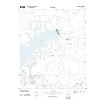 2010 Sanford2010 Print · USGSLake Meredith and the Canadian River valley are captured in this recent study of the Texas Panhandle. Genealogists and historians can trace the development of Oil City and Sanford, or locate family landmarks like Yake Ranch and Sanford Cemetery.
 - 2010 Map of Stinnett Station, 2010 Print
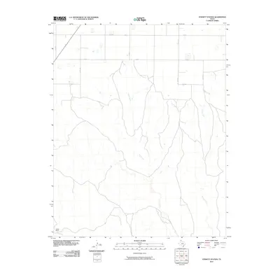 2010 Stinnett Station2010 Print · USGSHutchinson County ranching country is captured here in the early twenty-first century, showing a landscape defined by deep creek drainages and vast open range. Researchers can trace land use at Britain Ranch and follow the paths of Moore Creek and Bugby Creek.
 - 2012 Map of Morse SE, 2012 Print
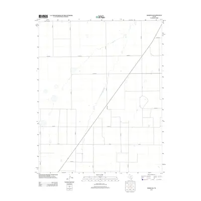 2012 Morse SE2012 Print · USGSHutchinson County, Texas, is captured here in the early twenty-first century, showing the intersection of Panhandle ranching life and modern road networks. Researchers can trace the path of Horse Cr or locate specific sections along FM-281 and CO ROAD BB.
 - 2012 Map of Morse, 2012 Print
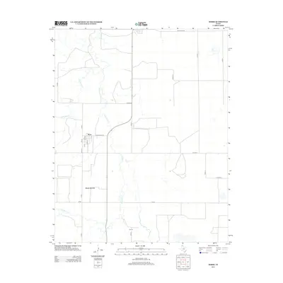 2012 Morse2012 Print · USGSHutchinson County in the early 2010s shows a landscape of systematic ranching and rural settlement. Genealogists and Panhandle researchers can locate the Lieb Cem and trace the street layouts of Morse and Morse Junction near the banks of S Palo Duro Cr.
Showing maps 1-25 of 92
Top cities of Hutchinson County
Frequently asked questions
- What are the different types of historical maps available for Hutchinson County?
- What is the oldest map of Hutchinson County?
- Where can I purchase historical maps of Hutchinson County for my home or office?
- Where can I download high-res historical maps of Hutchinson County?
- Are there historical topographic maps available for Hutchinson County?
- Is there historical aerial imagery available for Hutchinson County?
- Where are historical maps of Hutchinson County sourced from?