2000s (21st Century) Maps of Kimble County, Texas
Explore 130 historic maps of Kimble County from the 2000s (21st Century). These maps offer a rare glimpse into what life looked like during the 2000s — showing old roads, neighborhoods, homes, and landmarks that have changed or disappeared over time.
Whether you're researching your family's past, planning a metal detecting trip, or studying how Kimble County's landscape evolved across the 2000s, these high-resolution maps are a powerful tool for exploring the history of this region.
- Focus on a specific era: All maps on this page are from the 2000s, giving you a focused view of this time period.
- See what’s changed: Compare century-old streets, trails, and buildings to today's modern landscape using overlays and satellite layers.
- Research with precision: Use these maps for genealogy, historical research, land use analysis, or educational projects.
- View, download, or print: Maps are fully viewable online in high resolution, and can be downloaded or printed for your own records.
Start exploring Kimble County's history through authentic maps from the 2000s. This is your window into the past.
Kimble County, TX maps
(130)- 2010 Map of Roosevelt, 2010 Print
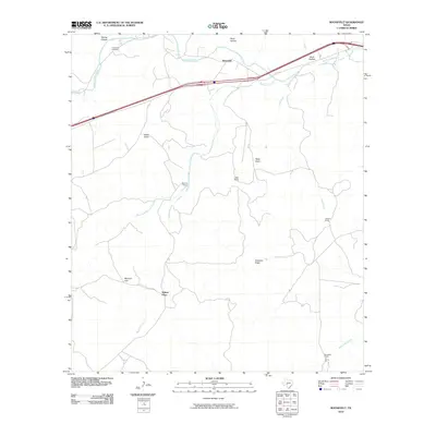 2010 Roosevelt2010 Print · USGSThe ranching country of Kimble County in the early 21st century remains anchored by the North Llano River and the settlement of Roosevelt. Researchers can trace old family holdings like Maynard Ranch and locate historical sites such as Cedar Hill Cemetery.
 - 2010 Map of McKegan Draw NE, 2010 Print
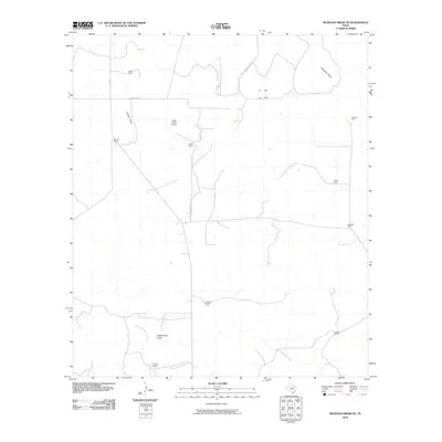 2010 McKegan Draw NE2010 Print · USGSSchleicher County ranchlands are documented here during the early 21st century, showing the enduring legacy of family-named holdings. Genealogists and researchers can trace local landmarks like Lopez Ranch Airport, Graham Ranch, and the path of West Bear Creek.
 - 2010 Map of McKegan Draw, 2010 Print
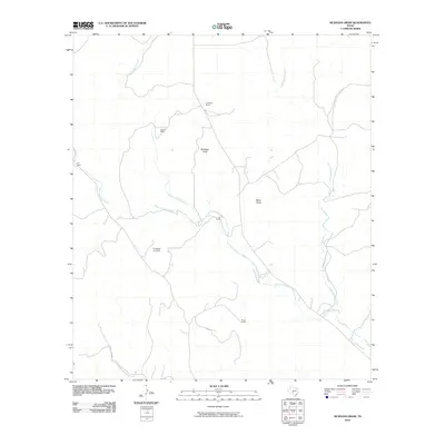 2010 McKegan Draw2010 Print · USGSKimble County ranching life is documented here in the early 2000s, showing a landscape defined by seasonal draws and family-named landholdings. Local historians can trace established properties like Chadwick Ranch and Holland Ranch or the private F-6 Ranch Air Field.
 - 2010 Map of Hill Ranch, 2010 Print
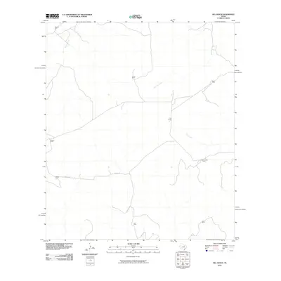 2010 Hill Ranch2010 Print · USGSKimble County ranching life is captured here in the early twenty-first century, showing the vast family holdings of the Texas Hill Country. Researchers can trace specific homesteads and landmarks like Hill Ranch, Shay Ranch, and the winding path of Salina Creek.
 - 2010 Map of Julio Draw, 2010 Print
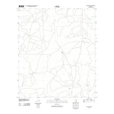 2010 Julio Draw2010 Print · USGSKimble County ranchlands are captured here in the early twenty-first century, showing a terrain defined by dry washes and essential watercourses. Researchers can trace land boundaries near Baker Ranch and follow the paths of Julio Draw, Gentry Creek, and FM 2291.
 - 2010 Map of Rust Ranch, 2010 Print
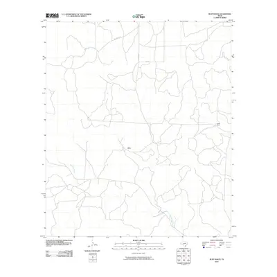 2010 Rust Ranch2010 Print · USGSKimble County ranch lands are captured here in the early twenty-first century, showing the intersection of family-named holdings and Hill Country hydrology. Researchers can trace land boundaries at Rust Ranch and Spiller Ranch or follow the paths of West Las Moras Creek and Bear Creek.
 - 2010 Map of Noxville, 2010 Print
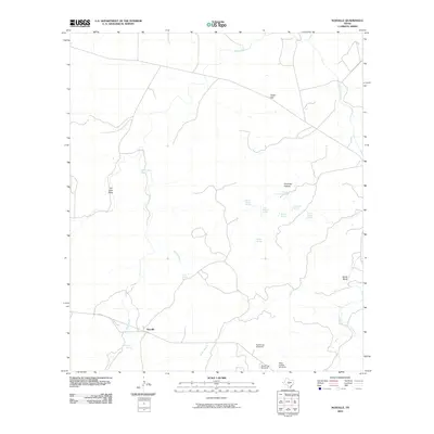 2010 Noxville2010 Print · USGSKimble County ranching and water resources are documented in this 2010 record of the Texas Hill Country. Researchers can trace land features from the James River to local landmarks like White Bluff, Noxville, and the Dicks Hollow Windmill.
 - 2010 Map of London, 2010 Print
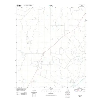 2010 London2010 Print · USGSLondon and the surrounding Menard County ranch lands are documented here in the early twenty-first century. Genealogists and researchers can locate the London Cemetery and trace the paths of Big Saline Creek and the Llano River through this rural landscape.
 - 2010 Map of Harper West, 2010 Print
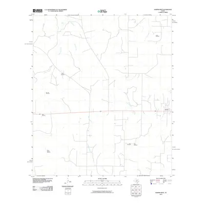 2010 Harper West2010 Print · USGSGillespie County ranching land and the headwaters of the Pedernales River are documented here during the early twenty-first century. Researchers can trace land use through namesake landmarks like Priess Pasture Windmill, Parker Spring, and the western outskirts of Harper.
 - 2010 Map of Tobe Branch, 2010 Print
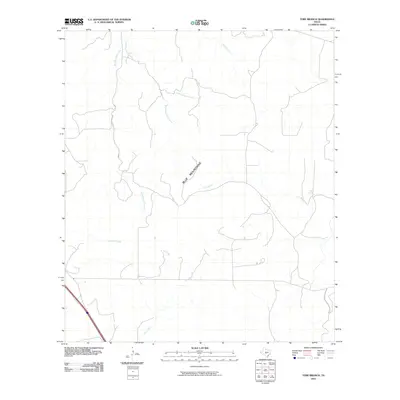 2010 Tobe Branch2010 Print · USGSKimble County's high ranch country is captured here in the early twenty-first century, showing a landscape defined by the Blue Mountains. Researchers can trace the intricate drainage of West Sycamore Creek, Tobe Branch, and the secluded Tobe Spring.
 - 2010 Map of Segovia, 2010 Print
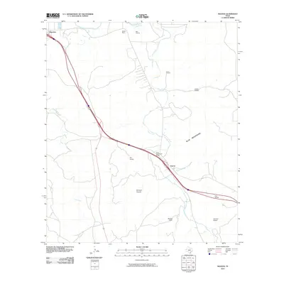 2010 Segovia2010 Print · USGSKimble County at the start of the new millennium shows the rural intersections of the Hill Country before modern expansion. Researchers can trace family history at Schrier Cemetery or follow the water from The Bogs to the Johnson Fork.
 - 2010 Map of Monument Mountain, 2010 Print
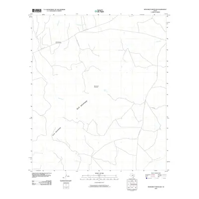 2010 Monument Mountain2010 Print · USGSKimble County ranchlands are documented here at the turn of the millennium, showing a landscape shaped by the Blue Mountains. Researchers can locate the Blue Mountain Community Hall and trace the paths of Rocky Creek and the James River.
 - 2010 Map of Old Noxville, 2010 Print
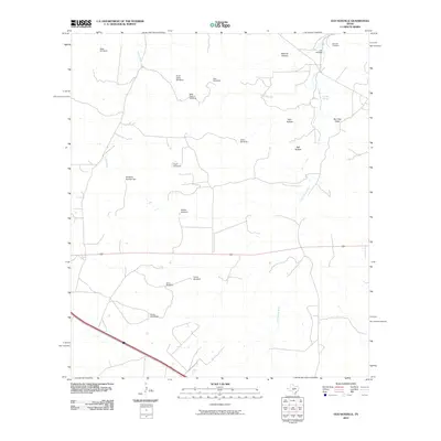 2010 Old Noxville2010 Print · USGSThe ranching country of Kimble County is shown in detail during the early twenty-first century, centered on the settlement of Old Noxville. Researchers can trace old family cemetery sites like Noxville Cemetery and find numerous named water landmarks including The Big Springs and Eclipse Windmill.
 - 2010 Map of Bailey Creek, 2010 Print
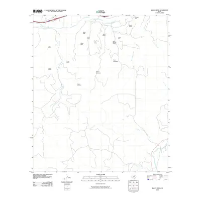 2010 Bailey Creek2010 Print · USGSKimble County's high ranch land is captured here in the early twenty-first century as the forks of the Llano River cut through the limestone plateau. Researchers can trace land features like Allison Mountain, Sanders Bluff, and the winding Bois d'Arc Creek.
 - 2010 Map of Sheep Run Creek, 2010 Print
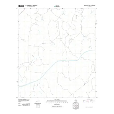 2010 Sheep Run Creek2010 Print · USGSKimble County's river-carved landscape is captured here in the early 2000s, centered on the winding Llano River and its many tributaries. Trace the network of rural passages and drainage points like Chimney Hollow, Rocky Creek, and Leon Creek.
 - 2010 Map of Mudge Draw, 2010 Print
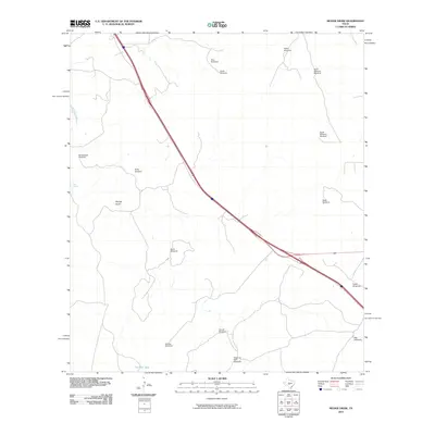 2010 Mudge Draw2010 Print · USGSKerr County ranch lands are documented here in the early 2000s, showcasing a landscape defined by scattered water points and seasonal draws. Genealogists and local historians can trace legacy ranching sites like Bierschwale Windmill, Garrett Windmill, and Mudge Draw.
 - 2010 Map of Yates, 2010 Print
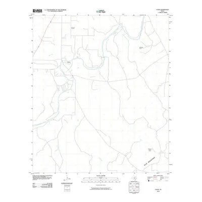 2010 Yates2010 Print · USGSKimble County's ranching country remains centered on the Llano River and the quiet community of Yates during this era. Researchers can locate the Red Creek Cemetery or trace early 21st-century aviation at the Robinson Ranch Airport.
 - 2010 Map of Big Draw, 2010 Print
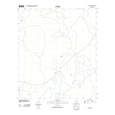 2010 Big Draw2010 Print · USGSThe Llano River winds through Kimble County during the early twenty-first century, showcasing the persistent rural character of the Texas Hill Country. Researchers can locate family landmarks like Gentry Creek Cemetery and trace the drainage of Big Draw and Teacup Mountain.
 - 2010 Map of Brewer Hollow, 2010 Print
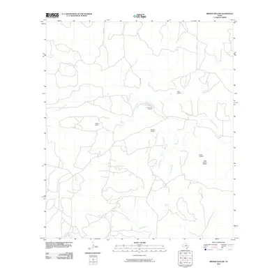 2010 Brewer Hollow2010 Print · USGSKimble County's ranching landscape is documented here in the early twenty-first century, showing a terrain shaped by vital water sources and deep draws. Researchers can locate the Bannowsky Cemetery and trace seasonal flows through Walton Draw and Brewer Hollow.
 - 2010 Map of The Falls, 2010 Print
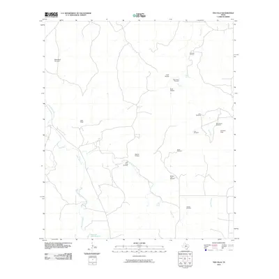 2010 The Falls2010 Print · USGSGillespie County, Texas, is mapped here in the early twenty-first century, showing a landscape defined by essential water sources and ranching heritage. Genealogists and local historians can locate Anderegg Cemetery and historic ranch sites like Rock House Windmill and Bierschwale Windmill.
 - 2010 Map of Junction, 2010 Print
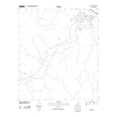 2010 Junction2010 Print · USGSThe Kimble County seat and its river confluence are documented in the early twenty-first century as the local geography transitions from water to upland. Researchers can trace the town’s relationship with the river at Lake Junction Dam and the Texas Technical University Center.
 - 2010 Map of Elm Slough, 2010 Print
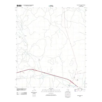 2010 Elm Slough2010 Print · USGSKimble County during the early twenty-first century shows a landscape where ranching roots and modern aviation meet along the river forks. Genealogists and local historians can locate the Bear Creek Cemetery, the community of Cleo, and landmarks like the Kimble County Airport.
 - 2010 Map of Telegraph, 2010 Print
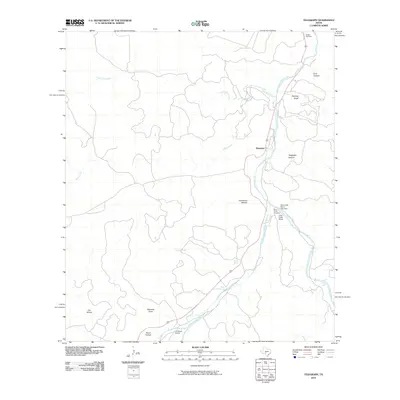 2010 Telegraph2010 Print · USGSThe South Llano River valley in Kimble County is captured here at the start of the decade, showing a landscape defined by deep draws and riverside ranching. Genealogists and local historians can locate Paint Creek Cemetery, Woaten Cemetery, and the springs at Seven Hundred Springs.
 - 2010 Map of Junction SE, 2010 Print
 2010 Junction SE2010 Print · USGSKerr County ranch lands are shown in detail during the early 2000s, reflecting the enduring rural character of the Edwards Plateau. Researchers can trace the winding paths of Chalk Creek, Dry Cedar Creek, and the topographic depth of Smith Hollow.
 - 2010 Map of Stark Creek, 2010 Print
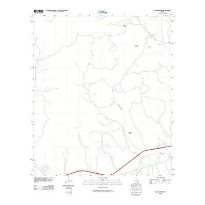 2010 Stark Creek2010 Print · USGSThe rural Hill Country landscape around Cleo is captured here in the early twenty-first century as ranching roads and interstate travel define the area. Researchers can trace the winding course of the North Llano River and find named landmarks like Bee Cave Hollow and Stark Creek.
Showing maps 1-25 of 130
Top cities of Kimble County
Frequently asked questions
- What are the different types of historical maps available for Kimble County?
- What is the oldest map of Kimble County?
- Where can I purchase historical maps of Kimble County for my home or office?
- Where can I download high-res historical maps of Kimble County?
- Are there historical topographic maps available for Kimble County?
- Is there historical aerial imagery available for Kimble County?
- Where are historical maps of Kimble County sourced from?