2000s (21st Century) Maps of Lampasas County, Texas
Explore 100 historic maps of Lampasas County from the 2000s (21st Century). These maps offer a rare glimpse into what life looked like during the 2000s — showing old roads, neighborhoods, homes, and landmarks that have changed or disappeared over time.
Whether you're researching your family's past, planning a metal detecting trip, or studying how Lampasas County's landscape evolved across the 2000s, these high-resolution maps are a powerful tool for exploring the history of this region.
- Focus on a specific era: All maps on this page are from the 2000s, giving you a focused view of this time period.
- See what’s changed: Compare century-old streets, trails, and buildings to today's modern landscape using overlays and satellite layers.
- Research with precision: Use these maps for genealogy, historical research, land use analysis, or educational projects.
- View, download, or print: Maps are fully viewable online in high resolution, and can be downloaded or printed for your own records.
Start exploring Lampasas County's history through authentic maps from the 2000s. This is your window into the past.
Lampasas County, TX maps
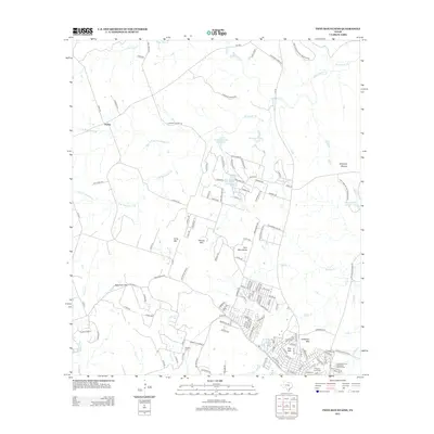
(100)- 2010 Map of Castle Peak, 2010 Print
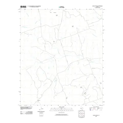 2010 Castle Peak2010 Print · USGSCovers Lampasas County, including Mills County, United States, and other nearby areas
 - 2010 Map of Evant, 2010 Print
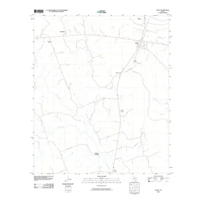 2010 Evant2010 Print · USGSCovers Lampasas County, including Evant, Fairview, and other nearby areas
 - 2010 Map of San Saba Peak, 2010 Print
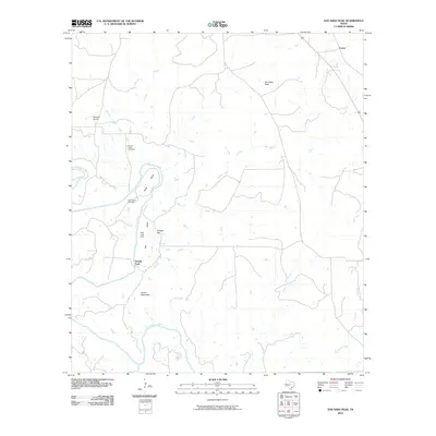 2010 San Saba Peak2010 Print · USGSCovers Lampasas County, including Castor, Double Ford, and other nearby areas
 - 2010 Map of Izoro, 2010 Print
 2010 Izoro2010 Print · USGSCovers Lampasas County, including Izoro, Coryell County, and other nearby areas
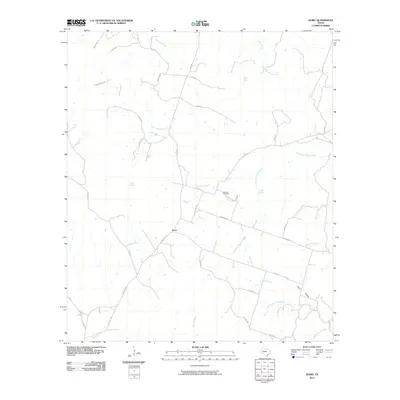
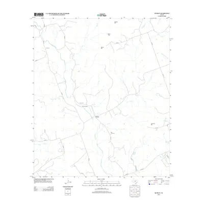
 - 2010 Map of Star, 2010 Print
 2010 Star2010 Print · USGSCovers Lampasas County, including Moline, Star, and other nearby areas
 - 2010 Map of Adamsville, 2010 Print
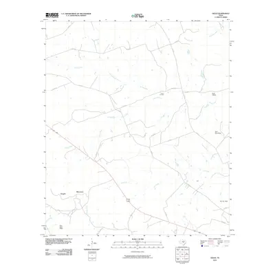
 2010 Adamsville2010 Print · USGSCovers Lampasas County, including Adamsville, United States, and other nearby areas
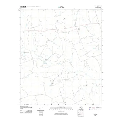
 - 2010 Map of Pearl, 2010 Print
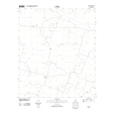 2010 Pearl2010 Print · USGSCovers Lampasas County, including Pearl, Bee House, and other nearby areas
 - 2010 Map of Antelope Gap, 2010 Print
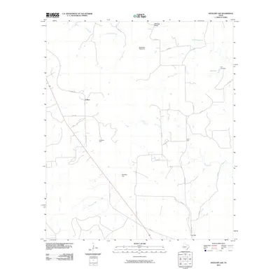 2010 Antelope Gap2010 Print · USGSCovers Lampasas County, including Pleasant Grove, Scallorn, and other nearby areas
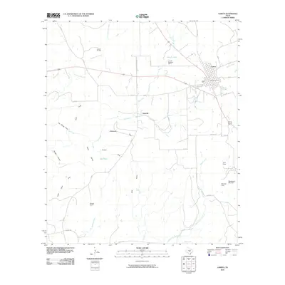
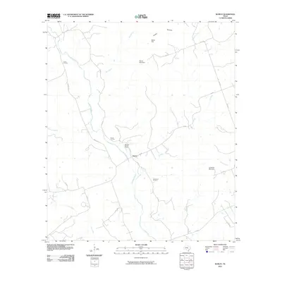
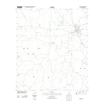
 - 2010 Map of Lampasas, 2010 Print
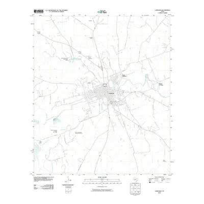 2010 Lampasas2010 Print · USGSCovers Lampasas County, including Lampasas, Revision, and other nearby areas
 - 2010 Map of Wolf Ridge, 2010 Print
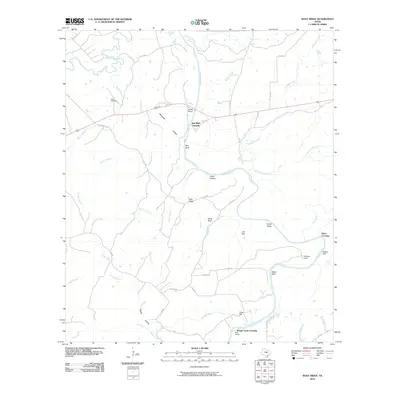 2010 Wolf Ridge2010 Print · USGSCovers Lampasas County, including Red Bluff Crossing, Rough Creek Crossing, and other nearby areas
 - 2010 Map of Gorman Falls, 2010 Print
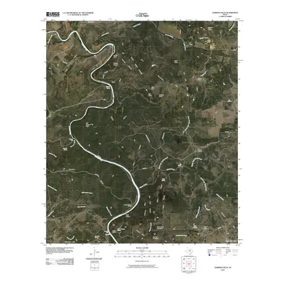 2010 Gorman Falls2010 Print · USGSCovers Lampasas County, including Burnet County, San Saba County, and other nearby areas
 - 2010 Map of Kempner, 2010 Print
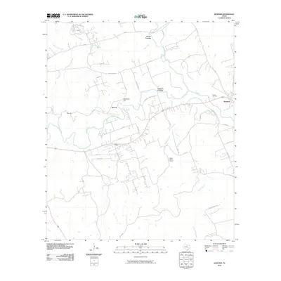 2010 Kempner2010 Print · USGSCovers Lampasas County, including Kempner, Brooks Crossing, and other nearby areas
 - 2010 Map of Lometa, 2010 Print
 2010 Lometa2010 Print · USGSCovers Lampasas County, including Lometa, Senterfitt, and other nearby areas
 - 2010 Map of Nix, 2010 Print
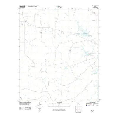 2010 Nix2010 Print · USGSCovers Lampasas County, including Nix, Burnet County, and other nearby areas
 - 2010 Map of Flat Top Peak, 2010 Print
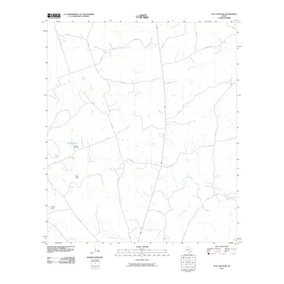 2010 Flat Top Peak2010 Print · USGSCovers Lampasas County, including United States, Texas, and other nearby areas
 - 2010 Map of Bend, 2010 Print
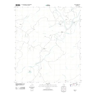 2010 Bend2010 Print · USGSCovers Lampasas County, including Chappel, High Valley, and other nearby areas
 - 2010 Map of Rumley, 2010 Print
 2010 Rumley2010 Print · USGSCovers Lampasas County, including Rumley, Coryell County, and other nearby areas
 - 2010 Map of Ogles, 2010 Print
 2010 Ogles2010 Print · USGSCovers Lampasas County, including Ogles, United States, and other nearby areas
 - 2010 Map of Twin Mountains, 2010 Print
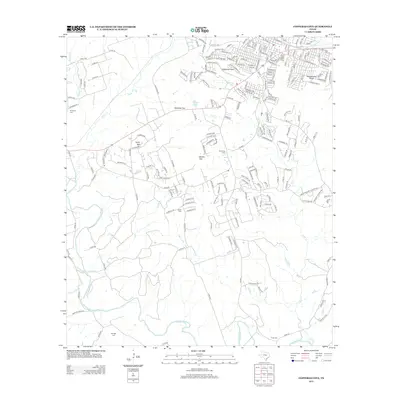
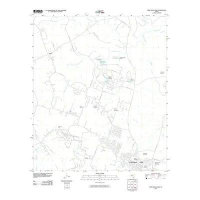 2010 Twin Mountains2010 Print · USGSCovers Lampasas County, including Copperas Cove, Topsey, and other nearby areas
 - 2010 Map of Copperas Cove, 2010 Print
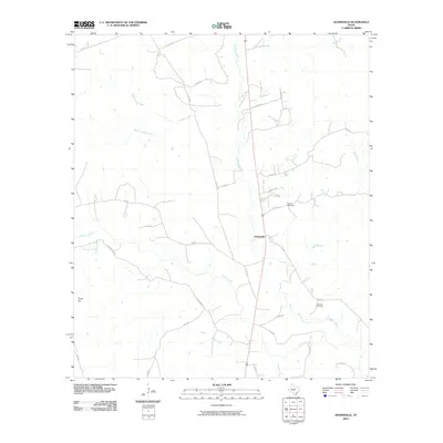
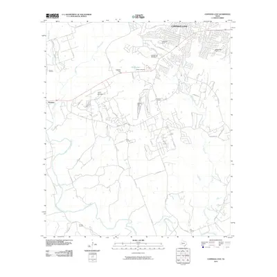 2010 Copperas Cove2010 Print · USGSCovers Lampasas County, including Copperas Cove, Kempner, and other nearby areas
 - 2012 Map of Twin Mountains, 2012 Print
 2012 Twin Mountains2012 Print · USGSCovers Lampasas County, including Copperas Cove, Topsey, and other nearby areas
 - 2012 Map of Copperas Cove, 2012 Print
 2012 Copperas Cove2012 Print · USGSCovers Lampasas County, including Copperas Cove, Kempner, and other nearby areas
 - 2012 Map of Star, 2012 Print
 2012 Star2012 Print · USGSCovers Lampasas County, including Moline, Star, and other nearby areas
 - 2012 Map of Rumley, 2012 Print
 2012 Rumley2012 Print · USGSCovers Lampasas County, including Rumley, Coryell County, and other nearby areas
 - 2012 Map of Lometa, 2012 Print
 2012 Lometa2012 Print · USGSCovers Lampasas County, including Lometa, Senterfitt, and other nearby areas
Showing maps 1-25 of 100
Top cities of Lampasas County
Frequently asked questions
- What are the different types of historical maps available for Lampasas County?
- What is the oldest map of Lampasas County?
- Where can I purchase historical maps of Lampasas County for my home or office?
- Where can I download high-res historical maps of Lampasas County?
- Are there historical topographic maps available for Lampasas County?
- Is there historical aerial imagery available for Lampasas County?
- Where are historical maps of Lampasas County sourced from?