2010s Maps of Lampasas County, Texas
Explore 80 historic maps of Lampasas County from the 2010s. These maps offer a rare glimpse into what life looked like during the 2010s — showing old roads, neighborhoods, homes, and landmarks that have changed or disappeared over time.
Whether you're researching your family's past, planning a metal detecting trip, or studying how Lampasas County's landscape evolved across the 2010s, these high-resolution maps are a powerful tool for exploring the history of this region.
- Focus on a specific era: All maps on this page are from the 2010s, giving you a focused view of this time period.
- See what’s changed: Compare century-old streets, trails, and buildings to today's modern landscape using overlays and satellite layers.
- Research with precision: Use these maps for genealogy, historical research, land use analysis, or educational projects.
- View, download, or print: Maps are fully viewable online in high resolution, and can be downloaded or printed for your own records.
Start exploring Lampasas County's history through authentic maps from the 2010s. This is your window into the past.
Lampasas County, TX maps
(80)- 2010 Map of Castle Peak, 2010 Print
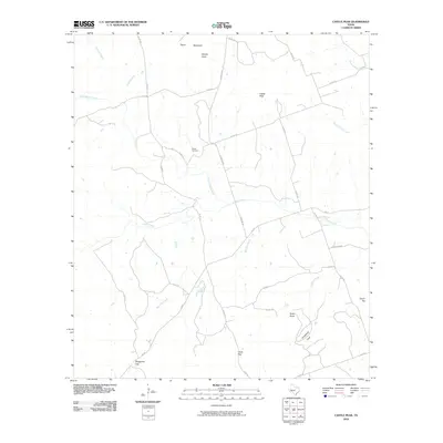 2010 Castle Peak2010 Print · USGSMills County, Texas, is mapped here in the early 2000s, showcasing a landscape of high peaks and winding creek beds. Researchers can locate Oneal Cemetery or trace the drainage of Simms Creek past landmarks like Castle Peak and Chalk Gap.
 - 2010 Map of Evant, 2010 Print
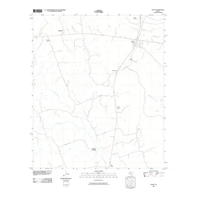 2010 Evant2010 Print · USGSEvant and the surrounding ranch lands are captured here in the early twenty-first century as the Lampasas River continues to shape the local geography. Researchers can locate several family-named burial sites including Langford Cemetery and Kingsbury Cemetery, or trace the path of Bennett Creek.
 - 2010 Map of San Saba Peak, 2010 Print
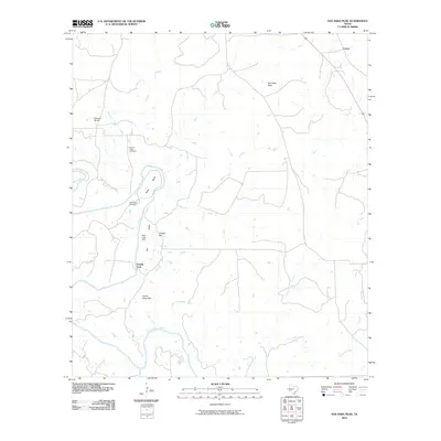 2010 San Saba Peak2010 Print · USGSTexas ranching country in Mills County appears in detail here during the early twenty-first century. Researchers can locate family landmarks like Nabors Creek Cemetery, the Double Ford river crossing, and the settlement of Castor.
 - 2010 Map of Izoro, 2010 Print
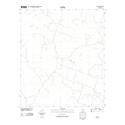 2010 Izoro2010 Print · USGSIzoro and the surrounding Lampasas County countryside are captured here in the early twenty-first century, showing a landscape defined by ranch roads and spring-fed creeks. Researchers can locate Hillsdale Cemetery and trace the paths of South Bee House Creek and Soldiers Spring Creek.
 - 2010 Map of Star, 2010 Print
 2010 Star2010 Print · USGSTexas ranching country in the early twenty-first century is defined here by its high points and water management. Researchers can trace family history at the Hurst Ranch Cemetery or locate specific property boundaries near McCasland Irrigation Lake and Star Mountain.
 - 2010 Map of Adamsville, 2010 Print
 2010 Adamsville2010 Print · USGSAdamsville and the surrounding river valleys are captured here at the start of the 2010s. Local researchers can locate family sites at Straley Cemetery and Townsen Cemetery or trace the winding course of the Lampasas River and Simms Creek.
 - 2010 Map of Pearl, 2010 Print
 2010 Pearl2010 Print · USGSCoryell County at the start of the twenty-first century remains a landscape of quiet rural settlements and vital water sources. Genealogists and local historians can trace the foundations of Pearl and Bee House while locating family-named landmarks like Fletchers Point and Manos Spring.
 - 2010 Map of Antelope Gap, 2010 Print
 2010 Antelope Gap2010 Print · USGSMills County at the start of the 2010s shows a landscape of quiet rural settlements and significant natural gaps. Genealogists and researchers can trace local connections between Pleasant Grove, Scallorn, and landmarks like Bread Tray Mountain or Clift Lake.
 - 2010 Map of Lampasas, 2010 Print
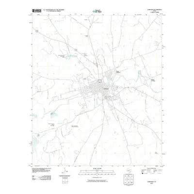 2010 Lampasas2010 Print · USGSThe Central Texas town of Lampasas is captured here in the early twenty-first century, showing its established street grid and surrounding ranch lands. Genealogists and local historians can locate Oak Hill Cemetery, trace the path of Sulphur Creek, or find landmarks like Gooch Spring.
 - 2010 Map of Wolf Ridge, 2010 Print
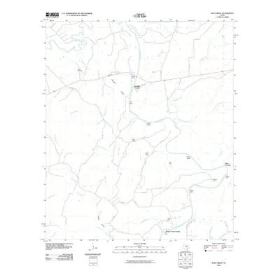 2010 Wolf Ridge2010 Print · USGSThe convergence of the San Saba and Colorado Rivers defines this Texas landscape in the early twenty-first century. Genealogists and local historians can trace legacy sites like Harris Cemetery, the site of Parks Mill, and river landmarks such as Red Bluff Crossing.
 - 2010 Map of Gorman Falls, 2010 Print
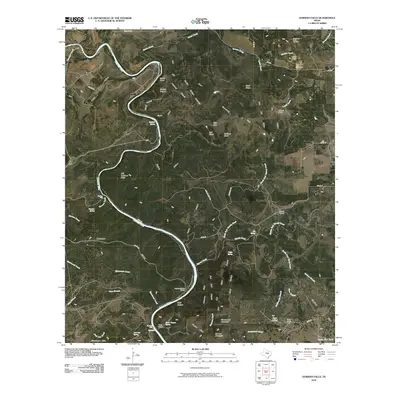 2010 Gorman Falls2010 Print · USGSThe Colorado River corridor in Burnet County is documented here during the early twenty-first century as a landscape of remote ranching and limestone breaks. Researchers can trace family-named sites such as Jackson Ranch and Vann Camp, or locate landmarks like Gorman Falls and the Southwest Ledge Quarries.
 - 2010 Map of Kempner, 2010 Print
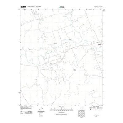 2010 Kempner2010 Print · USGSKempner and the surrounding Lampasas County countryside are captured here in the early twenty-first century as rural homesteads spread along the creeks. Researchers can locate Pickett Cemetery, the Kings Ranch Airport, and historic transit points like Brooks Crossing and Deadmans Cut.
 - 2010 Map of Lometa, 2010 Print
 2010 Lometa2010 Print · USGSThe ranching and rail lands of Lampasas County are documented here in the early 2000s. Researchers can locate the Long Cove Cemetery and the settlement of Senterfitt, or trace the winding paths of Pecan Draw and Salt Creek.
 - 2010 Map of Nix, 2010 Print
 2010 Nix2010 Print · USGSNorthwest Lampasas County was a landscape of quiet ranching and managed water resources during the early twenty-first century. Researchers can locate the community of Nix and its namesake Nix Cemetery, or trace the path of Pitt Creek past Graveyard Hollow.
 - 2010 Map of Flat Top Peak, 2010 Print
 2010 Flat Top Peak2010 Print · USGSThe Lampasas County ranchlands are captured here in the early twenty-first century, showing a landscape shaped by high peaks and winding creeks. Researchers can trace rural property access via CO RD 1 and locate landmarks like Boys Peak and Simmons Lake.
 - 2010 Map of Bend, 2010 Print
 2010 Bend2010 Print · USGSThe Colorado River loops through San Saba County in the early twenty-first century, a landscape of ranching outposts and quiet creek valleys. Researchers can trace rural lineages at the Rough Creek Cemetery or locate the small settlements of Chappel and Bend.
 - 2010 Map of Rumley, 2010 Print
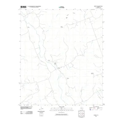 2010 Rumley2010 Print · USGSThe rural community of Rumley and the winding Lampasas River define this Central Texas landscape in the early twenty-first century. Genealogists and local historians can locate the Garner Cemetery, Rock Church Cemetery, and the aviation site at Marshall Ranch Airport.
 - 2010 Map of Ogles, 2010 Print
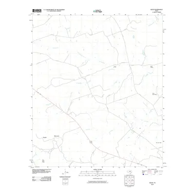 2010 Ogles2010 Print · USGSLampasas County in the early twenty-first century remains a landscape of high limestone ridges and winding creek beds. Genealogists and hikers can locate Center Cemetery or trace the rugged elevations of Knight Mountain and Twin Sister Peaks.
 - 2010 Map of Twin Mountains, 2010 Print
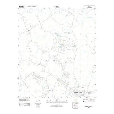 2010 Twin Mountains2010 Print · USGSThe hill country outskirts of Coryell County come into focus during the early twenty-first century as suburban expansion meets traditional ranch lands. Researchers can trace family history at Gotcher Cemetery or explore the rugged topography of Herzog Mountain and Beecham Gap.
 - 2010 Map of Copperas Cove, 2010 Print
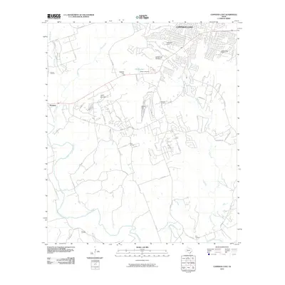 2010 Copperas Cove2010 Print · USGSThe hill country outskirts of Copperas Cove come alive in this 2010 survey of the Coryell County borderlands. Genealogists and historians can trace family ties at the Kempner Cemetery or the Smith Cemetery, and locate the historic Copperas Cove Stagestop and Post Office.
 - 2012 Map of Twin Mountains, 2012 Print
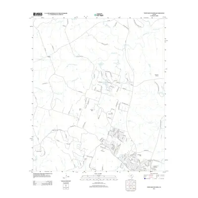 2012 Twin Mountains2012 Print · USGSCopperas Cove and the surrounding ranch lands are shown here at a time of notable residential expansion. Local researchers can trace family landmarks and peaks like Twin Mountains, Beecham Gap, and the Gotcher Cem near the military boundary.
 - 2012 Map of Copperas Cove, 2012 Print
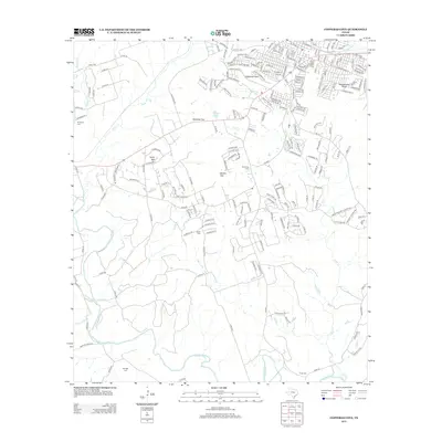 2012 Copperas Cove2012 Print · USGSThe growing residential grid of Copperas Cove meets the rural Texas landscape in the early twenty-first century. Researchers can locate several historical burial sites including Kempner Cem and Smith Cem, or trace the rugged terrain of Taylor Mtn and Ogletree Gap.
 - 2012 Map of Star, 2012 Print
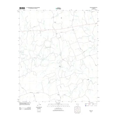 2012 Star2012 Print · USGSThe ranching country of Lampasas County is captured here in the early twenty-first century as modern infrastructure meets historic gaps. Genealogists and local historians can trace family land and landmarks like the Hurst Ranch Cem, Payne Gap, and Star Mtn.
 - 2012 Map of Rumley, 2012 Print
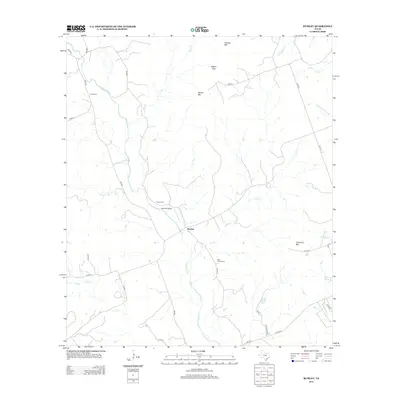 2012 Rumley2012 Print · USGSIn the ranching country of central Texas, this map shows the rural community of Rumley and the winding Lampasas River in the early 2010s. Researchers can locate historic local burial grounds like Rock Church Cem and Garner Cem among the hills of Franklin Mtn.
 - 2012 Map of Lometa, 2012 Print
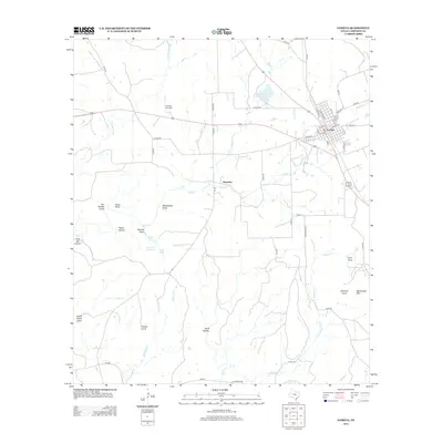 2012 Lometa2012 Print · USGSLometa and the surrounding Texas rangelands are shown here in the early twenty-first century, centered on the intersection of major highways and local grids. Researchers can locate Long Cove Cem, the site of Senterfitt, and landmarks like Messanger Mtn.
Showing maps 1-25 of 80
Top cities of Lampasas County
Frequently asked questions
- What are the different types of historical maps available for Lampasas County?
- What is the oldest map of Lampasas County?
- Where can I purchase historical maps of Lampasas County for my home or office?
- Where can I download high-res historical maps of Lampasas County?
- Are there historical topographic maps available for Lampasas County?
- Is there historical aerial imagery available for Lampasas County?
- Where are historical maps of Lampasas County sourced from?