2010s Maps of Randall County, Texas
Explore 108 historic maps of Randall County from the 2010s. These maps offer a rare glimpse into what life looked like during the 2010s — showing old roads, neighborhoods, homes, and landmarks that have changed or disappeared over time.
Whether you're researching your family's past, planning a metal detecting trip, or studying how Randall County's landscape evolved across the 2010s, these high-resolution maps are a powerful tool for exploring the history of this region.
- Focus on a specific era: All maps on this page are from the 2010s, giving you a focused view of this time period.
- See what’s changed: Compare century-old streets, trails, and buildings to today's modern landscape using overlays and satellite layers.
- Research with precision: Use these maps for genealogy, historical research, land use analysis, or educational projects.
- View, download, or print: Maps are fully viewable online in high resolution, and can be downloaded or printed for your own records.
Start exploring Randall County's history through authentic maps from the 2010s. This is your window into the past.
Randall County, TX maps
(108)- 2010 Map of Arney, 2010 Print
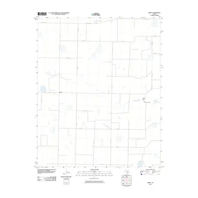 2010 Arney2010 Print · USGSThe Texas Panhandle's agricultural grid is meticulously documented in this survey from the early twenty-first century. Genealogists and local historians can trace the rural infrastructure around Arney, identifying landmarks like the Cone Johnson Dam and North Tule Lake.
 - 2010 Map of Happy Hereford Ranch, 2010 Print
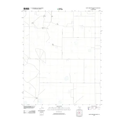 2010 Happy Hereford Ranch2010 Print · USGSRandall County ranch lands appear in the early twenty-first century as a sprawling network of pasture and water infrastructure. Genealogists and historians can trace the bounds of the Happy Hereford Ranch and locate functional landmarks like the Schoolhouse Windmill and Oil Well Windmill.
 - 2010 Map of Nance Ranch, 2010 Print
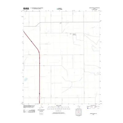 2010 Nance Ranch2010 Print · USGSRandall County ranching and academic research lands are documented here in the early twenty-first century. Genealogists and researchers can trace the area surrounding Saint Paul Cemetery, the Nanace Ranch, and the drainages of Timber Creek.
 - 2010 Map of Fairview, 2010 Print
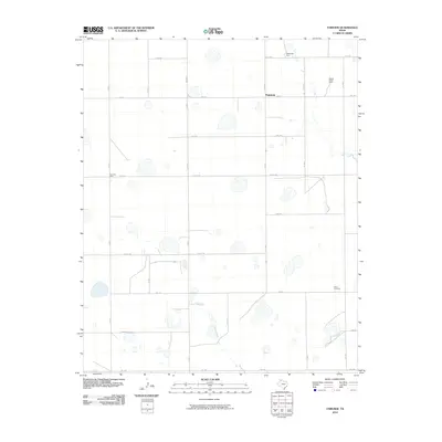 2010 Fairview2010 Print · USGSArmstrong County agriculture is on full display here in the early twenty-first century, showing a landscape defined by systematic farmsteads and a rigid road grid. Genealogists and local historians can locate family holdings like Valleyview Farm or Fourway Farm along phonetic routes such as Kilo Rd and Juliet Rd.
 - 2010 Map of Tule Lake NW, 2010 Print
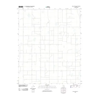 2010 Tule Lake NW2010 Print · USGSThe rural Panhandle landscape appears in its modern agricultural form, dominated by a vast grid of farm-to-market roads and scattered playa lakes. Genealogists and local historians can trace specific land divisions along FM 1881, Co Rd 15, and the northern County Line Rd.
 - 2010 Map of Bivins Lake, 2010 Print
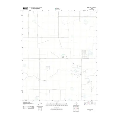 2010 Bivins Lake2010 Print · USGSRandall County ranchlands and water systems are documented in detail during the first decade of the 2000s. Genealogists and land researchers can trace the boundaries of the Forrester Ranch and locate local landmarks like Bivins Lake and the Negro Arroyo.
 - 2010 Map of Dawn, 2010 Print
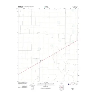 2010 Dawn2010 Print · USGSIn the heart of Deaf Smith County during the early 21st century, this map captures the agricultural grid surrounding the community of Dawn. Researchers can trace the section lines and rural infrastructure along Church Rd and Tierra Blanca Creek.
 - 2010 Map of Bushland, 2010 Print
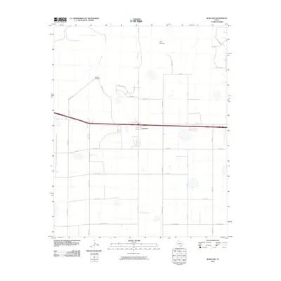 2010 Bushland2010 Print · USGSBushland and the surrounding Potter County plains are captured here during a period of steady rural expansion. Genealogists and local historians can trace family-named landmarks and water sources like Goat Mountain, Ida Lake, and the winding Tecovas Creek.
 - 2010 Map of Tulia NW, 2010 Print
 2010 Tulia NW2010 Print · USGSRandall County agriculture and High Plains drainage are captured here during the first decade of the millennium. Researchers can trace the path of North Tule Draw or locate rural landmarks along FM 1075 and W Happy West Rd.
 - 2010 Map of Umbarger, 2010 Print
 2010 Umbarger2010 Print · USGSUmbarger and the surrounding High Plains are captured here in the early twenty-first century, showing a landscape defined by ranching and rail. Researchers can locate Saint Mary Cemetery and trace the path of Tierra Blanca Creek past the Flying Mare Ranch.
 - 2010 Map of Ogg, 2010 Print
 2010 Ogg2010 Print · USGSRandall County's wide-open agricultural landscape is captured here in the early 2000s, showing a region defined by its rural grid and isolated settlements. Researchers can trace the path of Happy Draw or locate specific points like Ogg and Black Camp.
 - 2010 Map of Nazareth NW, 2010 Print
 2010 Nazareth NW2010 Print · USGSRandall County's panhandle landscape is seen here in the early 21st century, defined by a rigid grid of rural transport and the natural path of Middle Tule Draw. Trace the local road network through family-land parcels along County Line Rd and Fm 1075.
 - 2010 Map of Buffalo Stadium, 2010 Print
 2010 Buffalo Stadium2010 Print · USGSThe outskirts of Amarillo are caught in a moment of modern growth during the early twenty-first century. Genealogists and local historians can trace developments near Memory Gardens, Gartrell Field, and the banks of Palo Duro Creek.
 - 2010 Map of Canyon, 2010 Print
 2010 Canyon2010 Print · USGSCanyon and the surrounding Randall County ranch lands are documented here during a period of modern growth. Genealogists and local historians can locate Dreamland Cemetery and trace the paths of Tierra Blanca Creek and the settlement at Cleta.
 - 2010 Map of Happy, 2010 Print
 2010 Happy2010 Print · USGSThe Swisher County plains come alive in the 2010s, showing the precise layout of the town of Happy and its surrounding agricultural grid. Genealogists and local historians can trace family locations along N Western Ave, locate the Happy Cemetery, or follow the path of Happy Draw.
 - 2010 Map of Wesley Point, 2010 Print
 2010 Wesley Point2010 Print · USGSThe High Plains of Randall County meet the dramatic breaks of Cita Canyon in this recent survey of the Texas Panhandle. Researchers can trace the local drainage of South Cita Creek and Happy Draw, or locate established landmarks like Stanley Schaeffer Lake and the Cita Canyon Methodist Camp.
 - 2010 Map of Pullman, 2010 Print
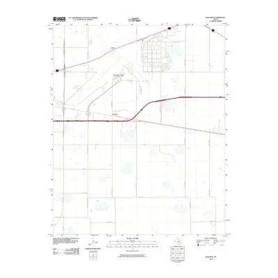 2010 Pullman2010 Print · USGSThe outskirts of Amarillo in the early 21st century reveal a landscape shaped by aviation history and High Plains ranching. You can trace the perimeter of the Rick Husband Amarillo International Airport or locate the rural communities of Pullman and Folsom.
 - 2010 Map of Buffalo Lake SW, 2010 Print
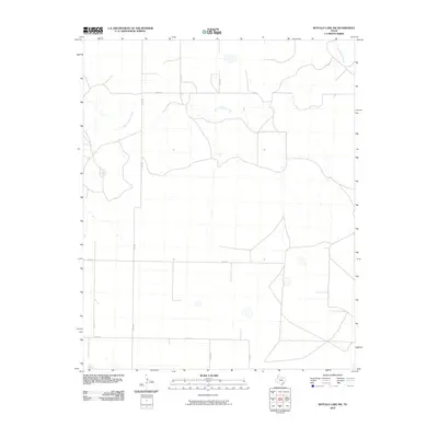 2010 Buffalo Lake SW2010 Print · USGSRandall County's wide-open High Plains are documented here in the early twenty-first century, showing a landscape shaped by hydrology and grid-based transit. You can trace the winding course of Tierra Blanca Creek as it intersects rural routes like FM 1259 and CO RD BB.
 - 2010 Map of Canyon SE, 2010 Print
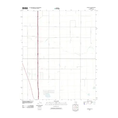 2010 Canyon SE2010 Print · USGSRandall County at the start of the new millennium shows a landscape of expansive Panhandle plains being gradually reshaped by suburban growth. Genealogists and local historians can trace family land along South Cita Creek or follow the grid of section roads like Lawrence Rd and S Georgia St.
 - 2010 Map of The Palisades, 2010 Print
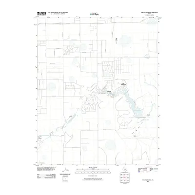 2010 The Palisades2010 Print · USGSThe Texas Panhandle's dramatic canyon country comes into focus in this late-era survey of the southern Amarillo outskirts. Researchers can trace the development of lakeside communities like The Palisades and Lake Tanglewood or locate family-named sites like Currie Ranch.
 - 2010 Map of Thomas Ranch, 2010 Print
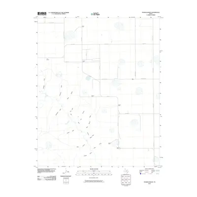 2010 Thomas Ranch2010 Print · USGSRandall County ranchlands meet the northern reaches of the canyon country in this early twenty-first-century survey. Researchers can trace historic family-named holdings like Smoot Ranch and Stevens Ranch or map the complex drainages of Chalk Hollow and Palo Duro Canyon.
 - 2010 Map of Washburn, 2010 Print
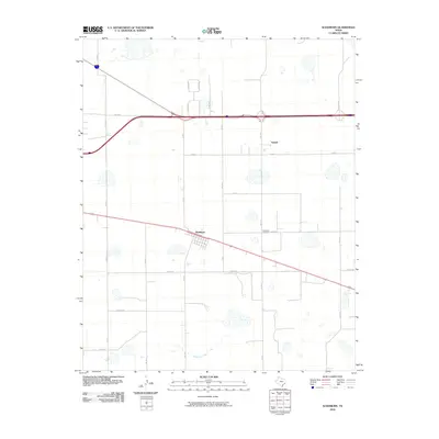 2010 Washburn2010 Print · USGSThe community of Washburn and the nearby settlement of Yarnall are captured in this Texas Panhandle landscape during the early twenty-first century. Researchers can trace local lineage at the Washburn Cemetery and follow rural routes like Bravo Rd and Mulberry Creek.
 - 2010 Map of Wildorado SW, 2010 Print
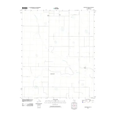 2010 Wildorado SW2010 Print · USGSRandall County ranch lands and rural infrastructure are captured here in the early twenty-first century. Genealogists and local historians can locate the Palo Duro Wildorado Cemetery and trace the paths of North Palo Duro Creek and Palo Duro Creek.
 - 2010 Map of Fortress Cliff, 2010 Print
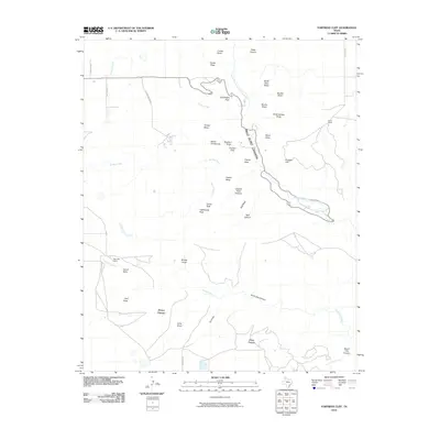 2010 Fortress Cliff2010 Print · USGSRandall County's dramatic canyonlands are captured here in the early twenty-first century, showing where the High Plains drop into deep red-rock breaks. Map collectors and researchers can locate landmarks like Lighthouse Peak, Krahn Ranch, and the massive Fortress Cliff.
 - 2010 Map of Wildorado, 2010 Print
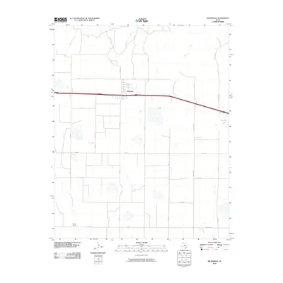 2010 Wildorado2010 Print · USGSThe High Plains of Oldham County are captured here in the early 21st century, centered on the town of Wildorado. Genealogists and local historians can trace family-named landmarks like Bynum Ranch or follow the paths of Frying Pan Rd and Ida Lake.
Showing maps 1-25 of 108
Top cities of Randall County
- Canyon historical maps
- Lake Tanglewood historical maps
- Timbercreek Canyon historical maps
- Palisades historical maps
Frequently asked questions
- What are the different types of historical maps available for Randall County?
- What is the oldest map of Randall County?
- Where can I purchase historical maps of Randall County for my home or office?
- Where can I download high-res historical maps of Randall County?
- Are there historical topographic maps available for Randall County?
- Is there historical aerial imagery available for Randall County?
- Where are historical maps of Randall County sourced from?