2000s (21st Century) Maps of Sterling County, Texas
Explore 125 historic maps of Sterling County from the 2000s (21st Century). These maps offer a rare glimpse into what life looked like during the 2000s — showing old roads, neighborhoods, homes, and landmarks that have changed or disappeared over time.
Whether you're researching your family's past, planning a metal detecting trip, or studying how Sterling County's landscape evolved across the 2000s, these high-resolution maps are a powerful tool for exploring the history of this region.
- Focus on a specific era: All maps on this page are from the 2000s, giving you a focused view of this time period.
- See what’s changed: Compare century-old streets, trails, and buildings to today's modern landscape using overlays and satellite layers.
- Research with precision: Use these maps for genealogy, historical research, land use analysis, or educational projects.
- View, download, or print: Maps are fully viewable online in high resolution, and can be downloaded or printed for your own records.
Start exploring Sterling County's history through authentic maps from the 2000s. This is your window into the past.
Sterling County, TX maps
(125)- 2010 Map of Sterling City, 2010 Print
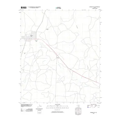 2010 Sterling City2010 Print · USGSSterling City at the start of the 2010s shows a high-plains settlement defined by the winding North Concho River. Researchers can trace local lineage at Montvale Cemetery or follow the paths of Sterling Creek and Bodcaw Draw through the town's outskirts.
 - 2010 Map of Glass Ranch, 2010 Print
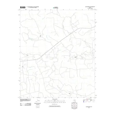 2010 Glass Ranch2010 Print · USGSSterling County ranching and energy production are in focus during the early 2000s in this detailed survey of the Texas interior. Researchers can trace the layout of the Herrell Oil Field and the Parochial Bade Oil Field alongside the historic Glass Ranch.
 - 2010 Map of Sterling City NW, 2010 Print
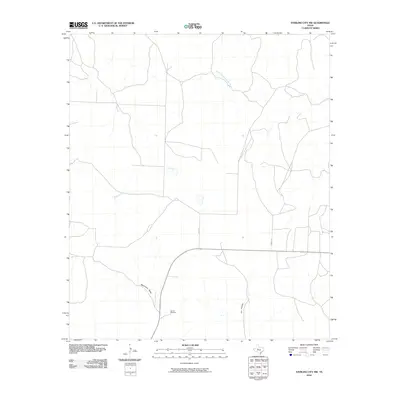 2010 Sterling City NW2010 Print · USGSSterling County at the start of the decade reveals a sparsely settled ranching landscape shaped by essential water infrastructure. Researchers can trace the drainage of Mackenzie Draw or locate landmarks such as Garrett Windmill and the local route of Bird Ln.
 - 2010 Map of Crawford Slide, 2010 Print
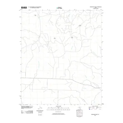 2010 Crawford Slide2010 Print · USGSSterling County ranch lands and canyon country are captured in detail as they appeared in the early 2010s. Researchers can trace the rugged geography of the plateau through landmarks like Crawford Slide, Goat Mountain, and Cosby Spring.
 - 2010 Map of Coon Dive Draw, 2010 Print
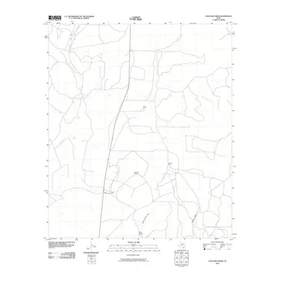 2010 Coon Dive Draw2010 Print · USGSTom Green County ranch lands are documented here in the early twenty-first century, showing a landscape defined by water management and livestock. Researchers can trace rural property developments and essential water sources like Coon Dive Windmill and McGill Ranch.
 - 2010 Map of Coon Dive Draw NW, 2010 Print
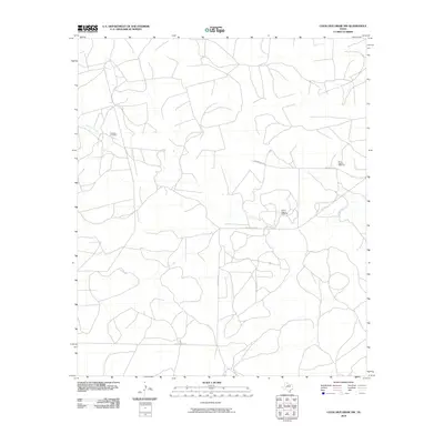 2010 Coon Dive Draw NW2010 Print · USGSSterling County ranch lands are captured here during the first decade of the new millennium, showing a landscape defined by livestock and local travel. Researchers can locate the Edwards Cemetery and trace functional landmarks like the Wilson Pasture Windmill and Brownfield Rd.
 - 2010 Map of Broome, 2010 Print
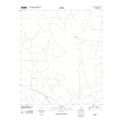 2010 Broome2010 Print · USGSSterling County rangeland comes into focus at the turn of the millennium, centered on the rural crossing at Broome. Researchers can trace old property access along Mendenhall Ln and identify landmarks like Shelving Rock Bluff and China Draw.
 - 2010 Map of Cumbie Draw NE, 2010 Print
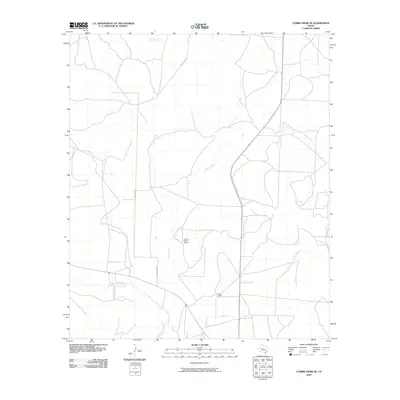 2010 Cumbie Draw NE2010 Print · USGSSterling County's ranching country is documented here at the start of the decade, showing a landscape shaped by water and wire. Researchers can locate family holdings like Reed Ranch and trace the course of the North Concho River and Chalk Creek.
 - 2010 Map of Dog Creek, 2010 Print
 2010 Dog Creek2010 Print · USGSTom Green County is shown here in the early twenty-first century, featuring a landscape shaped by intermittent watercourses and petroleum production. Researchers can trace the drainage patterns of Dog Creek and Dry Rocky Creek or locate the active footprint of the Funk Oil Field.
 - 2010 Map of McWhorter Mountain, 2010 Print
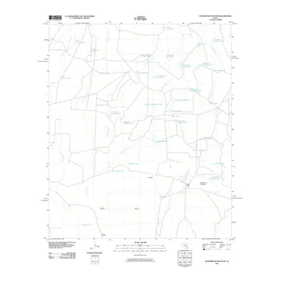 2010 McWhorter Mountain2010 Print · USGSSterling County ranch lands are documented here during the early twenty-first century, showing a high density of specialized livestock infrastructure. Researchers can trace the heritage of local ranching through named sites like Powell Sheep Camp and the Dempster Windmill.
 - 2010 Map of Hayrick Mountain, 2010 Print
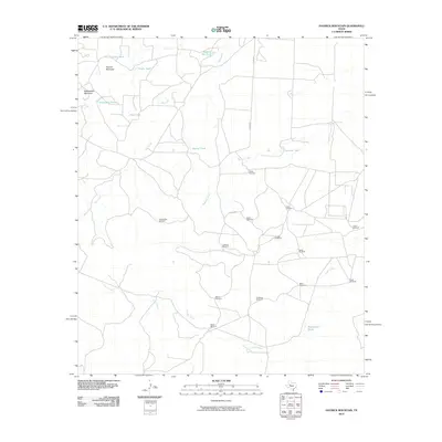 2010 Hayrick Mountain2010 Print · USGSHoward County ranching lands are captured here during the first decade of the millennium, showing a landscape shaped by water and wind. Researchers can trace family-named infrastructure and landmarks like Doodle Bug Windmill, Rockwater Hole, and Hayrick Mountain.
 - 2010 Map of Dripping Springs Draw, 2010 Print
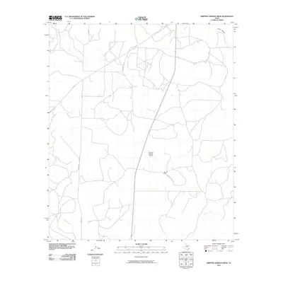 2010 Dripping Springs Draw2010 Print · USGSSterling County at the start of the decade reveals a quiet landscape of West Texas ranching and rugged drainages. Researchers can trace land boundaries near the Santa Fe Ranch and follow the paths of Sterling Creek or Dripping Springs Draw.
 - 2010 Map of Buffalo Draw, 2010 Print
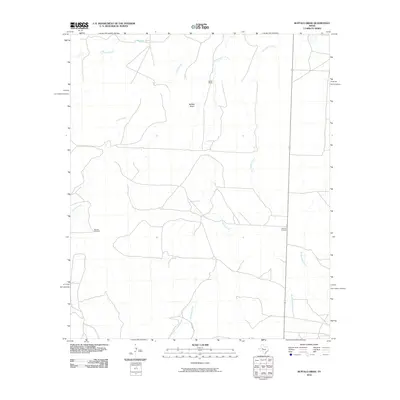 2010 Buffalo Draw2010 Print · USGSSterling County ranchlands are captured here in the early 2000s, showing a landscape defined by cattle operations and intermittent creek beds. Genealogists and local historians can locate the Lolanthe Cemetery and trace the paths of Buffalo Draw and Spade Ranch.
 - 2010 Map of Dog Creek NW, 2010 Print
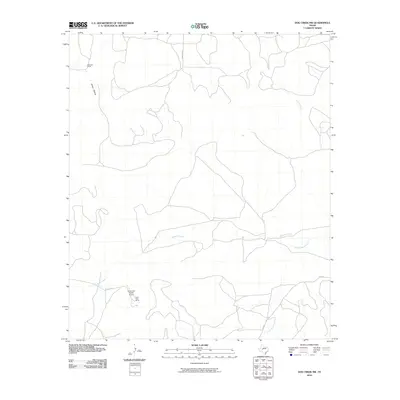 2010 Dog Creek NW2010 Print · USGSSterling County ranchlands are documented here at the turn of the millennium, showing the expansive properties of the Texas Panhandle. Trace local landmarks like the Alvie Cole Ranch and McClure Ranch, or follow the course of Mulberry Creek.
 - 2010 Map of Dog Creek NE, 2010 Print
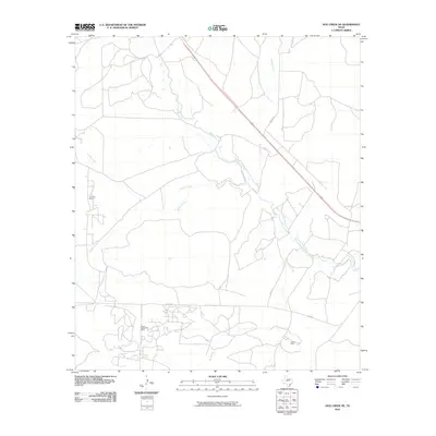 2010 Dog Creek NE2010 Print · USGSTom Green County during the early 2000s shows a landscape of river valleys and active energy production. Researchers can trace the footprints of the Water Valley Oil Field and Clark Oil Field along the North Concho River.
 - 2010 Map of Dog Creek SW, 2010 Print
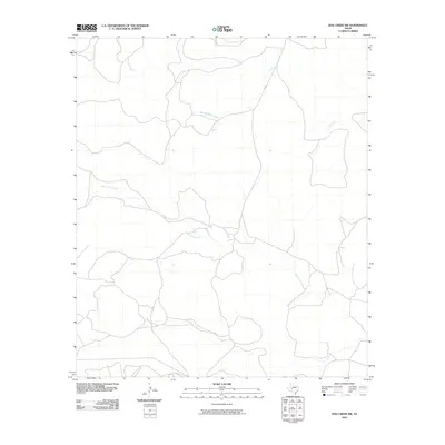 2010 Dog Creek SW2010 Print · USGSTom Green County, Texas, was a region of open ranchland and winding seasonal waterways at the start of the 2010s. Researchers can trace the path of West Rocky Creek and Little Mulberry Creek or follow the route of FM 2034 through this rural landscape.
 - 2010 Map of Hay Hollow, 2010 Print
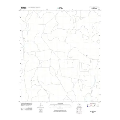 2010 Hay Hollow2010 Print · USGSTom Green County ranch land is captured here during the early twenty-first century, showing the enduring importance of river basins and creek draws. Researchers can locate specific ranching landmarks like the Model A Windmill and Scallop Tank Windmill along the Middle Concho River.
 - 2010 Map of Sand Bluff Draw, 2010 Print
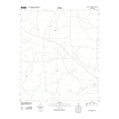 2010 Sand Bluff Draw2010 Print · USGSSterling County ranching country at the start of the decade is defined here by the winding North Concho River. Researchers can trace the boundaries of legacy properties such as Cole Ranch, Reed Ranch, and McEntire Ranch across this expansive landscape.
 - 2010 Map of Dead Indian Mountain, 2010 Print
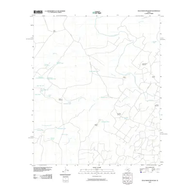 2010 Dead Indian Mountain2010 Print · USGSSterling and Mitchell Counties are mapped here in the early twenty-first century, showing a remote landscape of high mesas and cattle ranching. Researchers can trace land use through named features like Jameson Oil Field, Dead Indian Mountain, and the Lucky Strike Windmill.
 - 2010 Map of Garden City NE, 2010 Print
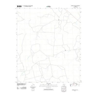 2010 Garden City NE2010 Print · USGSGlasscock County ranching country is mapped here in 2010 during a period of modern agricultural continuity. Researchers can locate family-held land at Foster Ranch or trace the seasonal paths of the North Concho River and Dobson Creek.
 - 2010 Map of Currie Reservoir, 2010 Print
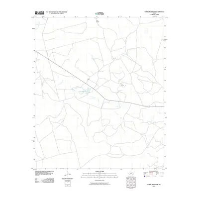 2010 Currie Reservoir2010 Print · USGSGlasscock County in 2010 was a landscape of West Texas ranching and petroleum production. Researchers can trace land use and water resources through family landmarks like Currie Ranch and water bodies including Currie Reservoir and Lacy Creek.
 - 2010 Map of Forsan, 2010 Print
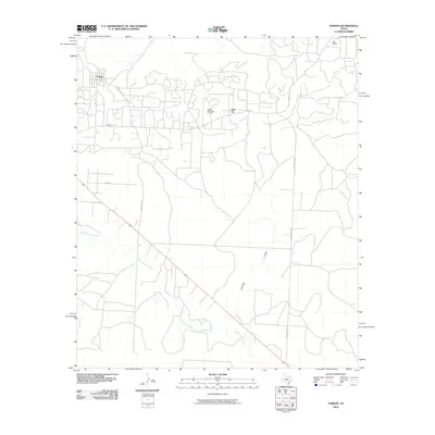 2010 Forsan2010 Print · USGSThis Howard County landscape in the early 2000s reflects the deep integration of oil production and rural Texas life. Researchers can trace the layout of Forsan and Ross City or locate family lands near the Howard Glasscock Oil Field and the North Concho River.
 - 2010 Map of Three Bluff Draw NE, 2010 Print
 2010 Three Bluff Draw NE2010 Print · USGSGlasscock County at the start of the 2010s shows a landscape shaped by intermittent watercourses and rural thoroughfares. Researchers can trace the path of Sterling Creek or locate the junctions along Radio Tower Rd and Old Big Lake Rd.
 - 2010 Map of Three Bluff Draw, 2010 Print
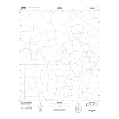 2010 Three Bluff Draw2010 Print · USGSTom Green County ranch land and petroleum fields are captured here during the early twenty-first century. Researchers can trace the intersection of ranching life and industry through labels like Lone Joe Ranch, the Cope Oil Field, and the seasonal Middle Concho River.
 - 2010 Map of Cumbie Draw, 2010 Print
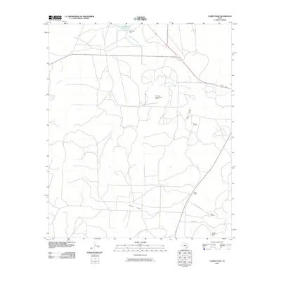 2010 Cumbie Draw2010 Print · USGSSterling County ranching and energy production are at the forefront of this 2010 study of the West Texas plains. Researchers can locate the Foster Cemetery and Foster Ranch, or trace the industrial footprint of the Durham Oil Field.
Showing maps 1-25 of 125
Top cities of Sterling County
Frequently asked questions
- What are the different types of historical maps available for Sterling County?
- What is the oldest map of Sterling County?
- Where can I purchase historical maps of Sterling County for my home or office?
- Where can I download high-res historical maps of Sterling County?
- Are there historical topographic maps available for Sterling County?
- Is there historical aerial imagery available for Sterling County?
- Where are historical maps of Sterling County sourced from?