2000s (21st Century) Maps of Taylor County, Texas
Explore 125 historic maps of Taylor County from the 2000s (21st Century). These maps offer a rare glimpse into what life looked like during the 2000s — showing old roads, neighborhoods, homes, and landmarks that have changed or disappeared over time.
Whether you're researching your family's past, planning a metal detecting trip, or studying how Taylor County's landscape evolved across the 2000s, these high-resolution maps are a powerful tool for exploring the history of this region.
- Focus on a specific era: All maps on this page are from the 2000s, giving you a focused view of this time period.
- See what’s changed: Compare century-old streets, trails, and buildings to today's modern landscape using overlays and satellite layers.
- Research with precision: Use these maps for genealogy, historical research, land use analysis, or educational projects.
- View, download, or print: Maps are fully viewable online in high resolution, and can be downloaded or printed for your own records.
Start exploring Taylor County's history through authentic maps from the 2000s. This is your window into the past.
Taylor County, TX maps
(125)- 2010 Map of Nolan, 2010 Print
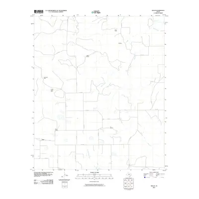 2010 Nolan2010 Print · USGSNolan County at the start of the 2010s reveals a ranching landscape defined by high bluffs and winding creek beds. Researchers can locate family burial sites at Slater Chapel Cemetery and Dora Cemetery or trace landmarks like Birdsnest Bluff and Ringtop.
 - 2010 Map of Chalk Peak, 2010 Print
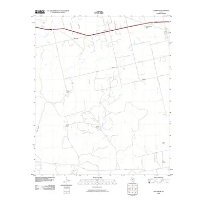 2010 Chalk Peak2010 Print · USGSTaylor County ranching and oil production are documented here during the early twenty-first century. Genealogists and historians can trace the Bankhead Highway Historic District and locate sites like White Church Cemetery and the Grimes Gasoline Plant.
 - 2010 Map of Hylton, 2010 Print
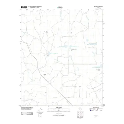 2010 Hylton2010 Print · USGSHylton and its surrounding ranchlands are documented here during a period of modern water conservation and rural expansion. Genealogists and local historians can trace family locations near Hylton Cemetery, Campbell Cemetery, and landmarks like High Lonesome Windmill.
 - 2010 Map of Mountain Pass, 2010 Print
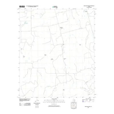 2010 Mountain Pass2010 Print · USGSTaylor County ranch lands and canyons are documented here in the early 2000s as modern roads began to further reach into the hills. Genealogists and locals can trace family-named landmarks like Rhodes Ranch, Billy Doan Reservoir, and Butman Falls.
 - 2010 Map of Merkel West, 2010 Print
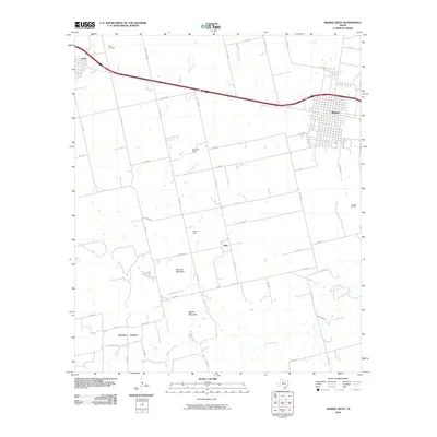 2010 Merkel West2010 Print · USGSSettlement and energy production define this West Texas landscape during the early 21st century. Genealogists and historians can trace local landmarks like White Church, Trent Cemetery, and the distinct topography of Mulberry Canyon.
 - 2010 Map of Noodle, 2010 Print
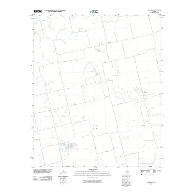 2010 Noodle2010 Print · USGSNoodle and the surrounding Jones County plains are captured here in the early twenty-first century as a landscape of ranching and oil extraction. Genealogists and historians can trace local landmarks like the Noodle Oil Field, Sweetwater Creek, and the Ball Kuehn Oil Field.
 - 2010 Map of Raven Creek South, 2010 Print
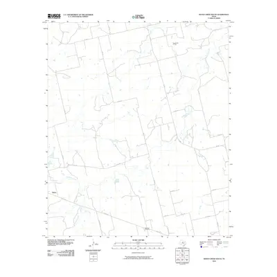 2010 Raven Creek South2010 Print · USGSFisher County ranching and energy production are in focus during the early 2000s in this West Texas survey. Local researchers can trace the roads around Eskota or locate industrial landmarks like the Raven Creek Oil Field and the White Flat Gas Plant.
 - 2010 Map of Church Peak, 2010 Print
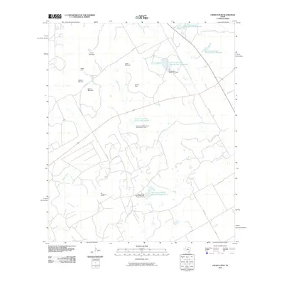 2010 Church Peak2010 Print · USGSTexas ranching and oil country come into focus during this 2010 survey of Taylor County. Researchers can trace the legacy of the Fort Chadbourne Oil Field and the complex water systems at Odom Currie Wylie Estate Lake Number 1.
 - 2010 Map of Wingate, 2010 Print
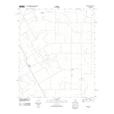 2010 Wingate2010 Print · USGSWingate and the surrounding Runnels County countryside are captured here in the early twenty-first century, showcasing a landscape of cattle guards and creek crossings. Genealogists and local historians can trace family locations near Pumphrey, Mitchell Lake, and the Pumphrey Cemetery.
 - 2010 Map of Shep, 2010 Print
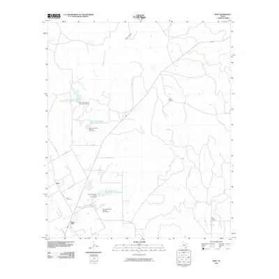 2010 Shep2010 Print · USGSThe rural Texas settlements of Shep and Happy Valley are shown during a period of modern water management in Taylor County. Genealogists and historians can trace family locations through Shep Cemetery and Bluff Creek Cemetery or locate the local Sears Airport.
 - 2010 Map of Bradshaw, 2010 Print
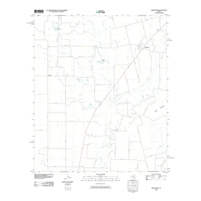 2010 Bradshaw2010 Print · USGSTaylor County ranching country and the small settlements of Bradshaw and Drasco are captured here in the early 2000s. Researchers can trace local water features and landmarks like Downing Lake, Moro Mountain, and the course of Bluff Creek.
 - 2010 Map of Goldsboro, 2010 Print
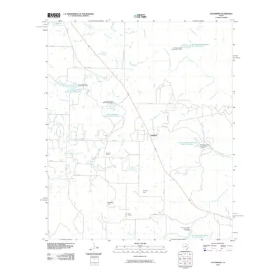 2010 Goldsboro2010 Print · USGSGoldsboro and the surrounding Coleman County ranch lands are documented here during the early twenty-first century. Genealogists and local historians can locate the Midway Cemetery and trace the drainage of Jim Ned Creek past landmarks like Jim Ned Peak.
 - 2010 Map of View, 2010 Print
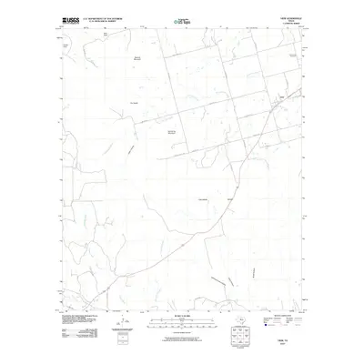 2010 View2010 Print · USGSThis Central Texas landscape at the start of the decade is defined by the high ridges of the Callahan Divide. Genealogists and local historians can locate the Drummond Cemetery or trace the rugged geography of Castle Peak and Lewis Canyon.
 - 2010 Map of Abilene West, 2010 Print
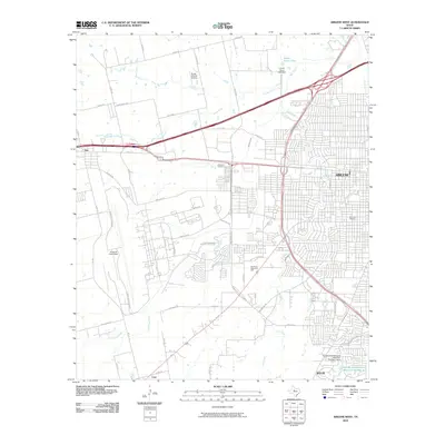 2010 Abilene West2010 Print · USGSWestern Abilene and the surrounding Taylor County landscape are shown here as the city expanded southward in the early 2000s. Researchers can trace the layout of Dyess Air Force Base, locate the Little Elm Cemetery, and see the early development of Wylie.
 - 2010 Map of Abilene East, 2010 Print
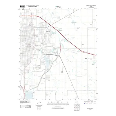 2010 Abilene East2010 Print · USGSAbilene's eastern districts are shown here at a moment of modern expansion and deep historical preservation. Researchers can trace family sites at the Old Colony Cemetery or explore the bounds of the Parramore Historic District and the State Epileptic Colony Historic District.
 - 2010 Map of Tuscola, 2010 Print
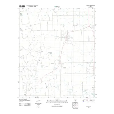 2010 Tuscola2010 Print · USGSThe Taylor County countryside comes into focus at the start of the decade, showing the ranching communities between the Jim Ned Valley ridges. Genealogists can trace family connections at Lemons Gap Cemetery and McBee Cemetery or locate the site of Camp Tonkawa.
 - 2010 Map of Merkel East, 2010 Print
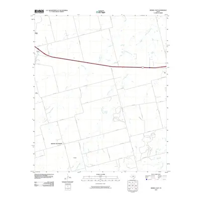 2010 Merkel East2010 Print · USGSTaylor County at the start of the decade shows a landscape of cattle ranching and energy production. Genealogists and local researchers can trace family landmarks like Rose Hill Cemetery or the rural settlements of Mount Pleasant and Cozart.
 - 2010 Map of Stith, 2010 Print
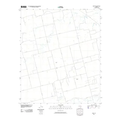 2010 Stith2010 Print · USGSJones County during the first decade of the new millennium is defined by its petroleum history and sparse rural settlement. Researchers can trace the layout of the Stith Oil Field and Wimberly Oil Field or locate properties near Bitter Creek and Stith.
 - 2010 Map of Buffalo Gap, 2010 Print
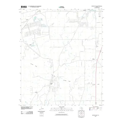 2010 Buffalo Gap2010 Print · USGSTaylor County south of Abilene shows a landscape defined by the Callahan Divide during this era of suburban growth and ranching. Genealogists and local historians can trace the foundations of Buffalo Gap, locate the Buffalo Gap Cemetery, and find the Abilene Speedway near Cedar Gap.
 - 2010 Map of Bald Knob, 2010 Print
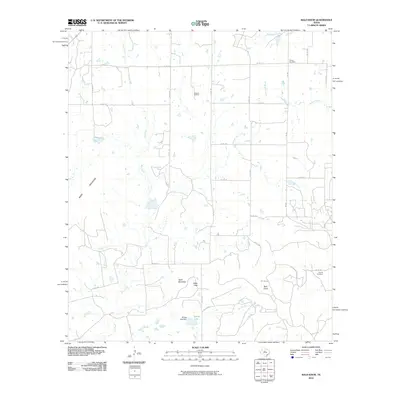 2010 Bald Knob2010 Print · USGSTaylor County ranchland and oil fields are captured here in the early twenty-first century, showing a landscape of mesas and creek beds. Genealogists and researchers can locate Dewey Cemetery, the Atwood Oil Field, and landmarks like Table Mountain.
 - 2010 Map of Lawn, 2010 Print
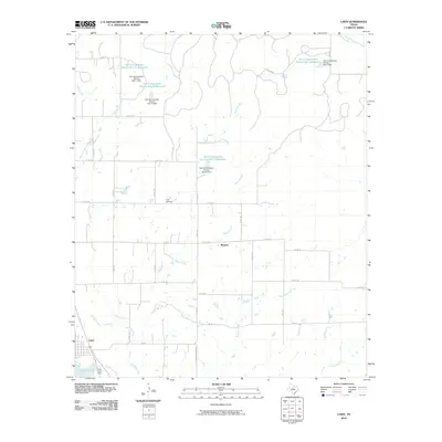 2010 Lawn2010 Print · USGSThe community of Lawn and the nearby settlement of Rogers appear here in the early twenty-first century, surrounded by a landscape shaped by water conservation. Researchers can trace local lineage at Cope Cemetery or study the hydrology of Jim Ned Creek and Santa Fe Lake.
 - 2010 Map of Hawley, 2010 Print
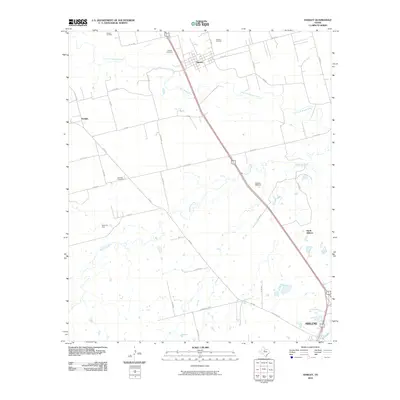 2010 Hawley2010 Print · USGSTaylor County at the start of the decade shows a landscape where industrial energy production meets rural ranching north of the city. Genealogists and historians can locate family landmarks such as Hawley Cemetery, Mid Way Cemetery, and the Cosden Refinery.
 - 2010 Map of Potosi, 2010 Print
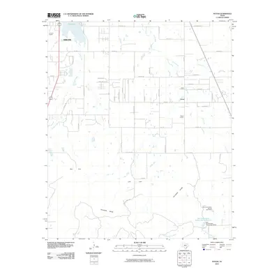 2010 Potosi2010 Print · USGSThe Abilene outskirts and the community of Potosi are captured here during a period of modern growth against the backdrop of the Callahan Divide. Researchers can trace local lineage at the Potosi Cemetery or locate landmarks like the Flying W Airport and Kirby Lake.
 - 2010 Map of Lake Abilene, 2010 Print
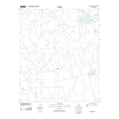 2010 Lake Abilene2010 Print · USGSTaylor County ranch lands and reservoirs are shown here in the early twenty-first century, just as the landscape was mapped for modern elevation data. You can trace the rugged topography of Steamboat Mountain or locate local landmarks like Camp Tonkawa and Puckett Springs.
 - 2010 Map of Hamby, 2010 Print
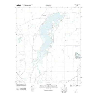 2010 Hamby2010 Print · USGSTaylor County settlement at the turn of the decade centers on the expansive waters of Lake Fort Phantom Hill and the surrounding prairie communities. Genealogists and local historians can trace family locations near the Round Mound Cemetery or explore the small hubs of Hamby and Impact.
Showing maps 1-25 of 125
Top cities of Taylor County
- Abilene historical maps
- Merkel historical maps
- Tye historical maps
- Tuscola historical maps
- Buffalo Gap historical maps
- Lawn historical maps
See more
Frequently asked questions
- What are the different types of historical maps available for Taylor County?
- What is the oldest map of Taylor County?
- Where can I purchase historical maps of Taylor County for my home or office?
- Where can I download high-res historical maps of Taylor County?
- Are there historical topographic maps available for Taylor County?
- Is there historical aerial imagery available for Taylor County?
- Where are historical maps of Taylor County sourced from?