2010s Maps of Emery County, Utah
Explore 309 historic maps of Emery County from the 2010s. These maps offer a rare glimpse into what life looked like during the 2010s — showing old roads, neighborhoods, homes, and landmarks that have changed or disappeared over time.
Whether you're researching your family's past, planning a metal detecting trip, or studying how Emery County's landscape evolved across the 2010s, these high-resolution maps are a powerful tool for exploring the history of this region.
- Focus on a specific era: All maps on this page are from the 2010s, giving you a focused view of this time period.
- See what’s changed: Compare century-old streets, trails, and buildings to today's modern landscape using overlays and satellite layers.
- Research with precision: Use these maps for genealogy, historical research, land use analysis, or educational projects.
- View, download, or print: Maps are fully viewable online in high resolution, and can be downloaded or printed for your own records.
Start exploring Emery County's history through authentic maps from the 2010s. This is your window into the past.
Emery County, UT maps
(309)- 2010 Map of Hunt Draw, 2010 Print
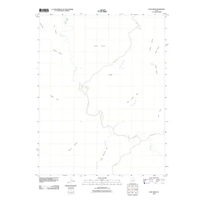 2010 Hunt Draw2010 Print · USGSEmery County's high-desert canyons and reefs are captured here in the early twenty-first century as they appeared before modern development. Geologists and local explorers can trace the serpentine Muddy Creek through The Chute or locate landmarks like Sy Butte and Bullberry Spring.
 - 2010 Map of Green River, 2010 Print
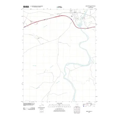 2010 Green River2010 Print · USGSGreen River and the settlement of Elgin are captured at the river's edge in 2010. Genealogists and local historians can trace landmarks like the Green River Cemetery, the Green River Post Office, and several desert routes including the Flint Trl.
 - 2010 Map of Temple Mountain, 2010 Print
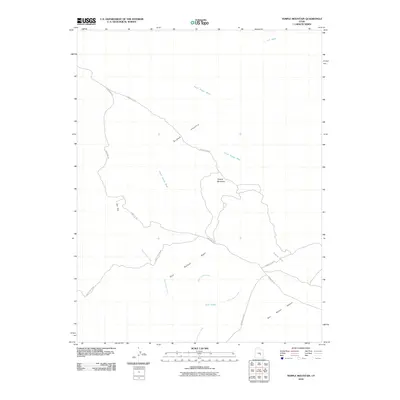 2010 Temple Mountain2010 Print · USGSThe high desert of Emery County is captured here in the early twenty-first century, showing the intersection of the San Rafael Reef and the San Rafael Desert. Researchers can trace the winding paths of North Temple Wash and find remote landmarks like Temple Mountain and the Cow Tanks.
 - 2010 Map of Drowned Hole Draw, 2010 Print
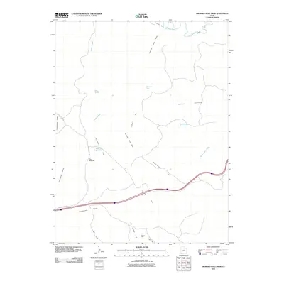 2010 Drowned Hole Draw2010 Print · USGSEmery County's high-desert terrain is captured here in the early twenty-first century, showing a landscape shaped by deep washes and isolated water sources. Researchers can locate the Brillian Mine and trace seasonal drainage patterns through Drowned Hole Draw and the San Rafael River.
 - 2010 Map of Green River NE, 2010 Print
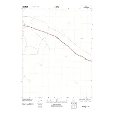 2010 Green River NE2010 Print · USGSThe Gunnison Valley in the early twenty-first century remains a stark landscape defined by the historic railroad corridor and old thoroughfares. Researchers can trace the path of Old Hwy Elgin past the settlement of Solitude and across the desert drainages of Little Grand Wash.
 - 2010 Map of Green River SE, 2010 Print
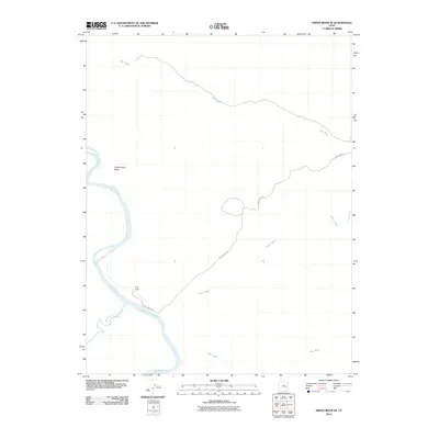 2010 Green River SE2010 Print · USGSGrand County ranching and river geography are captured here in the early twenty-first century. You can trace the confluence of the Green River and San Rafael River or locate remote landmarks like Ruby Ranch and the distinctive Dellenbaugh Butte.
 - 2010 Map of Arsons Garden, 2010 Print
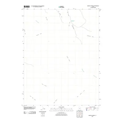 2010 Arsons Garden2010 Print · USGSEmery County's high desert landscape is recorded here in the early twenty-first century, showing the intricate drainage of the San Rafael Swell. Researchers can trace remote geographic landmarks such as Arsons Garden, Lone Man Draw, and the Hyde Draw Reservoir.
 - 2010 Map of Little Wild Horse Mesa, 2010 Print
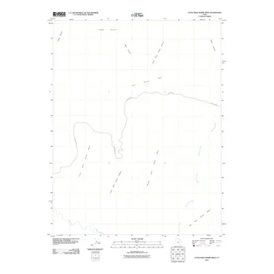 2010 Little Wild Horse Mesa2010 Print · USGSEmery County’s San Rafael Reef is seen here in the early twenty-first century as a land of dramatic mesas and deep desert drainages. Researchers can trace the rugged corridors of Little Wild Horse Canyon and Chute Canyon or locate the remote path of Wild Horse Rd.
 - 2010 Map of Horse Valley, 2010 Print
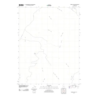 2010 Horse Valley2010 Print · USGSEmery County’s high desert landscape is shown here during the early twenty-first century, centered on the broad expanses of Horse Valley. Trace the winding paths of Chute Canyon and Little Wild Horse Canyon or locate the rural tracks of Temple Mt Rd.
 - 2010 Map of The Flat Tops, 2010 Print
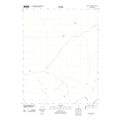 2010 The Flat Tops2010 Print · USGSEmery County's high desert landscape is shown here in the early twenty-first century, highlighting its isolated buttes and historic tracks. Modern adventurers and geographers can trace the winding Flint Trl as it passes Little Flat Top and the essential Sweetwater Spring.
 - 2010 Map of Greasewood Draw, 2010 Print
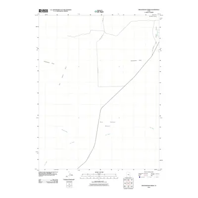 2010 Greasewood Draw2010 Print · USGSEmery County's high-desert landscape is captured in the early twenty-first century as the San Rafael River flows past the reef. Researchers can trace remote ranching routes and watercourses like Hatts Ranch Rd, Iron Wash, and the prominent Shadscale Mesa.
 - 2010 Map of Gilson Butte, 2010 Print
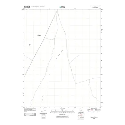 2010 Gilson Butte2010 Print · USGSThe San Rafael Desert in 2010 remains a landscape defined by isolation and natural landmarks. Modern explorers and researchers can trace the winding Flint Trl as it passes between the distinct summits of Gilson Butte and Little Gilson Butte.
 - 2010 Map of Horse Bench East, 2010 Print
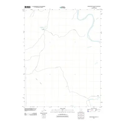 2010 Horse Bench East2010 Print · USGSGrand County ranching and river geography are documented here just after the turn of the millennium. Researchers can trace historic desert routes like Flint Trl and find the site of the Chaffin Ranch near the San Rafael River.
 - 2010 Map of Old Woman Wash, 2010 Print
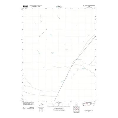 2010 Old Woman Wash2010 Print · USGSThe Emery County backcountry in the early twenty-first century remains a landscape of geological barriers and essential water sources. Trace the rugged transition from the San Rafael Reef to the San Rafael Desert via Mormon Tanks and the Temple Mt Rd.
 - 2010 Map of Horse Bench West, 2010 Print
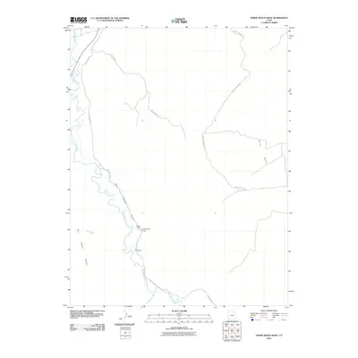 2010 Horse Bench West2010 Print · USGSEmery County ranching and river geography are documented here during the first decade of the millennium. Researchers can trace the path of the San Rafael River past Gillies Ranch, the Oman Ranch Airport, and The Frenchmans.
 - 2010 Map of Moonshine Wash, 2010 Print
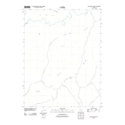 2010 Moonshine Wash2010 Print · USGSEmery County's high desert plateaus and river corridors are documented here in the early twenty-first century. Researchers and outdoorsmen can trace essential desert water sources like Moonshine Spring and historic river crossings at Spring Canyon Ford.
 - 2010 Map of Spotted Wolf Canyon, 2010 Print
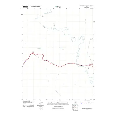 2010 Spotted Wolf Canyon2010 Print · USGSEmery County's desert canyons and geologic barriers are documented here in the early twenty-first century. Researchers can trace the path of the river through the Lower Black Box or locate local landmarks like Swazys Leap and the 4 Corners Mine Rd.
 - 2010 Map of Tomsich Butte, 2010 Print
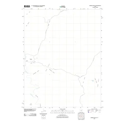 2010 Tomsich Butte2010 Print · USGSEmery County's desert ranching and mining history is preserved in this early twenty-first-century survey of the San Rafael Swell. Researchers can trace remote routes like the Red Canyon Loop to find Cowboy Camp and the waters of Secret Springs.
 - 2010 Map of Jacks Knob, 2010 Print
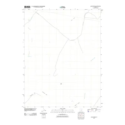 2010 Jacks Knob2010 Print · USGSEmery County's high desert plateau is captured here in the early twenty-first century, showing a landscape shaped by isolated springs and reef formations. Researchers can trace remote routes like Saucer Basin Rd to natural landmarks such as Jacks Knob and Red Reef.
 - 2010 Map of Sid And Charley, 2010 Print
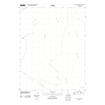 2010 Sid And Charley2010 Print · USGSEmery County, Utah, is shown in this contemporary topographical record of its high-desert canyon systems. Researchers can trace the drainage of Coal Wash and locate landforms such as Sid and Charley and the steep elevation of Secret Mesa.
 - 2010 Map of Goblin Valley, 2010 Print
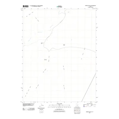 2010 Goblin Valley2010 Print · USGSEmery County's high-desert landscape is captured in the early twenty-first century, centered on its iconic sandstone formations and deep canyons. Geologists and researchers can trace the drainages of Wild Horse Creek or locate landmarks like Wild Horse Butte and Mollys Castle.
 - 2010 Map of The Blocks, 2010 Print
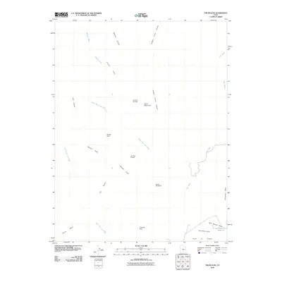 2010 The Blocks2010 Print · USGSEmery County, Utah, is shown in this detailed 2010 survey of the desert landscape during the modern era of federal land management. Researchers can locate remote landmarks such as Joe and His Dog, Devils Racetrack, and the Reid Neilson Reservoir.
 - 2010 Map of Ireland Mesa, 2010 Print
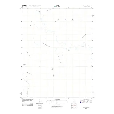 2010 Ireland Mesa2010 Print · USGSEmery County, Utah, is shown here as a landscape of deep canyons and high plateaus in the early twenty-first century. Genealogists and desert explorers can trace the terrain around Pitchforth Spring, the Lone Tree Wedge, and the uniquely named The Merry-Go-Round.
 - 2010 Map of Big Bend Draw, 2010 Print
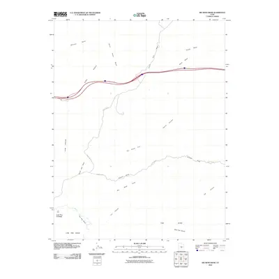 2010 Big Bend Draw2010 Print · USGSEmery County's high desert terrain is mapped here during the early twenty-first century, showcasing the intersection of historic transit routes and geological landmarks. Researchers can trace the path of Muddy Creek through The Big Bend and locate remote features like Lone Tree Crossing and The Dike.
 - 2010 Map of Salvation Creek, 2010 Print
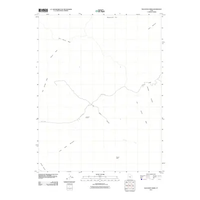 2010 Salvation Creek2010 Print · USGSEmery County's high desert landscape is shown here during a period of modern energy exploration. Researchers can trace industrial access via County Rd-920 and locate specific sites like the Last Chance Gas Field or the striking landform of Factory Butte.
Showing maps 1-25 of 309
Top cities of Emery County
- Huntington historical maps
- Castle Dale historical maps
- Ferron historical maps
- Orangeville historical maps
- Green River historical maps
- Cleveland historical maps
See more
Frequently asked questions
- What are the different types of historical maps available for Emery County?
- What is the oldest map of Emery County?
- Where can I purchase historical maps of Emery County for my home or office?
- Where can I download high-res historical maps of Emery County?
- Are there historical topographic maps available for Emery County?
- Is there historical aerial imagery available for Emery County?
- Where are historical maps of Emery County sourced from?