2020s Maps of Emery County, Utah
Explore 206 historic maps of Emery County from the 2020s. These maps offer a rare glimpse into what life looked like during the 2020s — showing old roads, neighborhoods, homes, and landmarks that have changed or disappeared over time.
Whether you're researching your family's past, planning a metal detecting trip, or studying how Emery County's landscape evolved across the 2020s, these high-resolution maps are a powerful tool for exploring the history of this region.
- Focus on a specific era: All maps on this page are from the 2020s, giving you a focused view of this time period.
- See what’s changed: Compare century-old streets, trails, and buildings to today's modern landscape using overlays and satellite layers.
- Research with precision: Use these maps for genealogy, historical research, land use analysis, or educational projects.
- View, download, or print: Maps are fully viewable online in high resolution, and can be downloaded or printed for your own records.
Start exploring Emery County's history through authentic maps from the 2020s. This is your window into the past.
Emery County, UT maps
(206)- 2020 Map of Olsen Reservoir, 2020 Print
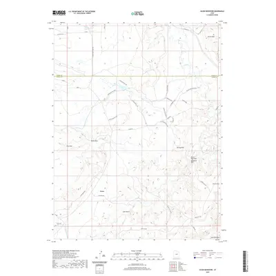 2020 Olsen Reservoir2020 Print · USGSThe high desert of Emery County is captured here in the modern era, revealing the remote settlement patterns and vital water networks of the region. Genealogists and local historians can locate the Victor Cem and trace livestock history at the Marsing/Hansen Ranch or Olsen Reservoir.
 - 2020 Map of Cleveland, 2020 Print
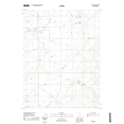 2020 Cleveland2020 Print · USGSEmery County ranching and irrigation systems are shown in great detail in the year 2020. Local historians can trace the town of Cleveland's layout alongside landmarks like the Cleveland Cem, Hadden Reservoir, and the Dinosaur Quarry Rd.
 - 2020 Map of Huntington, 2020 Print
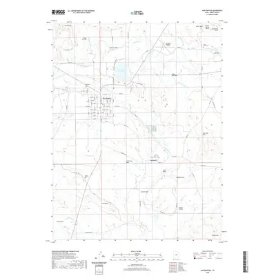 2020 Huntington2020 Print · USGSEmery County's agricultural and desert landscape comes into focus during the early twenty-first century. Genealogists and local historians can trace family plots at the Huntington City Cem or follow the irrigation routes of the Cleveland Canal and Mammoth Canal.
 - 2020 Map of Chandler Falls, 2020 Print
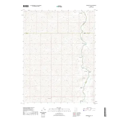 2020 Chandler Falls2020 Print · USGSThe Green River corridor in eastern Utah is shown here at the meeting of four counties during the late twenty-teens. Researchers and river runners can trace named whitewater landmarks such as Chandler Rapids and Joe Hatch Canyon Rapids through Desolation Canyon.
 - 2020 Map of Blue Castle Butte, 2020 Print
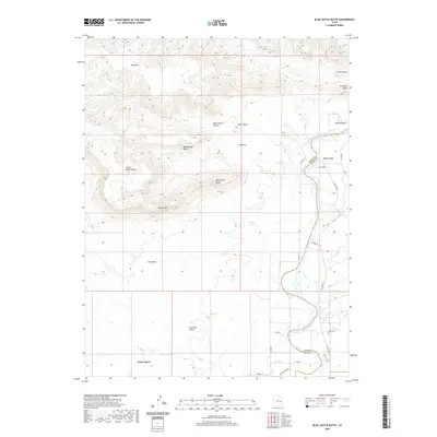 2020 Blue Castle Butte2020 Print · USGSThe high desert terrain and river life of the Emery-Grand county line are documented in this recent survey. Local historians and genealogists can trace the roads around Green River or locate Elgin Cem near landmarks like Gunnison Butte.
 - 2020 Map of Elmo, 2020 Print
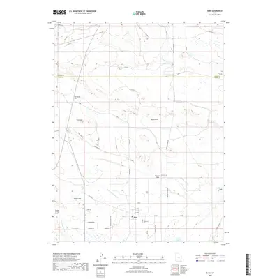 2020 Elmo2020 Print · USGSThe rural landscape of Emery County is defined here by the small community of Elmo and its network of vital irrigation canals. Researchers can trace family history through the Elmo Cem and follow the seasonal water paths of Wildcat Draw and Desert Lake.
 - 2020 Map of Tusher Canyon, 2020 Print
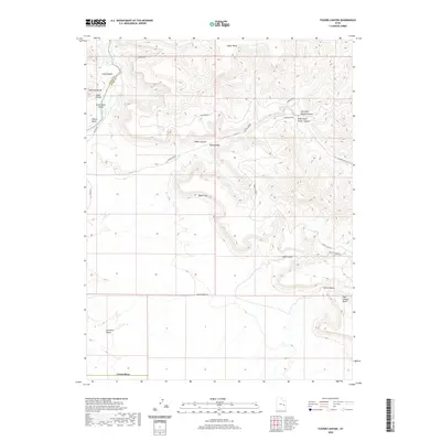 2020 Tusher Canyon2020 Print · USGSThe Green River backcountry of Emery and Grand Counties is charted here in the modern era as it cuts through the massive Book Cliffs. Outdoorsmen and geologists can trace the deep windings of Gray Canyon, the steep ascent of Gunnison Butte, and the remote drainages of Tusher Canyon.
 - 2020 Map of Cliff, 2020 Print
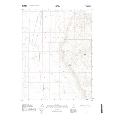 2020 Cliff2020 Print · USGSEmery County's dramatic topography is on display in this contemporary survey of the high desert and plateau country. Trace the winding course of the Price River or locate landmarks like Mt Elliott and the expansive Beckwith Plateau as they rise above the canyon floor.
 - 2020 Map of Devils Hole, 2020 Print
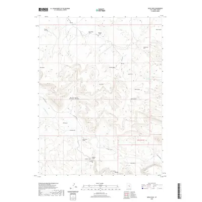 2020 Devils Hole2020 Print · USGSThe high plateaus and deep canyons of Emery County are revealed here in the modern era. Researchers can trace the rugged cattle-country history through landmarks like Horse Heaven, the narrow passage of Black Box, and the remote Moonshine Waterhole.
 - 2020 Map of Bottleneck Peak, 2020 Print
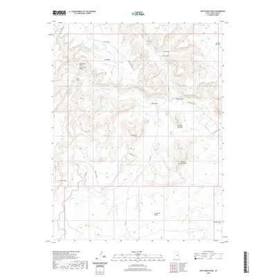 2020 Bottleneck Peak2020 Print · USGSEmery County's high desert landscape comes into focus during this 2020 survey of the San Rafael Swell. Geologists and local historians can trace the steep geography of the Little Grand Canyon and locate landmarks like Bottleneck Peak and Window Blind Peak.
 - 2020 Map of Mexican Mountain, 2020 Print
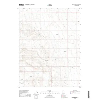 2020 Mexican Mountain2020 Print · USGSEmery County's high desert plateaus and river bends are captured here in the early twenty-first century. Researchers can trace the winding San Rafael River past the Black Box and through the distinctive gap in the San Rafael Reef.
 - 2020 Map of Sids Mountain, 2020 Print
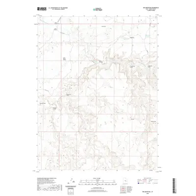 2020 Sids Mountain2020 Print · USGSEmery County's high desert is defined here by the dramatic incision of the San Rafael River into the Little Wedge Plateau. Researchers can trace old stock routes and water sources near Fuller Bottom and the deep reaches of Virgin Spring Canyon.
 - 2020 Map of Turtle Canyon, 2020 Print
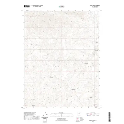 2020 Turtle Canyon2020 Print · USGSIn the remote high country of Emery County, this recent topographic survey captures the winding course of Range Cr. Genealogists and researchers can trace the natural hydrological patterns of this high-elevation landscape through the detailed drainage of Range Cr.
 - 2020 Map of Three Fords Canyon, 2020 Print
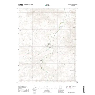 2020 Three Fords Canyon2020 Print · USGSThe Green River serpentine through this desert corridor at the Emery and Grand County border during the early twenty-first century. Boaters and historians can trace the sequence of white-water challenges from Three Fords Rapids to Saleratus Rapids and identify landmarks like Three Golden Stairs.
 - 2020 Map of Horn Silver Gulch, 2020 Print
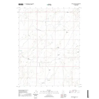 2020 Horn Silver Gulch2020 Print · USGSEmery County's arid high-country terrain is captured in this recent survey, showcasing a landscape shaped by intermittent washes and essential water reservoirs. Researchers can trace the geography of the Sand Bench region and locate water sources like Oscars Pond and Hendrick Spring.
 - 2020 Map of Chimney Rock, 2020 Print
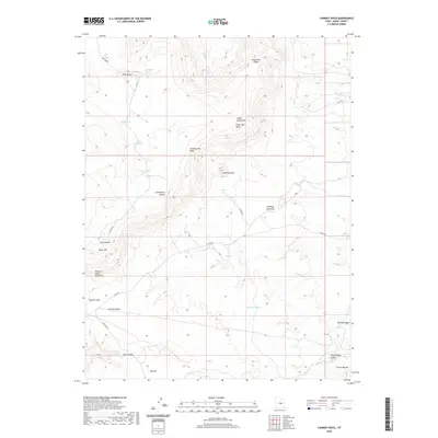 2020 Chimney Rock2020 Print · USGSEmery County's high plateaus and desert washes are captured here in the contemporary era. Researchers can trace remote routes and livestock landmarks through Chimney Rock, the isolated Horse Heaven, and springs like Wiregrass Spring.
 - 2020 Map of Poison Spring Bench, 2020 Print
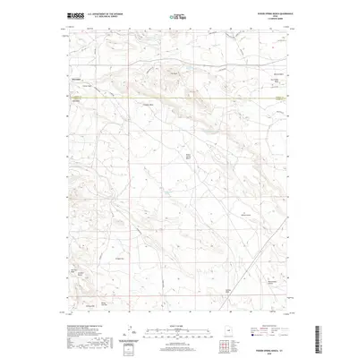 2020 Poison Spring Bench2020 Print · USGSThe high plateaus and desert washes on the Carbon and Emery county line are captured here in the early twenty-first century. Genealogists and historians can trace routes like Watts Hwy to find localized landmarks such as Hiawatha, Millerton Reservoir, and Oil Well Bench.
 - 2020 Map of Cedar, 2020 Print
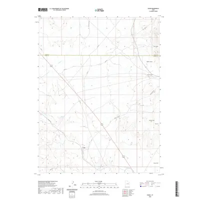 2020 Cedar2020 Print · USGSThe High Desert borderlands between Carbon and Emery counties are captured here in the late twenty-teens. Genealogists and local historians can trace the roads around Cedar and locate reliable water sources like Good Water Spring and Coon Spring.
 - 2020 Map of Flattop Mountain, 2020 Print
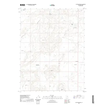 2020 Flattop Mountain2020 Print · USGSEmery County is captured in this modern survey, showing a landscape shaped by the Price River and high plateaus. Researchers can trace the rugged layout of family-named landmarks and water sources like Huff Bench, Lucky Flats Spring, and the Dinosaur Quarry & Flat Top.
 - 2020 Map of Jenny Canyon, 2020 Print
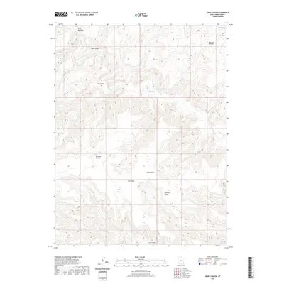 2020 Jenny Canyon2020 Print · USGSEmery County's high desert landscape is documented here in the early twenty-first century as it remains defined by the Price River. Trace the dramatic rise of the Beckwith Plateau and follow the deep cuts of Jenny Canyon and Sand Knolls Canyon.
 - 2020 Map of Cow Flats, 2020 Print
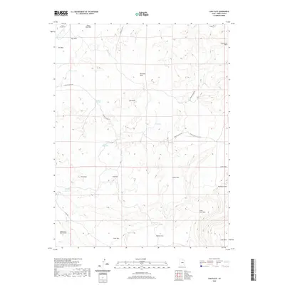 2020 Cow Flats2020 Print · USGSEmery County is captured here in the modern era, revealing a landscape of high desert flats and critical water reservoirs. Local historians and researchers can locate Desert Lake Cem or trace the winding paths of Dinosaur Quarry Rd and Sand Wash.
 - 2020 Map of Lila Point, 2020 Print
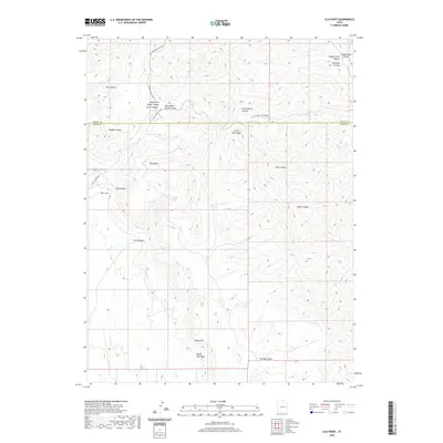 2020 Lila Point2020 Print · USGSThis high-plateau region of Emery and Carbon Counties is mapped in modern detail as it appeared in the late 2010s. Researchers can trace the rugged drainage patterns of the Book Cliffs and locate specific features like Lila Point and The Cove.
 - 2020 Map of Mounds, 2020 Print
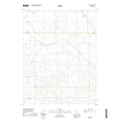 2020 Mounds2020 Print · USGSCarbon and Emery counties are shown in detail during the early twenty-first century, centered on the desert crossroads at Mounds. Local historians can trace the water systems and landmarks of the area, including Spider Reservoir, Balanced Rock, and Mounds Reef.
 - 2020 Map of Butler Canyon, 2020 Print
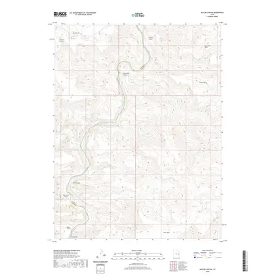 2020 Butler Canyon2020 Print · USGSThe confluence of the Green River and Price River defines this part of the Utah desert as it appeared in the early twenty-first century. Researchers can trace the rugged topography of Butler Canyon and Gray Canyon along the winding Emery and Grand County border.
 - 2020 Map of Dry Mesa, 2020 Print
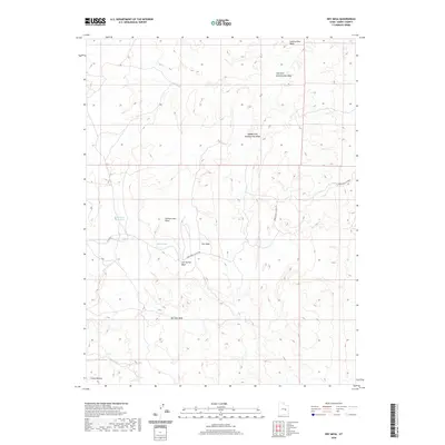 2020 Dry Mesa2020 Print · USGSEmery County is captured here in the contemporary era, showing a landscape defined by desert water management and high plateaus. Trace the path of the Green River Cutoff Rd or locate remote landmarks like Saleratus Reservoir and Horse Heaven.
Showing maps 1-25 of 206
Top cities of Emery County
- Huntington historical maps
- Castle Dale historical maps
- Ferron historical maps
- Orangeville historical maps
- Green River historical maps
- Cleveland historical maps
See more
Frequently asked questions
- What are the different types of historical maps available for Emery County?
- What is the oldest map of Emery County?
- Where can I purchase historical maps of Emery County for my home or office?
- Where can I download high-res historical maps of Emery County?
- Are there historical topographic maps available for Emery County?
- Is there historical aerial imagery available for Emery County?
- Where are historical maps of Emery County sourced from?