2020s Maps of Wasatch County, Utah
Explore 62 historic maps of Wasatch County from the 2020s. These maps offer a rare glimpse into what life looked like during the 2020s — showing old roads, neighborhoods, homes, and landmarks that have changed or disappeared over time.
Whether you're researching your family's past, planning a metal detecting trip, or studying how Wasatch County's landscape evolved across the 2020s, these high-resolution maps are a powerful tool for exploring the history of this region.
- Focus on a specific era: All maps on this page are from the 2020s, giving you a focused view of this time period.
- See what’s changed: Compare century-old streets, trails, and buildings to today's modern landscape using overlays and satellite layers.
- Research with precision: Use these maps for genealogy, historical research, land use analysis, or educational projects.
- View, download, or print: Maps are fully viewable online in high resolution, and can be downloaded or printed for your own records.
Start exploring Wasatch County's history through authentic maps from the 2020s. This is your window into the past.
Wasatch County, UT maps
(62)- 2020 Map of Center Creek, 2020 Print
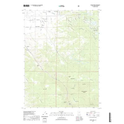 2020 Center Creek2020 Print · USGSThe high country of Wasatch County is documented here during a period of modern mountain development and forest management. Researchers can trace family sites near Center Creek Cem or follow the terrain from Heber Valley up into Daniels Canyon.
 - 2020 Map of Strawberry Reservoir NW, 2020 Print
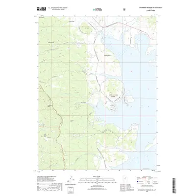 2020 Strawberry Reservoir NW2020 Print · USGSThe high Uinta backcountry is documented here during the early twenty-first century, showing the critical intersection of mountain water management and public lands. Trace the path of the Strawberry Tunnel and explore high-country landmarks like Doe Knoll and Sixth Water Divide.
 - 2020 Map of Heber Mountain, 2020 Print
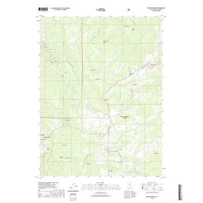 2020 Heber Mountain2020 Print · USGSThe high country of Wasatch County is captured here in the 2020s, showing where the Timber Lakes community meets the wilderness. Trace the transition from Independence streets to the peaks of Heber Mtn and the Uinta National Forest.
 - 2020 Map of Brighton, 2020 Print
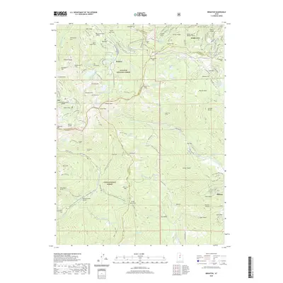 2020 Brighton2020 Print · USGSThe high peaks of the Wasatch Range come into focus in this detailed survey of the mountain passes and basins between Salt Lake and Summit counties. Researchers can trace the heritage of alpine settlements at Brighton and Alta or locate industrial sites like the Snake Creek Tunnel and Miller Hill Mining.
 - 2020 Map of Bridal Veil Falls, 2020 Print
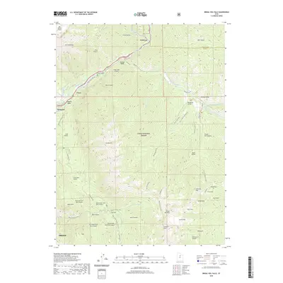 2020 Bridal Veil Falls2020 Print · USGSThe Provo Canyon corridor in the modern era is a critical link between the high peaks of the Wasatch Range and the valley below. Researchers can trace infrastructure and recreation through Vivian Park, the Salt Lake City Aqueduct, and the iconic Bridal Veil Falls.
 - 2020 Map of Strawberry Reservoir NE, 2020 Print
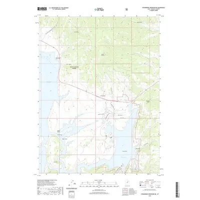 2020 Strawberry Reservoir NE2020 Print · USGSWasatch County high country comes into focus in this recent survey of the mountain wilderness and its vital water resources. Researchers can trace the engineering of the West Portal Water Hollow Tunnel and find local landmarks like Square Top Mtn and Chicken Spring.
 - 2020 Map of Wolf Creek Summit, 2020 Print
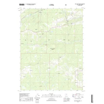 2020 Wolf Creek Summit2020 Print · USGSThe Wasatch Range high country is captured here during the 2020s, showing the complex headwaters of the Provo and Duchesne rivers. Outdoorsmen and researchers can trace the paths of the Granite School Trail or locate remote water features like Mill Hollow Reservoir and Heart Lake.
 - 2020 Map of Twin Peaks, 2020 Print
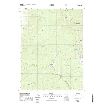 2020 Twin Peaks2020 Print · USGSThe high country of the Wasatch Range and Uinta National Forest is mapped here in the late 2010s. Researchers can trace the drainage of Clyde Creek and find legacy landmarks like Daniels Pass and the settlement of Independence.
 - 2020 Map of Charleston, 2020 Print
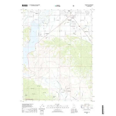 2020 Charleston2020 Print · USGSThe high valleys of the Wasatch Range are shown here in modern detail, from the shores of the Deer Creek Reservoir to the streets of Heber City. Researchers can trace local lineage at the Charleston Cem, locate the Wasatch County Court House, and follow irrigation routes like the Boren Ditch.
 - 2020 Map of Two Tom Hill, 2020 Print
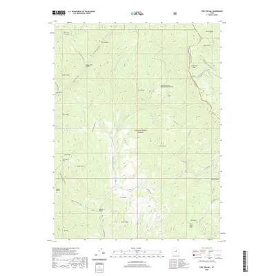 2020 Two Tom Hill2020 Print · USGSHigh in the Wasatch Range during the early twenty-first century, this area reveals the rugged intersection of Utah and Wasatch counties. Researchers can trace historic forest access via Diamond Fork Rd and find landmarks like Mollies Nipple, West Portal, and the Ruby Christensen Memorial Youth Forest.
 - 2020 Map of Park City East, 2020 Print
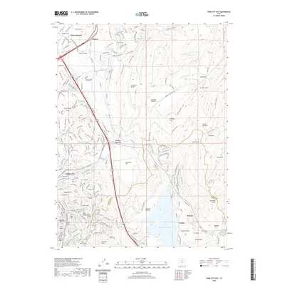 2020 Park City East2020 Print · USGSPark City and the Wasatch Range foothills show a landscape of mountain resorts and mining heritage in this modern era survey. Trace the path of the Rail Trail past Atkinson or locate mining-era landmarks like the Ontario Drain Tunnel near Deer Valley.
 - 2020 Map of Strawberry Reservoir SE, 2020 Print
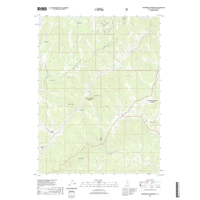 2020 Strawberry Reservoir SE2020 Print · USGSHigh in the Wasatch Range during the 2020s, this area showcases the intersection of protected wilderness and seasonal living. Trace old forest routes and natural water sources like Sid Spring, Truck Spring, and the winding Strawberry River.
 - 2020 Map of Heber City, 2020 Print
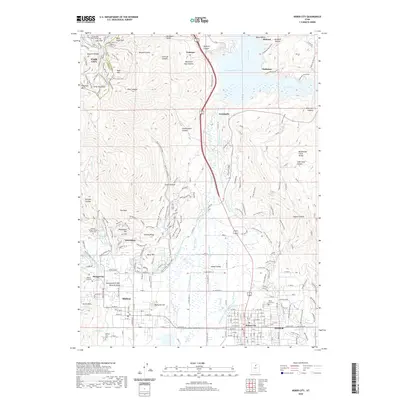 2020 Heber City2020 Print · USGSThe Heber Valley and its surrounding Wasatch peaks are shown here in the 2020s, highlighting the area's complex water management and high-altitude settlements. Genealogists can locate several local burial grounds and landmarks like Memorial Hill, Mound City Cem, and the Homestead Crater Mineral Dome.
 - 2020 Map of Co-op Creek, 2020 Print
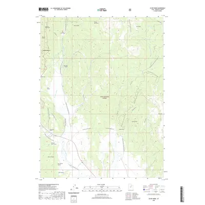 2020 Co-op Creek2020 Print · USGSWasatch County’s high country is captured here during a period of modern forest management and water diversion. Researchers can trace the path of the Strawberry Ditch, locate the small settlement of Independence, and explore seasonal landmarks like Mill B Flat and Red Ledge.
 - 2020 Map of Woodland, 2020 Print
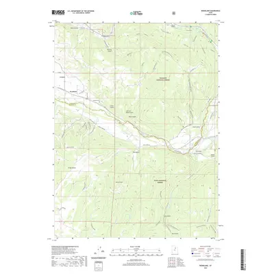 2020 Woodland2020 Print · USGSThe high mountain valleys of Summit and Wasatch counties are captured here just as the modern outdoor recreation network evolved. Researchers can trace family sites near Woodland Cem or locate seasonal routes through Pine Valley and Rileys Canyon.
 - 2020 Map of Soapstone Basin, 2020 Print
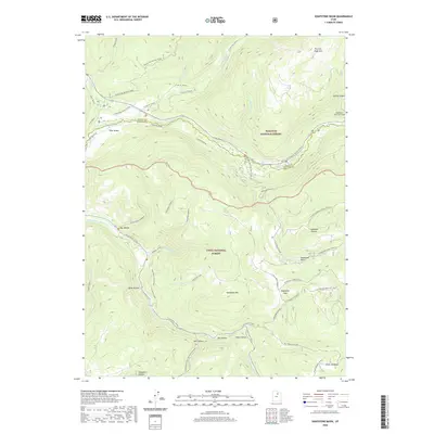 2020 Soapstone Basin2020 Print · USGSThe high Uinta and Wasatch forest boundaries meet here in the 2020s, showing a landscape defined by deep hollows and high-elevation water management. Trace the path of the West Portal Duchesne Tunnel and explore named landmarks like Soapstone Mtn and Iron Mine Creek.
 - 2020 Map of Wallsburg Ridge, 2020 Print
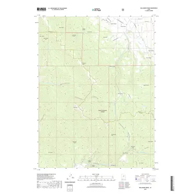 2020 Wallsburg Ridge2020 Print · USGSThe high Wasatch backcountry near the Utah and Wasatch county line is shown here in modern detail. Researchers can trace land features like Wallsburg Ridge, find local landmarks such as Warm Spring, or follow the course of Schoolhouse Cr.
 - 2020 Map of Strawberry Reservoir SW, 2020 Print
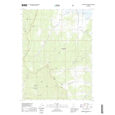 2020 Strawberry Reservoir SW2020 Print · USGSUtah and Wasatch counties converge in this high-elevation forest landscape during the early twenty-first century. Outdoor enthusiasts and local historians can trace seasonal routes and geographic landmarks from Strawberry Reservoir to the depths of Mine Hollow and Buffalo Canyon.
 - 2020 Map of Francis, 2020 Print
 2020 Francis2020 Print · USGSKamas Valley and the northern reaches of Heber Valley are documented here in the early twenty-first century as recreation and residential growth expand. Researchers can locate family sites at Kamas Cem and Lower Francis Cem or trace the Provo River as it enters Jordanelle Reservoir.
 - 2020 Map of Kamas, 2020 Print
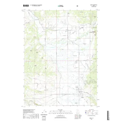 2020 Kamas2020 Print · USGSKamas and the surrounding valley settlements appear in this recent survey, showcasing a landscape where traditional agriculture meets modern trail development. Researchers can locate family sites and local landmarks at Peoa Cem, Marion Cem, and along the Weber River.
 - 2020 Map of Flat Ridge, 2020 Print
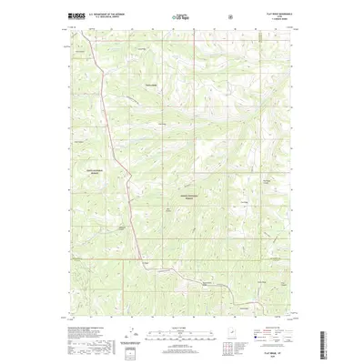 2020 Flat Ridge2020 Print · USGSHigh-country ridges and canyons define this area at the meeting of two National Forests. Researchers can trace remote ridgetop routes like Reservation Ridge Rd and locate water sources such as Bown Corral Reservoir and Indian Spring.
 - 2020 Map of Aspen Grove, 2020 Print
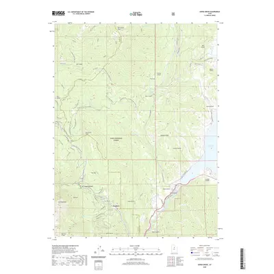 2020 Aspen Grove2020 Print · USGSThe high alpine resorts and rugged peaks of Utah County come into focus in the early twenty-first century. Researchers can trace local landmarks like Sundance and Aspen Grove, alongside natural features such as Mount Timpanogos, Deer Creek Reservoir, and Stewarts Cascades.
 - 2020 Map of Jimmies Point, 2020 Print
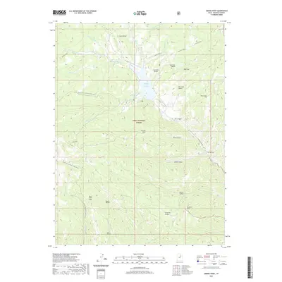 2020 Jimmies Point2020 Print · USGSWasatch County high country is mapped here in the modern era, centering on the Currant Creek Reservoir and the surrounding Uinta National Forest. Follow the rugged drainage from The Narrows up to high-ground landmarks like Jimmies Point and Buckhorn Knoll.
 - 2020 Map of Tucker, 2020 Print
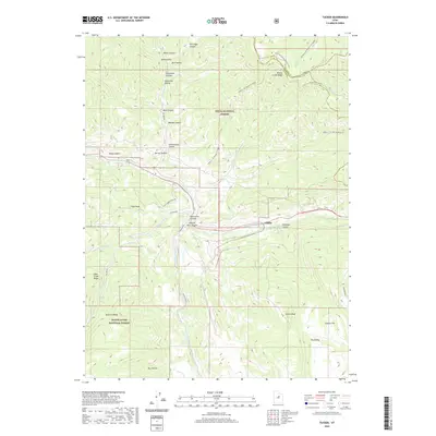 2020 Tucker2020 Print · USGSThe high mountain passes and deep canyons of Utah County are captured here in 2020, where the national forests converge at the settlement of Gilluly. Researchers can trace the drainage of Spanish Fork Canyon and locate distinctive landmarks like Mine Hollow and Tucker Peak.
 - 2020 Map of Soldier Summit, 2020 Print
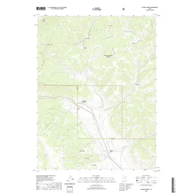 2020 Soldier Summit2020 Print · USGSHigh in the Wasatch Plateau, this contemporary survey captures the critical mountain pass at Soldier Summit during its modern era. Researchers can trace the headwaters of the White River and locate the historic Soldier Summit Cem near the Utah County line.
Showing maps 1-25 of 62
Top cities of Wasatch County
Frequently asked questions
- What are the different types of historical maps available for Wasatch County?
- What is the oldest map of Wasatch County?
- Where can I purchase historical maps of Wasatch County for my home or office?
- Where can I download high-res historical maps of Wasatch County?
- Are there historical topographic maps available for Wasatch County?
- Is there historical aerial imagery available for Wasatch County?
- Where are historical maps of Wasatch County sourced from?