2000s (21st Century) Maps of Adams County, Washington
Explore 305 historic maps of Adams County from the 2000s (21st Century). These maps offer a rare glimpse into what life looked like during the 2000s — showing old roads, neighborhoods, homes, and landmarks that have changed or disappeared over time.
Whether you're researching your family's past, planning a metal detecting trip, or studying how Adams County's landscape evolved across the 2000s, these high-resolution maps are a powerful tool for exploring the history of this region.
- Focus on a specific era: All maps on this page are from the 2000s, giving you a focused view of this time period.
- See what’s changed: Compare century-old streets, trails, and buildings to today's modern landscape using overlays and satellite layers.
- Research with precision: Use these maps for genealogy, historical research, land use analysis, or educational projects.
- View, download, or print: Maps are fully viewable online in high resolution, and can be downloaded or printed for your own records.
Start exploring Adams County's history through authentic maps from the 2000s. This is your window into the past.
Adams County, WA maps
(305)- 2011 Map of Ritzville NE, 2011 Print
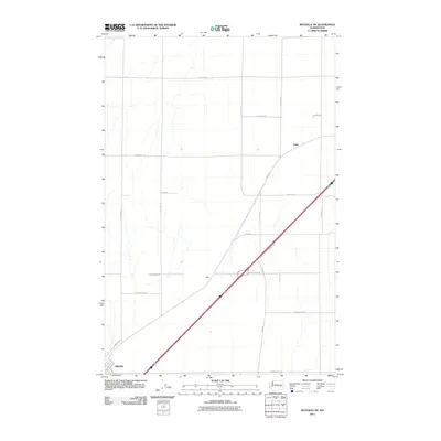 2011 Ritzville NE2011 Print · USGSRitzville and its surrounding farm country are captured here during the early twenty-first century as the region continued its legacy of dryland farming. Researchers can trace land boundaries and rural homesteads along E Schoessler Rd, Tokio, and E Wellsandt Rd.
 - 2011 Map of Sprague Lake SW, 2011 Print
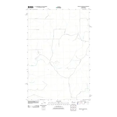 2011 Sprague Lake SW2011 Print · USGSAdams County land use and water drainage are clearly defined in this early 21st-century survey of the high desert. Researchers can trace the path of Crab Creek and find local family-named routes such as Doerschlag Rd E and Barbre Rd.
 - 2011 Map of Marengo, 2011 Print
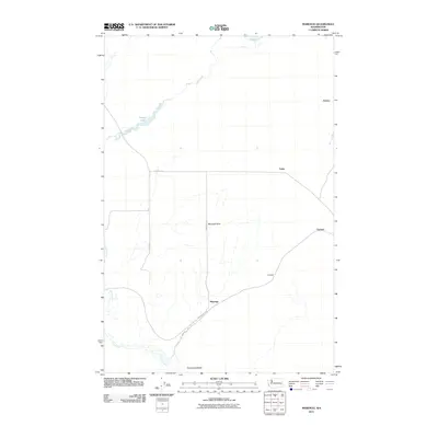 2011 Marengo2011 Print · USGSAdams County’s high-desert landscape is captured here in the early twenty-first century, showing the area's rural transition and settlement patterns. Researchers can trace the path of Cow Creek and locate community sites like Marengo, Teske, and Gillespie.
 - 2011 Map of Revere, 2011 Print
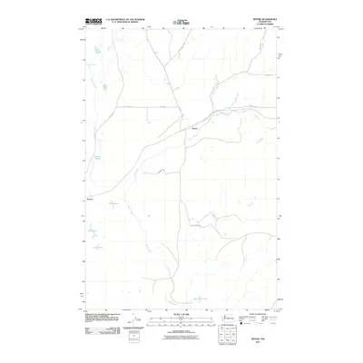 2011 Revere2011 Print · USGSWhitman County at the turn of the decade reveals a landscape of remote settlements and vital water sources. Trace the rural connections between Revere and Paxton, or locate landmarks like Buffalo Spring and Lake Thirty Two in this detailed topographic study.
 - 2011 Map of Lamont, 2011 Print
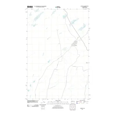 2011 Lamont2011 Print · USGSNear the turn of the millennium, this Whitman County settlement and its surrounding plateau reveal a complex network of Scabland lakes and rural routes. Researchers can trace local heritage at Grisham Cemetery or explore the drainage patterns of Alkali Lake and Fourth of July Lake.
 - 2011 Map of Sylvan Lake, 2011 Print
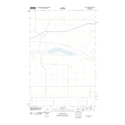 2011 Sylvan Lake2011 Print · USGSLincoln County’s high desert plateau is documented here in the early twenty-first century, centered on the waters of Sylvan Lake. Genealogists and local historians can trace family landholdings via rural routes like Laney Bros Rd E and Schoonover Rd N near Nemo.
 - 2011 Map of Reiman, 2011 Print
 2011 Reiman2011 Print · USGSThe high plateau of Adams County is shown here in the early 2000s, reflecting a landscape shaped by rural industry and family landholdings. Researchers can trace the layout of local homesteads and crossroads near Reiman, Lauer, and Jantz.
 - 2011 Map of Harrington SE, 2011 Print
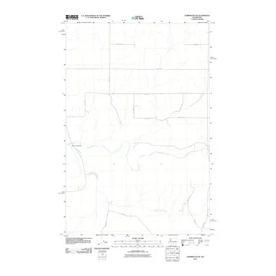 2011 Harrington SE2011 Print · USGSAdams County’s agricultural landscape is documented here in the early 2010s, showcasing the intersection of water and land. Researchers can trace the path of Crab Creek past local landmarks like the Rocky Ford Bridge and family-named routes such as Schuh Rd E.
 - 2011 Map of Macall, 2011 Print
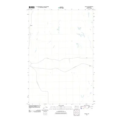 2011 Macall2011 Print · USGSEastern Washington’s high plateau is captured here in the early twenty-first century, showing a landscape of isolated settlements and ancient paths. You can trace the historic Old Military Rd and the contemporary John Wayne Trl as they pass near Emden and Paxton.
 - 2011 Map of Palm Lake, 2011 Print
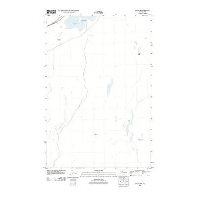 2011 Palm Lake2011 Print · USGSAdams County’s high desert landscape is shown here in the early twenty-first century, centered on the critical water systems of the region. Researchers can trace the path of the Old Military Rd as it passes the settlements of Ashby and Rockwell.
 - 2011 Map of Sprague Lake, 2011 Print
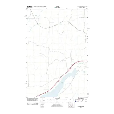 2011 Sprague Lake2011 Print · USGSIn the early twenty-first century, this region south of the town of Sprague showcases a landscape shaped by the Scablands' hydrology. Researchers can trace rural property lines and water features such as Pifer, Sprague Lake, and Eastman Pond.
 - 2011 Map of Weber, 2011 Print
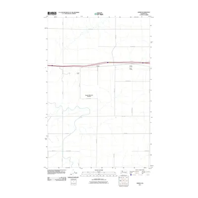 2011 Weber2011 Print · USGSAdams County agriculture and communal life are documented here during the early twenty-first century. Researchers can trace the layout of the Warden Hutterian Brethren and locate local landmarks like Schaeffer Spur and Bauer Coulee.
 - 2011 Map of Ritzville SW, 2011 Print
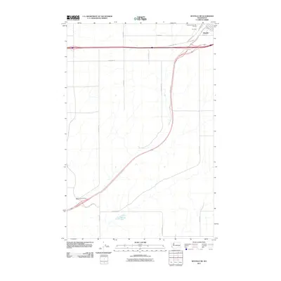 2011 Ritzville SW2011 Print · USGSRitzville and the surrounding Adams County wheat country are documented in the early twenty-first century as the landscape maintained its deep-rooted agricultural character. Genealogists and researchers can locate Paha Cemetery and trace the rural family routes along N Dewald Rd and E Sackman Rd.
 - 2011 Map of Sprague, 2011 Print
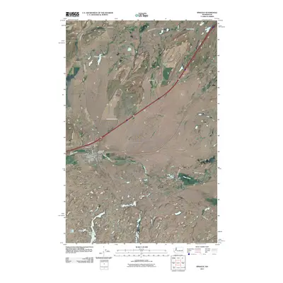 2011 Sprague2011 Print · USGSThe town of Sprague and its surrounding Scabland hydrology are captured here in the early 21st century. Genealogists and local historians can trace family locations at Lake View Cemetery or Macabee Cemetery and follow the paths of Negro Creek and Snyder Slough.
 - 2011 Map of Reiman SW, 2011 Print
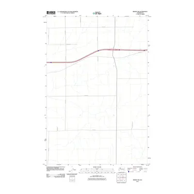 2011 Reiman SW2011 Print · USGSThe rural expanses of Adams County are documented here in the early twenty-first century, showing a landscape shaped by industrial-scale agriculture. Researchers can trace the family-named road network and land divisions along E Franz Rd, N Lauer Rd, and E Weber Rd.
 - 2011 Map of Batum, 2011 Print
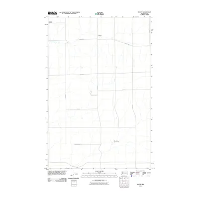 2011 Batum2011 Print · USGSAdams County’s high plateau is captured here in the early twenty-first century, showing a landscape of vast agricultural grids and hidden military history. Researchers can locate the Titan Missile Silo, trace family roots at Ammaus Cemetery, and explore the rural crossroads of Batum.
 - 2011 Map of Ritzville SE, 2011 Print
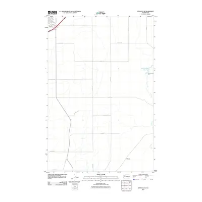 2011 Ritzville SE2011 Print · USGSRitzville and its surrounding farm country are captured here at the start of the 2010s. Researchers can trace the intersection of town life and rural water management along Cow Creek and the Sheep Springs Reservoir, or follow section lines like Whittlesey Rd.
 - 2011 Map of Schrag, 2011 Print
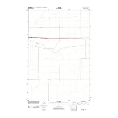 2011 Schrag2011 Print · USGSAdams County farming country is seen here in the early twenty-first century, showcasing the sparse settlement of the Columbia Plateau. Researchers can trace rural land divisions and family-named routes like W Urquhart Rd, Batum Rd, and Schrag.
 - 2011 Map of Irby, 2011 Print
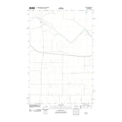 2011 Irby2011 Print · USGSLincoln County’s agricultural landscape is detailed in this 2011 survey of the area around Irby. Genealogists and local historians can trace the rural road network and watercourses like Crab Creek, Lake Creek, and the family-named Kagele Rd N.
 - 2011 Map of Reiman SE, 2011 Print
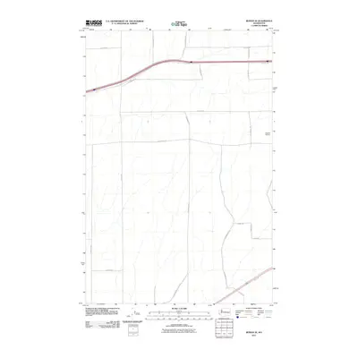 2011 Reiman SE2011 Print · USGSThis Adams County landscape shows the rural agricultural character of Eastern Washington in the early twenty-first century. Genealogists and local historians can trace the road network named for area families, including N Longmeier Rd and Dewald Airport.
 - 2011 Map of Odessa, 2011 Print
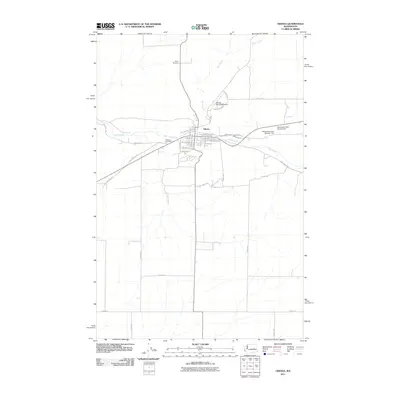 2011 Odessa2011 Print · USGSThe community of Odessa is shown in the early twenty-first century as a hub of grain-country infrastructure and local heritage. Genealogists and historians can trace family-named landmarks like the Reich Windmill or investigate the grounds of the Odessa Cemetery.
 - 2011 Map of Schoonover, 2011 Print
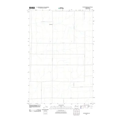 2011 Schoonover2011 Print · USGSEastern Washington’s agricultural plateau is documented here in the early twenty-first century, centered on the settlement of Schoonover. Researchers can trace local heritage through namesake routes like N Schoonover Rd, N Nielsen Rd, and E Neergaard Rd.
 - 2011 Map of Karakul Hills, 2011 Print
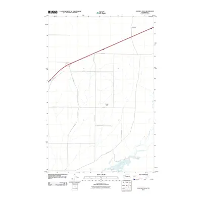 2011 Karakul Hills2011 Print · USGSThe rural interior of Adams County is shown here in the early twenty-first century, characterized by its vast agricultural grid and drainage basins. Genealogists and researchers can trace family-named landmarks and routes such as N Durry Rd and Lugenbeal Creek near the settlement of Keystone.
 - 2011 Map of Ruff, 2011 Print
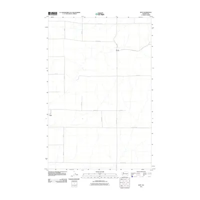 2011 Ruff2011 Print · USGSThe settlement of Ruff and the community at Moody are shown in this 2011 survey of the Grant County landscape. Researchers can trace the vast grid of named rural routes, including Tokio Rd W, W Rosenoff Rd, and Schoessler Rd W.
 - 2011 Map of Marlin SW, 2011 Print
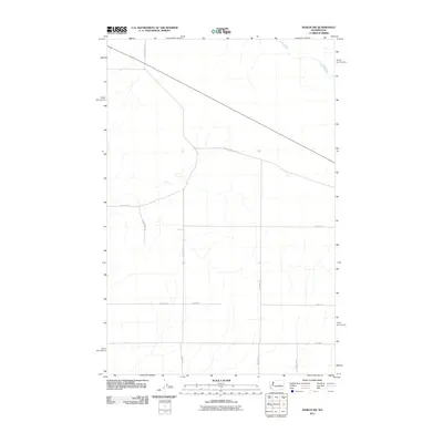 2011 Marlin SW2011 Print · USGSGrant County in the early twenty-first century reveals a landscape defined by its agricultural grid and the historic path of the creek. Genealogists and local historians can trace family land ties along Old Highway 10 Rd E and Crab Creek.
Showing maps 1-25 of 305
Top cities of Adams County
- Othello historical maps
- Ritzville historical maps
- Lind historical maps
- Washtucna historical maps
- Hatton historical maps
Frequently asked questions
- What are the different types of historical maps available for Adams County?
- What is the oldest map of Adams County?
- Where can I purchase historical maps of Adams County for my home or office?
- Where can I download high-res historical maps of Adams County?
- Are there historical topographic maps available for Adams County?
- Is there historical aerial imagery available for Adams County?
- Where are historical maps of Adams County sourced from?