2020s Maps of Adams County, Washington
Explore 122 historic maps of Adams County from the 2020s. These maps offer a rare glimpse into what life looked like during the 2020s — showing old roads, neighborhoods, homes, and landmarks that have changed or disappeared over time.
Whether you're researching your family's past, planning a metal detecting trip, or studying how Adams County's landscape evolved across the 2020s, these high-resolution maps are a powerful tool for exploring the history of this region.
- Focus on a specific era: All maps on this page are from the 2020s, giving you a focused view of this time period.
- See what’s changed: Compare century-old streets, trails, and buildings to today's modern landscape using overlays and satellite layers.
- Research with precision: Use these maps for genealogy, historical research, land use analysis, or educational projects.
- View, download, or print: Maps are fully viewable online in high resolution, and can be downloaded or printed for your own records.
Start exploring Adams County's history through authentic maps from the 2020s. This is your window into the past.
Adams County, WA maps
(122)- 2020 Map of Schrag, 2020 Print
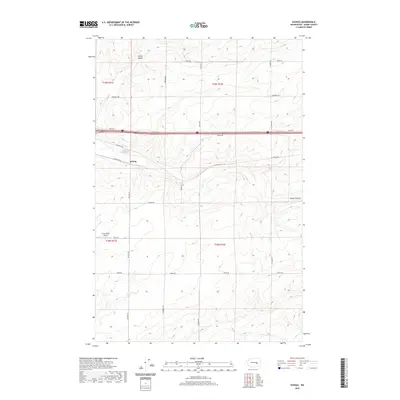 2020 Schrag2020 Print · USGSThe high plateau of Adams County is shown in detail during the early 2020s, centered on the settlement of Schrag. Genealogists and researchers can trace family-named routes like Franz Rd and Leisle Rd or locate the Franz Ranch Airport and Farrier Coulee.
 - 2020 Map of Ruff, 2020 Print
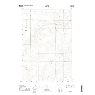 2020 Ruff2020 Print · USGSEastern Washington's scabland topography is revealed in this modern survey of the high plateau during the early twenty-first century. Genealogists and historians can trace the rural road networks and township boundaries connecting Ruff and Moody across the deep cuts of Sand Coulee.
 - 2020 Map of Hooper, 2020 Print
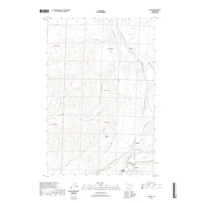 2020 Hooper2020 Print · USGSWhitman County's agricultural heartland is documented here in the recent era as the Palouse landscape transitions to recreational use. Researchers can trace the path of the Columbia Plateau State Park Trail near Hooper and find historic sites like Ankeny.
 - 2020 Map of Ralston, 2020 Print
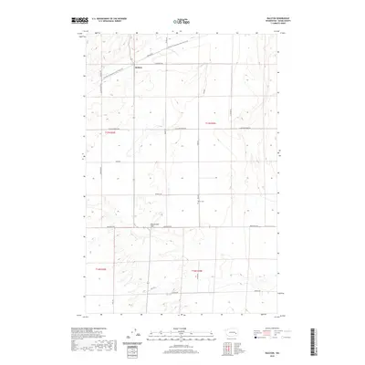 2020 Ralston2020 Print · USGSThe rural landscape of Adams County comes into focus in the 2020s, centered on the settlement of Ralston. Researchers can trace the path of the Palouse To Cascades State Park Trail and locate family landmarks like Bemis Cem and Rattlesnake Flat.
 - 2020 Map of Connell, 2020 Print
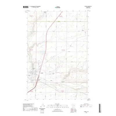 2020 Connell2020 Print · USGSFranklin County's high desert landscape comes into focus in this recent survey of the region's coulee-carved terrain. Researchers can trace the layout of Connell, the Connell City Airport, and rural settlements like Myers and Curry near Rattlesnake Canyon.
 - 2020 Map of Ritzville NE, 2020 Print
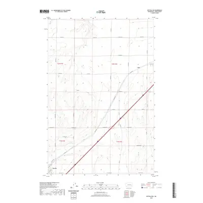 2020 Ritzville NE2020 Print · USGSAdams County’s high plains are mapped here in the early twenty-first century, showing the rural road networks and agricultural tracts around Tokio. Genealogists and local historians can trace family-named routes like Bauman Rd, Danekas Rd, and E Neergaard Rd.
 - 2020 Map of Lind SW, 2020 Print
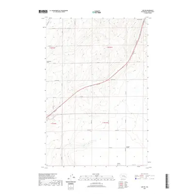 2020 Lind SW2020 Print · USGSAdams County’s high desert landscape is documented here in the early twenty-first century, showing the intersection of deep coulees and agricultural prairie. Researchers can locate the Michigan Prairie Cem and trace the paths of Hatton Coulee and Neilson Rd.
 - 2020 Map of Kahlotus, 2020 Print
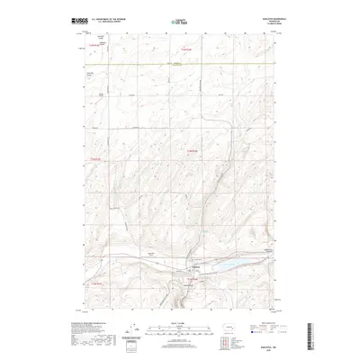 2020 Kahlotus2020 Print · USGSKahlotus and the surrounding Franklin County landscape are shown in the modern era as a region of deep coulees and plateau farming. Researchers can trace local landmarks like Lakeview Cem or follow the Columbia Plateau State Park Trail through Devils Canyon.
 - 2020 Map of Harrington SE, 2020 Print
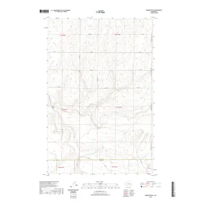 2020 Harrington SE2020 Print · USGSThe rural borderlands between Lincoln and Adams counties are captured in this contemporary survey of the Washington wheat country. Researchers can trace land ownership and infrastructure via Rocky Ford Bridge and roads like Manke Rd and Klein Rd.
 - 2020 Map of Marengo, 2020 Print
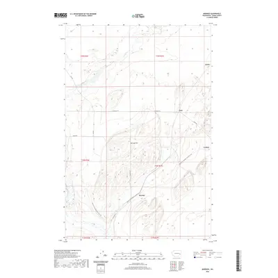 2020 Marengo2020 Print · USGSAdams County’s high desert landscape comes into focus during the early twenty-first century, showing the small settlements and rugged Coulee country. You can trace the path of the Palouse To Cascades State Park Trail near Marengo and locate rural sites like Teske and Carlmar.
 - 2020 Map of Sulphur Lake, 2020 Print
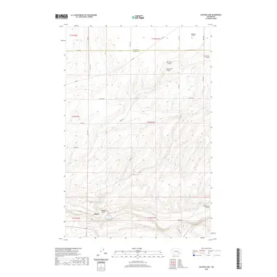 2020 Sulphur Lake2020 Print · USGSThe border of Adams and Franklin counties comes into focus in this recent survey of the Channeled Scablands. Genealogists and researchers can trace the rural communities of Sulphur and Estes or explore the deep terrain of Washtucna Coulee and Hardesty Coulee.
 - 2020 Map of Sprague Lake, 2020 Print
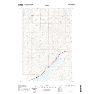 2020 Sprague Lake2020 Print · USGSSprague Lake and the settlement of Pifer appear in the 2020s at the junction of Lincoln and Adams counties. Local history researchers can trace family-named routes like Max Harder Rd and Bob Lee Rd alongside Eastman Pond and Clear Lake.
 - 2020 Map of Providence, 2020 Print
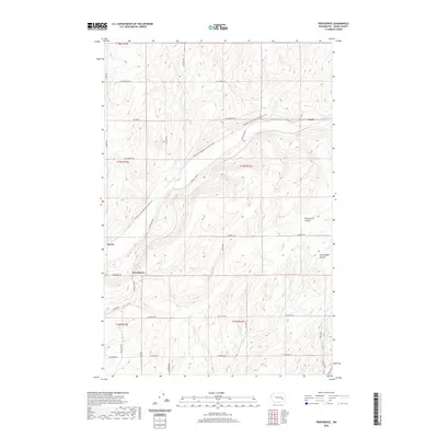 2020 Providence2020 Print · USGSAdams County’s high desert landscape comes into focus during this modern survey of the Palouse region. Local historians can trace the paths of old rail lines along the Palouse To Cascades State Park Trail and find family-named routes like Hoffman Rd and Lauer Rd.
 - 2020 Map of Reiman SE, 2020 Print
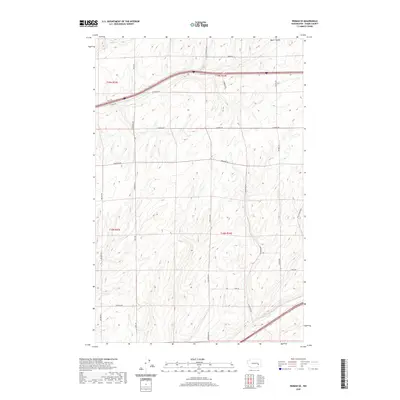 2020 Reiman SE2020 Print · USGSThis Adams County landscape in the early twenty-first century shows a productive agricultural region defined by its coulees and vast section lines. Researchers can trace rural family-named routes such as Wahl Rd, Longmeier Rd, and Paha Packard Rd as they navigate the terrain around Bauer Coulee.
 - 2020 Map of Ritzville SE, 2020 Print
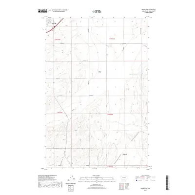 2020 Ritzville SE2020 Print · USGSAdams County's agricultural landscape is seen here in the contemporary era, anchored by the southeastern edge of Ritzville. Researchers can trace the path of the Palouse To Cascades State Park Trail or locate rural landmarks like Sheep Springs Reservoir and McElroy Coulee.
 - 2020 Map of Rattlesnake Canyon, 2020 Print
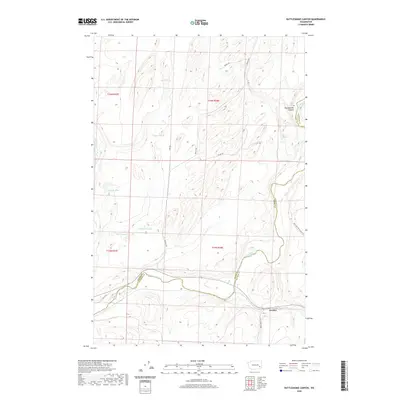 2020 Rattlesnake Canyon2020 Print · USGSThe Palouse River country at the Adams and Whitman county line comes into focus in this recent survey. Local historians can trace the rural landscape from the settlement of Gordon to the depths of Rattlesnake Canyon and isolated water sources like Negro Lake.
 - 2020 Map of Irby, 2020 Print
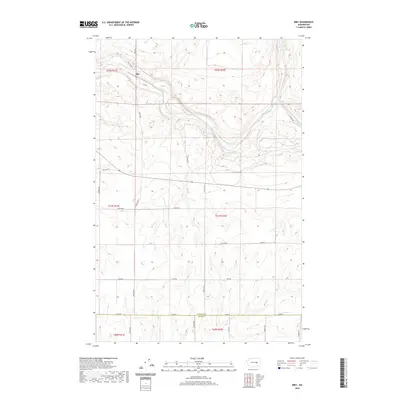 2020 Irby2020 Print · USGSThe rural landscape around Irby is documented here as it appeared in the early 2020s, dominated by the coulees and scablands of the Big Bend. Local researchers can trace property access and field boundaries via Bates Rd E, Fink Rd, and Old Hwy Lp.
 - 2020 Map of Hatton, 2020 Print
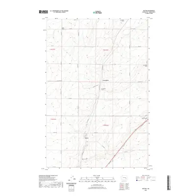 2020 Hatton2020 Print · USGSThe agricultural landscape of Adams County comes into focus in this recent survey of the Channeled Scablands. Genealogists and local historians can trace the road networks around Hatton and Cunningham, following routes like Neilson Rd through Hatton Coulee.
 - 2020 Map of Batum, 2020 Print
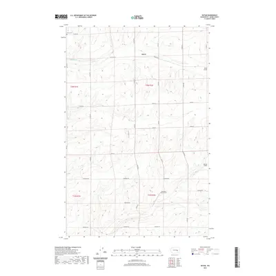 2020 Batum2020 Print · USGSBatum and the surrounding plains of Adams County appear in the early twenty-first century as a landscape of remote ranching and Cold War relics. Researchers can locate the Emmaus Cem and trace the proximity of a Titan Missile Silo to local landmarks like Rock Spring.
 - 2020 Map of Shano, 2020 Print
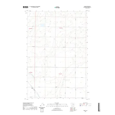 2020 Shano2020 Print · USGSAdams County’s high desert irrigation systems are in full view in the contemporary era. Trace the path of the East Low Canal and Scooteney Wasteway through Paradise Flats and the rural junction of Shano.
 - 2020 Map of Weber, 2020 Print
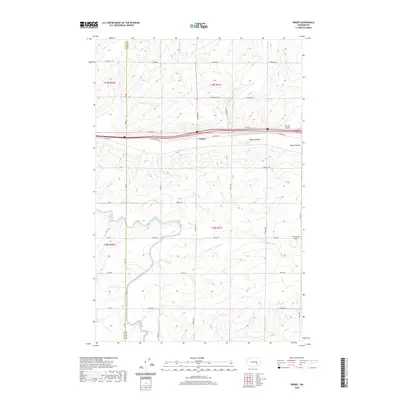 2020 Weber2020 Print · USGSThe agricultural landscape of the Grant and Adams County border is captured here in the early twenty-first century. Genealogists and local historians can trace family-named routes and landmarks like Leisle Rd, Sackman Rd, and the Franz Ranch Airport.
 - 2020 Map of Frischknecht, 2020 Print
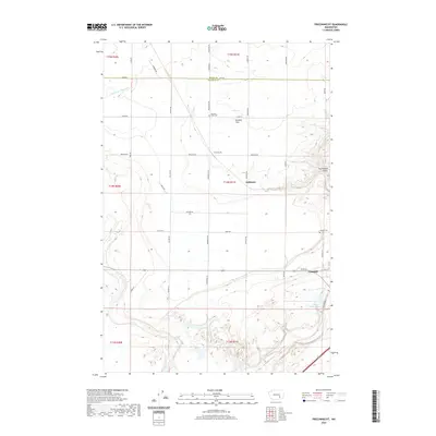 2020 Frischknecht2020 Print · USGSFranklin County's high plateau and deep coulees are captured here in the contemporary era. Researchers can trace the layout of Connell and the agricultural grid connecting Frischknecht, Schlomer, and the Paradise Flats Cem.
 - 2020 Map of Washtucna South, 2020 Print
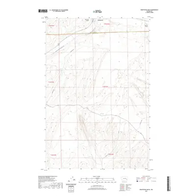 2020 Washtucna South2020 Print · USGSEastern Washington’s high desert and coulee country are captured here just south of Washtucna. Researchers can trace the path of the Columbia-Plateau State Park Trail and find family-named routes like Nunamaker Rd and Davin Rd.
 - 2020 Map of Lind SE, 2020 Print
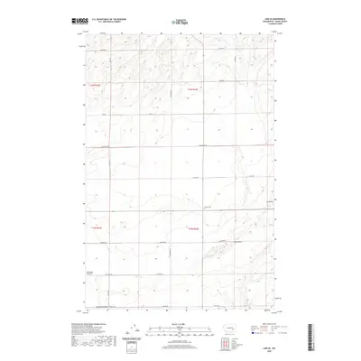 2020 Lind SE2020 Print · USGSAdams County in the modern era maintains its rural character across the heights of Michigan Prairie. Researchers can locate the Delight Cem and trace family-named routes like Sutton Rd and Hampton Rd near McChesney Spring.
 - 2020 Map of Karakul Hills, 2020 Print
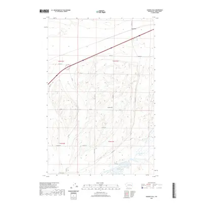 2020 Karakul Hills2020 Print · USGSThe scabland topography of Adams County is captured in detail here as it appeared in the early twenty-first century. Researchers can trace the section-line roads of Keystone and the drainage of Cow Creek as they wind through the Karakul Hills.
Showing maps 1-25 of 122
Top cities of Adams County
- Othello historical maps
- Ritzville historical maps
- Lind historical maps
- Washtucna historical maps
- Hatton historical maps
Frequently asked questions
- What are the different types of historical maps available for Adams County?
- What is the oldest map of Adams County?
- Where can I purchase historical maps of Adams County for my home or office?
- Where can I download high-res historical maps of Adams County?
- Are there historical topographic maps available for Adams County?
- Is there historical aerial imagery available for Adams County?
- Where are historical maps of Adams County sourced from?