2010s Maps of Benton County, Washington
Explore 141 historic maps of Benton County from the 2010s. These maps offer a rare glimpse into what life looked like during the 2010s — showing old roads, neighborhoods, homes, and landmarks that have changed or disappeared over time.
Whether you're researching your family's past, planning a metal detecting trip, or studying how Benton County's landscape evolved across the 2010s, these high-resolution maps are a powerful tool for exploring the history of this region.
- Focus on a specific era: All maps on this page are from the 2010s, giving you a focused view of this time period.
- See what’s changed: Compare century-old streets, trails, and buildings to today's modern landscape using overlays and satellite layers.
- Research with precision: Use these maps for genealogy, historical research, land use analysis, or educational projects.
- View, download, or print: Maps are fully viewable online in high resolution, and can be downloaded or printed for your own records.
Start exploring Benton County's history through authentic maps from the 2010s. This is your window into the past.
Benton County, WA maps
(141)- 2011 Map of Canoe Ridge, 2011 Print
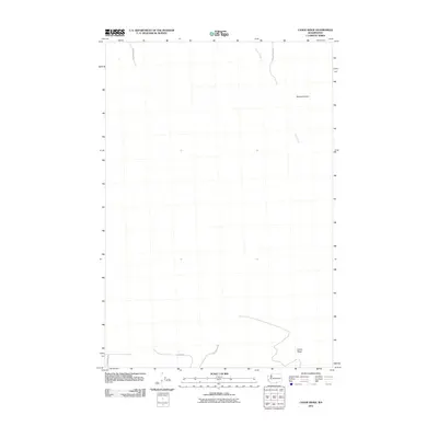 2011 Canoe Ridge2011 Print · USGSBenton County's high-plateau landscape is captured here in the early twenty-first century, showcasing the rural road networks of the Pacific Northwest. Researchers can trace land use patterns and local transit routes like Sonova Rd, Canoe Ridge, and Glade Creek.
 - 2011 Map of Humorist, 2011 Print
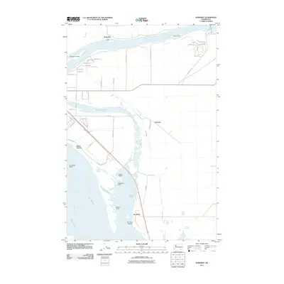 2011 Humorist2011 Print · USGSThe confluence of the Snake and Columbia Rivers is captured here in the early twenty-first century, showing a landscape defined by massive water projects and river transit. You can trace the development of small settlements like Martindale and Humorist, or locate landmarks such as the Ice Harbor Lock and Dam and Villard Junction.
 - 2011 Map of Johnson Butte, 2011 Print
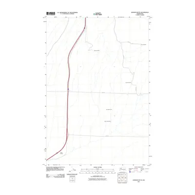 2011 Johnson Butte2011 Print · USGSBenton County at the start of the 2010s shows a landscape of strategic water management and rural homesteads. Genealogists and local historians can trace family-named routes and structures like Pat Owens Dam, Johnson Butte, and Coffin Rd.
 - 2011 Map of Richland, 2011 Print
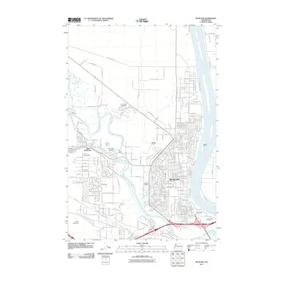 2011 Richland2011 Print · USGSRichland and its western neighbor grew rapidly along the banks of the Columbia and Yakima Rivers in the early twenty-first century. Genealogists and local historians can trace modern development around Resthaven Cemetery, the Richland Airport, and Fox Island.
 - 2011 Map of Emerson Nipple, 2011 Print
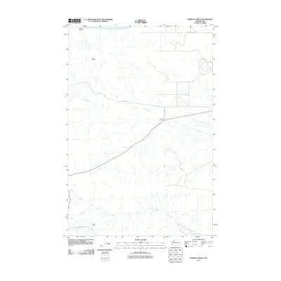 2011 Emerson Nipple2011 Print · USGSYakima County’s high desert is captured here in the early twenty-first century, showing a landscape defined by seasonal waters and isolated ranchlands. Researchers can trace the layout of the Roberts Ranch, identify water sources at Barrel Springs, and locate infrastructure like the Midway Sub Sta.
 - 2011 Map of Snipes Creek, 2011 Print
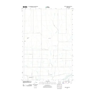 2011 Snipes Creek2011 Print · USGSBenton County agriculture and arid drainage systems are captured here in the early twenty-first century. Researchers can trace the layout of the Washington State University Experimental Station and landforms like Sagebrush Ridge or Crow Canyon.
 - 2011 Map of Vernita Bridge, 2011 Print
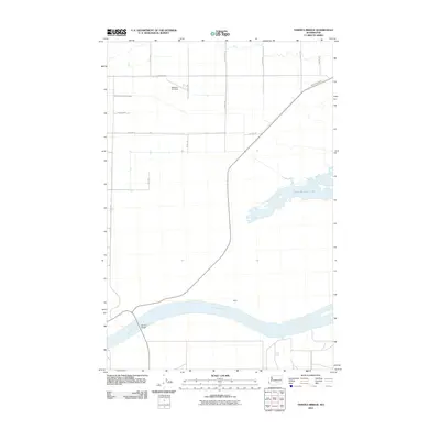 2011 Vernita Bridge2011 Print · USGSBenton County at the start of the second decade of the millennium shows a landscape shaped by the mighty river and modern irrigation. Trace the path of the Columbia River past Haven or locate the Mattawa Air Strip and the vital crossing at Vernita Bridge.
 - 2011 Map of Whitstran, 2011 Print
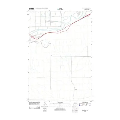 2011 Whitstran2011 Print · USGSBenton County agriculture and the Yakima Valley irrigation network are on full display in this early 21st-century survey. Trace the path of the Yakima River through rural settlements like Whitstran and Gibbon, or locate family landmarks such as the Davis Ranch.
 - 2011 Map of Cairn Hope Peak, 2011 Print
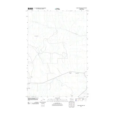 2011 Cairn Hope Peak2011 Print · USGSYakima County ranching country and high-desert terrain are captured here in the early twenty-first century. Genealogists and local historians can locate family landmarks such as Taylor Ranch and Meeboer Ranch or visit the Black Rock Cemetery.
 - 2011 Map of Whitstran SE, 2011 Print
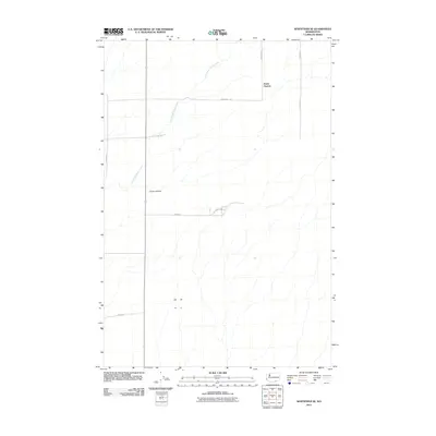 2011 Whitstran SE2011 Print · USGSBenton County’s high plateau is captured here in the early 21st century, showing the remote agricultural landscape of the Horse Heaven Hills. Researchers can trace the drainage of East Branch Glade Creek and locate rural landmarks like Carter Canyon and Lenzie Rd.
 - 2011 Map of Snively Basin, 2011 Print
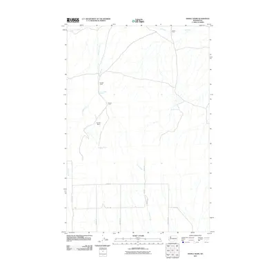 2011 Snively Basin2011 Print · USGSBenton County ranching and water rights take center stage in this early twenty-first-century survey of the high desert. Genealogists and researchers can trace local family landmarks such as Snively Ranch, Benson Ranch, and several water sources like Lower Snively Spring.
 - 2011 Map of Iowa Flats, 2011 Print
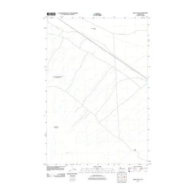 2011 Iowa Flats2011 Print · USGSBenton County's arid plains and foothills are captured here in the early 21st century, centered on the high ground of the Rattlesnake Hills Research Natural Area. Researchers and local historians can trace the paths of Army Loop Rd and locate the secluded Sam White Spring beneath Rattlesnake Mountain.
 - 2011 Map of Prior Ranch, 2011 Print
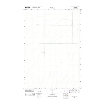 2011 Prior Ranch2011 Print · USGSBenton County ranch lands appear in detail at the turn of the decade, showing the organized development of rural Washington. Researchers can trace land access and family holdings through landmarks like Prior Ranch and connecting routes such as S Badger Canyon Rd.
 - 2011 Map of Riverland, 2011 Print
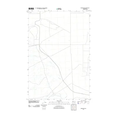 2011 Riverland2011 Print · USGSBenton County's high desert landscape appears in the early twenty-first century as a land of wide-open spaces and strategic infrastructure. Researchers can trace the drainage of Cold Creek and find the settlement of Riverland along the northern edge of the survey.
 - 2011 Map of Prosser SE, 2011 Print
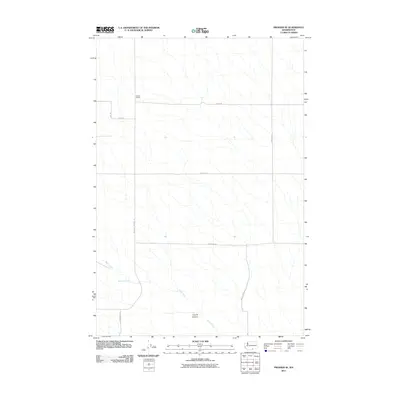 2011 Prosser SE2011 Print · USGSThe Horse Heaven Hills area of Yakima County shows its ranching and agricultural framework in this early 2000s survey. Researchers can trace the layout of family-held land at Youngs Ranch and locate water resources like McKinley Springs.
 - 2011 Map of Badger Mountain, 2011 Print
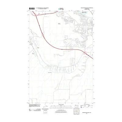 2011 Badger Mountain2011 Print · USGSThe outskirts of Richland and the rugged heights of Badger Mountain are captured here during a period of rapid suburban and rural expansion. Trace irrigation infrastructure like the Columbia Canal alongside local landmarks such as Meadow Springs Dam and Goose Gap.
 - 2011 Map of Coyote Rapids, 2011 Print
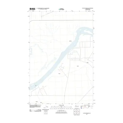 2011 Coyote Rapids2011 Print · USGSThe Benton County riverfront comes into focus during the early twenty-first century as the river passes the turbulent Coyote Rapids. Local researchers can trace the placement of smaller settlements and named points like Allard, Wahluke, and Bettie.
 - 2011 Map of Maiden Spring, 2011 Print
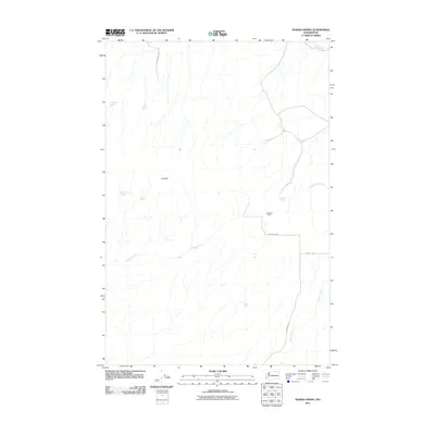 2011 Maiden Spring2011 Print · USGSYakima County ranching and water rights come into focus during the early twenty-first century in this study of the arid interior. Researchers can locate family-named landmarks and essential water sources like Bennett Ranch, Maiden Spring, and Olson Spring.
 - 2011 Map of Priest Rapids NE, 2011 Print
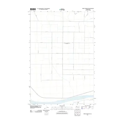 2011 Priest Rapids NE2011 Print · USGSThis Grant County agricultural landscape near the Columbia River reflects decades of irrigation and orchard growth. Local researchers can trace the regional road grid and water infrastructure like the Mattawa Drain and Christensen Brothers Wahluke Strip Airport.
 - 2011 Map of Benton City, 2011 Print
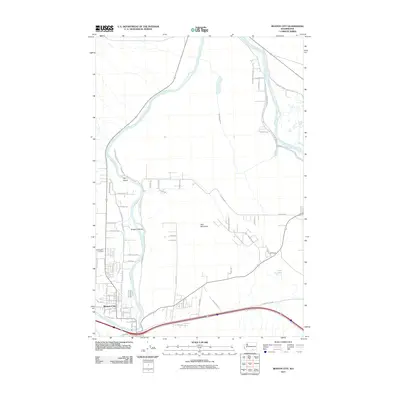 2011 Benton City2011 Print · USGSBenton City and the surrounding Yakima River valley are captured in this early twenty-first-century survey. Researchers can trace local lineage at Evergreen Cemetery or explore the irrigation geography of McWhorter Canal and the peaks of Red Mountain.
 - 2011 Map of Wooded Island, 2011 Print
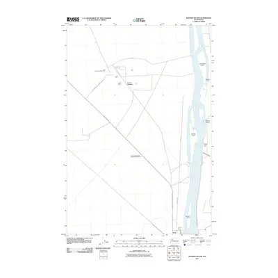 2011 Wooded Island2011 Print · USGSThe Columbia River corridor north of Richland is captured here in the early twenty-first century, showing the unique intersection of river geography and federal land management. Researchers can trace specialized sites like the Wye Radioactive Waste Dump or explore river features such as Wooded Island and Taylor Flat.
 - 2011 Map of Whitstran NE, 2011 Print
 2011 Whitstran NE2011 Print · USGSBenton County agriculture and high desert terrain are documented here in the early twenty-first century. Genealogists and local historians can trace family land via roads like Cemetery Rd and Weller Rd near the slopes of Chandler Butte.
 - 2011 Map of Gable Butte, 2011 Print
 2011 Gable Butte2011 Print · USGSBenton County in the early twenty-first century reveals a landscape of specialized outposts and distinct landmarks. You can trace the road network along Army Loop Rd and locate the named sites of Pearl, Susie, and Willa across the desert terrain.
 - 2011 Map of Horn Rapids Dam, 2011 Print
 2011 Horn Rapids Dam2011 Print · USGSBenton County at the start of the decade showcases the intersection of the Yakima River corridor and restricted government lands. Researchers can trace infrastructure around the Horn Rapids Dam and map security landmarks like the Wye Barricade and Hanford Road Barricade.
 - 2011 Map of Lenzie Ranch, 2011 Print
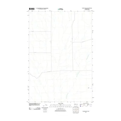 2011 Lenzie Ranch2011 Print · USGSBenton County ranching country is mapped here in the early twenty-first century, showing the remote agricultural landscape as it stood a decade ago. Researchers can trace land access via Horrigan Rd or locate the namesake Lenzie Ranch near the East Branch Glade Creek.
Showing maps 1-25 of 141
Top cities of Benton County
- Kennewick historical maps
- Richland historical maps
- West Richland historical maps
- Prosser historical maps
- Finley historical maps
- Benton City historical maps
Frequently asked questions
- What are the different types of historical maps available for Benton County?
- What is the oldest map of Benton County?
- Where can I purchase historical maps of Benton County for my home or office?
- Where can I download high-res historical maps of Benton County?
- Are there historical topographic maps available for Benton County?
- Is there historical aerial imagery available for Benton County?
- Where are historical maps of Benton County sourced from?