2020s Maps of Clallam County, Washington
Explore 118 historic maps of Clallam County from the 2020s. These maps offer a rare glimpse into what life looked like during the 2020s — showing old roads, neighborhoods, homes, and landmarks that have changed or disappeared over time.
Whether you're researching your family's past, planning a metal detecting trip, or studying how Clallam County's landscape evolved across the 2020s, these high-resolution maps are a powerful tool for exploring the history of this region.
- Focus on a specific era: All maps on this page are from the 2020s, giving you a focused view of this time period.
- See what’s changed: Compare century-old streets, trails, and buildings to today's modern landscape using overlays and satellite layers.
- Research with precision: Use these maps for genealogy, historical research, land use analysis, or educational projects.
- View, download, or print: Maps are fully viewable online in high resolution, and can be downloaded or printed for your own records.
Start exploring Clallam County's history through authentic maps from the 2020s. This is your window into the past.
Clallam County, WA maps
(118)- 2020 Map of Dungeness, 2020 Print
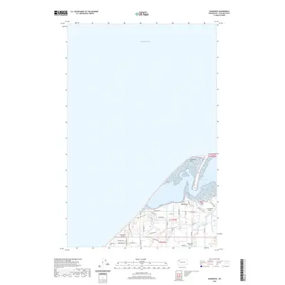 2020 Dungeness2020 Print · USGSThe Olympic Peninsula shoreline comes into focus during the early twenty-first century as the Dungeness Spit shelters the calm waters of the bay. Researchers can trace the rural layout of Old Town and locate local landmarks like Blue Ribbon Airport and Rake's Glen Airport.
 - 2020 Map of Carlsborg, 2020 Print
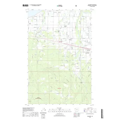 2020 Carlsborg2020 Print · USGSThe Olympic Peninsula's unique rain shadow landscape is captured here as the settlements of Sequim and Carlsborg expand across the valley. Researchers can trace land development around the Dungeness River, the Sequim Valley Airport, and the Olympic National Forest boundary.
 - 2020 Map of Sequim, 2020 Print
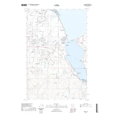 2020 Sequim2020 Print · USGSCoastal Clallam County is shown in remarkable detail in 2020, capturing the developed interior around Sequim and the protected waters of Sequim Bay. Researchers can trace local landmarks from Sequim View Cem to the shoreline at Port Williams and Jamestown.
 - 2020 Map of Quillayute Prairie, 2020 Print
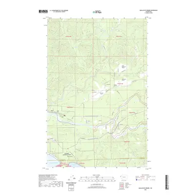 2020 Quillayute Prairie2020 Print · USGSCoastal Washington forests and river confluences meet at the Pacific edge in this recent study of the Olympic Peninsula. Genealogists and hikers can trace the Quillayute Prairie Cem or follow the Pacific NW National Scenic Trail through Mora.
 - 2020 Map of Forks, 2020 Print
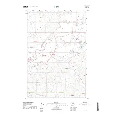 2020 Forks2020 Print · USGSForks and the surrounding Olympic Peninsula river valleys are documented here during the early twenty-first century. Researchers can trace the layout of Forks, locate the Forks Airport, and follow the winding courses of the Sol Duc River and Calawah River.
 - 2020 Map of Dungeness OE E, 2020 Print
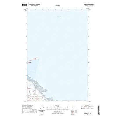 2020 Dungeness OE E2020 Print · USGSThe Clallam County coast is shown in modern detail as the Dungeness Spit shelters the waters of the Salish Sea. Local historians and pilots can trace the shore near Meadowbrook to find Rucilla's Roost Airport and Blue Heron Field.
 - 2020 Map of Angeles Point, 2020 Print
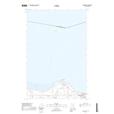 2020 Angeles Point2020 Print · USGSThe northern coast of the Olympic Peninsula is documented here just before the turn of the decade, where the Elwha River flows into the strait. Researchers can trace local landmarks like Ocean View Cem, the Lower Elwha settlement, and Freshwater Park.
 - 2020 Map of Morse Creek, 2020 Print
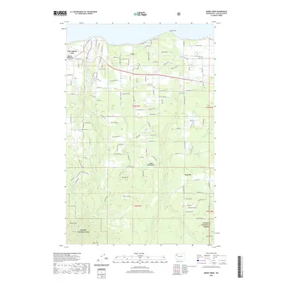 2020 Morse Creek2020 Print · USGSThe northern edge of the Olympic Peninsula comes into focus in this recent survey, showcasing the rural transition between the coast and the high mountains. Genealogists and locals can trace family names and roads near Crane, Little Oklahoma, and the heights of Maletti Hill.
 - 2020 Map of Joyce, 2020 Print
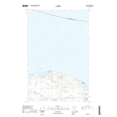 2020 Joyce2020 Print · USGSThe northern Olympic Peninsula coastline comes alive in this contemporary survey of the Clallam County shore. Genealogists and hikers can trace local routes through Joyce and Coville or locate coastal landmarks like Tongue Point and Striped Peak.
 - 2020 Map of Strait of Juan de Fuca (All Water), 2020 Print
 2020 Strait of Juan de Fuca (All Water)2020 Print · USGSThe open waters of the Salish Sea are the sole focus of this modern maritime survey just north of the Olympic Peninsula. Marine researchers and historians can use this specialized all-water sheet to establish a clear geographic baseline for the Strait of Juan de Fuca.
 - 2020 Map of Disque, 2020 Print
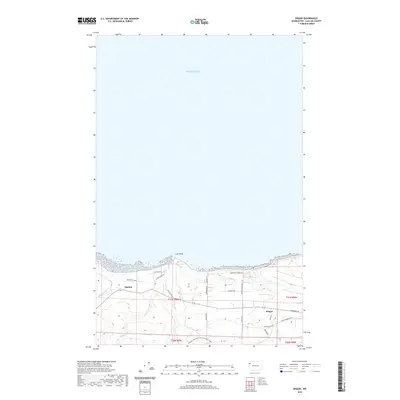 2020 Disque2020 Print · USGSThe northern coast of the Olympic Peninsula is documented here as it appeared in recent years, showing the interface between the wooded uplands and the Salish Sea. Researchers can trace the rural settlements of Disque and Shadow along with the winding path of the Olympic Discovery Trail Adventure Route.
 - 2020 Map of Port Angeles, 2020 Print
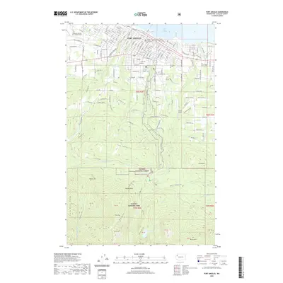 2020 Port Angeles2020 Print · USGSPort Angeles and its surrounding wilderness are captured here in the contemporary era, showing the transition from harbor city to high mountain peaks. Researchers can trace the layout of the city grid, locate the Clallam County Courthouse, and follow trails to Lake Angeles or Wildcat Mountain.
 - 2020 Map of Maiden Peak, 2020 Print
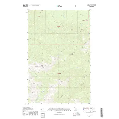 2020 Maiden Peak2020 Print · USGSOlympic National Park's high interior is documented in this recent survey, showcasing the high-altitude trails and basins of Clallam County. Hikers and researchers can trace the Obstruction Point-Deer Park Trail past Maiden Peak and into the water-rich Grand Valley.
 - 2020 Map of Ediz Hook, 2020 Print
 2020 Ediz Hook2020 Print · USGSPort Angeles and its protected harbor are shown here in 2020, highlighting the area's unique coastal geography and maritime infrastructure. Researchers can trace the curve of Ediz Hook to the Coast Guard Air Station or follow the path of the Port Angeles Ferry.
 - 2020 Map of La Push, 2020 Print
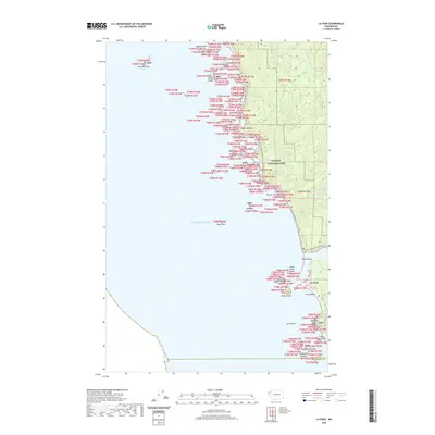 2020 La Push2020 Print · USGSCoastal Washington at the dawn of the 2020s shows the persistent bond between the sea and the community of La Push. Researchers can trace the winding Pacific NW National Scenic Trail past legendary offshore stacks like James Island and Cake Rock.
 - 2020 Map of Waadah Island, 2020 Print
 2020 Waadah Island2020 Print · USGSThe maritime border in the Salish Sea is clearly delineated in this recent survey of the waters off the Olympic Peninsula. Local historians and mariners can trace the specific shoreline of Waadah Island and the approach to Neah Bay.
 - 2020 Map of Dickey Lake, 2020 Print
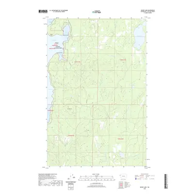 2020 Dickey Lake2020 Print · USGSThe Olympic Peninsula wilderness comes into focus in 2020, showing where Olympic National Park borders vast forest lands. Trace the shoreline from Preachers Point to Garden Island, or follow the intricate drainages of Dickey Lake and the West Fork Dickey River.
 - 2020 Map of Allens Bay, 2020 Print
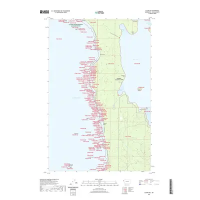 2020 Allens Bay2020 Print · USGSThe Olympic Peninsula's western coast comes into focus during the 2020s, showing the intersection of marine wilderness and protected parklands. Researchers can trace the Pacific NW National Scenic Trail and locate the Ozette Cem near the shores of Ozette Lake.
 - 2020 Map of Sekiu River, 2020 Print
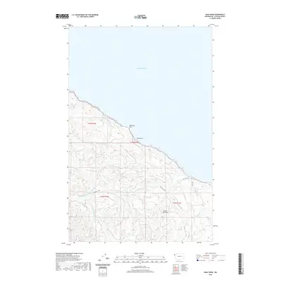 2020 Sekiu River2020 Print · USGSThe northwestern edge of the Olympic Peninsula meets the sea in this modern survey of Clallam County's timberlands and shoreline. Trace the winding paths of the Sekiu River and S Fork Sekiu River or locate coastal landmarks like Shipwreck Point.
 - 2020 Map of Mount Queets, 2020 Print
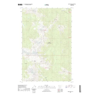 2020 Mount Queets2020 Print · USGSOlympic National Park's interior peaks and river headwaters are captured in this recent survey. Hikers and researchers can trace the high-country paths of the Dodger Point Primitive Trail and Elwha Basin Way Trail across the Bailey Range.
 - 2020 Map of Cape Flattery, 2020 Print
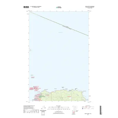 2020 Cape Flattery2020 Print · USGSThe northwesternmost point of the contiguous United States is documented here in the early twenty-first century. Maritime researchers and historians can trace the rugged coast from Tatoosh Island to Midway, locating landmarks like Fuca Pillar and Duncan Rock.
 - 2020 Map of Neah Bay, 2020 Print
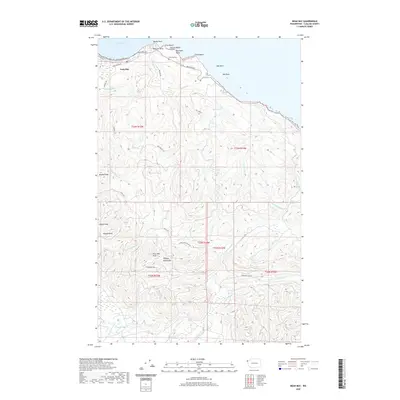 2020 Neah Bay2020 Print · USGSThe northwestern tip of Washington comes alive in this contemporary survey of the Makah coastline. Researchers can trace the layout of Neah Bay and locate landmarks like the Neah Bay Cem or the rugged peaks of Makah Peaks and Cheeka Peak.
 - 2020 Map of Hurricane Hill, 2020 Print
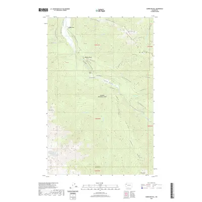 2020 Hurricane Hill2020 Print · USGSOlympic National Park in the 2020s remains a landscape of deep canyons and high alpine ridges. Hikers and researchers can trace the intricate connections between the Elwha River backcountry and summits like Hurricane Hill and Lost Cabin Mtn.
 - 2020 Map of Mount Deception, 2020 Print
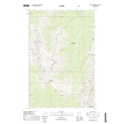 2020 Mount Deception2020 Print · USGSThe high Olympic wilderness of Clallam and Jefferson counties is presented here in the modern era. You can trace the rugged corridor of the Pacific NW National Scenic Trail as it passes between peaks like Mount Deception, Mount Constance, and Mount Mystery.
 - 2020 Map of Mount Carrie, 2020 Print
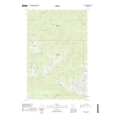 2020 Mount Carrie2020 Print · USGSThe high interior of the Olympic Peninsula is shown in detail during the early twenty-first century. Researchers and hikers can trace the Pacific NW National Scenic Trail as it passes Olympic Hot Springs, Appleton Pass, and the waters of Boulder Lake.
Showing maps 1-25 of 118
Top cities of Clallam County
- Port Angeles historical maps
- Sequim historical maps
- Forks historical maps
- Neah Bay historical maps
- Clallam Bay historical maps
- Blyn historical maps
See more
Frequently asked questions
- What are the different types of historical maps available for Clallam County?
- What is the oldest map of Clallam County?
- Where can I purchase historical maps of Clallam County for my home or office?
- Where can I download high-res historical maps of Clallam County?
- Are there historical topographic maps available for Clallam County?
- Is there historical aerial imagery available for Clallam County?
- Where are historical maps of Clallam County sourced from?