2010s Maps of Columbia County, Washington
Explore 81 historic maps of Columbia County from the 2010s. These maps offer a rare glimpse into what life looked like during the 2010s — showing old roads, neighborhoods, homes, and landmarks that have changed or disappeared over time.
Whether you're researching your family's past, planning a metal detecting trip, or studying how Columbia County's landscape evolved across the 2010s, these high-resolution maps are a powerful tool for exploring the history of this region.
- Focus on a specific era: All maps on this page are from the 2010s, giving you a focused view of this time period.
- See what’s changed: Compare century-old streets, trails, and buildings to today's modern landscape using overlays and satellite layers.
- Research with precision: Use these maps for genealogy, historical research, land use analysis, or educational projects.
- View, download, or print: Maps are fully viewable online in high resolution, and can be downloaded or printed for your own records.
Start exploring Columbia County's history through authentic maps from the 2010s. This is your window into the past.
Columbia County, WA maps
(81)- 2011 Map of Coppei, 2011 Print
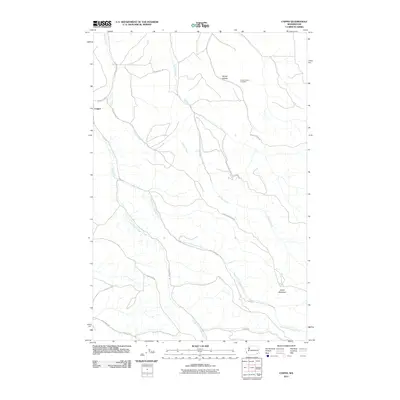 2011 Coppei2011 Print · USGSWalla Walla County's rural creek valleys are captured here in the early twenty-first century, showing the enduring agricultural and transport patterns of the region. Researchers can locate family landmarks such as the Bundy Hollow Cemetery or trace the winding courses of Whisky Creek and Coppei Creek.
 - 2011 Map of Waitsburg NW, 2011 Print
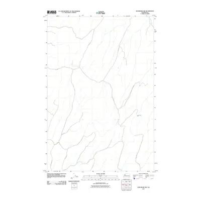 2011 Waitsburg NW2011 Print · USGSWalla Walla County's high hills and deep draws are mapped here in the early twenty-first century, showing the enduring rural layout of eastern Washington. Genealogists can trace family-named routes like Barger Rd, Powers Rd, and the location of Lost Springs Ranch.
 - 2011 Map of Huntsville, 2011 Print
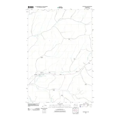 2011 Huntsville2011 Print · USGSThe Touchet River valley in Columbia County is shown here during a period of modern agricultural and industrial use. Genealogists and local historians can locate Pioneer Cemetery and industrial sites like the Dayton Lumber Company Mill Dam near Huntsville.
 - 2011 Map of Kellogg Creek, 2011 Print
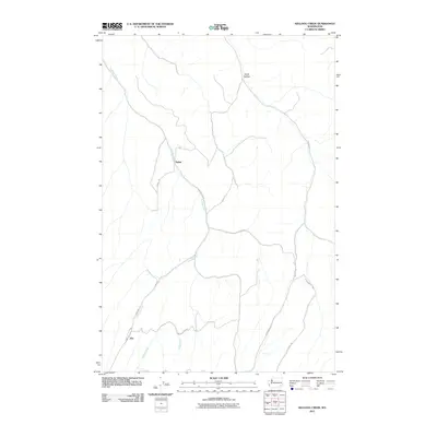 2011 Kellogg Creek2011 Print · USGSSoutheastern Washington's high plateau country is captured here in the early twenty-first century, showing the enduring agricultural layout of the region. Researchers can trace rural settlements at Alto and Relief and the routes through Smith Hollow and Kellogg Creek.
 - 2011 Map of Starbuck West, 2011 Print
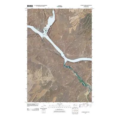 2011 Starbuck West2011 Print · USGSSoutheast Washington’s river landscape is documented here in the early twenty-first century as the Tucannon and Palouse meet the Snake. Researchers can trace the townsite of Starbuck, family landmarks like Tucker Farm, and the archaeological site at Marmes Rock Shelter.
 - 2011 Map of Waitsburg, 2011 Print
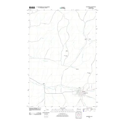 2011 Waitsburg2011 Print · USGSWaitsburg and the surrounding Walla Walla County countryside are shown in detail during the early 2000s. Researchers can locate family landmarks at the Independent Order of Odd Fellows Cemetery or trace old routes through Bolles and Whoopemup Hollow.
 - 2011 Map of Starbuck East, 2011 Print
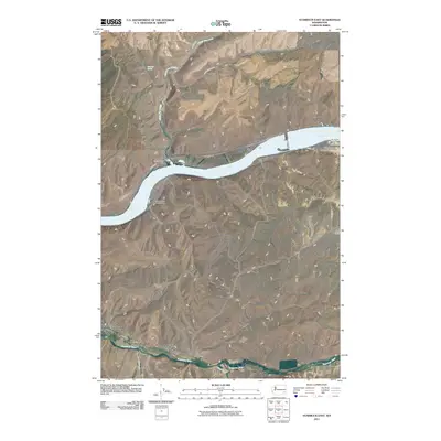 2011 Starbuck East2011 Print · USGSStarbuck and the Snake River canyons are captured here in the early twenty-first century as centers of transport and ranching. Researchers can trace land holdings at Trudgeon Ranch, river access at Riparia, and the course of the Tucannon River.
 - 2011 Map of Tucannon, 2011 Print
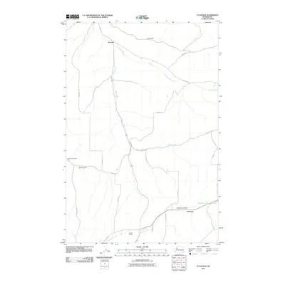 2011 Tucannon2011 Print · USGSColumbia County’s rural wheat and canyon country is captured here during the early twenty-first century. Researchers can trace the path of the Tucannon River or locate community landmarks like Harmony Community Hall and the Dayton Airport.
 - 2011 Map of Dayton, 2011 Print
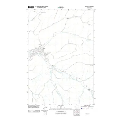 2011 Dayton2011 Print · USGSDayton and the surrounding valleys of Columbia County are shown here in the early twenty-first century as the region maintains its agricultural and river-centered character. Genealogists and historians can trace local landmarks like the Dayton and Columbia County Fairgrounds and the outlying settlement of Baileysburg.
 - 2011 Map of Dodge, 2011 Print
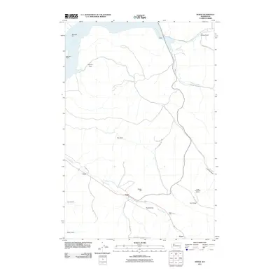 2011 Dodge2011 Print · USGSGarfield County’s agricultural and river-port landscape comes into focus during this early twenty-first-century survey. Genealogists and local historians can trace family land around Dodge, the Pataha Valley Grange, and riverfront sites like the Port of Garfield.
 - 2011 Map of Robinette Mountain, 2011 Print
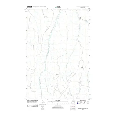 2011 Robinette Mountain2011 Print · USGSWalla Walla County is defined by its deep canyons and high ridges during this early 21st-century survey. Researchers can trace remote locales like Mountain Home Park or the rugged paths along South Fork Touchet River and Green Fly Canyon.
 - 2011 Map of Turner, 2011 Print
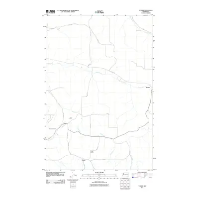 2011 Turner2011 Print · USGSColumbia County agriculture and small-town life are preserved in this early twenty-first-century record of the rural Inland Northwest. Genealogists can locate family sites near the Turner Cemetery, Covello Cemetery, and the riverside community of Marengo.
 - 2011 Map of Zumwalt, 2011 Print
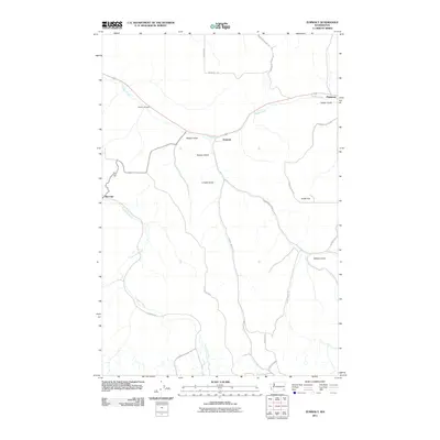 2011 Zumwalt2011 Print · USGSGarfield County's agricultural heartland is documented in this 2011 survey, showing the deep gulches and river valleys as they were at the start of the new millennium. Researchers can locate the Owsley Cemetery and trace the paths between settlements like Zumwalt and Marengo.
 - 2011 Map of Hopkins Ridge, 2011 Print
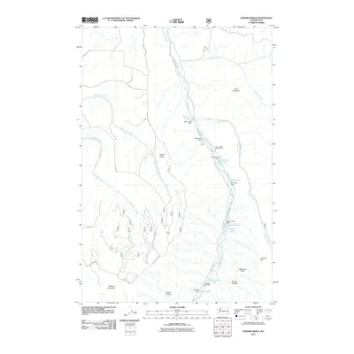 2011 Hopkins Ridge2011 Print · USGSThe Tucannon River valley is shown here in the early twenty-first century, dominated by a unique chain of managed lakes and fisheries. Researchers can trace the water systems and mountain roads connecting Wooten State Fish Hatchery, Hopkins Ridge, and Watson Lake.
 - 2011 Map of Stentz Spring, 2011 Print
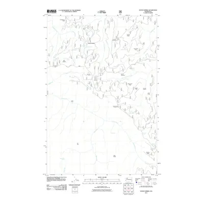 2011 Stentz Spring2011 Print · USGSGarfield County's high ridges and spring-fed canyons are captured here in the decade before 2011. Trace the networks of the Tucannon River and Pataha Creek past landmarks like Clearwater Lookout and historic sites such as Powell Camp.
 - 2011 Map of Cahill Mountain, 2011 Print
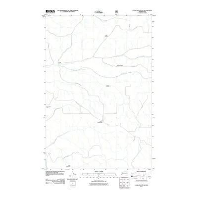 2011 Cahill Mountain2011 Print · USGSColumbia County’s rugged foothill country comes into focus in this recent survey of the lands surrounding Patit. Researchers can trace the high-elevation paths of Kendall Skyline Rd and locate landmarks like the Thorn Lookout Tower and Pioneer Memorial Park.
 - 2011 Map of Oregon Butte, 2011 Print
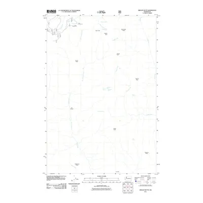 2011 Oregon Butte2011 Print · USGSThe high ridges of Columbia County are captured here in the early twenty-first century, showcasing a landscape of peaks and springs. Outdoorsmen and researchers can trace the drainages of Panjab Creek or locate the Teepee Campground and the summit of Oregon Butte.
 - 2011 Map of Panjab Creek, 2011 Print
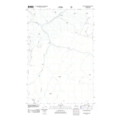 2011 Panjab Creek2011 Print · USGSColumbia County’s high country is documented here just after the first decade of the millennium, showing a landscape of deep canyons and spring-fed ridges. Researchers can locate remote sites like Indian Corral, the Panjab Trailhead, and Willow Spring.
 - 2011 Map of Diamond Peak, 2011 Print
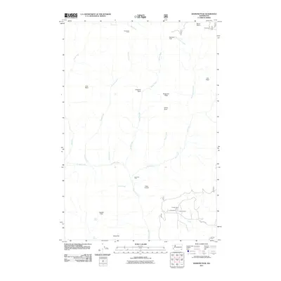 2011 Diamond Peak2011 Print · USGSGarfield County ranching and high-country landmarks are documented in this early twenty-first-century survey of the Blue Mountains region. Researchers can locate specific family holdings such as the J R Evans Ranch or trace trails past First Creek Cabin and Kelly Camp.
 - 2011 Map of Rose Springs, 2011 Print
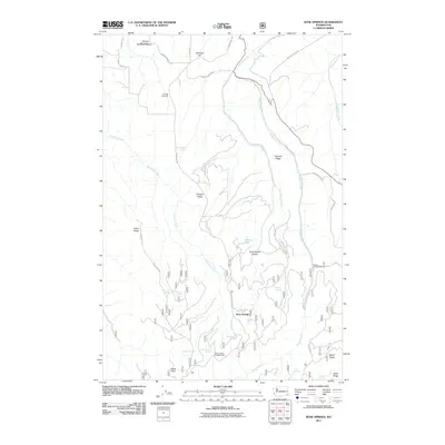 2011 Rose Springs2011 Print · USGSGarfield County’s high ridge country comes into focus in this modern era survey of the mountain territory surrounding Rose Springs. Trace the network of historic water sources like Lanzie Spring and Government Spring or find early forest sites at Sawmill Spring.
 - 2011 Map of Eckler Mountain, 2011 Print
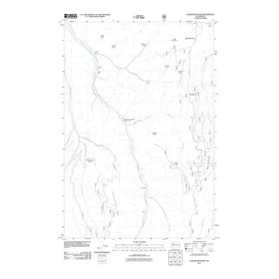 2011 Eckler Mountain2011 Print · USGSColumbia County’s rugged ranching and timber lands are captured here in the early twenty-first century. Genealogists and local historians can trace legacy properties like the L Greiner Ranch and C Hunt Ranch or locate backcountry landmarks such as Camp Mead and Hompegg Falls.
 - 2011 Map of Delaney, 2011 Print
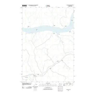 2011 Delaney2011 Print · USGSColumbia County in the early twenty-first century reveals a landscape defined by the Snake River and the quiet agricultural valley of Delaney. Researchers can trace old family holdings near River Ranch or follow the path of Pataha Creek through Jackson.
 - 2011 Map of Eden Ridge, 2011 Print
 2011 Eden Ridge2011 Print · USGSWallowa County’s high plateaus and river canyons are detailed here as they appeared in the early twenty-first century. Researchers can locate the Eden Community Hall and Eden Cemetery, or trace access to remote sites like Hoodoo Lookout Tower and Cecil Bott Ranch.
 - 2011 Map of Elbow Creek, 2011 Print
 2011 Elbow Creek2011 Print · USGSWallowa County's high ridges and river canyons are documented here in the early twenty-first century. Researchers can trace the network of mountain springs and remote landmarks like Squaw Falls, Hoodoo Ridge, and Big Hole Canyon.
 - 2011 Map of Deadman Peak, 2011 Print
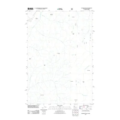 2011 Deadman Peak2011 Print · USGSThe high ridges and river headwaters of the Blue Mountains are captured here in the early twenty-first century. Researchers can locate remote landmarks like Deadman Peak, Table Rock, and the seasonal waters of Switchback Spring and Milk Shakes.
Showing maps 1-25 of 81
Top cities of Columbia County
Frequently asked questions
- What are the different types of historical maps available for Columbia County?
- What is the oldest map of Columbia County?
- Where can I purchase historical maps of Columbia County for my home or office?
- Where can I download high-res historical maps of Columbia County?
- Are there historical topographic maps available for Columbia County?
- Is there historical aerial imagery available for Columbia County?
- Where are historical maps of Columbia County sourced from?