2010s Maps of Franklin County, Washington
Explore 117 historic maps of Franklin County from the 2010s. These maps offer a rare glimpse into what life looked like during the 2010s — showing old roads, neighborhoods, homes, and landmarks that have changed or disappeared over time.
Whether you're researching your family's past, planning a metal detecting trip, or studying how Franklin County's landscape evolved across the 2010s, these high-resolution maps are a powerful tool for exploring the history of this region.
- Focus on a specific era: All maps on this page are from the 2010s, giving you a focused view of this time period.
- See what’s changed: Compare century-old streets, trails, and buildings to today's modern landscape using overlays and satellite layers.
- Research with precision: Use these maps for genealogy, historical research, land use analysis, or educational projects.
- View, download, or print: Maps are fully viewable online in high resolution, and can be downloaded or printed for your own records.
Start exploring Franklin County's history through authentic maps from the 2010s. This is your window into the past.
Franklin County, WA maps
(117)- 2011 Map of Kahlotus, 2011 Print
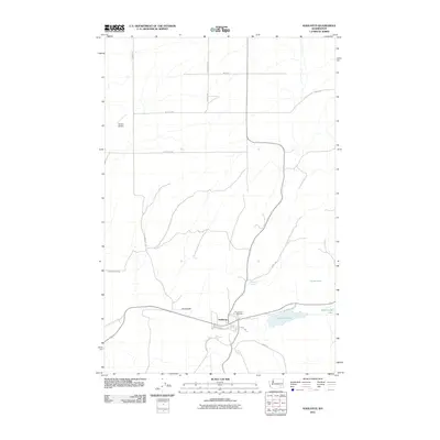 2011 Kahlotus2011 Print · USGSKahlotus and its surrounding coulee lakes are documented here during the early twenty-first century. Researchers can trace local landmarks like Lakeview Cemetery, aviation sites such as Peot Airport, and the road network including Pasco Kahlotus Rd.
 - 2011 Map of Connell SE, 2011 Print
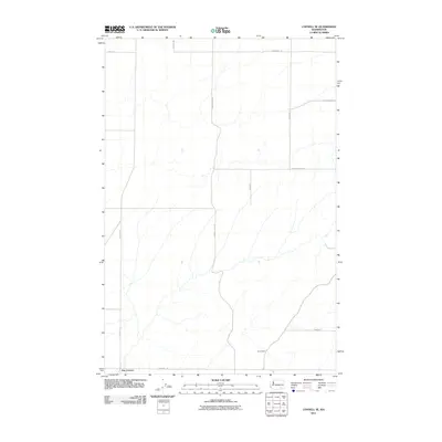 2011 Connell SE2011 Print · USGSFranklin County's rural agricultural heart is captured here in the early 2000s, showing the precise layout of high-desert farm roads and small settlements. Trace the local geography through family-named landmarks like Bauermeister Rd and the crossroads at Five Corners.
 - 2011 Map of Levey NE, 2011 Print
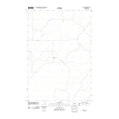 2011 Levey NE2011 Print · USGSFranklin County's high plateau terrain is captured here in the early twenty-first century, showing a remote landscape of ranching and agriculture. Researchers can trace rural property access and named geographic features like Rye Grass Flat, Rybzinski Rd, and Snake River Rd.
 - 2011 Map of Monumental Rock, 2011 Print
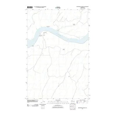 2011 Monumental Rock2011 Print · USGSWalla Walla County's riverfront and plateau lands are captured here in the early twenty-first century along the Snake River. Researchers can trace rural property footprints at Magallon Ranch and Hair Farm or locate landmarks like Monumental Rock.
 - 2011 Map of Ayer, 2011 Print
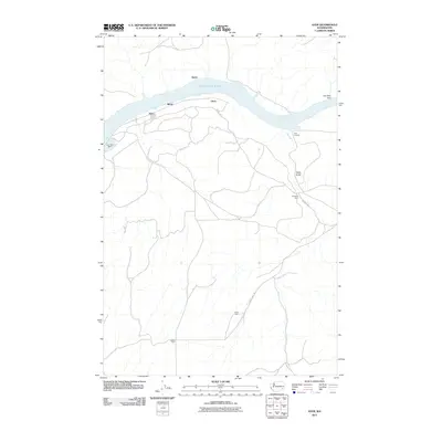 2011 Ayer2011 Print · USGSWalla Walla County's riverfront and agricultural uplands are captured here in the decade following the millennium. Genealogists and local historians can trace family landholdings like Baker Farm and De Ruwe Farm near the shores of Lake Herbert G West.
 - 2011 Map of Levey, 2011 Print
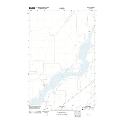 2011 Levey2011 Print · USGSThe banks of Lake Sacajawea and the plateau heights of Franklin County are captured here in the early twenty-first century. Researchers can trace rural settlements like Redd, Levey, and Ash alongside arterial routes such as Page Rd.
 - 2011 Map of Connell, 2011 Print
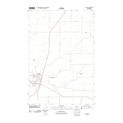 2011 Connell2011 Print · USGSFranklin County's high-desert landscape is documented here in the early twenty-first century, centered on the growing grid of Connell. Genealogists and local historians can trace the rural development around Emery, Curry, and the expansive Providence Coulee.
 - 2011 Map of Humorist, 2011 Print
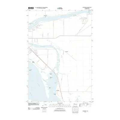 2011 Humorist2011 Print · USGSThe confluence of the Snake and Columbia Rivers is captured here in the early twenty-first century, showing a landscape defined by massive water projects and river transit. You can trace the development of small settlements like Martindale and Humorist, or locate landmarks such as the Ice Harbor Lock and Dam and Villard Junction.
 - 2011 Map of Burr Canyon, 2011 Print
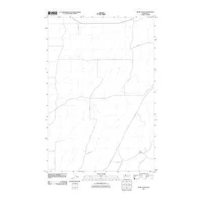 2011 Burr Canyon2011 Print · USGSFranklin County's high desert landscape is documented here in the early twenty-first century as agricultural roads connect the vast dryland reaches. Genealogists and local historians can trace family landholdings along Reynolds Rd, Essenprise Rd, and the namesake Burr Canyon.
 - 2011 Map of Levey SW, 2011 Print
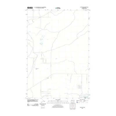 2011 Levey SW2011 Print · USGSFranklin County's agricultural landscape and the Snake River corridor are captured here in the early twenty-first century. Researchers can trace rural property access and regional infrastructure like the Ice Harbor Lock and Dam, Lake Sacajawea, and Carr Airport.
 - 2011 Map of Mesa East, 2011 Print
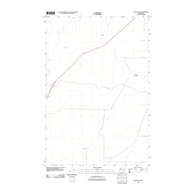 2011 Mesa East2011 Print · USGSFranklin County in the early twenty-first century reveals a highly organized agricultural landscape punctuated by family-named routes and coulees. Researchers can trace land divisions and local history through features like Cactus, Dunnigan Coulee, and Statsney Rd.
 - 2011 Map of Page, 2011 Print
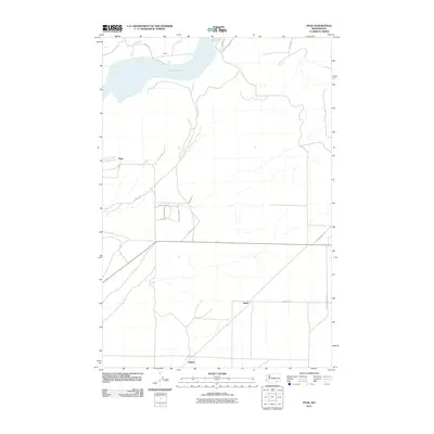 2011 Page2011 Print · USGSWalla Walla County in the early twenty-first century shows a landscape shaped by the Snake River and rural expansion. Trace the settlement patterns around Lake Sacajawea and the crossroads at Hatch and Adkins.
 - 2011 Map of Rye Grass Coulee, 2011 Print
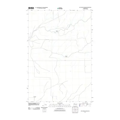 2011 Rye Grass Coulee2011 Print · USGSFranklin County's agricultural landscape is documented here in the early twenty-first century, showing the intersection of natural coulees and rural infrastructure. Researchers can trace land use through features like Columbia Ag 2 Airport and family-named routes such as Statsney Rd and Blackman Ridge Rd.
 - 2011 Map of Lower Monumental Dam, 2011 Print
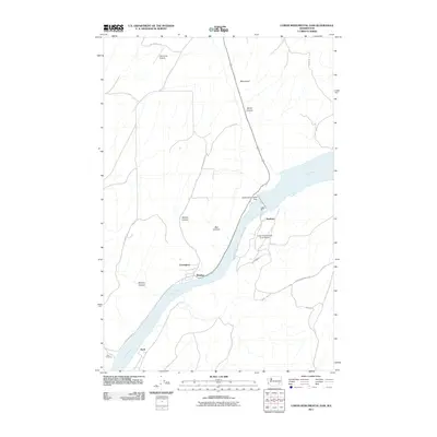 2011 Lower Monumental Dam2011 Print · USGSThe Snake River canyon near Windust is seen here just after the first decade of the new millennium. Researchers can trace the riverbank rail routes and infrastructure around Lower Monumental Dam, Lower Monumental State Airport, and the settlement of Farrington.
 - 2011 Map of Frischknecht, 2011 Print
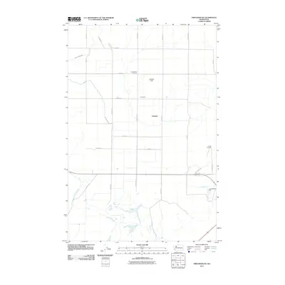 2011 Frischknecht2011 Print · USGSThe high plateau of Franklin County appears here during the early twenty-first century as a complex grid of irrigation and agriculture. Genealogists and local historians can pinpoint Paradise Flats Cemetery, Frischknecht, and T Lake among a dense network of farm-to-market roads.
 - 2011 Map of Washtucna South, 2011 Print
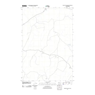 2011 Washtucna South2011 Print · USGSEastern Washington's ranching country is captured here during the early twenty-first century. Genealogists and local historians can trace the footprints of established holdings like H U Ranch and Davin Ranch near the waters of Deep Lake.
 - 2011 Map of Elwood, 2011 Print
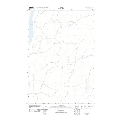 2011 Elwood2011 Print · USGSElwood and the surrounding Walla Walla County uplands are captured here in the early twenty-first century. Researchers can trace the rural road network and family-named routes like Wooden Rd and Harsell Rd near the waters of Lake Sacajawea.
 - 2011 Map of Palouse Falls, 2011 Print
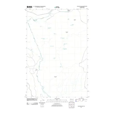 2011 Palouse Falls2011 Print · USGSFranklin County at the dawn of the 2010s reveals a landscape of deep canyons and seasonal pothole lakes shaped by the Palouse River. Genealogists and local historians can trace family-named landmarks like Gildersleeve Spring, McGregor Lakes, and the transit point at Hooper Junction.
 - 2011 Map of Sperry, 2011 Print
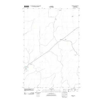 2011 Sperry2011 Print · USGSThe rural agricultural landscapes of Franklin County are shown here in the early twenty-first century. Genealogists and local historians can trace family-named sites such as Ross Farm and Harder Ranch alongside the rail junctions at McAdam and Wacota.
 - 2011 Map of Sulphur Lake, 2011 Print
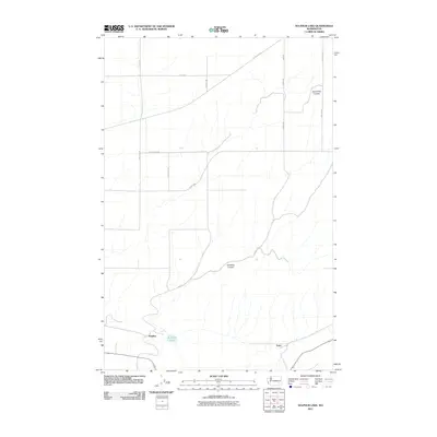 2011 Sulphur Lake2011 Print · USGSFranklin County's rural landscape is captured here in the early twenty-first century, showing the relationship between small settlements and geological coulees. You can trace the local road network connecting Sulphur and Estes near the waters of Sulphur Lake.
 - 2011 Map of Snake River, 2011 Print
 2011 Snake River2011 Print · USGSThe Snake River corridor in Franklin County is captured here in the early twenty-first century as it winds through a landscape of deep canyons and plateau settlements. Genealogists and local historians can trace rural networks around Burr, Sheffler, and the rails at Snake River Junction.
 - 2011 Map of Starbuck West, 2011 Print
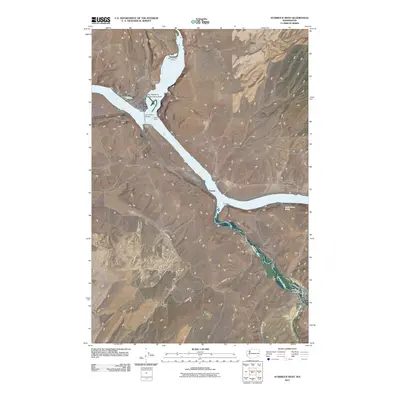 2011 Starbuck West2011 Print · USGSSoutheast Washington’s river landscape is documented here in the early twenty-first century as the Tucannon and Palouse meet the Snake. Researchers can trace the townsite of Starbuck, family landmarks like Tucker Farm, and the archaeological site at Marmes Rock Shelter.
 - 2011 Map of Slater, 2011 Print
 2011 Slater2011 Print · USGSWalla Walla County's rural interior is documented here during the early 2010s, showing the settled landscape near the Snake River. Researchers can trace the layout of Slater and Le Grow alongside regional routes like Adkins Rd and Dodd Rd.
 - 2011 Map of Eagle Lakes, 2011 Print
 2011 Eagle Lakes2011 Print · USGSFranklin County irrigation and rural ranching are on full display in this modern survey of the Columbia Basin. Researchers can trace the massive Wahluke Branch Canal and identify local landmarks like Sagehill and the Bailie Memorial Boys Ranch.
 - 2011 Map of Richland, 2011 Print
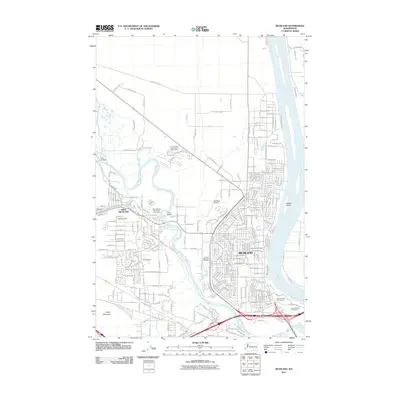 2011 Richland2011 Print · USGSRichland and its western neighbor grew rapidly along the banks of the Columbia and Yakima Rivers in the early twenty-first century. Genealogists and local historians can trace modern development around Resthaven Cemetery, the Richland Airport, and Fox Island.
Showing maps 1-25 of 117
Top cities of Franklin County
- Pasco historical maps
- Connell historical maps
- Basin City historical maps
- Mesa historical maps
- Kahlotus historical maps
Frequently asked questions
- What are the different types of historical maps available for Franklin County?
- What is the oldest map of Franklin County?
- Where can I purchase historical maps of Franklin County for my home or office?
- Where can I download high-res historical maps of Franklin County?
- Are there historical topographic maps available for Franklin County?
- Is there historical aerial imagery available for Franklin County?
- Where are historical maps of Franklin County sourced from?