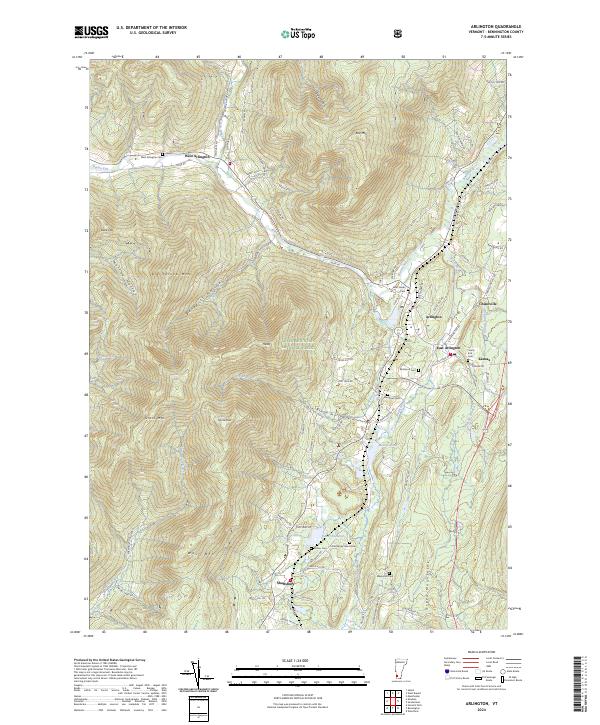
2024 Map of Arlington
USGS Topo · Published 2024About this map
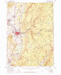
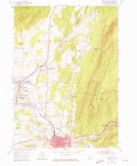
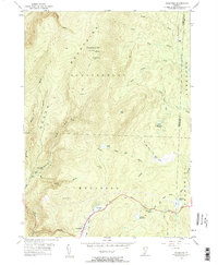
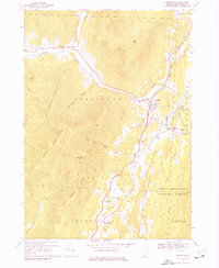
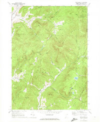
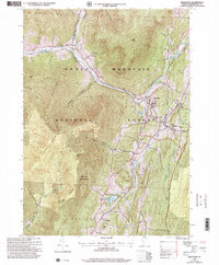
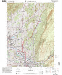
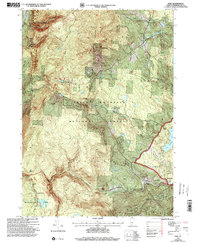
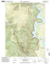
Arlington and its neighboring villages of East Arlington, West Arlington, and Chiselville sit at the confluence of Vermont’s high peaks and the Batten Kill river valley. This modern survey illustrates a landscape where settlement remains closely tied to the water and topography, with roads like River Rd and Sandgate Rd following the natural contours of the valley floor. The eastern portion of the map is dominated by the Green Mountain National Forest, rising sharply toward Big Spruce Mtn, Spruce Peak, and Red Mtn.
Find a feature on this map
88 named features on this map. Tap any name to fly to it.
Don’t see what you’re looking for? This feature index may not catch every label — zoom into the map to look around manually.
Map Details
Editions of this 2024 Arlington Map
This is the sole edition of this map. No revisions or reprints were ever made.
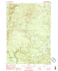
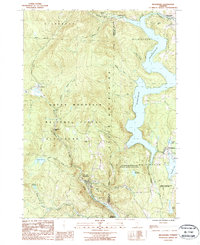
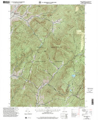
Historical Maps of Manchester Through Time
29 maps found
1894 Equinox
Bennington County, VT

1896 Equinox
Bennington County, VT
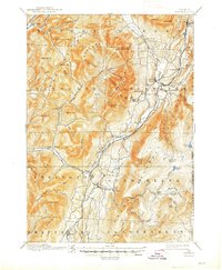
1898 Bennington
Bennington County, VT
1900 Equinox
Bennington County, VT
1954 Bennington
Bennington County, VT
1954 Bennington
Bennington County, VT
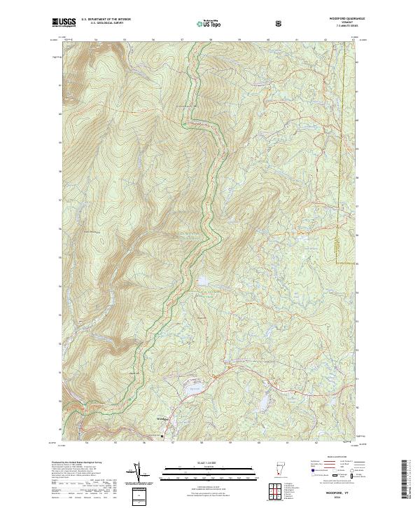
1954 Woodford
Bennington County, VT
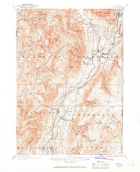
1967 Arlington
Bennington County, VT
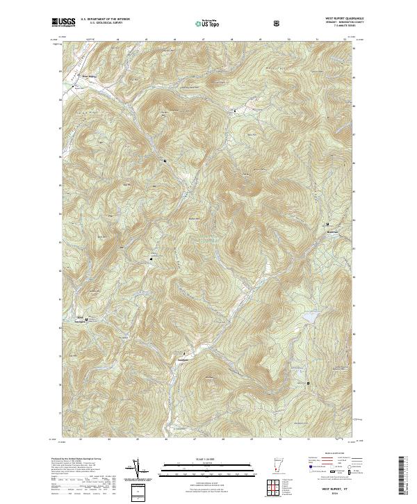
1967 West Rupert
Bennington County, VT

1968 Manchester
Bennington County, VT

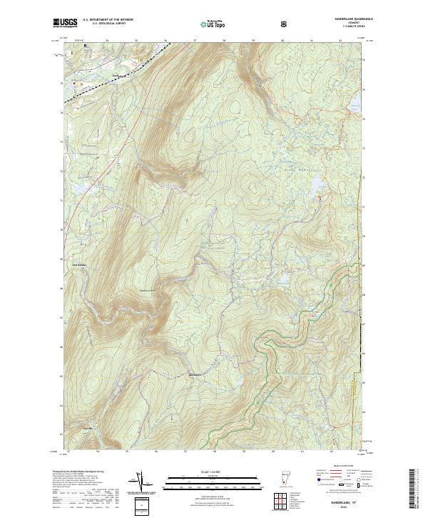
1968 Sunderland
Bennington County, VT
1986 Peru
Bennington County, VT
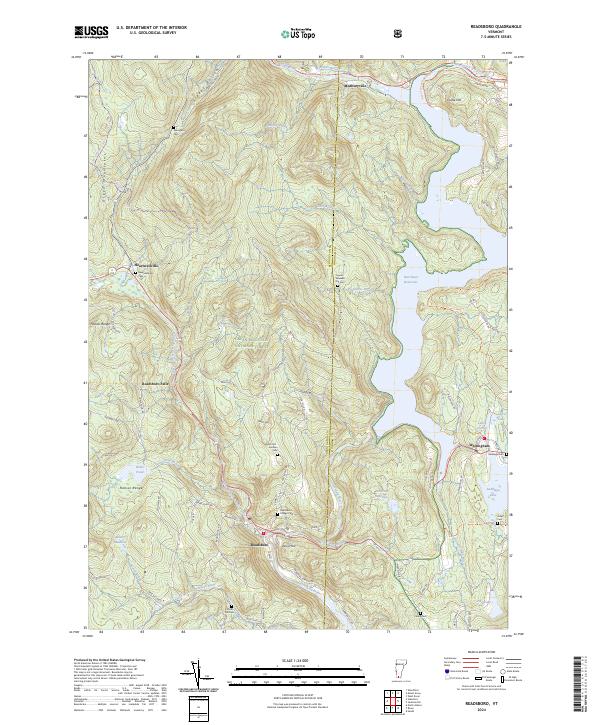
1987 Readsboro
Bennington County, VT
1995 West Rupert
Bennington County, VT
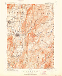
1997 Arlington
Bennington County, VT
1997 Bennington
Bennington County, VT

1997 Manchester
Bennington County, VT
1997 Peru
Bennington County, VT
1997 Readsboro
Bennington County, VT

1997 Sunderland
Bennington County, VT
1997 Woodford
Bennington County, VT
2024 Arlington
Bennington County, VT
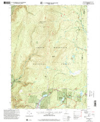
2024 Bennington
Bennington County, VT
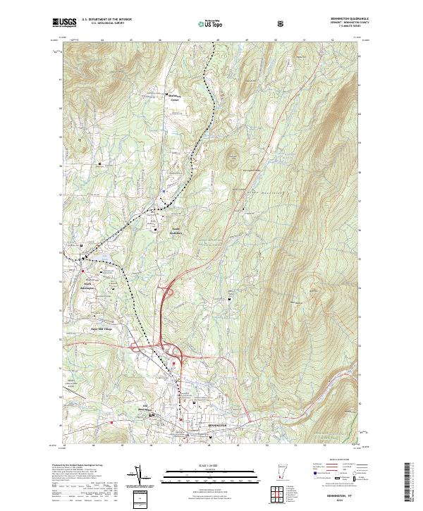
2024 Manchester
Bennington County, VT
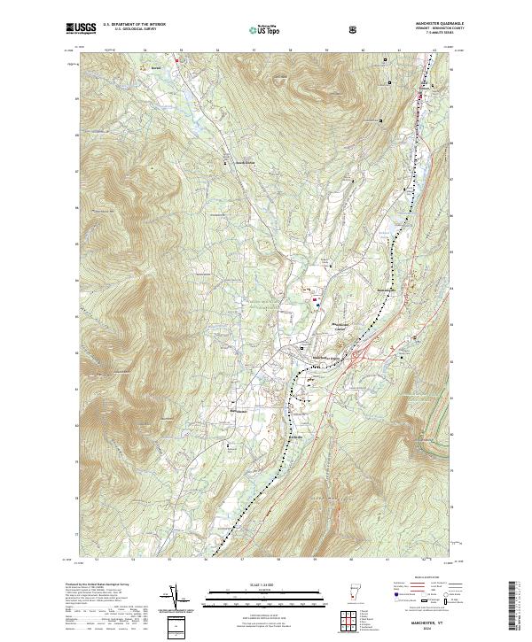
2024 Peru
Bennington County, VT
2024 Readsboro
Bennington County, VT
2024 Sunderland
Bennington County, VT
2024 West Rupert
Bennington County, VT
2024 Woodford
Bennington County, VT