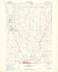
1961 Map of Ashland North
USGS Topo · Published 1963About this map
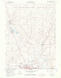
The Erie-Lackawanna railroad cuts a diagonal path across this northern Ohio landscape, connecting the industrial center of Ashland with the smaller settlements of Nankin and Savannah. The transition from the Western Reserve in the north to the Congress Lands in the south is marked by a shift in surveying patterns, visible in the alignment of rural roads and property lines. Water dominates the western reach of the map, where the Vermilion River flows near Savannah Lakes, Mud Lake, and Spring Lake. Local genealogy is well-preserved through numerous family-named landmarks such as Heiffner Cem, Rickert Cem, and the Ford Cem. The northern outskirts of Ashland show early 1960s infrastructure including the Ashland Municipal Airport and the Ashland Reservoir. Agricultural and extractive industries are evidenced by several gas wells and sand and gravel pits scattered throughout the rural townships.
Find a feature on this map
48 named features on this map. Tap any name to fly to it.
Don’t see what you’re looking for? This feature index may not catch every label — zoom into the map to look around manually.
Map Details
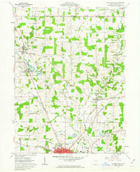
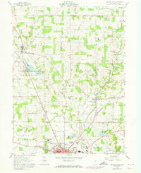
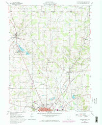
Editions of this 1961 Ashland North Map
5 editions found
Other maps of this area

1904 · Wellington
USGS Topo · 1:62,500

1906 · Wellington
USGS Topo · 1:62,500

1906 · West Salem
USGS Topo · 1:62,500

1908 · Ashland
USGS Topo · 1:62,500

1908 · West Salem
USGS Topo · 1:62,500

1908 · New London
USGS Topo · 1:62,500

1950 · Marion
USGS Topo · 1:250,000

1956 · Toledo
USGS Topo · 1:250,000

1960 · New London
USGS Topo · 1:24,000

1960 · Nova
USGS Topo · 1:24,000