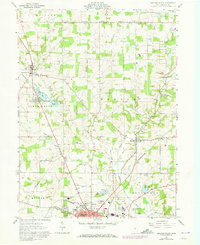
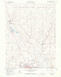
1961 Map of Ashland North
USGS Topo · Published 1973About this map
The city of Ashland serves as the focal point of this 1961 survey, showing the northward expansion of the town toward the Ashland County Airport. The landscape is a study in early 19th-century land divisions, clearly marking the boundary between the Connecticut Western Reserve Lands and the Congress Lands. A legacy of early milling and water power is evident along Leidigh Mill Creek and Jerome Fork, while the Erie-Lackawanna Railroad corridor illustrates the vital transit links that sustained local industry.
Find a feature on this map
54 named features on this map. Tap any name to fly to it.
Don’t see what you’re looking for? This feature index may not catch every label — zoom into the map to look around manually.
Map Details
Editions of this 1961 Ashland North Map
5 editions found
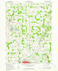
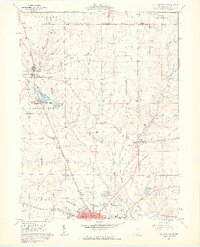
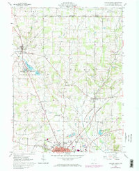
Other maps of this area

1904 · Wellington
USGS Topo · 1:62,500

1906 · Wellington
USGS Topo · 1:62,500

1906 · West Salem
USGS Topo · 1:62,500

1908 · Ashland
USGS Topo · 1:62,500

1908 · West Salem
USGS Topo · 1:62,500

1908 · New London
USGS Topo · 1:62,500

1950 · Marion
USGS Topo · 1:250,000

1956 · Toledo
USGS Topo · 1:250,000

1960 · New London
USGS Topo · 1:24,000

1960 · Nova
USGS Topo · 1:24,000