
1953 Map of Attu
USGS Topo · Published 1959About this map
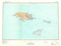
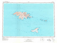
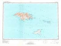
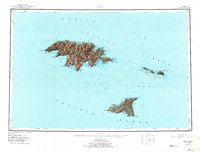
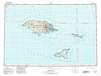
Attu Island and its neighbors in the Near Islands group appear here as surveyed in the decade following the World War II Aleutian Islands campaign. This document, compiled from earlier Army Map Service studies, provides a detailed record of the island's coastline from the westernmost Cape Wrangell to the eastern Chirikof Point. The island's geography is defined by the sharp peaks of the Wrangell Range and notable summits like Attu Mountain and Snowy Peak.
Find a feature on this map
43 named features on this map. Tap any name to fly to it.
Don’t see what you’re looking for? This feature index may not catch every label — zoom into the map to look around manually.
Map Details
Editions of this 1953 Attu Map
6 editions found
Other maps of this area

1952 · Attu
USGS Topo · 1:250,000
2021 · Attu C-5 SE
USGS Topo · 1:25,000
2021 · Attu C-4 SE
USGS Topo · 1:25,000
2021 · Attu C-5 NW
USGS Topo · 1:25,000
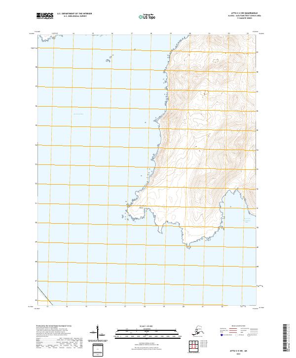
2021 · Attu C-4 SW
USGS Topo · 1:25,000
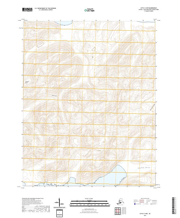
2021 · Attu C-4 NW
USGS Topo · 1:25,000
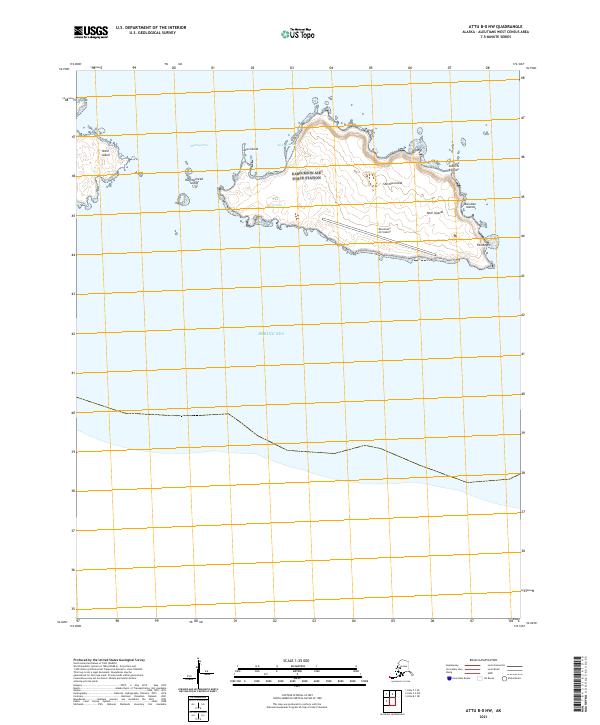
2021 · Attu B-0 NW
USGS Topo · 1:25,000
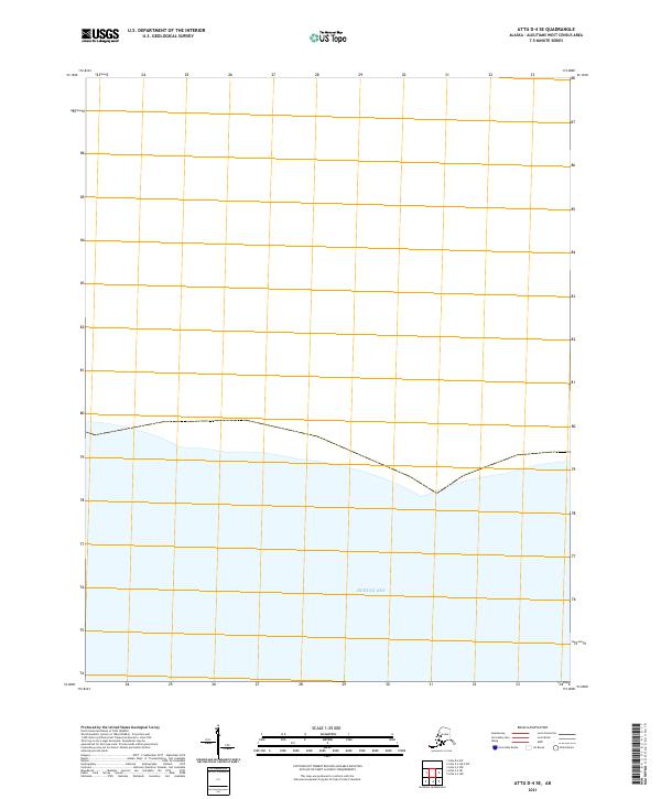
2021 · Attu D-4 SE
USGS Topo · 1:25,000
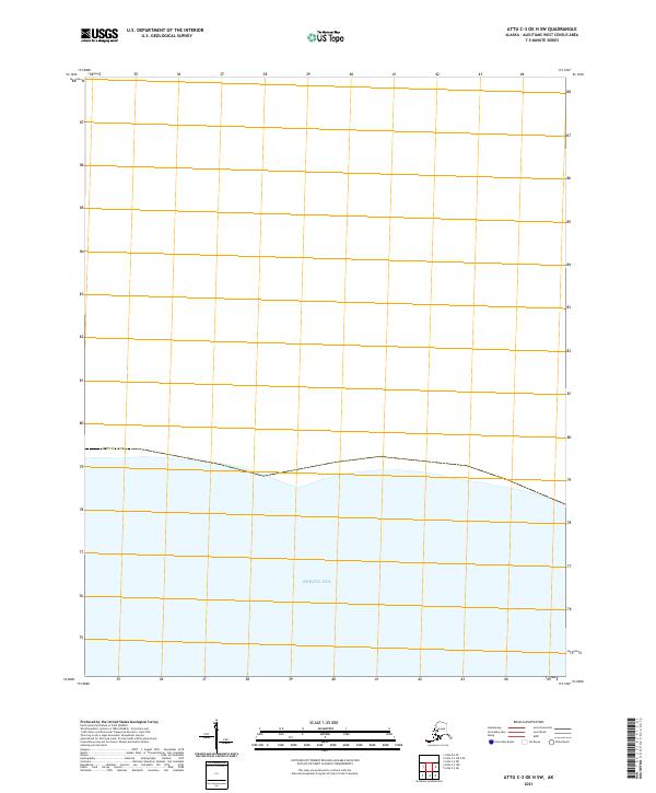
2021 · Attu C-3 OE N SW
USGS Topo · 1:25,000
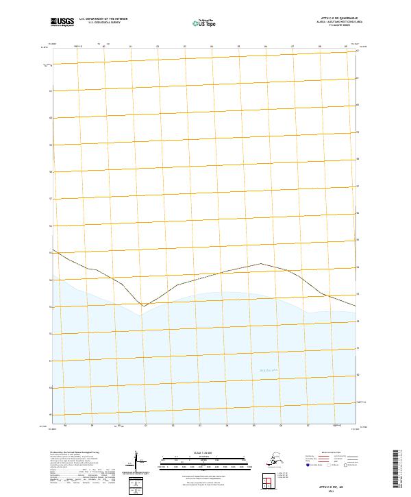
2021 · Attu C-0 SW
USGS Topo · 1:25,000