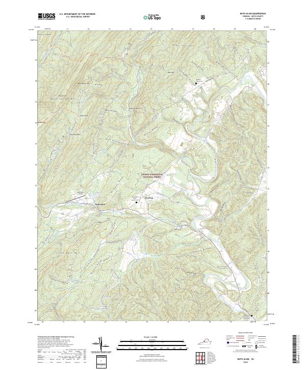
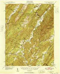
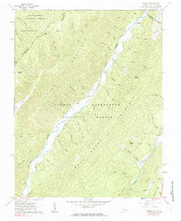
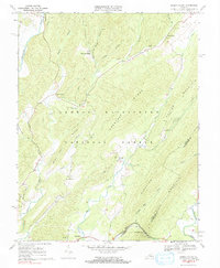
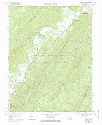
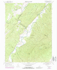
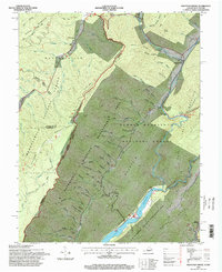
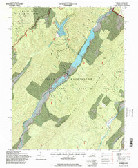
2022 Map of Bath Alum
USGS Topo · Published 2022About this map
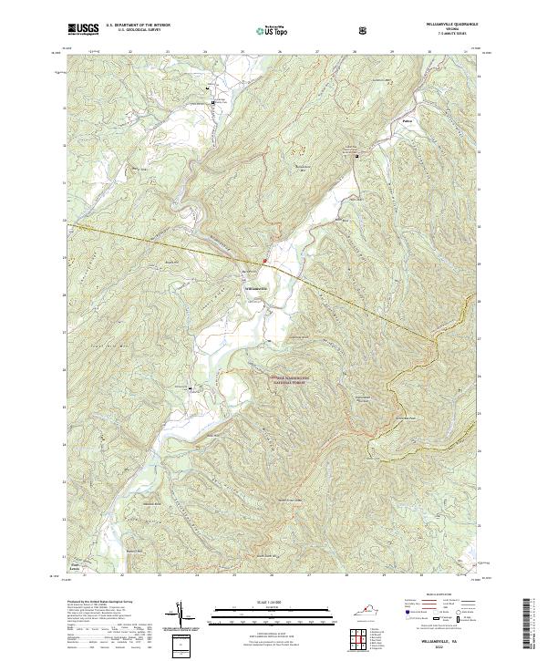
The Cowpasture River winds through the heart of this Bath County landscape, creating a fertile valley flanked by the steep ridges of Warm Springs Mtn and Tower Hill Mtn. The small settlements of Bath Alum and McClung serve as central points in a terrain dominated by the George Washington National Forest. Local history and genealogy are preserved in several distinct locations, including the Windy Cove Presbyterian Church Cem near the river and the Metheny Family Cem further north.
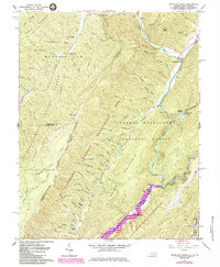
Find a feature on this map
75 named features on this map. Tap any name to fly to it.
Don’t see what you’re looking for? This feature index may not catch every label — zoom into the map to look around manually.
Map Details
Editions of this 2022 Bath Alum Map
This is the sole edition of this map. No revisions or reprints were ever made.
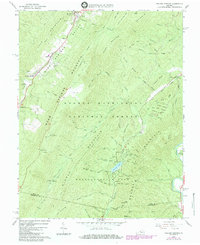
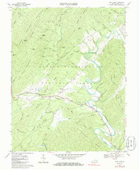
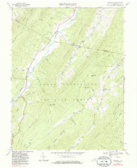
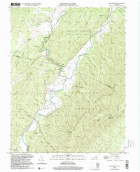
Historical Maps of McClung Through Time
27 maps found

1930 Mountain Grove
Bath County, VA
1930 Warm Springs Run
Bath County, VA
1931 Healing Springs
Bath County, VA
1933 Healing Springs
Bath County, VA
1933 Mountain Grove
Bath County, VA
1933 Warm Springs Run
Bath County, VA

1946 Williamsville
Bath County, VA
1949 Williamsville
Bath County, VA
1961 Mountain Grove
Bath County, VA
1961 Sunrise
Bath County, VA
1966 Healing Springs
Bath County, VA
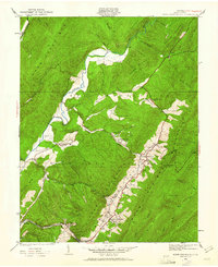
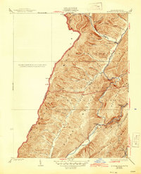
1968 Bath Alum
Bath County, VA
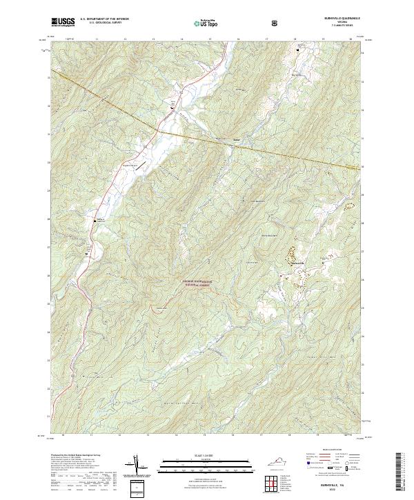
1969 Burnsville
Bath County, VA
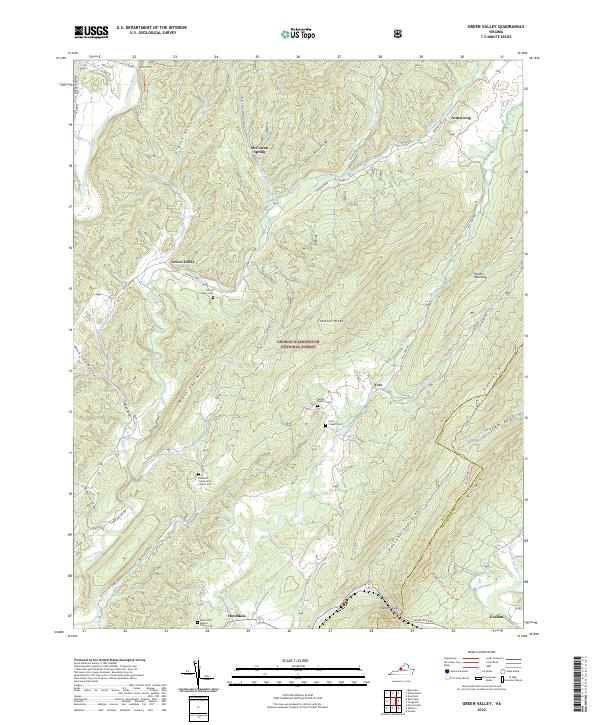
1969 Green Valley
Bath County, VA
1969 Nimrod Hall
Bath County, VA
1969 Williamsville
Bath County, VA
1995 Mountain Grove
Bath County, VA
1995 Sunrise
Bath County, VA
1999 Williamsville
Bath County, VA
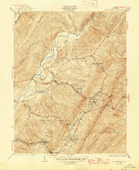
2022 Bath Alum
Bath County, VA
2022 Burnsville
Bath County, VA
2022 Green Valley
Bath County, VA
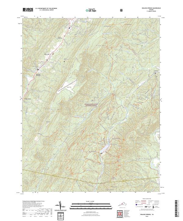
2022 Healing Springs
Bath County, VA
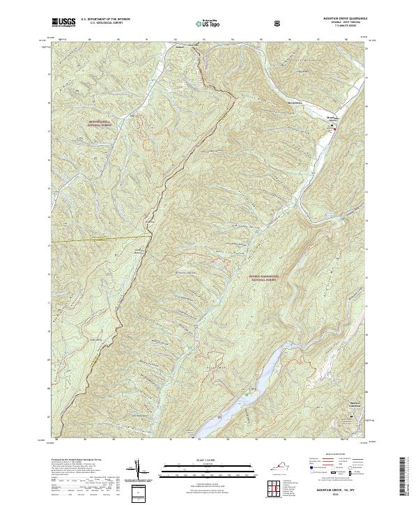
2022 Mountain Grove
Bath County, VA
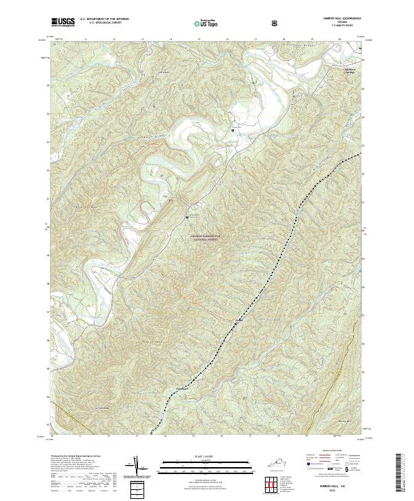
2022 Nimrod Hall
Bath County, VA
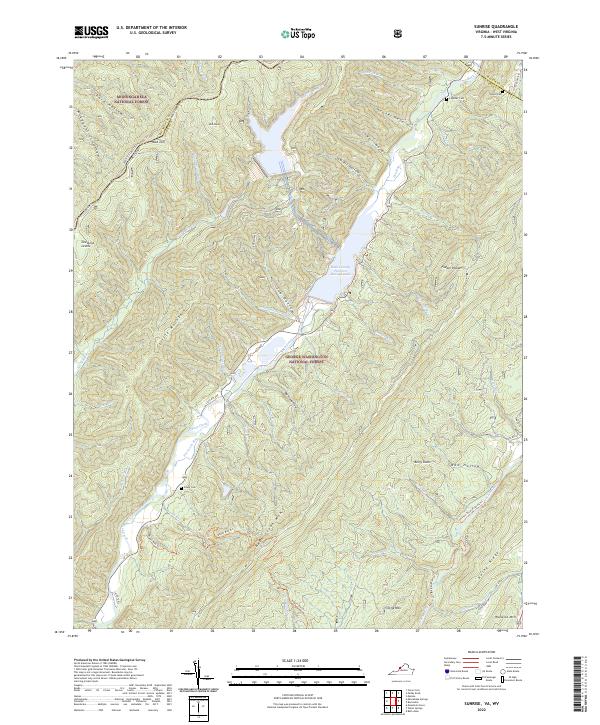
2022 Sunrise
Bath County, VA
2022 Williamsville
Bath County, VA