
1957 Map of Beech Hill
USGS Topo · Published 1959About this map
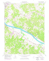
The Kanawha River dictates the movement and settlement patterns of this Mason County landscape, with the New York Central railroad hugging the northern bank through Rayburn and Santown. In the mid-1950s, this area remained largely rural, characterized by small communities like Meadowbrook and Beech Hill connected by a network of winding roads. The map captures a high density of community centers, including rural education sites such as the Franklin D Roosevelt Sch and Hazel Valley Sch.
Find a feature on this map
52 named features on this map. Tap any name to fly to it.
Don’t see what you’re looking for? This feature index may not catch every label — zoom into the map to look around manually.
Map Details
Editions of this 1957 Beech Hill Map
2 editions found
Historical Maps of Point Pleasant Through Time
34 maps found

1906 Glenwood
Mason County, WV
1908 Glenwood
Mason County, WV
1957 Beech Hill
Mason County, WV
1958 Arlee
Mason County, WV
1958 Mount Alto
Mason County, WV
1958 Mount Olive
Mason County, WV
1958 Robertsburg
Mason County, WV
1977 Robertsburg
Mason County, WV
1994 Mount Alto
Mason County, WV
2011 Arlee
Mason County, WV
2011 Beech Hill
Mason County, WV
2011 Mount Alto
Mason County, WV
2011 Mount Olive
Mason County, WV
2011 Robertsburg
Mason County, WV
2014 Arlee
Mason County, WV
2014 Beech Hill
Mason County, WV
2014 Mount Alto
Mason County, WV
2014 Mount Olive
Mason County, WV
2014 Robertsburg
Mason County, WV
2016 Arlee
Mason County, WV
2016 Beech Hill
Mason County, WV
2016 Mount Alto
Mason County, WV
2016 Mount Olive
Mason County, WV
2016 Robertsburg
Mason County, WV
2019 Arlee
Mason County, WV
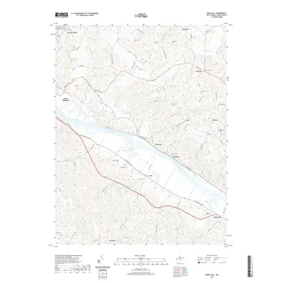
2019 Beech Hill
Mason County, WV
2019 Mount Alto
Mason County, WV
2019 Mount Olive
Mason County, WV
2019 Robertsburg
Mason County, WV
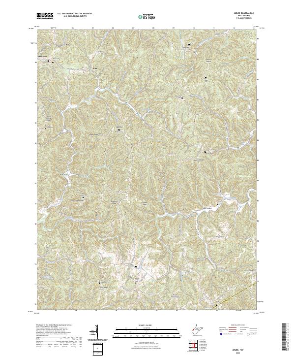
2023 Arlee
Mason County, WV
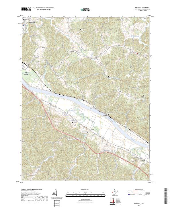
2023 Beech Hill
Mason County, WV
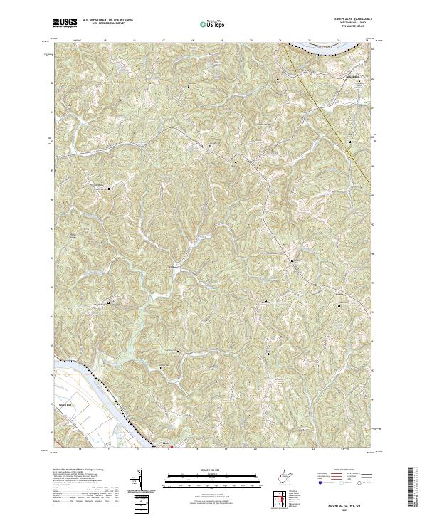
2023 Mount Alto
Mason County, WV
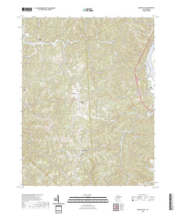
2023 Mount Olive
Mason County, WV
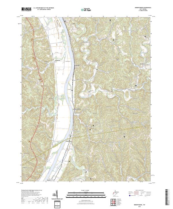
2023 Robertsburg
Mason County, WV