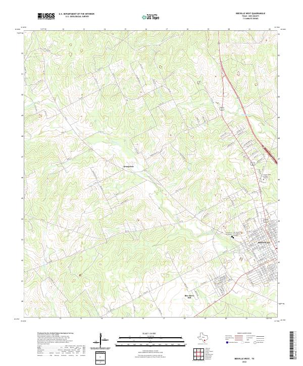
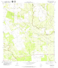
2022 Map of Beeville West
USGS Topo · Published 2022About this map
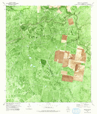
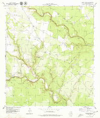
Beeville and its western outskirts anchor this survey, showing a landscape defined by the drainage of Poesta Cr and Talpacate Cr. The transition from the structured residential grid of the town to the larger pastoral holdings of Bee County is evident in the network of ranch roads and country lanes like Algea Ranch Rd and Gill Ranch RD. This area reflects the modern educational and spiritual infrastructure of the region, featuring the Coastal Bend College - Beeville campus and significant local landmarks such as Our Lady of Victory Cem Number 1.
Find a feature on this map
114 named features on this map. Tap any name to fly to it.
Don’t see what you’re looking for? This feature index may not catch every label — zoom into the map to look around manually.
Map Details
Editions of this 2022 Beeville West Map
This is the sole edition of this map. No revisions or reprints were ever made.
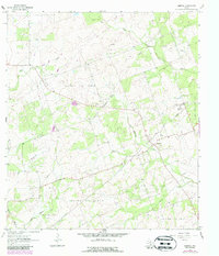
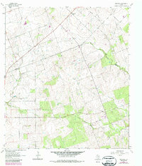
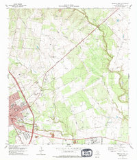
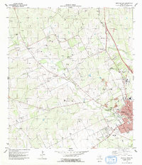
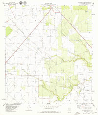
Historical Maps of Orangedale Through Time
23 maps found
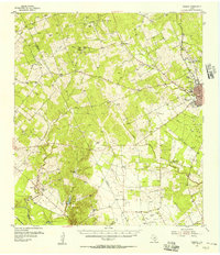
1954 Fleming
Bee County, TX
1963 Mineral
Bee County, TX
1963 Monteola
Bee County, TX
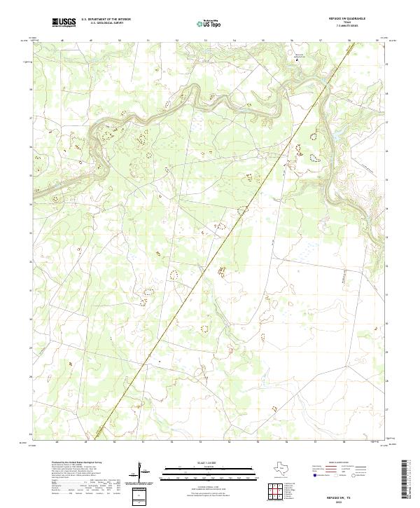
1978 Refugio SW
Bee County, TX
1979 Beeville East
Bee County, TX
1979 Beeville West
Bee County, TX
1979 Bullshead Creek
Bee County, TX
1979 Burkes Ridge
Bee County, TX
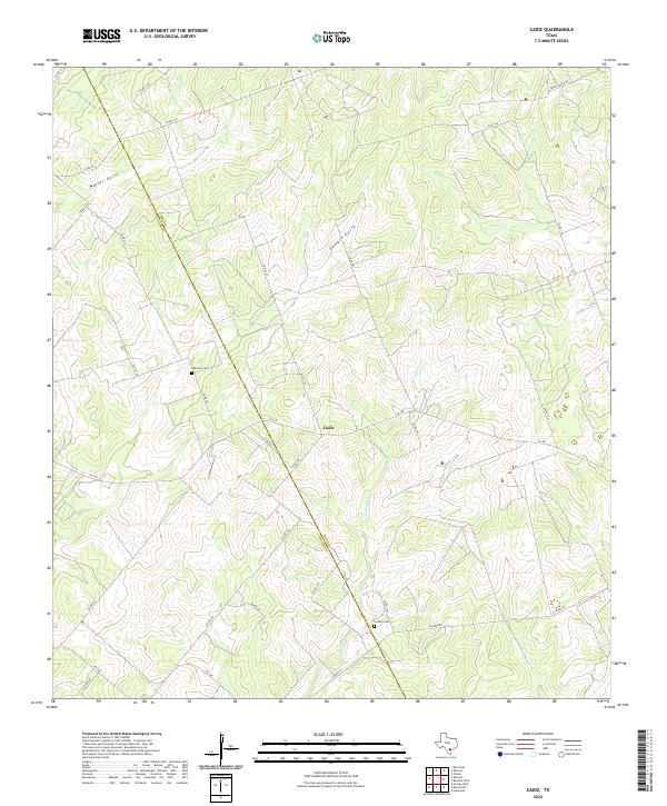
1979 Cadiz
Bee County, TX
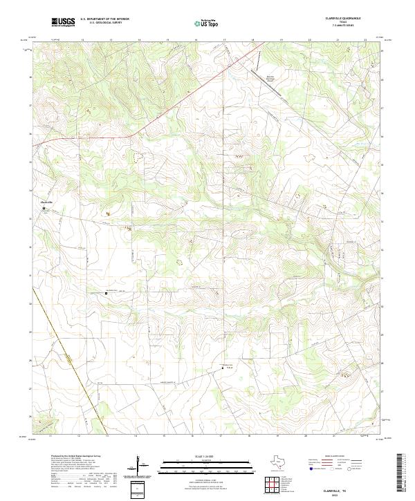
1979 Clareville
Bee County, TX
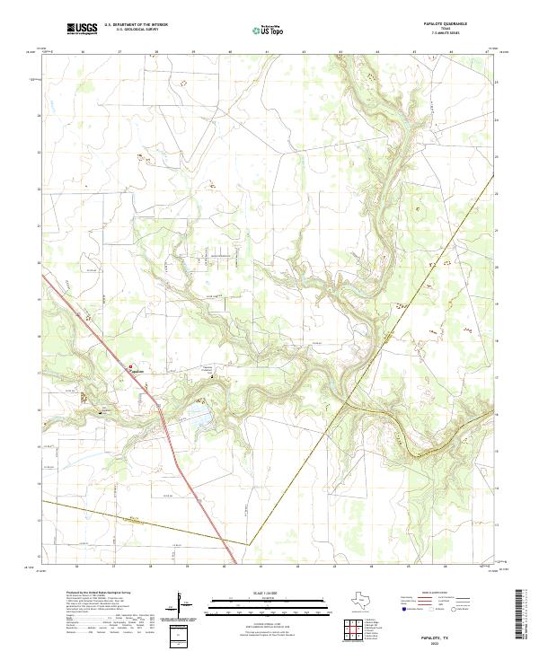
1979 Papalote
Bee County, TX
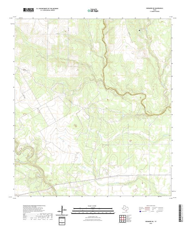
1979 Skidmore NE
Bee County, TX
2022 Beeville East
Bee County, TX
2022 Beeville West
Bee County, TX
2022 Bullshead Creek
Bee County, TX
2022 Burkes Ridge
Bee County, TX
2022 Cadiz
Bee County, TX
2022 Clareville
Bee County, TX
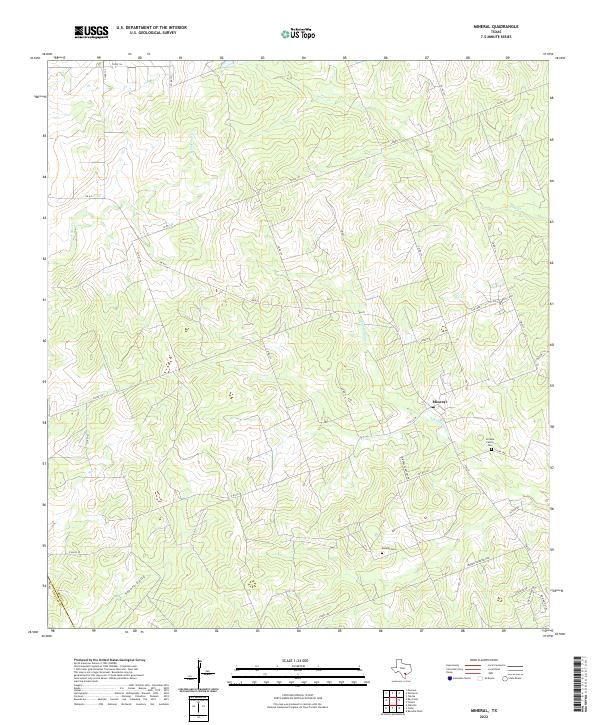
2022 Mineral
Bee County, TX
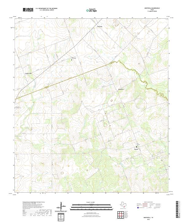
2022 Monteola
Bee County, TX
2022 Papalote
Bee County, TX
2022 Refugio SW
Bee County, TX
2022 Skidmore NE
Bee County, TX