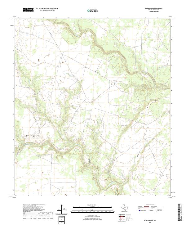
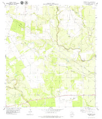
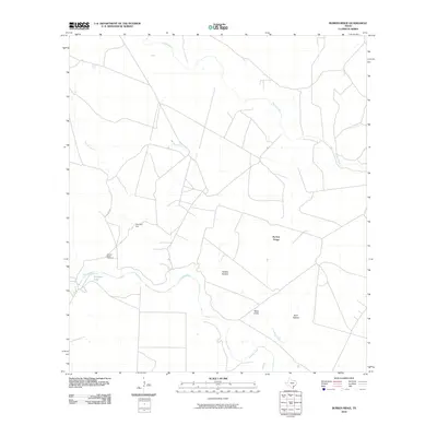
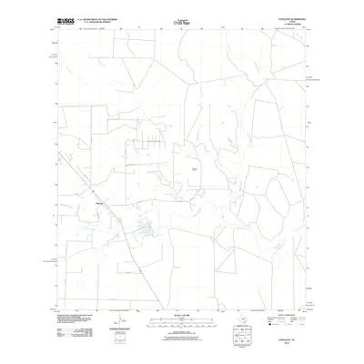
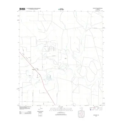
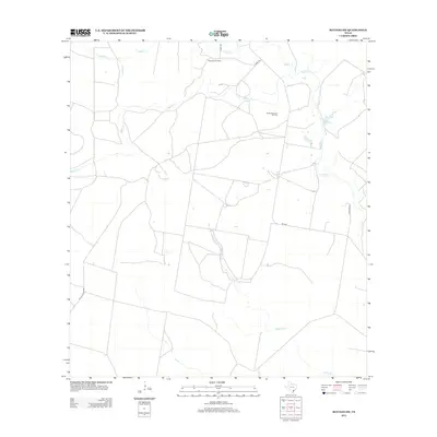
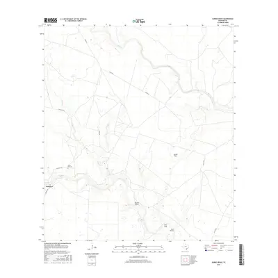
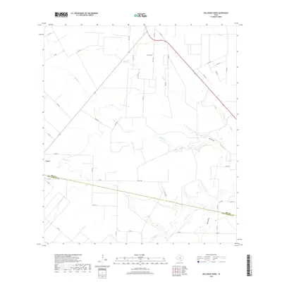
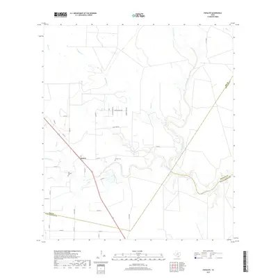
2022 Map of Burkes Ridge
USGS Topo · Published 2022About this map
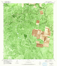
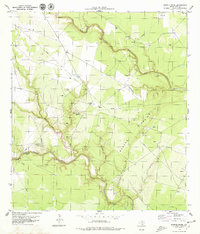
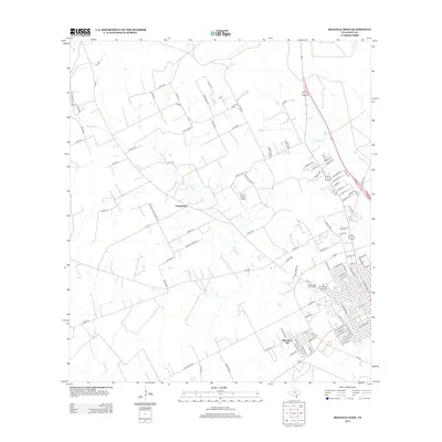
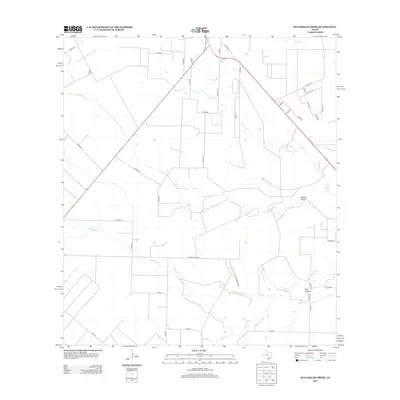
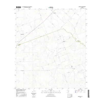
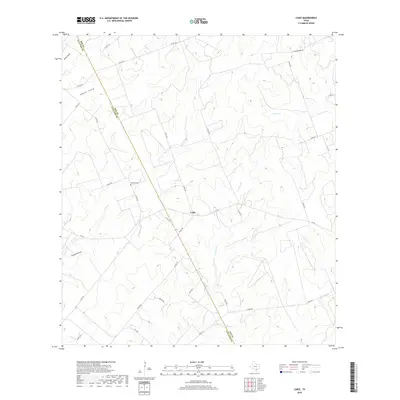
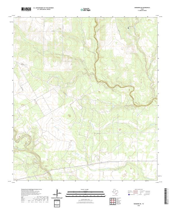
Burkes Ridge rises above a landscape defined by the winding course of the Aransas River and its various tributaries in this Bee County interior. The terrain is marked by significant hydrological features and erosional breaks, including Panther Hollow and Moss Gully to the south. Historically significant sites such as the Campo Santo Cem are located near the intersection of Guajolote Rd and Corrigan Rd, indicating long-standing local community ties to the land. Along the river, named landmarks like Corrigan Hole suggest traditional local knowledge of the waterway, while the northern sections are drained by the meandering Medio Cr. The sparse road network, including Wicker Rd, connects these isolated points across the coastal prairie landscape.
Find a feature on this map
15 named features on this map. Tap any name to fly to it.
Don’t see what you’re looking for? This feature index may not catch every label — zoom into the map to look around manually.
Map Details
Editions of this 2022 Burkes Ridge Map
This is the sole edition of this map. No revisions or reprints were ever made.
Historical Maps of Bee County Through Time
67 maps found
1954 Fleming
Bee County, TX
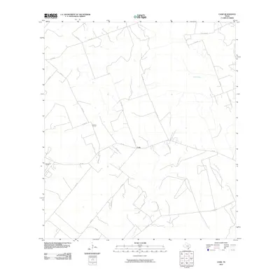
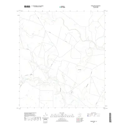
1963 Mineral
Bee County, TX
1963 Monteola
Bee County, TX
1978 Refugio SW
Bee County, TX
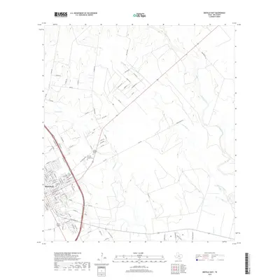
1979 Beeville East
Bee County, TX
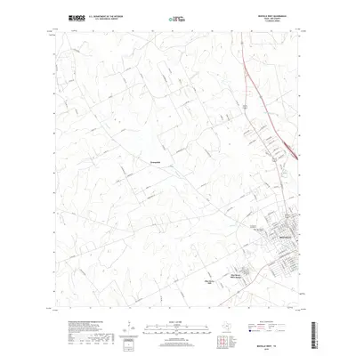
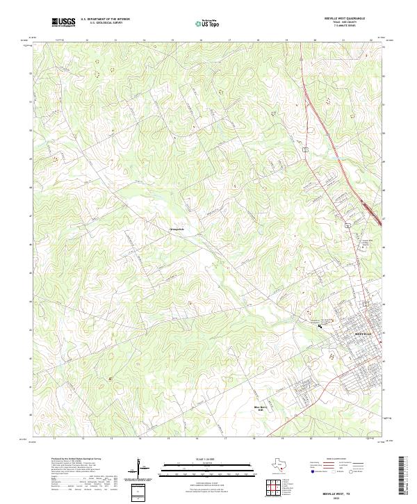
1979 Beeville West
Bee County, TX
1979 Bullshead Creek
Bee County, TX
1979 Burkes Ridge
Bee County, TX
1979 Cadiz
Bee County, TX
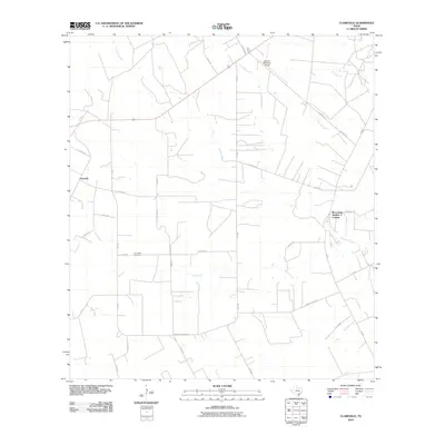
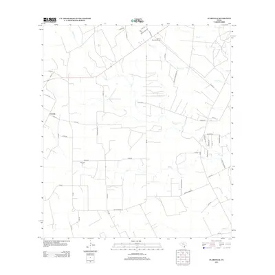
1979 Clareville
Bee County, TX
1979 Papalote
Bee County, TX
1979 Skidmore NE
Bee County, TX
2010 Beeville East
Bee County, TX
2010 Beeville West
Bee County, TX
2010 Bullshead Creek
Bee County, TX
2010 Burkes Ridge
Bee County, TX
2010 Cadiz
Bee County, TX
2010 Clareville
Bee County, TX
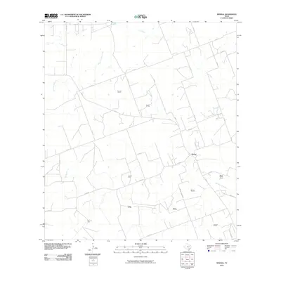
2010 Mineral
Bee County, TX

2010 Monteola
Bee County, TX
2010 Papalote
Bee County, TX
2010 Refugio SW
Bee County, TX
2010 Skidmore NE
Bee County, TX
2013 Beeville East
Bee County, TX
2013 Beeville West
Bee County, TX
2013 Bullshead Creek
Bee County, TX
2013 Burkes Ridge
Bee County, TX
2013 Cadiz
Bee County, TX
2013 Clareville
Bee County, TX
2013 Mineral
Bee County, TX
2013 Monteola
Bee County, TX
2013 Papalote
Bee County, TX
2013 Refugio SW
Bee County, TX
2013 Skidmore NE
Bee County, TX

2016 Beeville East
Bee County, TX
2016 Beeville West
Bee County, TX
2016 Bullshead Creek
Bee County, TX
2016 Burkes Ridge
Bee County, TX
2016 Cadiz
Bee County, TX
2016 Clareville
Bee County, TX
2016 Mineral
Bee County, TX
2016 Monteola
Bee County, TX
2016 Papalote
Bee County, TX
2016 Refugio SW
Bee County, TX
2016 Skidmore NE
Bee County, TX
2019 Beeville East
Bee County, TX
2019 Beeville West
Bee County, TX
2019 Bullshead Creek
Bee County, TX
2019 Burkes Ridge
Bee County, TX
2019 Cadiz
Bee County, TX
2019 Clareville
Bee County, TX
2019 Mineral
Bee County, TX
2019 Monteola
Bee County, TX
2019 Papalote
Bee County, TX
2019 Refugio SW
Bee County, TX
2019 Skidmore NE
Bee County, TX
2022 Beeville East
Bee County, TX
2022 Beeville West
Bee County, TX
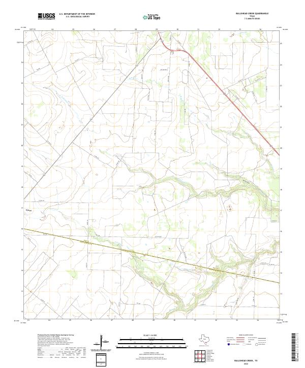
2022 Bullshead Creek
Bee County, TX
2022 Burkes Ridge
Bee County, TX
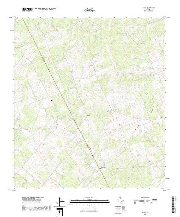
2022 Cadiz
Bee County, TX
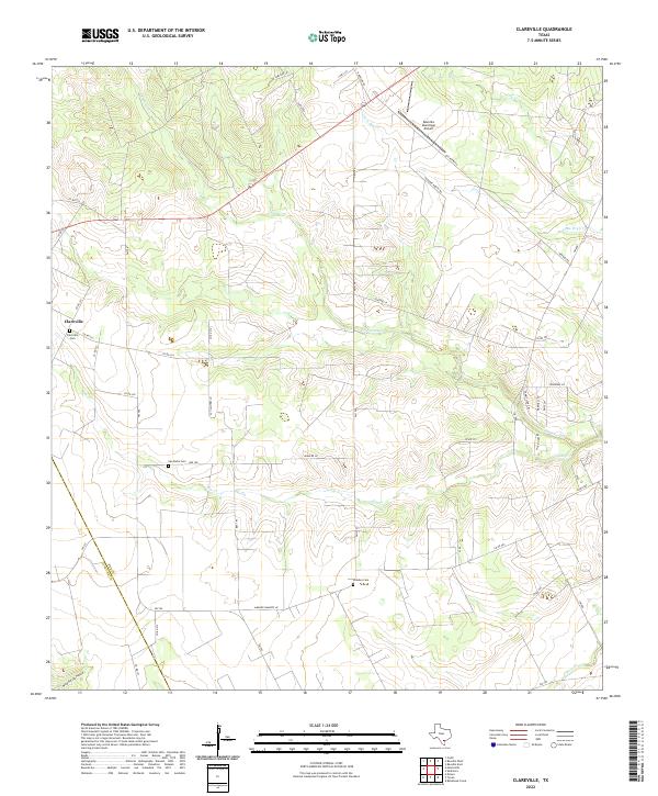
2022 Clareville
Bee County, TX
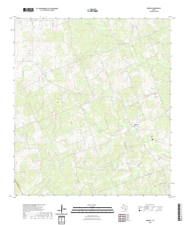
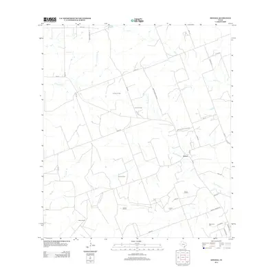
2022 Mineral
Bee County, TX
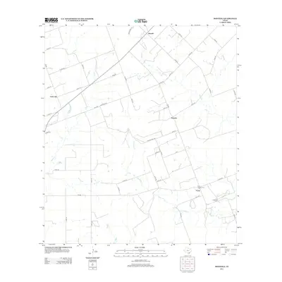
2022 Monteola
Bee County, TX
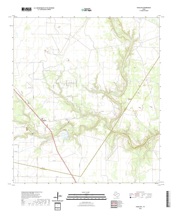
2022 Papalote
Bee County, TX
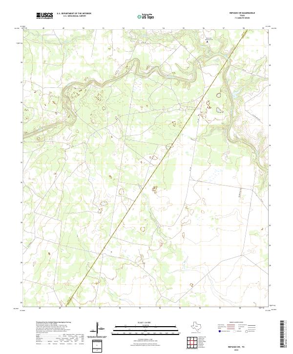
2022 Refugio SW
Bee County, TX
2022 Skidmore NE
Bee County, TX