
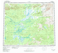
1956 Map of Bettles
USGS Topo · Published 1958About this map
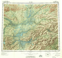
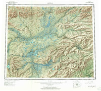
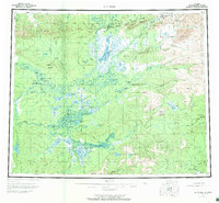
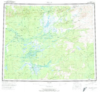
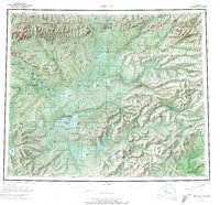
The Arctic Circle cuts directly through this 1950s landscape, marking a remote interior region defined by the convergence of the Koyukuk River and its major tributaries. The settlement of Evansville serves as a critical transportation hub, anchored by the Bettles Field Airport, while the original site of Bettles sits just to the northwest. This era of the territory shows a landscape navigated by a network of winter trails, connecting isolated outposts like Henshaw Cabin, Oscars Cabin, and Black Jack Cabin.
Find a feature on this map
72 named features on this map. Tap any name to fly to it.
Don’t see what you’re looking for? This feature index may not catch every label — zoom into the map to look around manually.
Map Details
Editions of this 1956 Bettles Map
10 editions found
Other maps of this area

1945 · Livengood
USGS Topo · 1:250,000

1951 · Hughes
USGS Topo · 1:250,000

1951 · Melozitna
USGS Topo · 1:250,000

1951 · Bettles
USGS Topo · 1:250,000

1951 · Survey Pass
USGS Topo · 1:250,000

1951 · Tanana
USGS Topo · 1:250,000

1951 · Chandalar
USGS Topo · 1:250,000

1951 · Livengood
USGS Topo · 1:250,000

1951 · Beaver
USGS Topo · 1:250,000

1951 · Wiseman
USGS Topo · 1:250,000