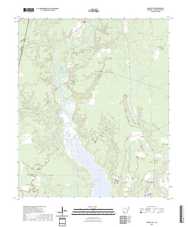
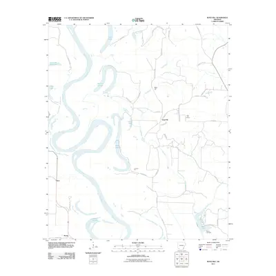
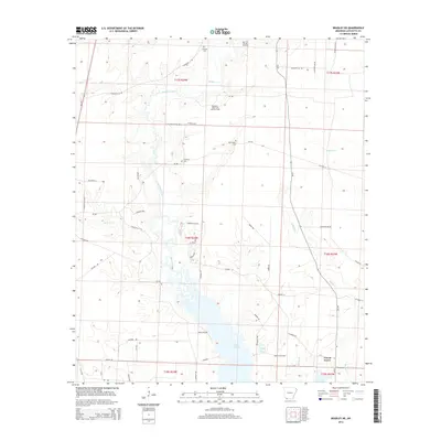
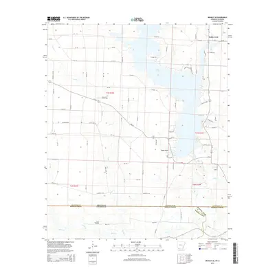
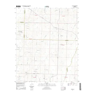
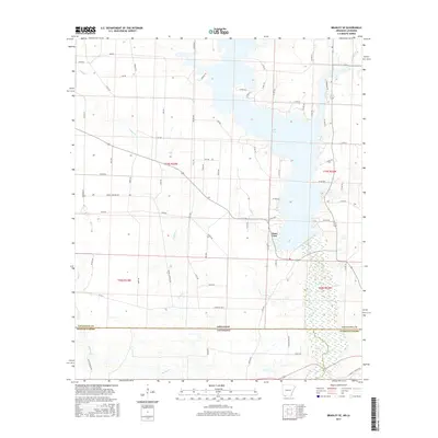
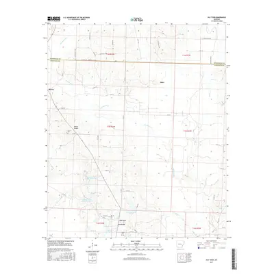
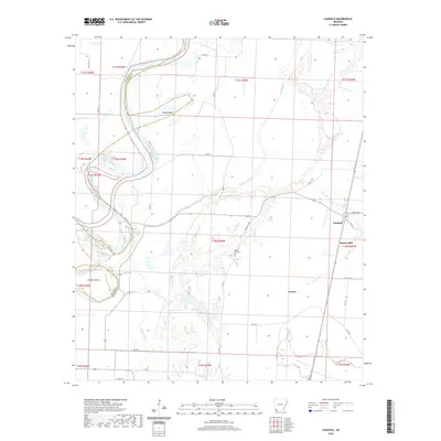
2024 Map of Bradley NE
USGS Topo · Published 2024About this map
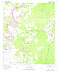
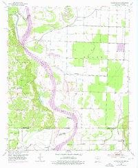
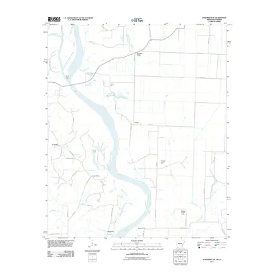
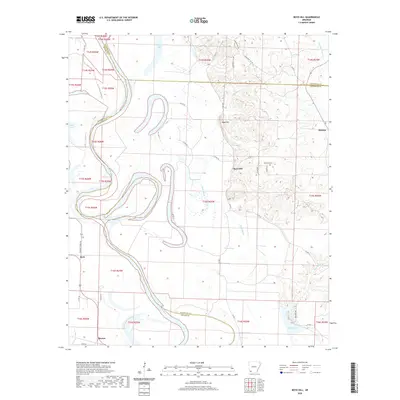
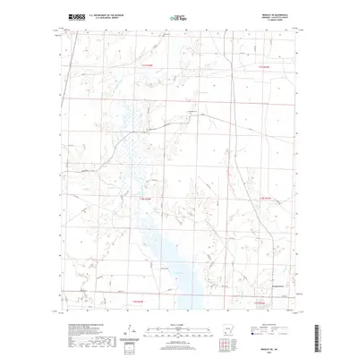
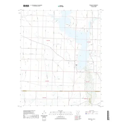
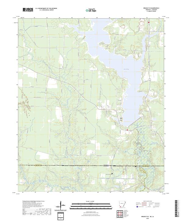
Lake Erling dominates the southern landscape of this Lafayette County region, where the wetlands of the Bodcau Creek basin create a complex network of waterways and timbered bottoms. The map documents a rural environment defined by small-scale burial sites such as Demoss Cem, McClendon Cem, and Primitive Cem, which are scattered among the township lines of T17S, T18S, and T19S. These cemeteries, often the most enduring markers of early family settlements, sit adjacent to a web of local routes like Homan Rd and Cook Rd. To the southeast, the small community of Forest Grove represents the primary residential concentration, positioned near the winding path of Walker Creek. The transition from the open waters of the lake to the smaller tributaries like Heirs Branch and Bandy Branch illustrates the hydrological character of the Red River valley borderlands, where narrow trails and county roads navigate around frequent bayous and seasonal wetlands.
Find a feature on this map
49 named features on this map. Tap any name to fly to it.
Don’t see what you’re looking for? This feature index may not catch every label — zoom into the map to look around manually.
Map Details
Editions of this 2024 Bradley NE Map
This is the sole edition of this map. No revisions or reprints were ever made.
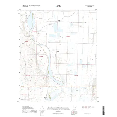
Historical Maps of Forest Grove Through Time
42 maps found
1952 Boyd Hill
Lafayette County, AR
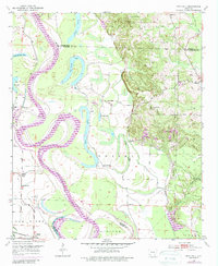
1952 Bradley NE
Lafayette County, AR
1952 Bradley SE
Lafayette County, AR
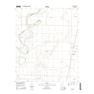
1952 Canfield
Lafayette County, AR
1952 Doddridge SE
Lafayette County, AR
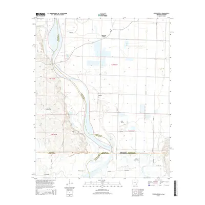
1952 Old Town
Lafayette County, AR
1968 Falcon
Lafayette County, AR
2011 Boyd Hill
Lafayette County, AR
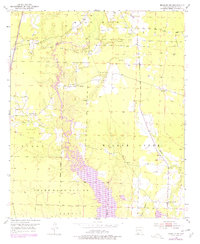
2011 Bradley NE
Lafayette County, AR
2011 Bradley SE
Lafayette County, AR
2011 Canfield
Lafayette County, AR
2011 Doddridge SE
Lafayette County, AR
2011 Falcon
Lafayette County, AR
2011 Old Town
Lafayette County, AR
2014 Boyd Hill
Lafayette County, AR
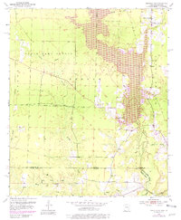
2014 Bradley NE
Lafayette County, AR
2014 Bradley SE
Lafayette County, AR
2014 Canfield
Lafayette County, AR
2014 Doddridge SE
Lafayette County, AR
2014 Falcon
Lafayette County, AR
2014 Old Town
Lafayette County, AR
2017 Boyd Hill
Lafayette County, AR
2017 Bradley NE
Lafayette County, AR
2017 Bradley SE
Lafayette County, AR
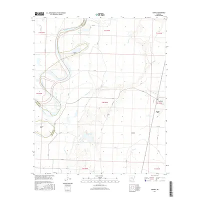
2017 Canfield
Lafayette County, AR
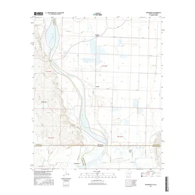
2017 Doddridge SE
Lafayette County, AR
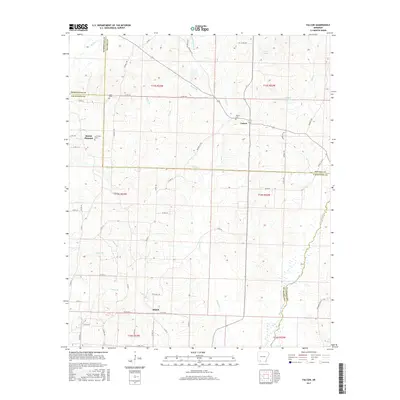
2017 Falcon
Lafayette County, AR
2017 Old Town
Lafayette County, AR
2020 Boyd Hill
Lafayette County, AR
2020 Bradley NE
Lafayette County, AR
2020 Bradley SE
Lafayette County, AR
2020 Canfield
Lafayette County, AR
2020 Doddridge SE
Lafayette County, AR
2020 Falcon
Lafayette County, AR
2020 Old Town
Lafayette County, AR
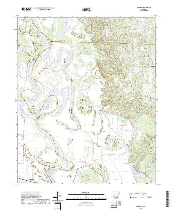
2024 Boyd Hill
Lafayette County, AR
2024 Bradley NE
Lafayette County, AR
2024 Bradley SE
Lafayette County, AR
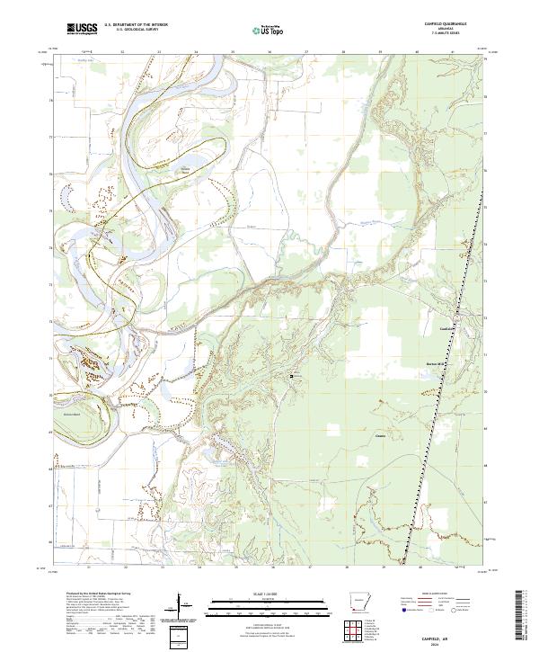
2024 Canfield
Lafayette County, AR
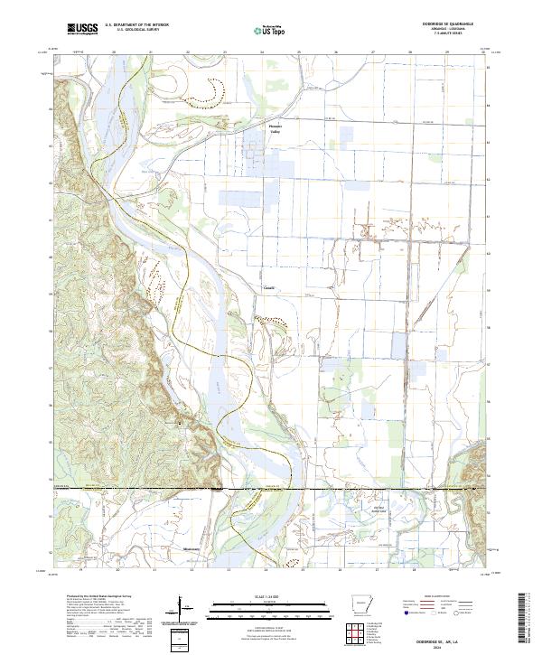
2024 Doddridge SE
Lafayette County, AR
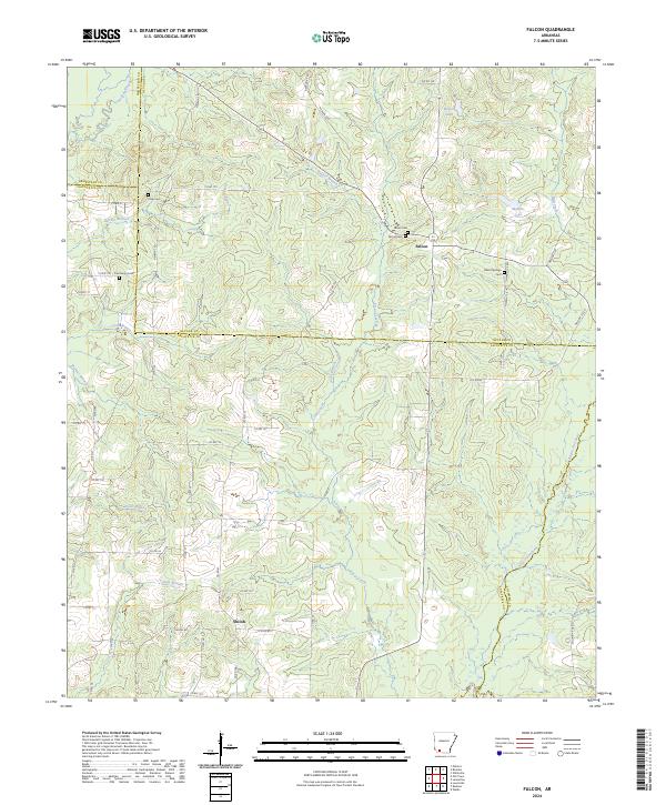
2024 Falcon
Lafayette County, AR
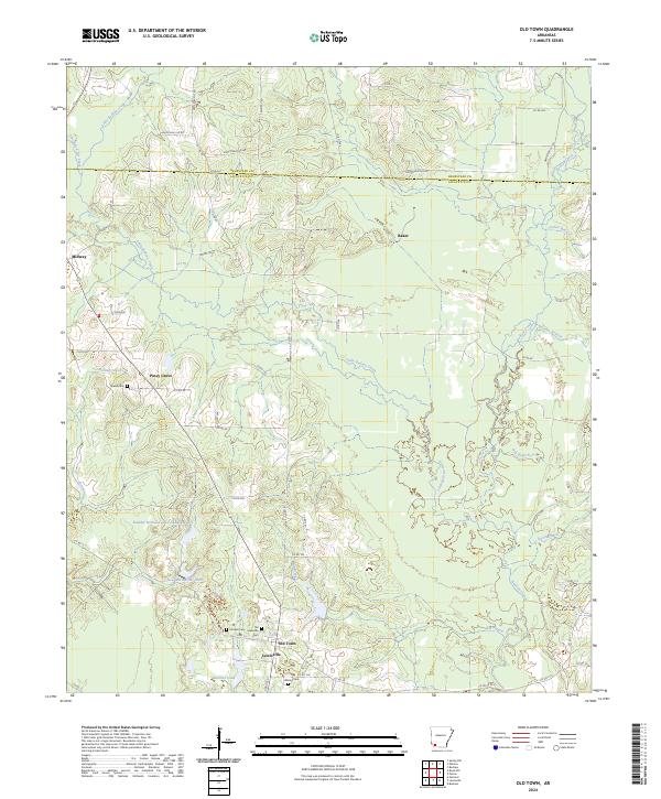
2024 Old Town
Lafayette County, AR