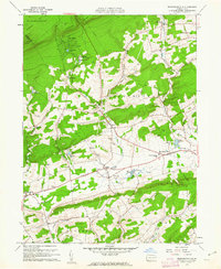
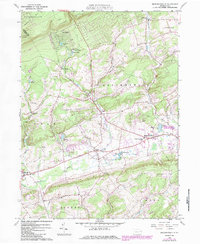
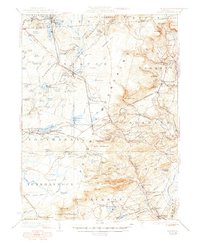
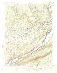
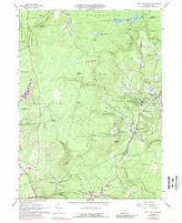
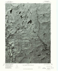
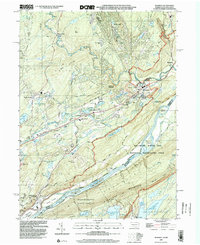
1960 Map of Broadheadsville
USGS Topo · Published 1962This historical map portrays the area of Broadheadsville in 1960, primarily covering Monroe County as well as portions of Carbon County. Featuring a scale of 1:24000, this map provides a highly detailed snapshot of the terrain, roads, buildings, counties, and historical landmarks in the Broadheadsville region at the time. Published in 1962, it is one of 7 known editions of this map due to revisions or reprints.
Find a feature on this map
41 named features on this map. Tap any name to fly to it.
Don’t see what you’re looking for? This feature index may not catch every label — zoom into the map to look around manually.
Map Details
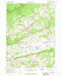
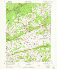
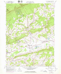
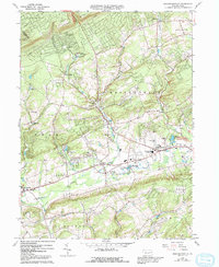
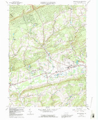
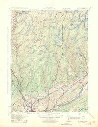
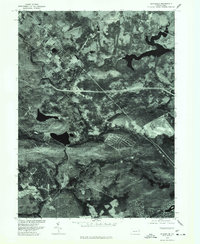
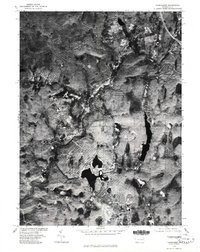
Editions of this 1960 Broadheadsville Map
7 editions found
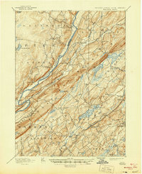
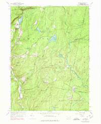
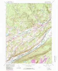
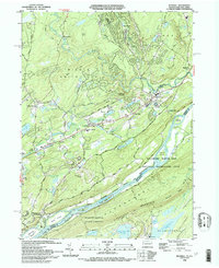
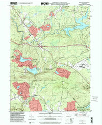
Historical Maps of Penn Forest Township Through Time
35 maps found

1891 Wallpack
Monroe County, PA
1893 Wallpack
Monroe County, PA

1919 Pocono
Monroe County, PA

1921 Pocono
Monroe County, PA
1923 Pocono
Monroe County, PA

1924 Bushkill
Monroe County, PA
1943 Bushkill
Monroe County, PA

1943 Pocono
Monroe County, PA
1943 Skytop
Monroe County, PA
1944 Bushkill
Monroe County, PA
1947 Bushkill
Monroe County, PA

1947 Skytop
Monroe County, PA

1959 Pocono
Monroe County, PA
1965 Blakeslee
Monroe County, PA
1965 Thornhurst
Monroe County, PA
1965 Tobyhanna
Monroe County, PA
1966 Buck Hill Falls
Monroe County, PA
1976 Blakeslee
Monroe County, PA
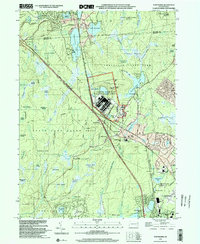
1976 Broadheadsville
Monroe County, PA

1976 Buck Hill Falls
Monroe County, PA
1976 Bushkill
Monroe County, PA
1976 Skytop
Monroe County, PA
1976 Thornhurst
Monroe County, PA

1976 Tobyhanna
Monroe County, PA

1992 Blakeslee
Monroe County, PA
1993 Bushkill
Monroe County, PA

1994 Buck Hill Falls
Monroe County, PA

1994 Skytop
Monroe County, PA

1994 Tobyhanna
Monroe County, PA

1997 Buck Hill Falls
Monroe County, PA

1997 Skytop
Monroe County, PA

1997 Thornhurst
Monroe County, PA
1999 Blakeslee
Monroe County, PA
1999 Bushkill
Monroe County, PA
1999 Tobyhanna
Monroe County, PA
Featured Locations
- Penn Forest Township, PA
- Eldred Township, PA
- Tunkhannock Township, PA
- Chestnuthill Township, PA
- Brodheadsville, Chestnuthill Township