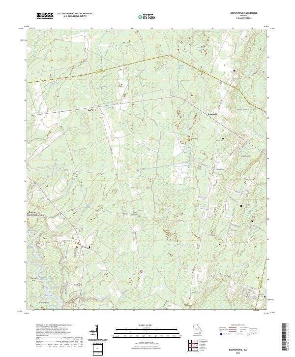
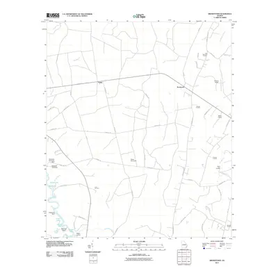
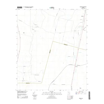
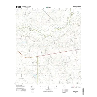
2024 Map of Browntown
USGS Topo · Published 2024About this map
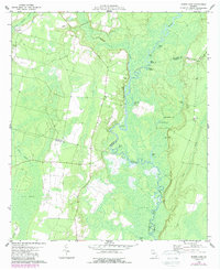
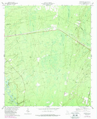
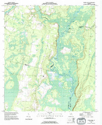
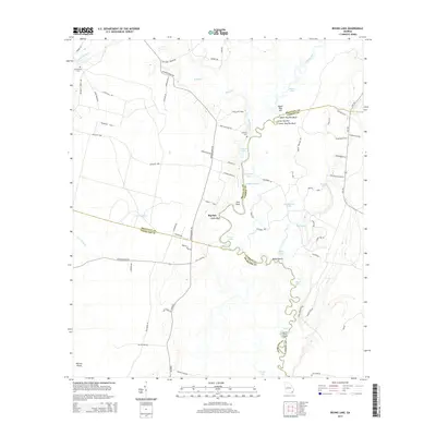
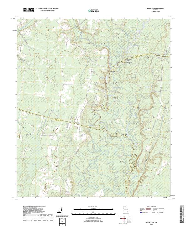
The Satilla River carves a winding path through the southern portion of this landscape, defining a complex system of reaches and lakes such as Buzzard Roost Reach, Forked Lake, and Cypress Lake. This wetland-rich environment in Brantley County is characterized by extensive hammocks and bays, including Penholoway Bay and Briar Bay, which have historically shaped the local settlement patterns. Small communities like Browntown and Fendig are positioned along the primary road corridors, while more secluded landings like Robinson Hammock Bluff and Zetser Hammock dot the interior terrain.
Find a feature on this map
92 named features on this map. Tap any name to fly to it.
Don’t see what you’re looking for? This feature index may not catch every label — zoom into the map to look around manually.
Map Details
Editions of this 2024 Browntown Map
This is the sole edition of this map. No revisions or reprints were ever made.
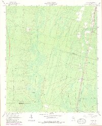
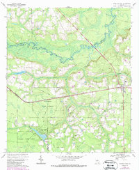
Historical Maps of Browntown Through Time
31 maps found
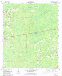
1966 Hoboken East
Brantley County, GA
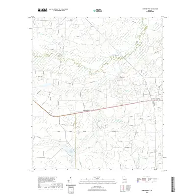
1966 Winokur
Brantley County, GA
1967 Hoboken West
Brantley County, GA
1978 Boons Lake
Brantley County, GA
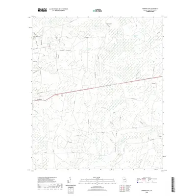
1978 Browntown
Brantley County, GA
1993 Boons Lake
Brantley County, GA
2011 Boons Lake
Brantley County, GA
2011 Browntown
Brantley County, GA
2011 Hoboken East
Brantley County, GA
2011 Hoboken West
Brantley County, GA
2011 Winokur
Brantley County, GA
2014 Boons Lake
Brantley County, GA
2014 Browntown
Brantley County, GA
2014 Hoboken East
Brantley County, GA
2014 Hoboken West
Brantley County, GA
2014 Winokur
Brantley County, GA
2017 Boons Lake
Brantley County, GA
2017 Browntown
Brantley County, GA
2017 Hoboken East
Brantley County, GA
2017 Hoboken West
Brantley County, GA
2017 Winokur
Brantley County, GA
2020 Boons Lake
Brantley County, GA
2020 Browntown
Brantley County, GA
2020 Hoboken East
Brantley County, GA
2020 Hoboken West
Brantley County, GA
2020 Winokur
Brantley County, GA
2024 Boons Lake
Brantley County, GA
2024 Browntown
Brantley County, GA
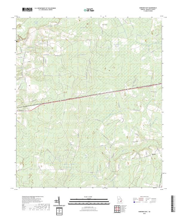
2024 Hoboken East
Brantley County, GA
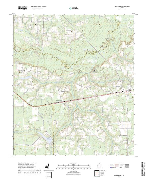
2024 Hoboken West
Brantley County, GA
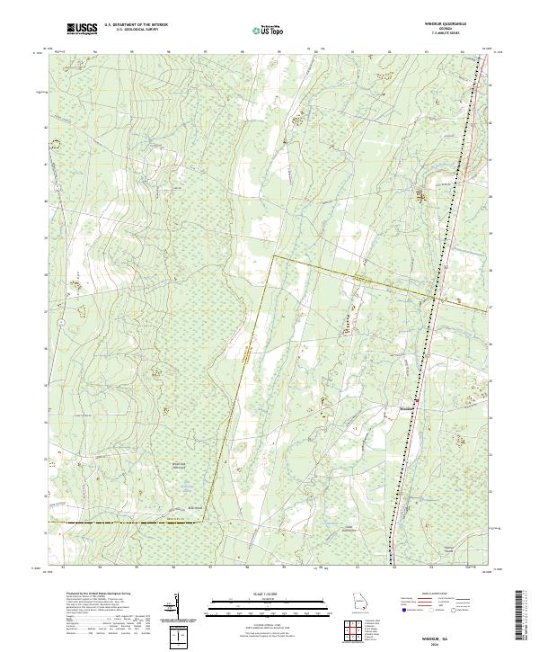
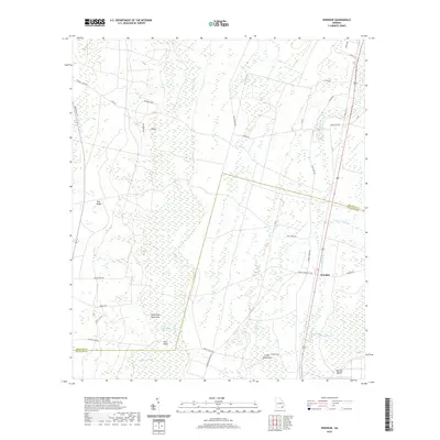
2024 Winokur
Brantley County, GA